Archives

Acadia National Park

Maine

I will be honest here. I had never heard of Acadia National Park until some friends attended a family wedding there a couple of years ago and their photos blew me away. Lighthouses, rocky coasts, hiking trails, granite cliffs, tidepools, evergreen forests and tons of seafood? Sign me up!
As with so many other top-tier parks we have visited throughout the years, Acadia was not necessarily “easy” to get to. Located on the North Atlantic Seaboard in Maine, it is a five-hour drive from Boston or a three-hour drive from Portland, Maine. In other words, direct flights don’t get you very close. My husband and I flew from Dallas to Philadelphia, then Philly to Bangor. Our rental in Southwest Harbor was then a 90-minute drive from the small Bangor airport. Our adult kids from Denver flew non-stop to Boston, spent the night, then drove five-hours up the coast to Acadia National Park the following day. In other words, unless you live in New England, getting to Acadia takes a little bit of planning and time. With that said, it is well worth it!
Here are a few facts that I learned while visiting. Acadia National Park is the oldest designated national park east of the Mississippi River. The park gets almost 4 million visitors per year making it one of the most popular parks in the National Park Service. Acadia National Park is located on an 108 square mile island (Mount Desert Island) and also on the Schoodic Peninsula, which is actually on the mainland.
Bear with me here. I am a visual learner and will be speaking to my peeps. To fully visualize Acadia National Park, picture a set of lop-sided lungs. The smaller, left (west) “lung” is made up of Southwest Harbor and Bass Harbor. This is the quieter side of the park/island and where we stayed. Loved it! Somes Sound splits the west and east “lobes”. The bigger, right (east) “lung” is home to Bar Harbor, Seal Harbor, Northeast Harbor and the more popular parts of the park. Bar Harbor is the largest town in this area and offers most of the dining and lodging options in the park.

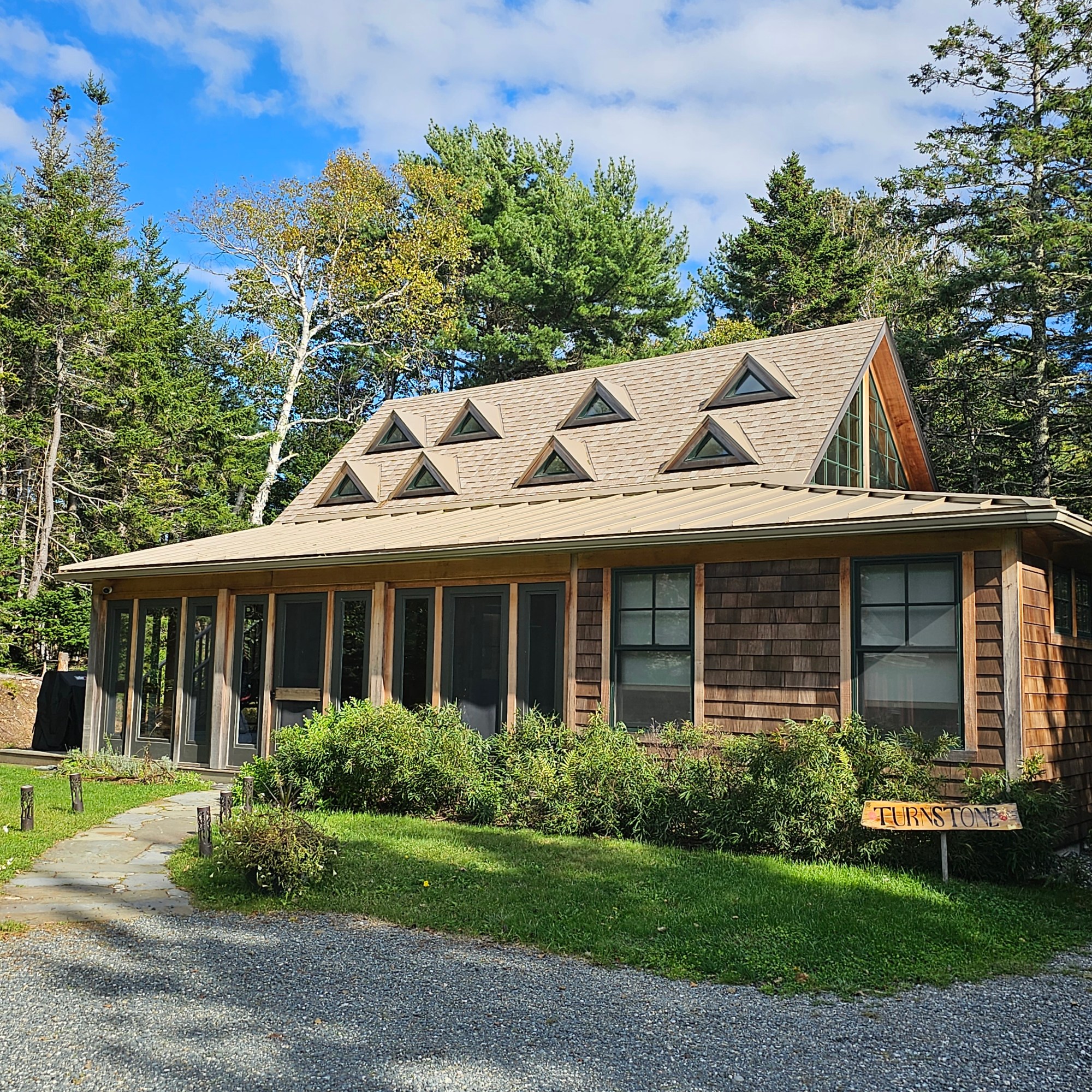
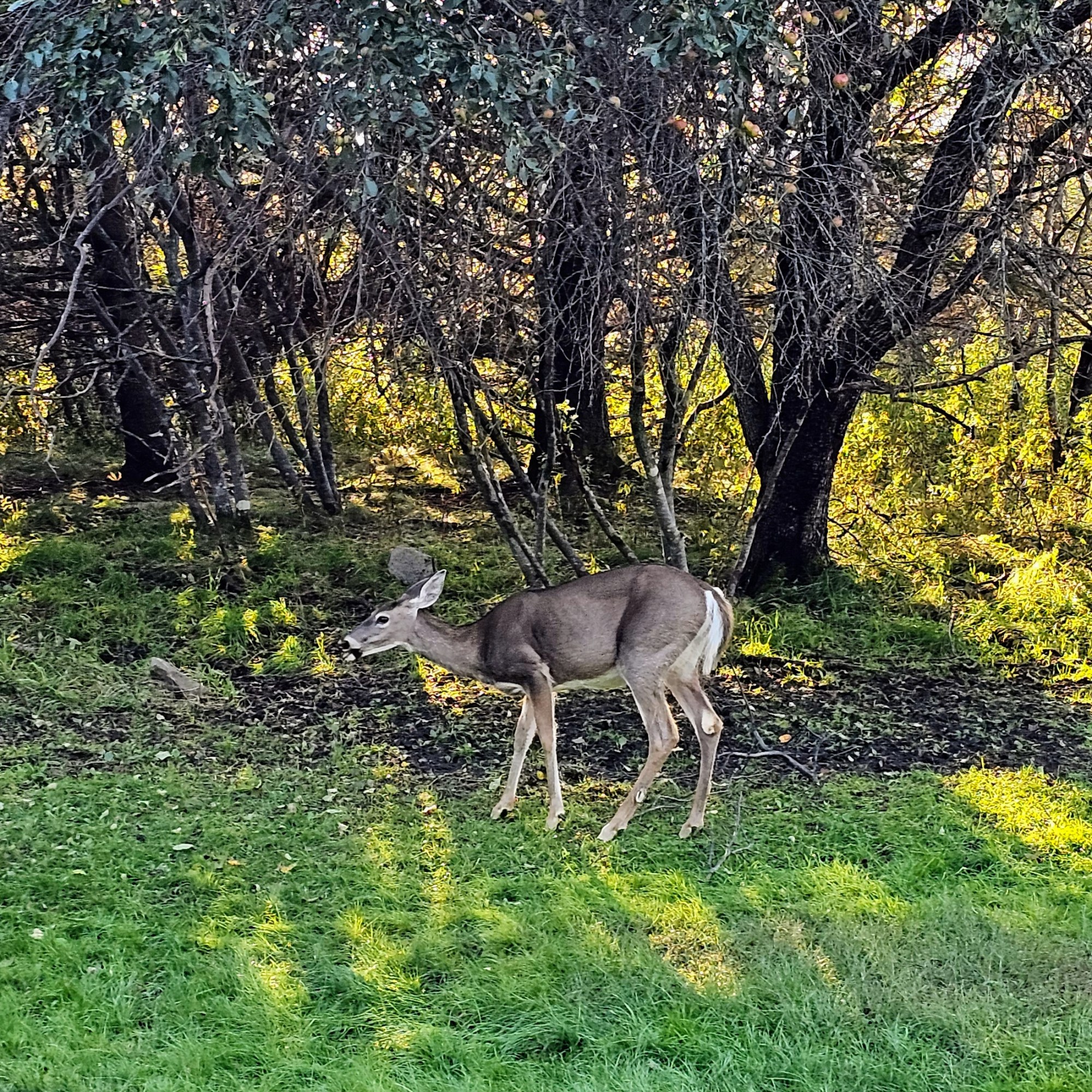
My family (husband and 3 adult kids) stayed in a wonderful little rental in Southwest Harbor. It was quiet. It was peaceful. We could see the Milky Way from the front yard and listened to owls and coyotes at night. Deer frequented the yard. We had a 10-minute drive to the Bass Harbor Lighthouse and hiking trails. We had a 30-minute drive to Bar Harbor and the park’s main trails and sights. We had a 45-minute drive to the beginning of Schoodic Peninsula. This location was perfect for our plans and we preferred dining in the tiny town of Southwest Harbor, far away from the cruise ships and crowds in Bar Harbor.
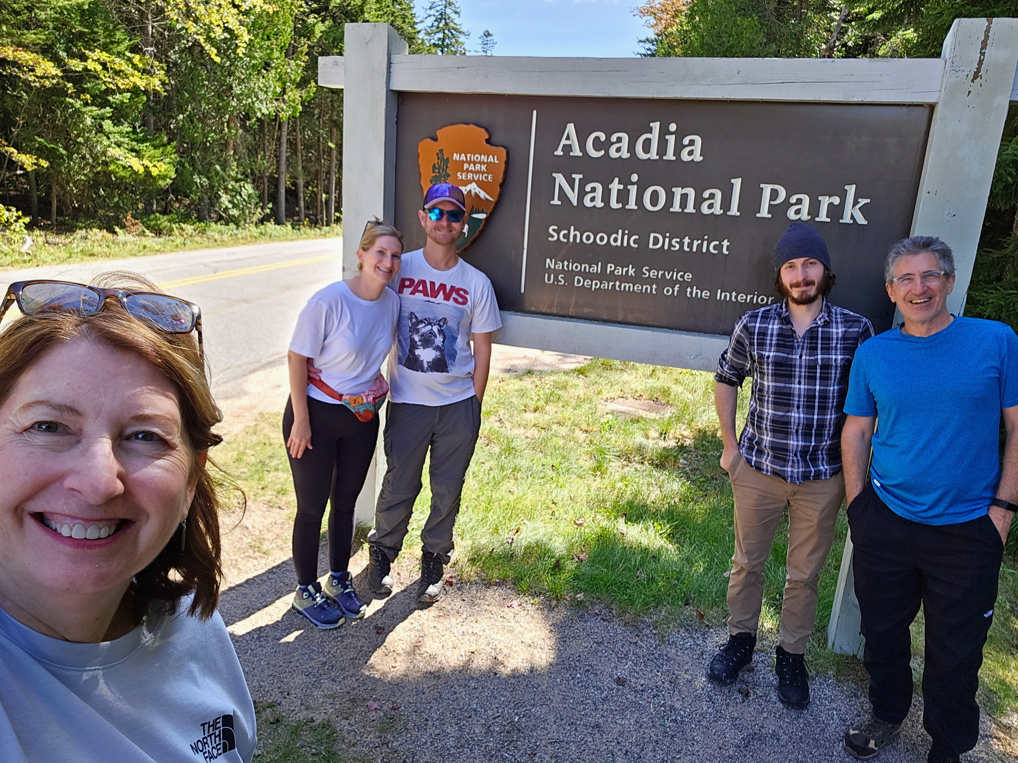
We had four full days to explore the park. It would take weeks to see and do everything within Acadia’s boundaries. Me being me, I had an itinerary planned for each day (insert “of course she did” family eye roll here!). I wanted us to see and do as much as we could (weather permitting). Fortunately, and unfortunately, we arrived the day after Hurricane Lee blew through Maine. It was fortunate because our trip could have easily been canceled due to weather, flooding and power outages. Luckily, that never came to fruition. Unfortunately, we had misty rain and strong ocean breezes the first full day as the storm moved on north into Canada. The weather didn’t stop us and we did what we could that first day – enjoying a taste of “real” Maine weather.
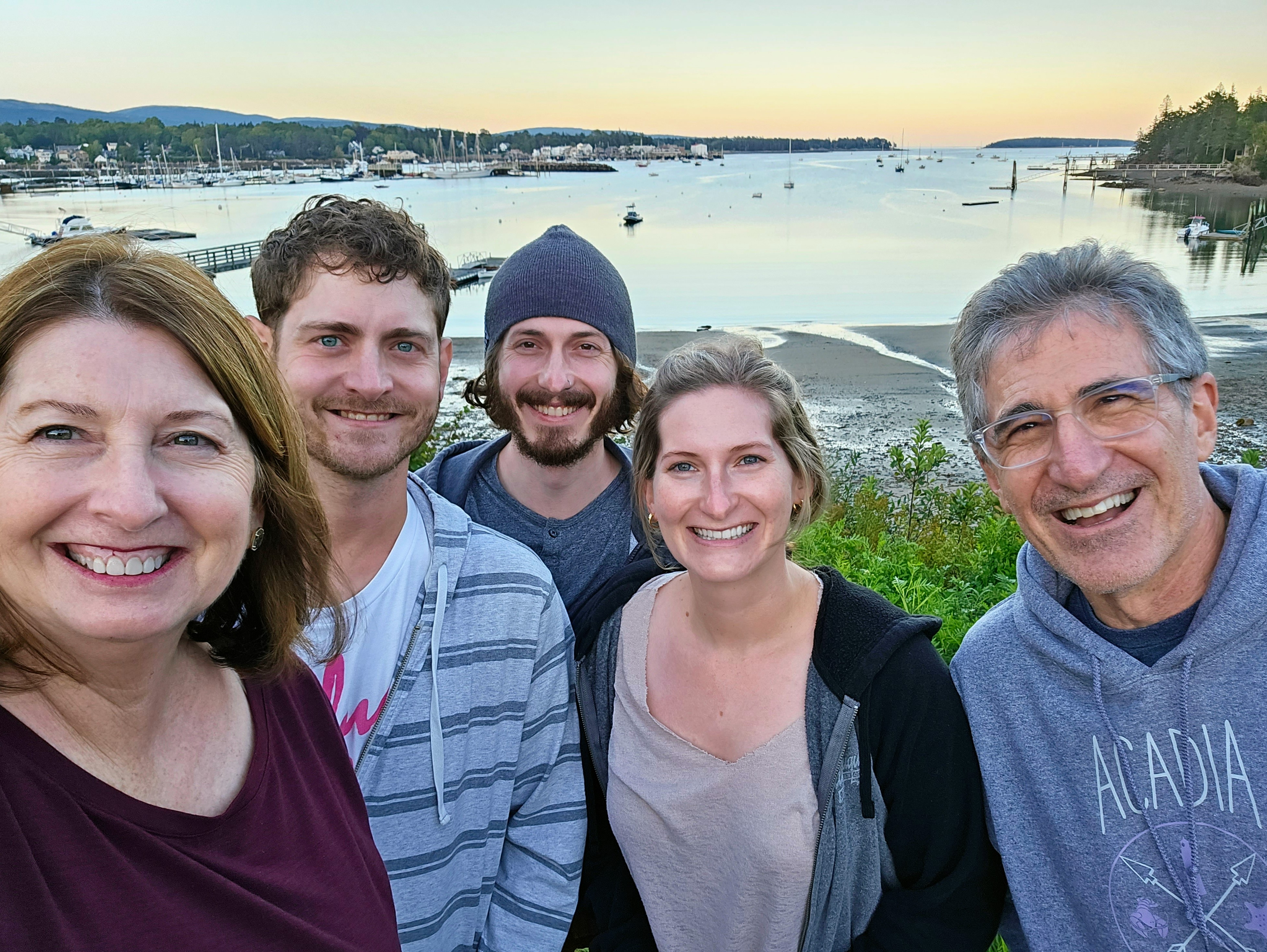
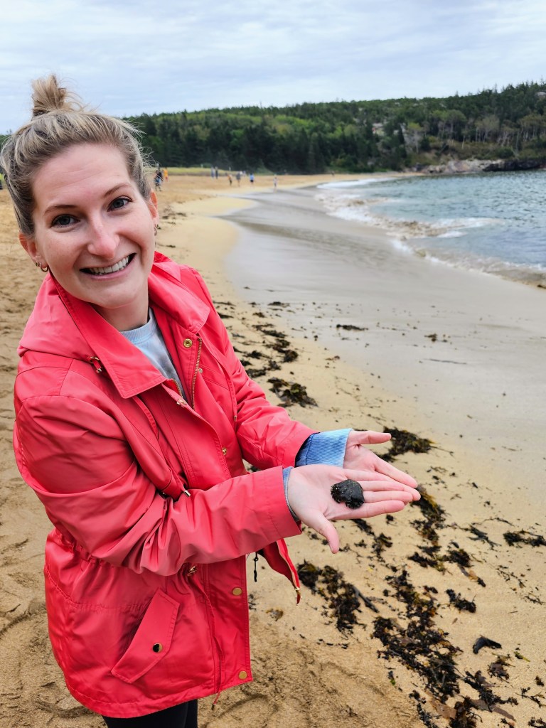
Day One – We began our day at Hulls Cove Visitor Center to grab park maps, check for any closures or storm issues, and buy T-shirts. From there, we began our drive on the Park Loop Road, a 27-mile scenic loop around the park. Most of the must-see attractions are along this loop and I highly recommend exploring by car, bicycle or on the park’s shuttle bus the first day in the park. We stopped at Schooner Head Overlook for a photo op for nice views of the ocean. Sand Beach was our next stop and was definitely a favorite. Sand Beach is a very scenic, narrow stretch of sandy beach surrounded by cliffs and tucked between two headlands. This beach is very popular for good reasons. It was absolutely beautiful! Continuing down Park Loop Road, we stopped at Thunder Hole. This is a “hole” in the granite rock shoreline where ocean waves come crashing in with a thunderous boom! There is also a paved trail, the Ocean Path, where you can stroll along the coastline from Sand Beach to Thunder Hole and on to Otter Cliff if you would rather walk than drive.

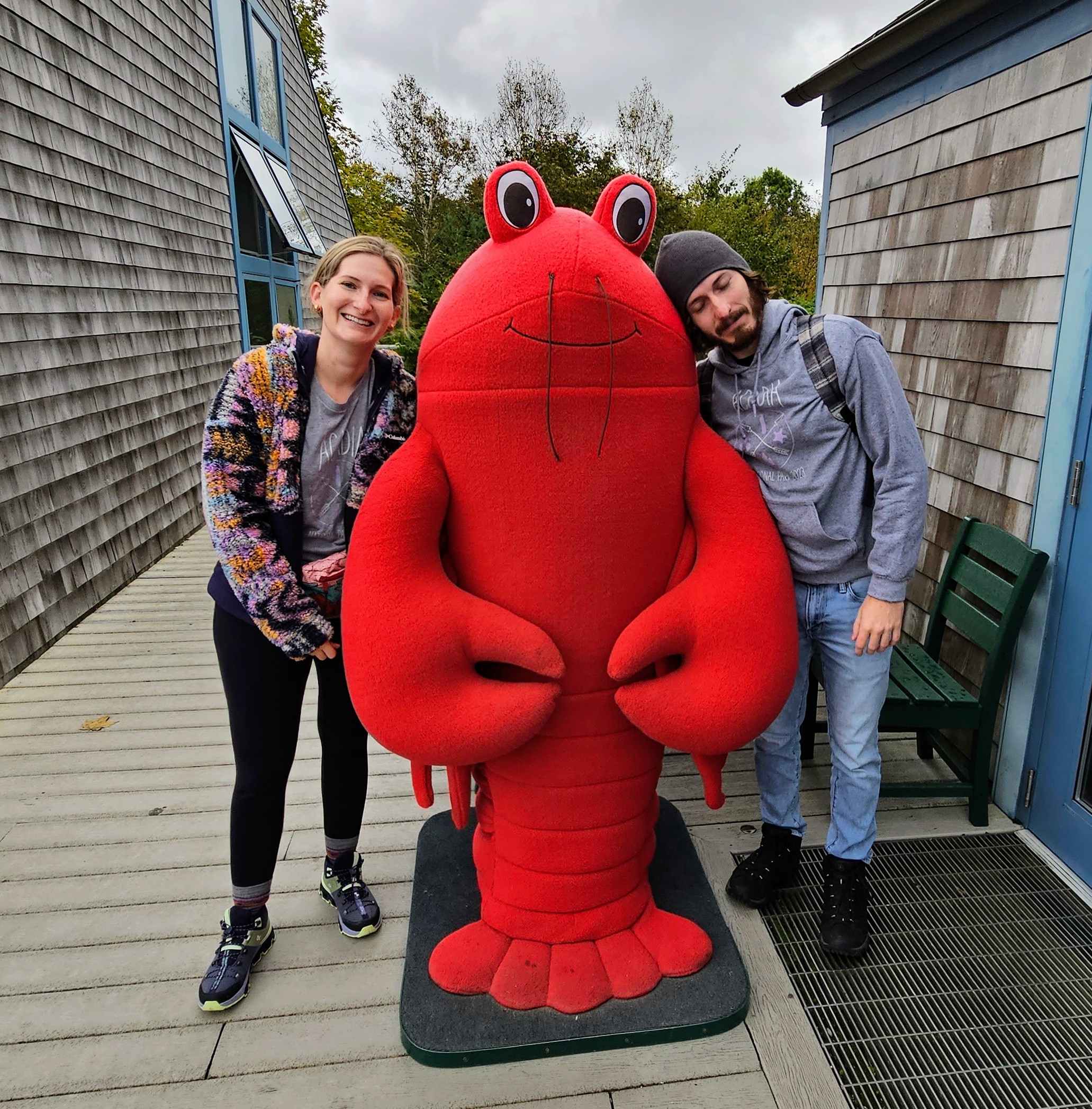
At this point in the afternoon, the weather was worsening, so we decided to head into Bar Harbor for a late lunch. After a delicious meal of lobster rolls and blueberry pie, we did a little shopping and visited the Abbe Museum. This museum (a Smithsonian affiliate) shares the history of the indigenous people of the area and was quite interesting and informative. Our afternoon spent in Bar Harbor was most enjoyable, not crowded and a perfect rainy day activity. Little did we know that cruise ships were not docking due to the hurricane. That quickly changed a couple of days later when Bar Harbor was overrun with thousands of tourists! Yikes!!

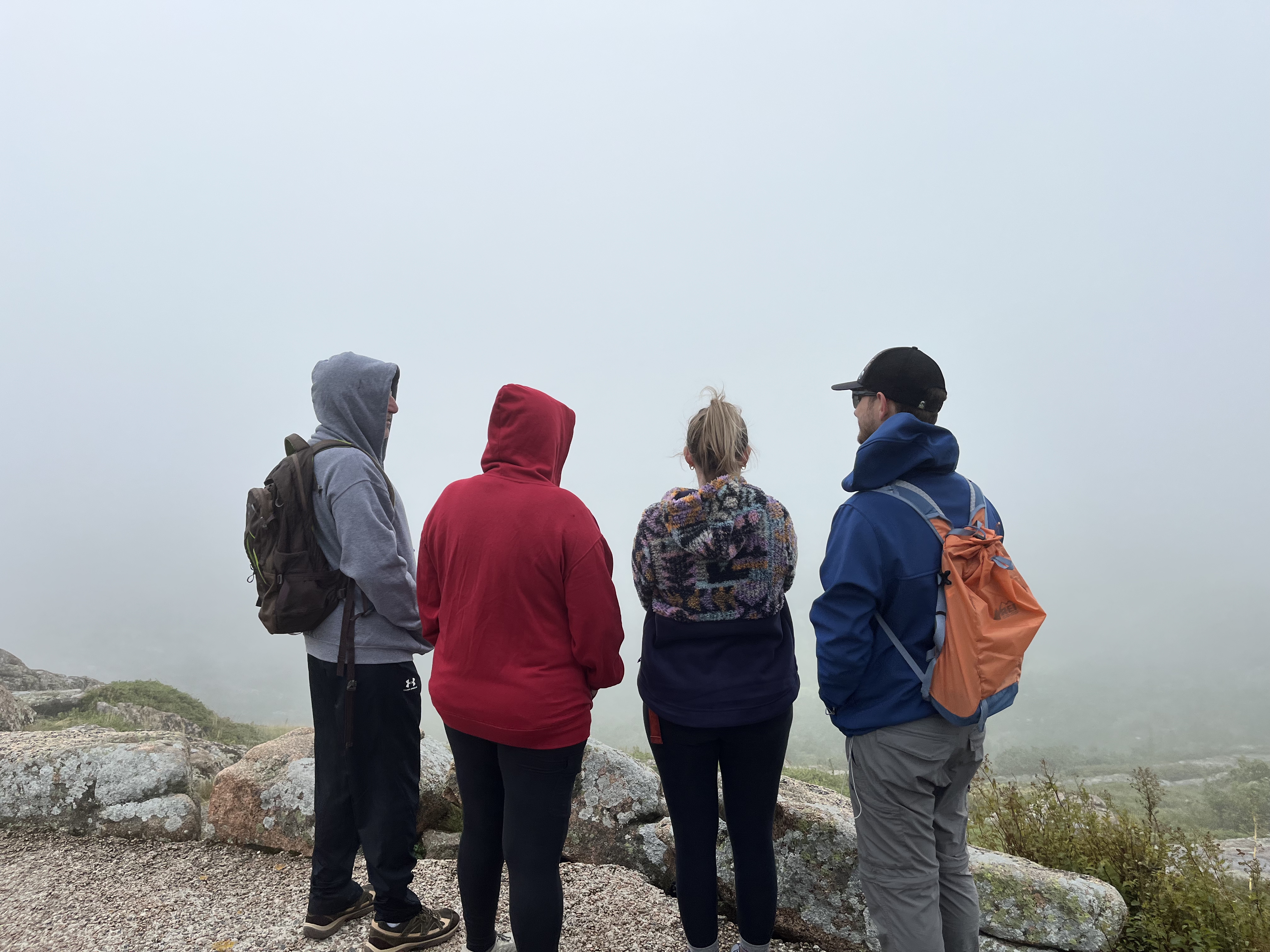
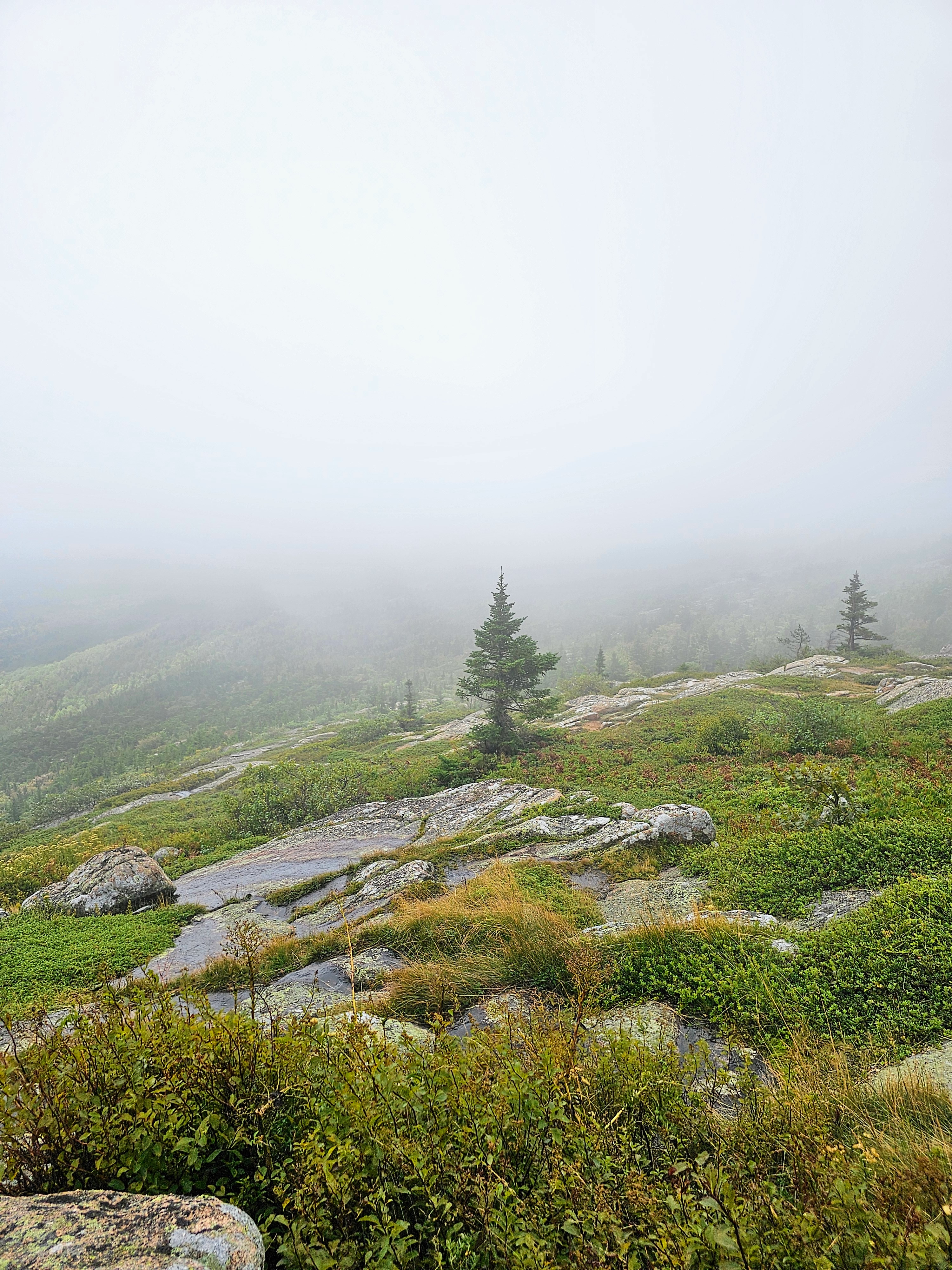
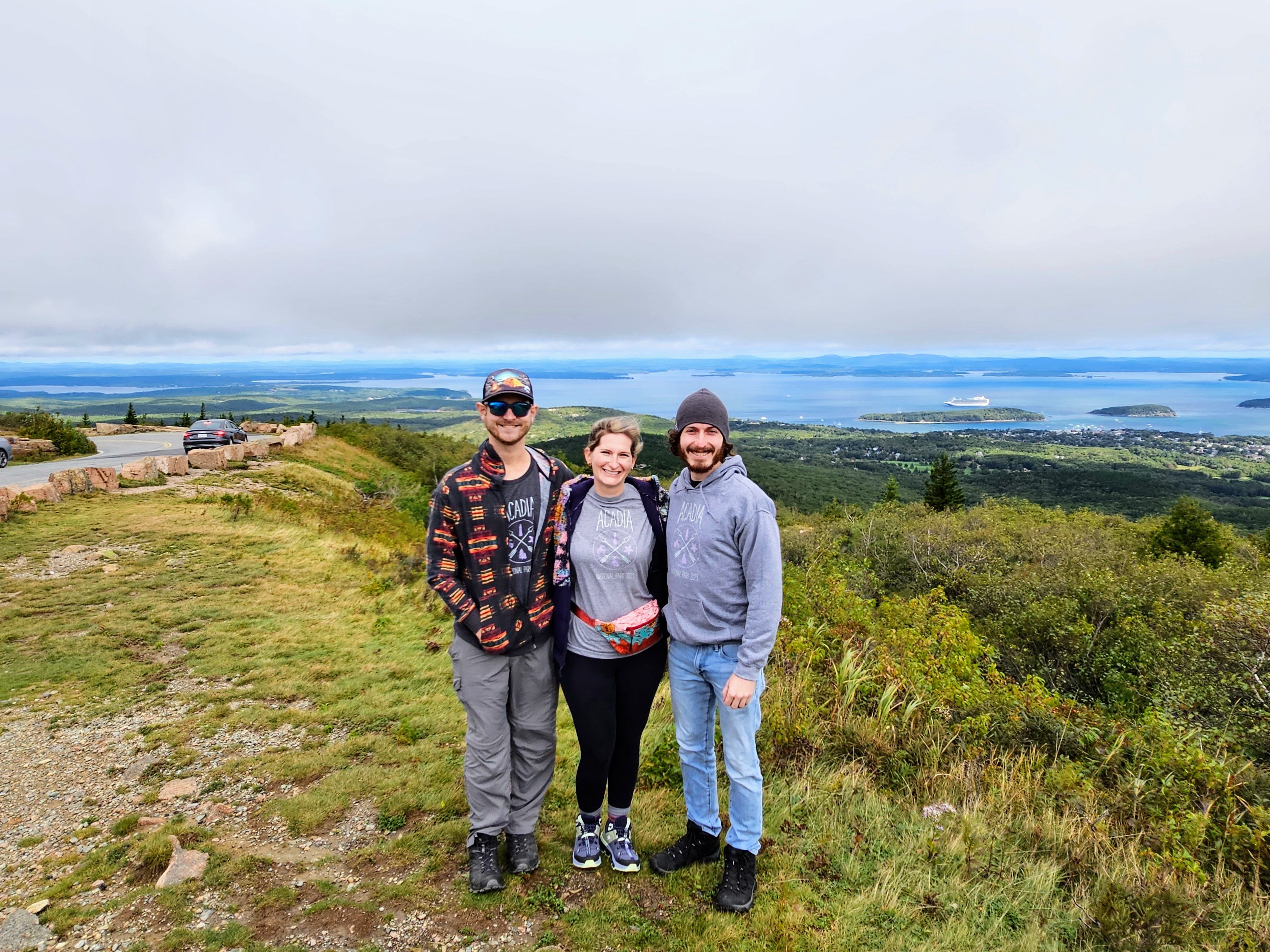
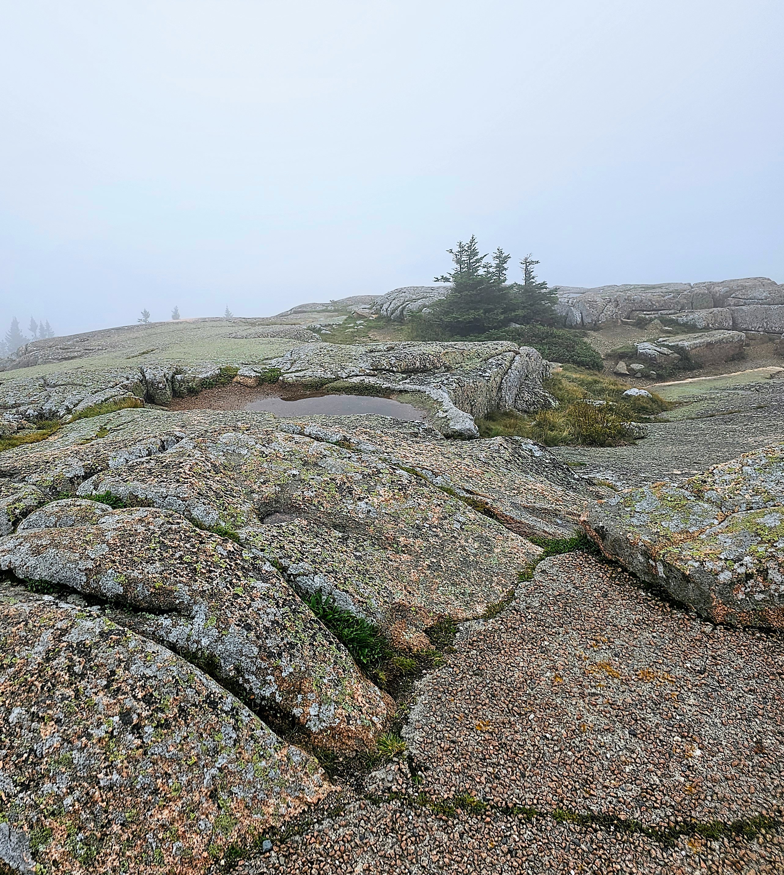
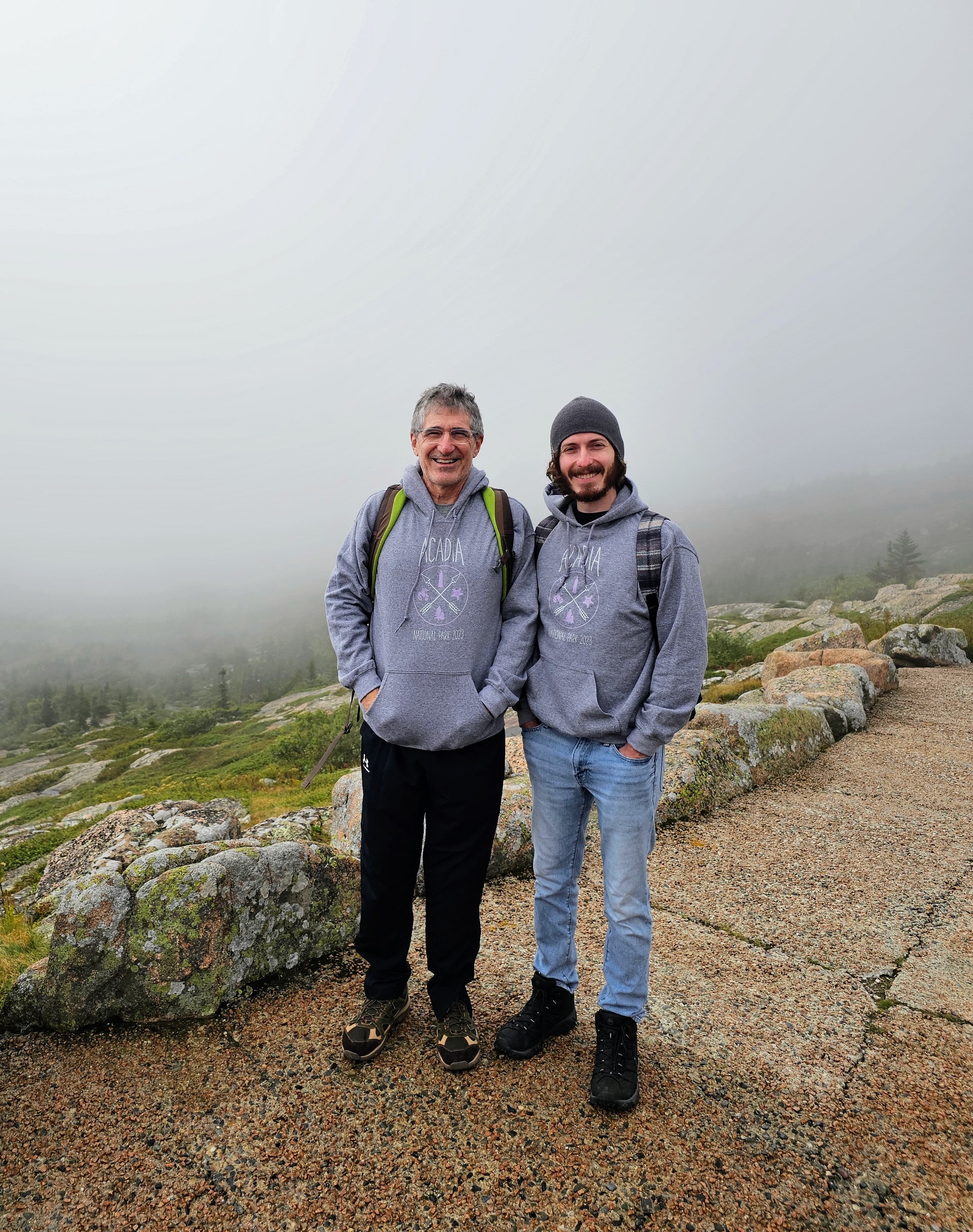
Day Two – We had purchased a $6 pass for our timed entry to drive up to the summit of Cadillac Mountain, one of the most well-known sights in Acadia. Standing at 1530 feet tall, Cadillac Mountain is the highest point along the North Atlantic Seaboard and is the first place to view sunrise in the U.S. One may choose to do the 7.7 mile challenging hike to the summit or drive the 3.5 mile road like we did. On this particular day after the rain had moved out, the view from the summit was cloudy and foggy with limited visibility. Honestly, it was quite beautiful and made the landscape appear ethereal. We didn’t get the famous panoramic views we had expected. Instead, we strolled the misty trails and enjoyed the sparse crowds, ample parking, and total peace and quiet.
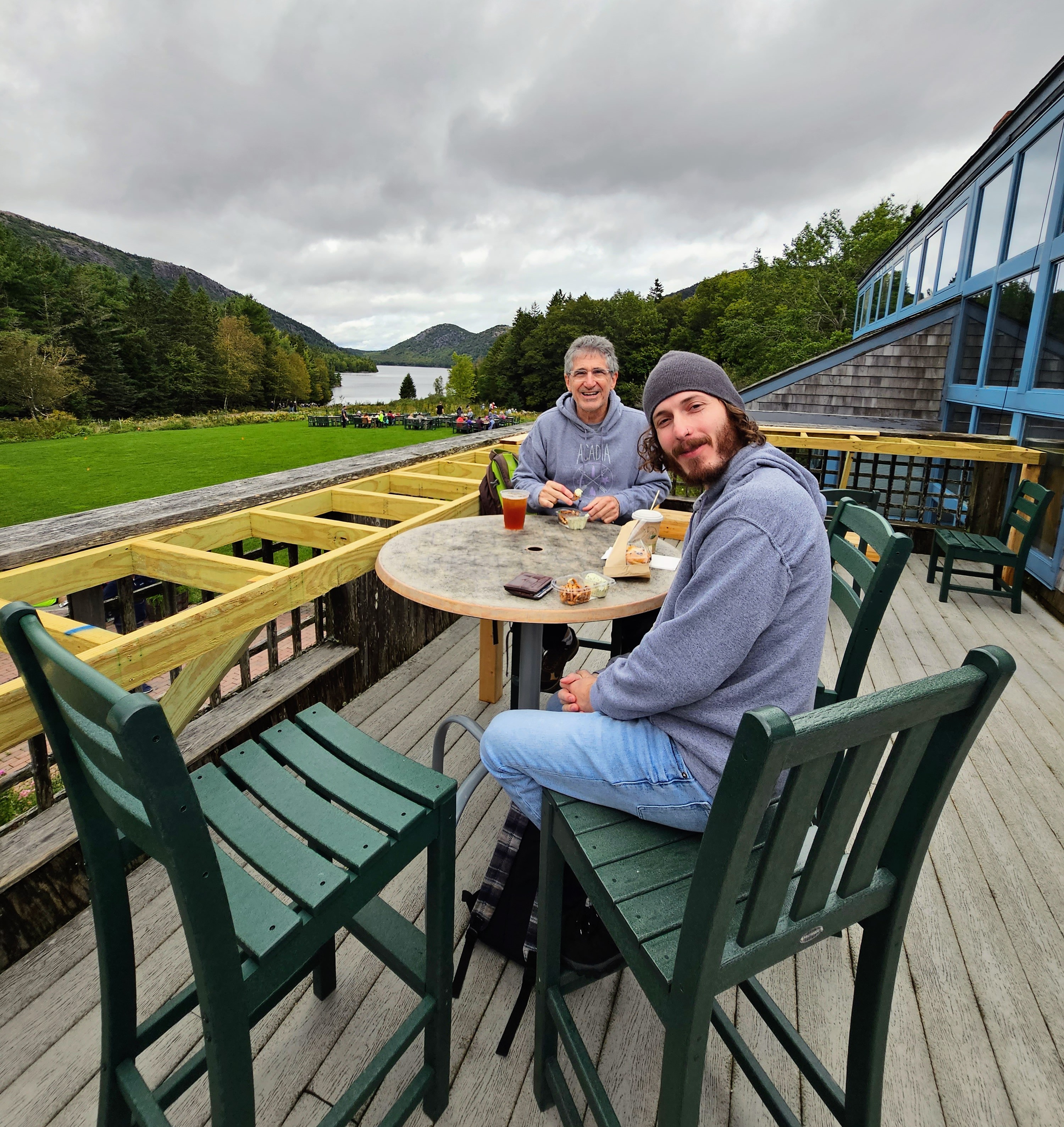
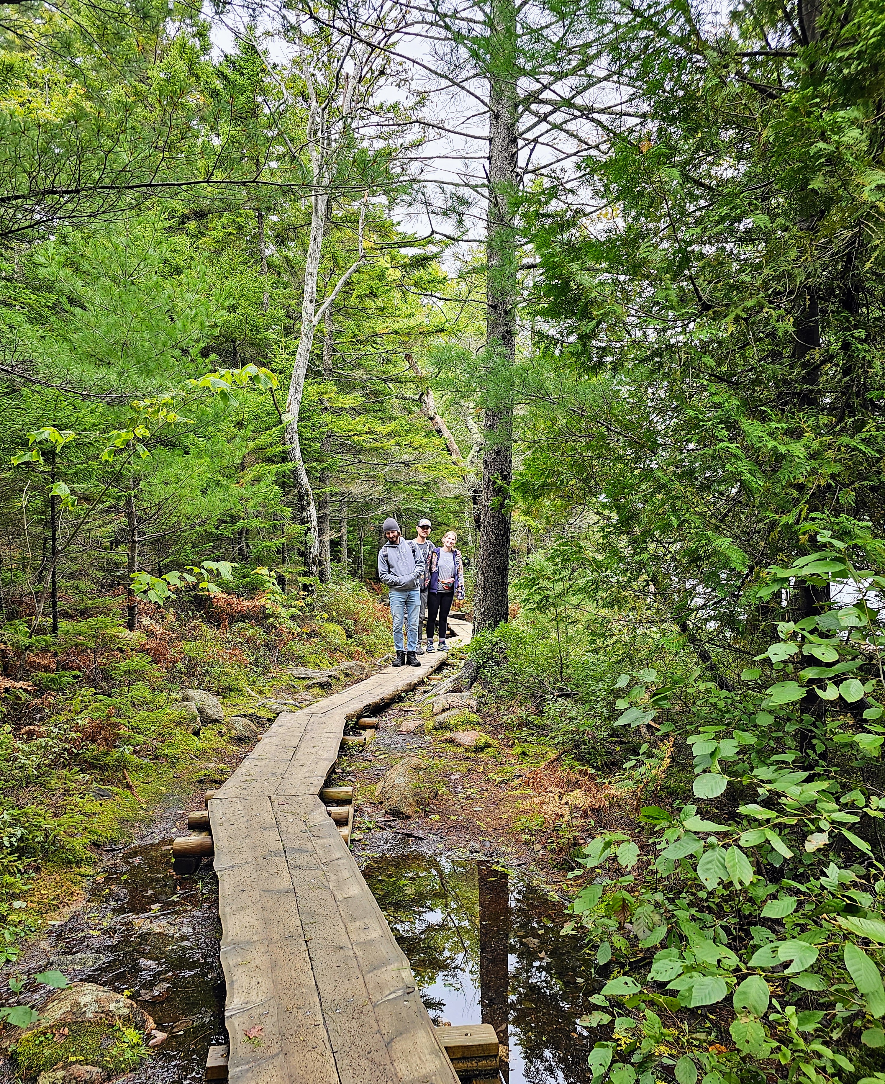
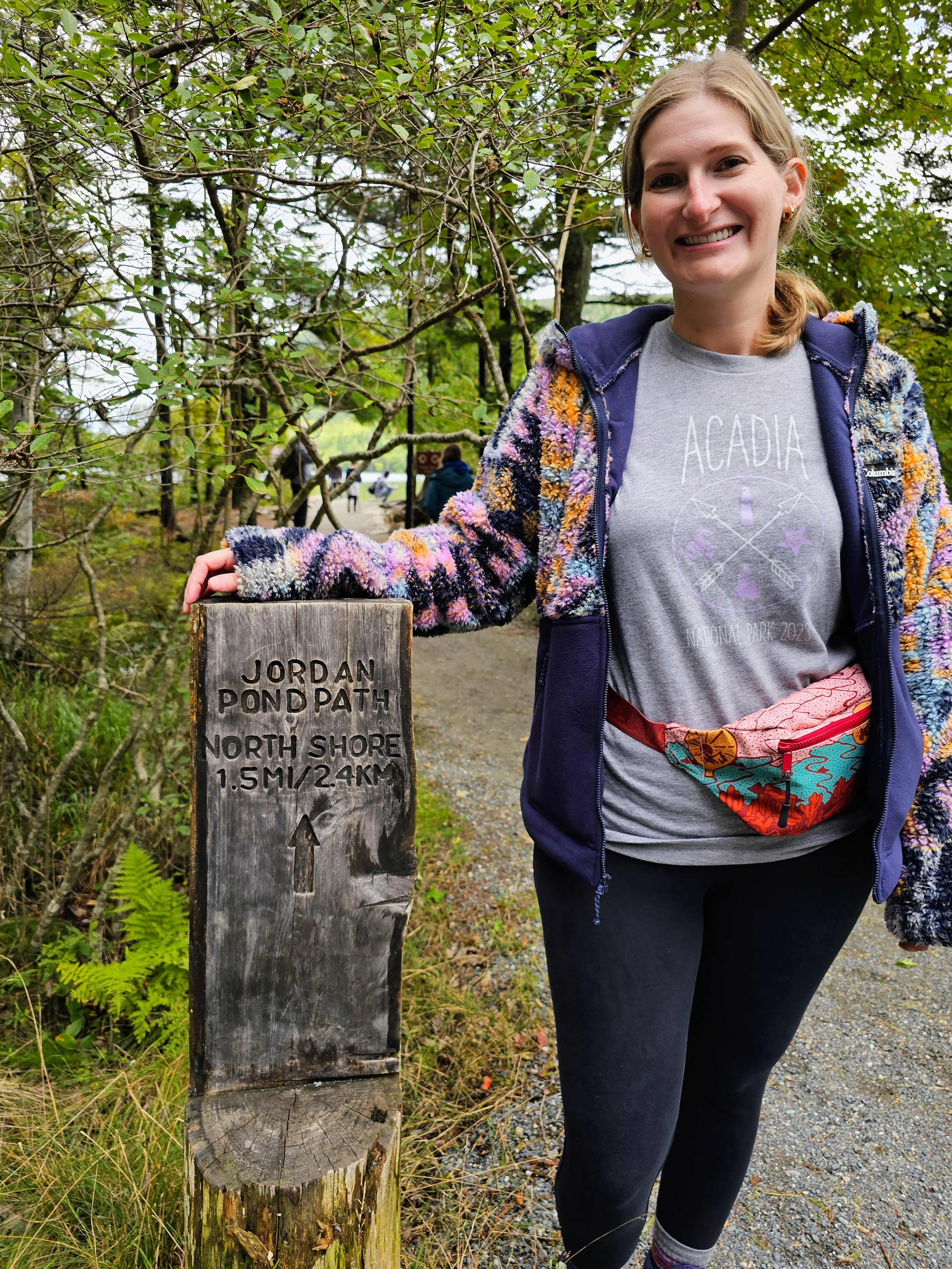
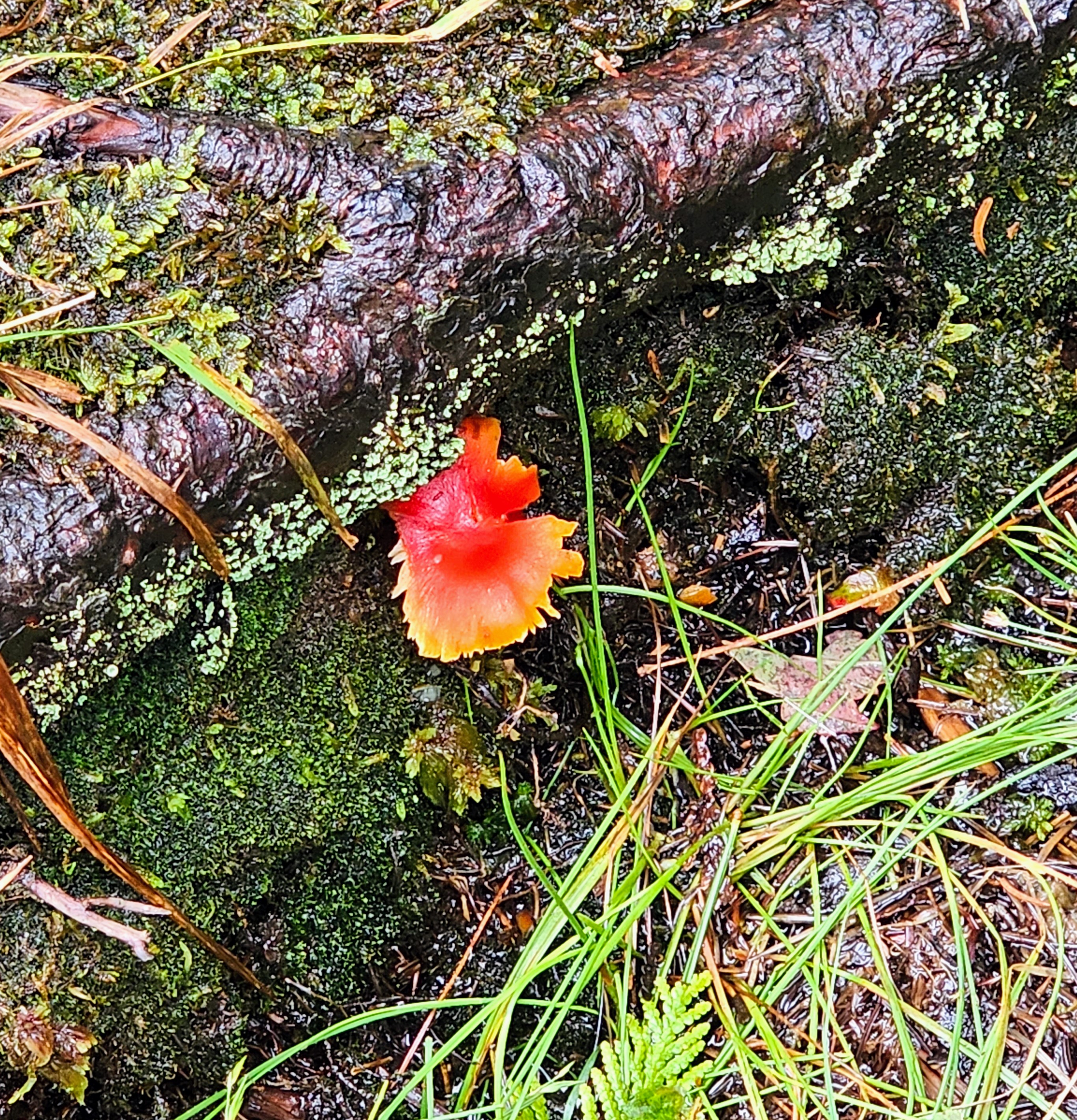
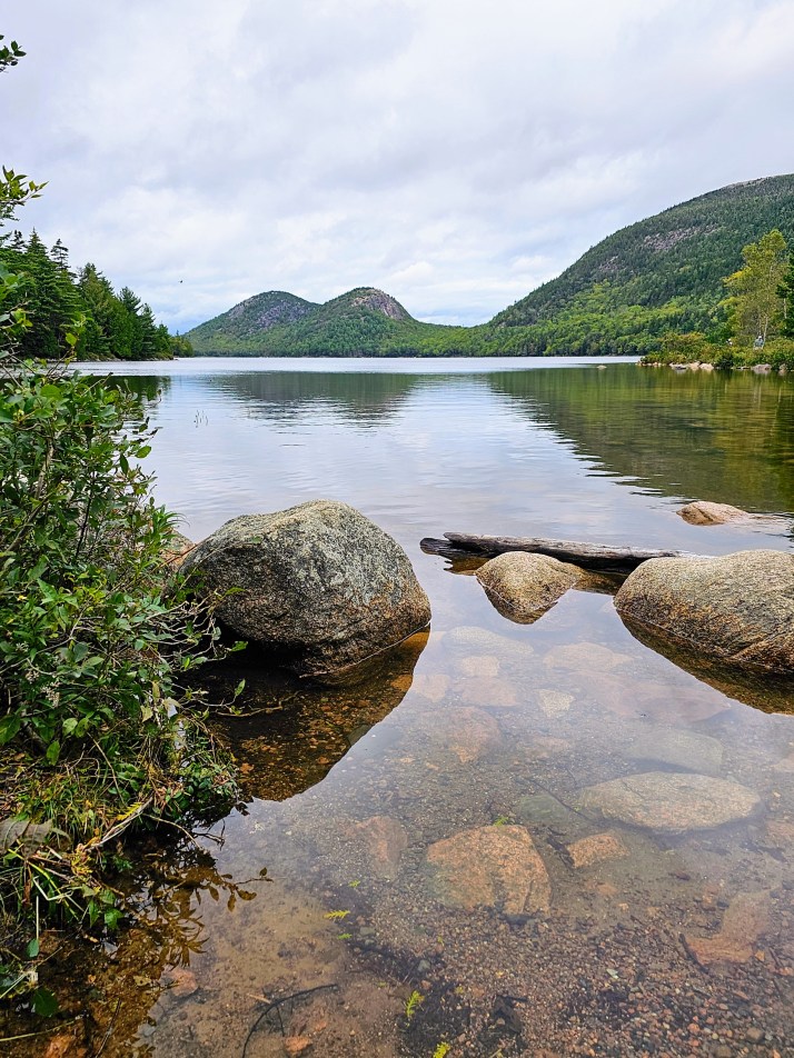
As we drove down from Cadillac Mountain, the weather began to clear at the lower altitude. Our next stop was just a few miles away, the Jordan Pond House. Parking was tough here due to the popularity, but our patience paid off. I had not been able to get dining reservations at the famous Jordan Pond House Restaurant (I tried!) since they book months in advance, but we popped into Jordan Pond’s “carry out” cafe and enjoyed snacks and drinks on an upper deck overlooking the pond. We then headed to the Jordan Pond Path, stopping off to take the iconic photo seen in every Acadia National Park ad – Jordan Pond, rocks in the foreground, North Bubble and South Bubble (twin mountains) in the background. This trail was one of my favorites. The path follows the shoreline of Jordan Pond, has little vertical gain, and is mostly a raised, two-plank boardwalk. Lush forests, ferns, shore birds, colorful mushrooms and twisty tree roots kept our interest along the entire hike. The weather was really nice by the time we completed our hike so we were ready for more adventures!

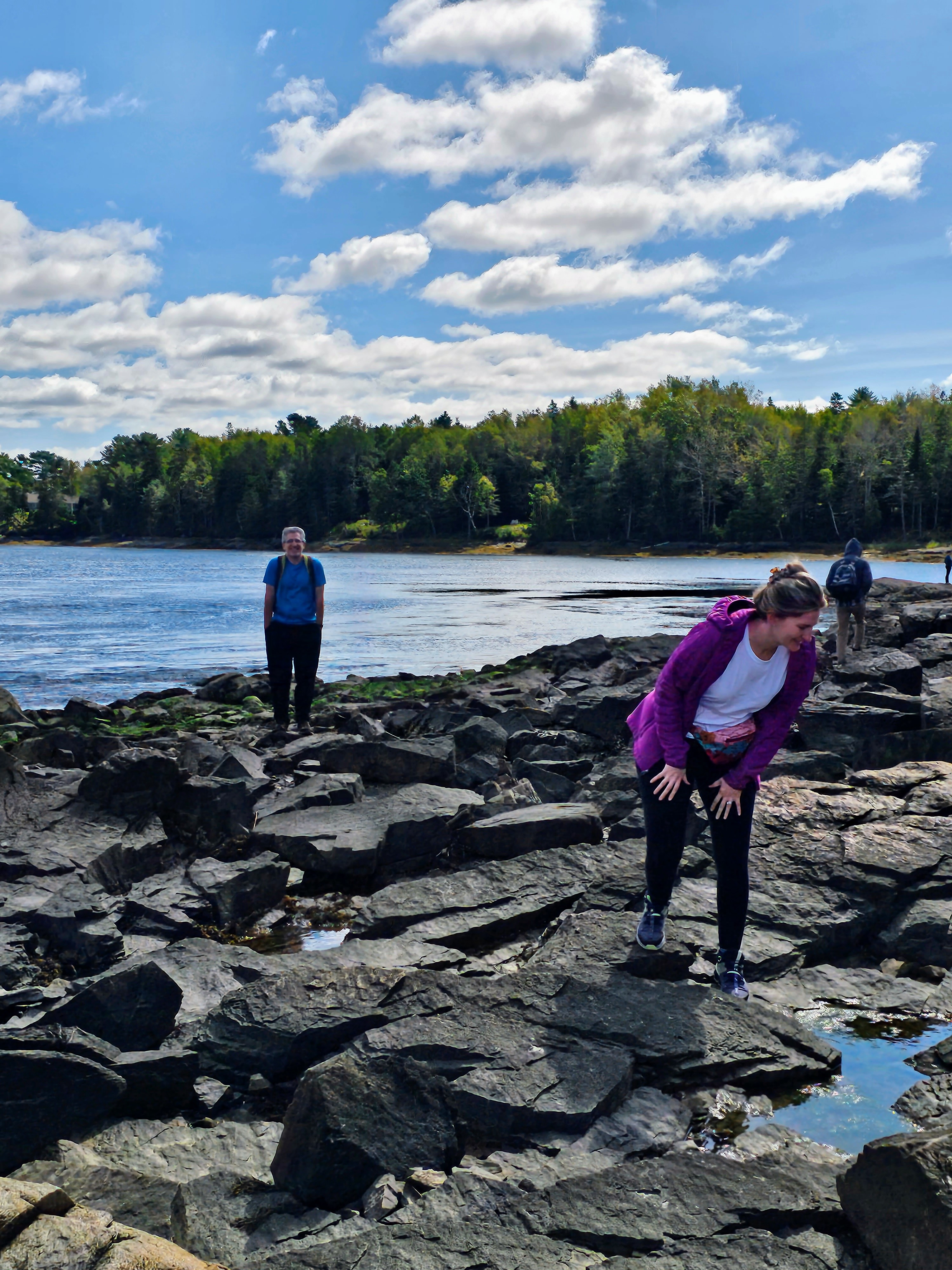
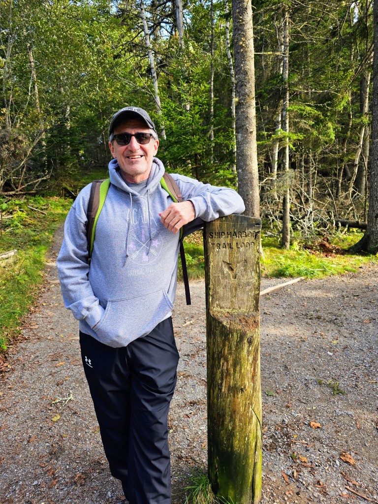
After a wonderful dockside lunch in Northeast Harbor, we headed back to Southwest Harbor. The kids went off on one of the more difficult hikes in our area and my husband and I drove to the Ship Harbor Trail. This was a lovely forested trail that treks to the rocky coast. The 2-mile trail tested my ability (3 months post-knee replacement) with rock scrambling, tree root scrambling, jumping over rocky crevices, traversing deep mud puddles and avoiding slippery granite boulders. Luckily, I lived to tell the tale! We finished the hike and met up with the young ones at Seawall, which was nearby. We did some rock and shell hunting on the shore and headed back to the rental, What a wonderful day it had been. I had hiked almost 7 miles with my new titanium knee! It was an exhausting day – but well-worth the experience.
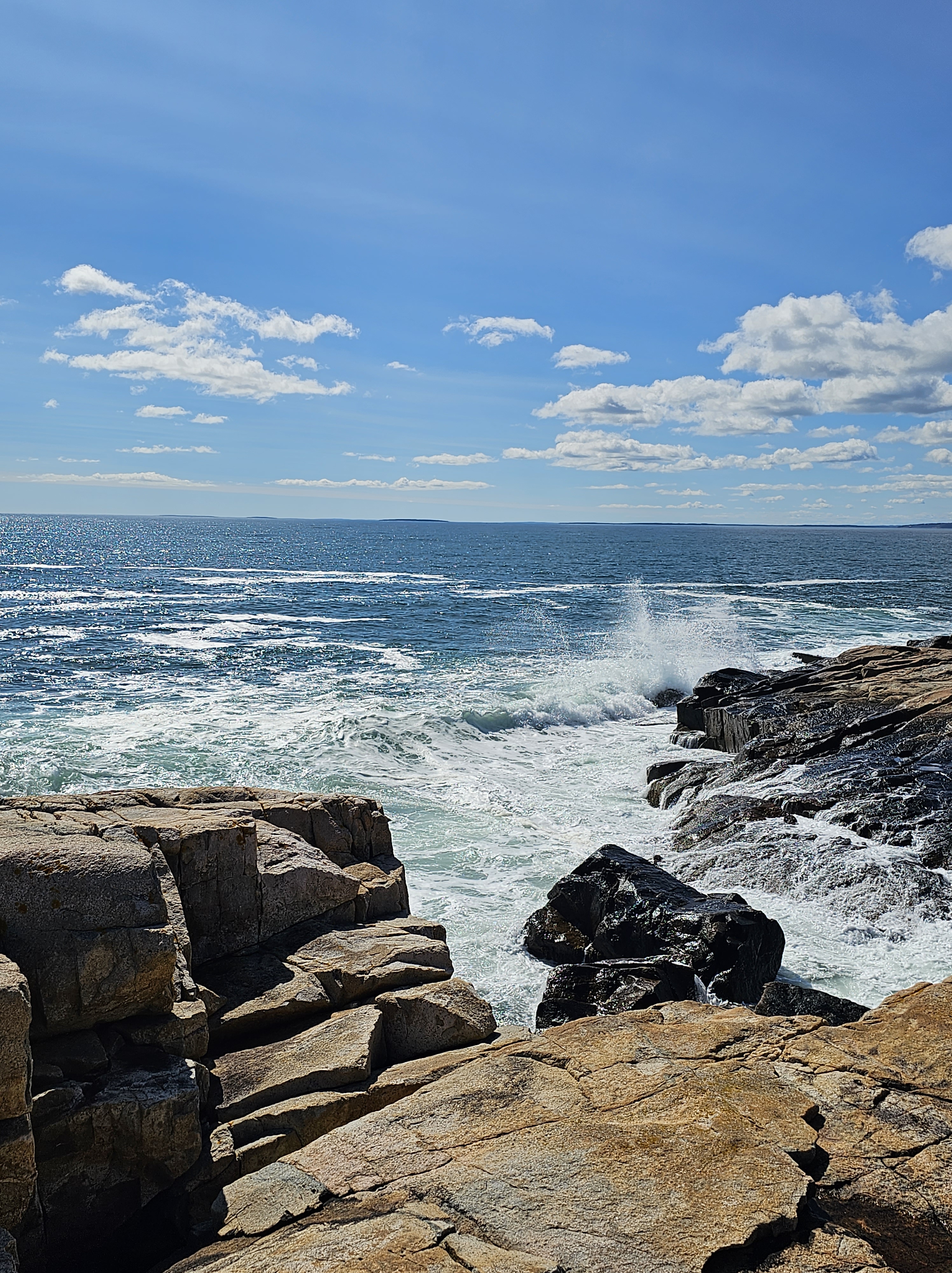
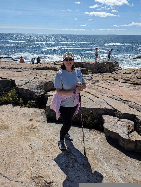
Day Three – This day might have been our family’s favorite day, although each and every day in Acadia was pretty dang great. We got up, ate breakfast and drove northeast towards the Schoodic Peninsula. Our first stop was the Tidal Falls Preserve in Hancock, Maine where (prior to the hurricane) tidal pools were full of colorful sea stars, starfish and crabs during low tide. We only found a few lavender-colored mussels and sea snails before watching a poor crab get disassembled on a rock for a seagull’s snack. We were disappointed not to find much else in the tide pools and went on our merry way. We stopped in a little town on the way for lunch and then drove the Schoodic Loop Road. This area of the park was far less crowded than Bar Harbor and had hiking trails, cobblestone beaches, spectacular rocky coasts, meadows full of wildflowers, and dense forests and hills. The name is a Native American word meaning “the end”. When you stand there on high granite cliffs with crashing waves far below and nothing but ocean ahead, you understand the name. It was breathtakingly beautiful and photos don’t do it justice.

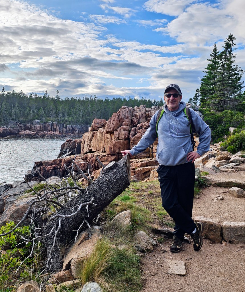
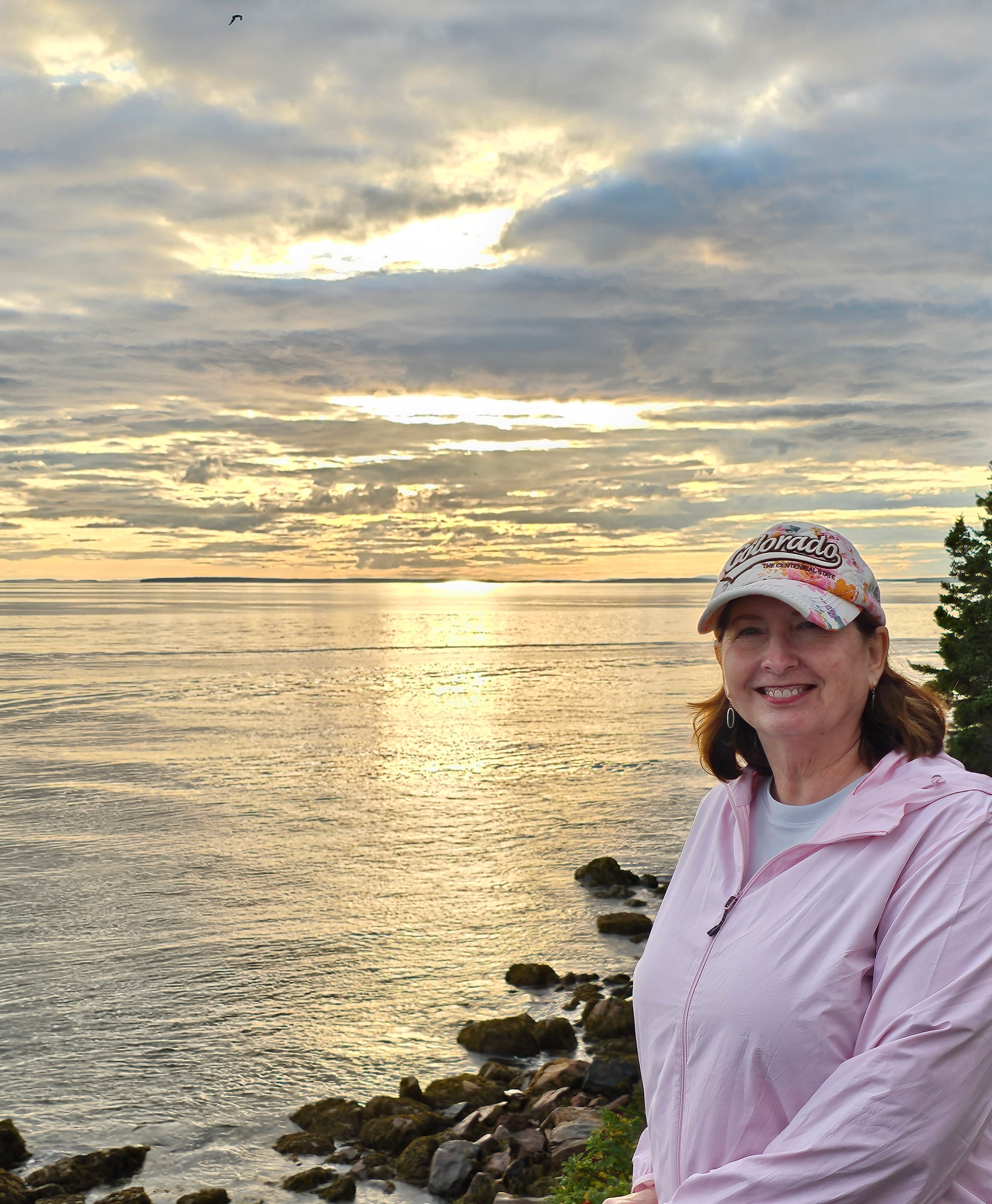
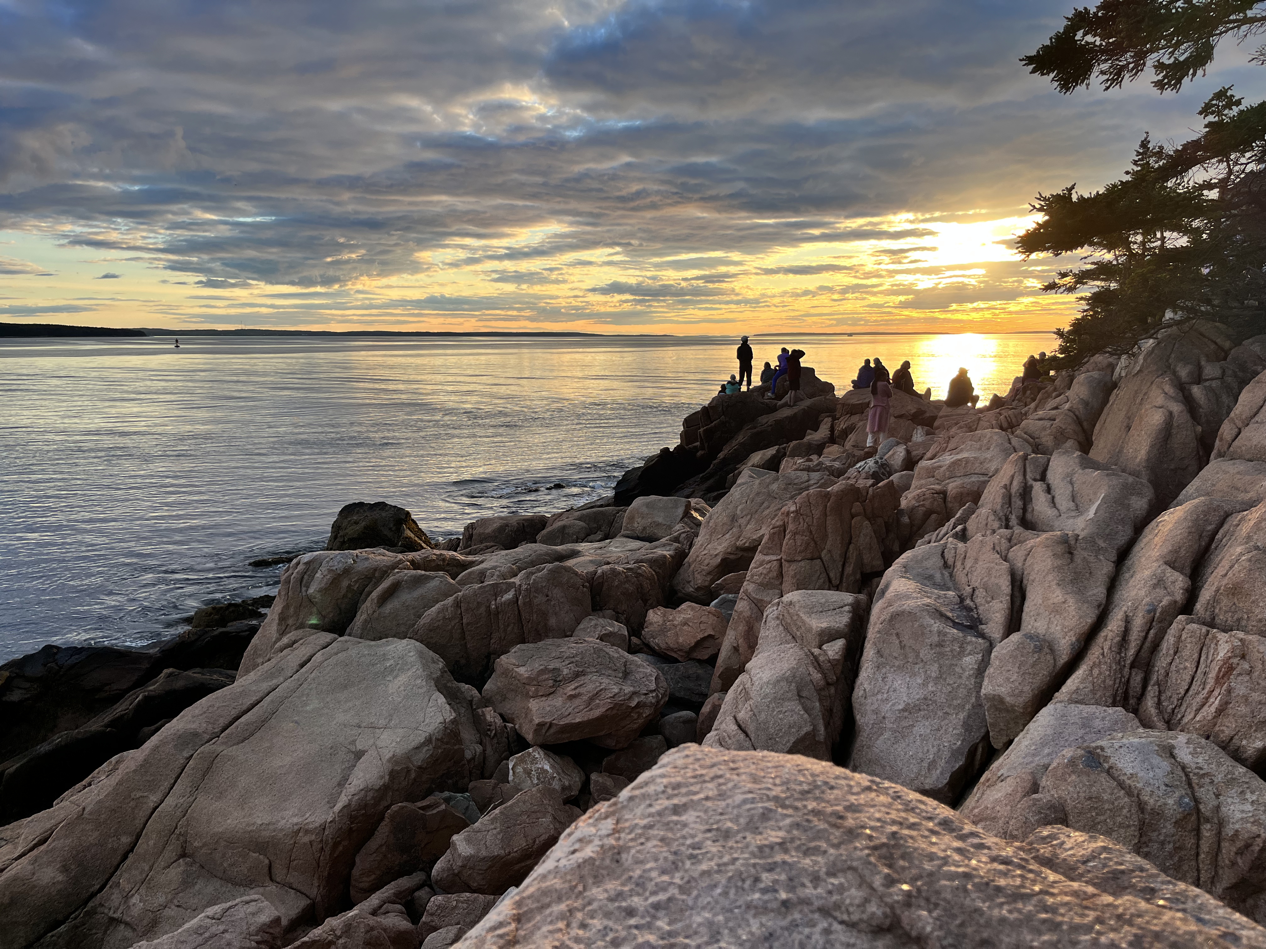
After an afternoon spent relaxing on the rocky shoreline and exploring a couple of beaches, we headed back to Southwest Harbor. After a brief stop at our rental for refreshments, we drove to the Bass Harbor Lighthouse to check it out and get a sunset view photo op. We hiked the short trail and descended a set of stairs before scrambling across granite boulders for the best view. This lighthouse was built in 1858 and is actually more visible from sea than from land. We were lucky enough to see a majestic sunset and got some great pics before heading back to our little home away from home.

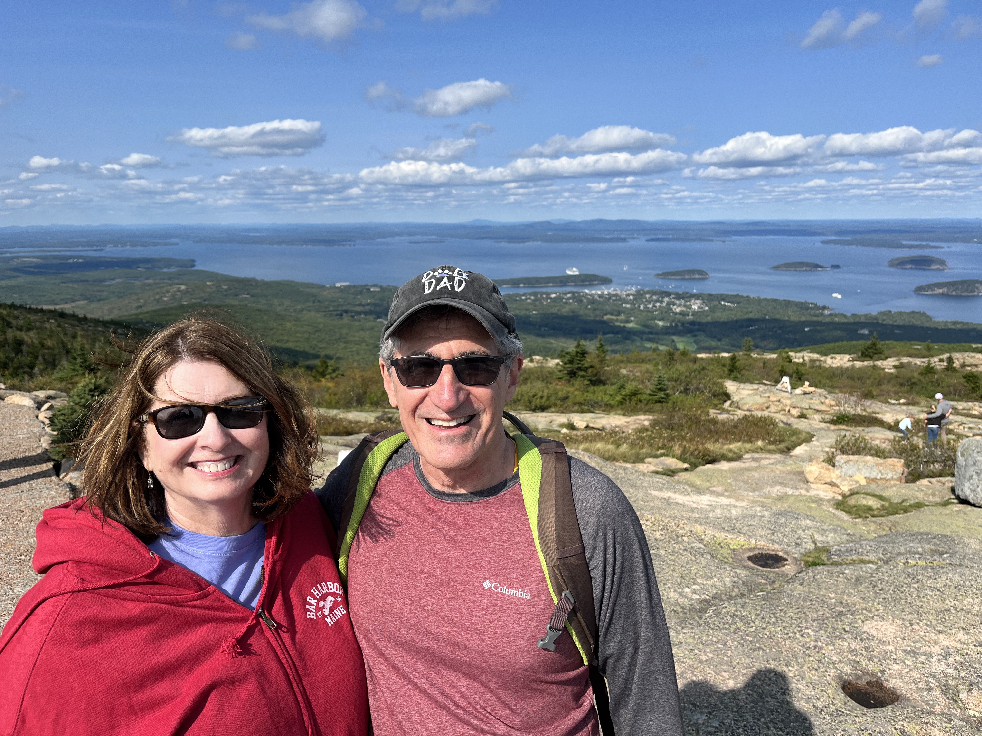
Day Four – This was our final day before travel. I always save this last day for things that we want to redo or things we didn’t get to do for whatever reason. Our Cadillac Mountain Summit view didn’t turn out we way we planned so I had purchased another entry ticket “just in case.” This particular morning was crisp, clear and sunny. We took in the panoramic views that we had expected, but weren’t afforded, on our first visit. The views of Bar Harbor, the Porcupine Islands, the Cranberry Islands, Eagle Lake and all the hills and valleys were amazing. We easily spotted several cruise ships docked in Bar Harbor far below, so it was no surprise where all the people had come from. The entire summit and parking lots were extremely crowded! There is a lot to be said for rainy, cloudy days.
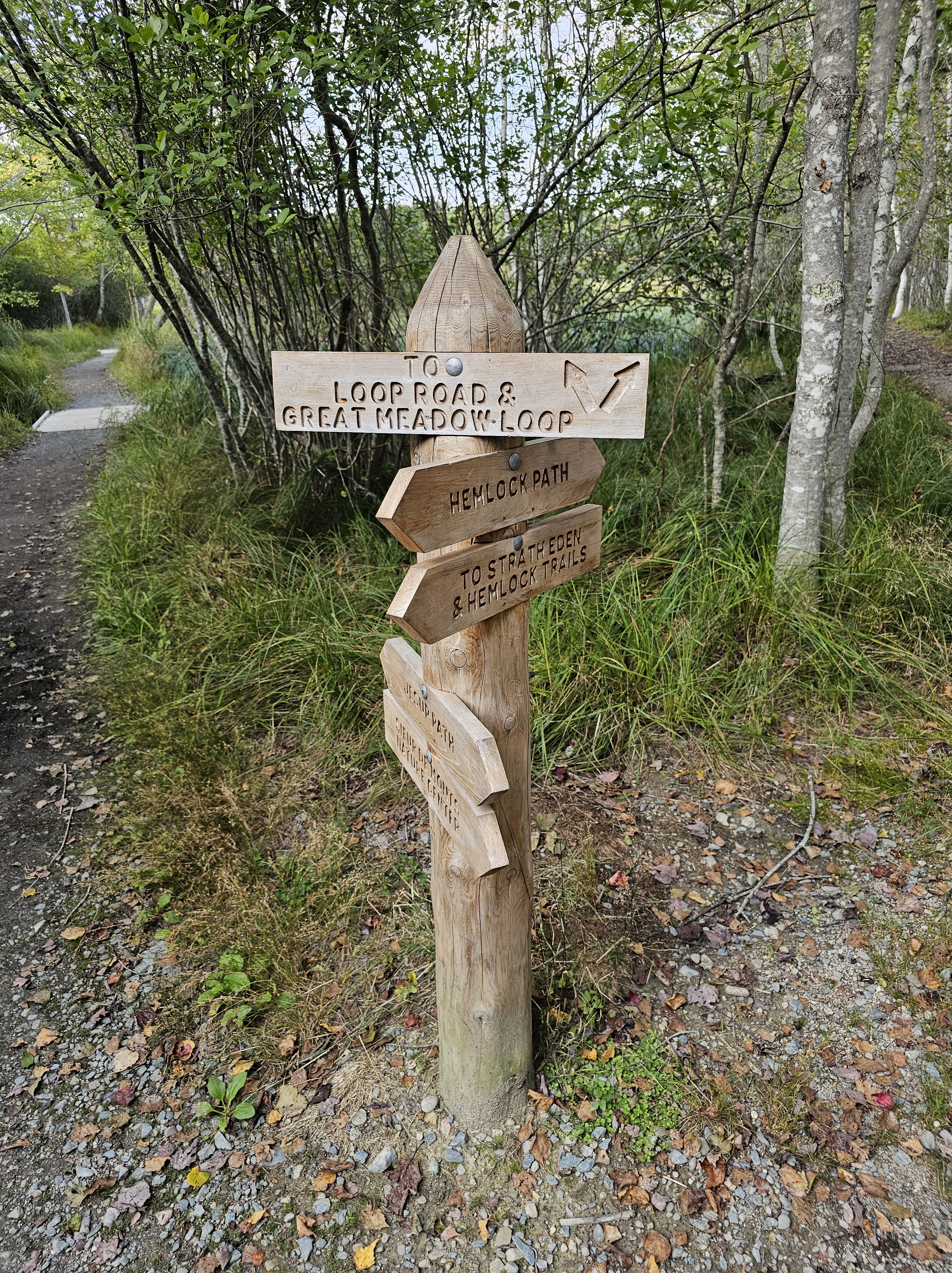
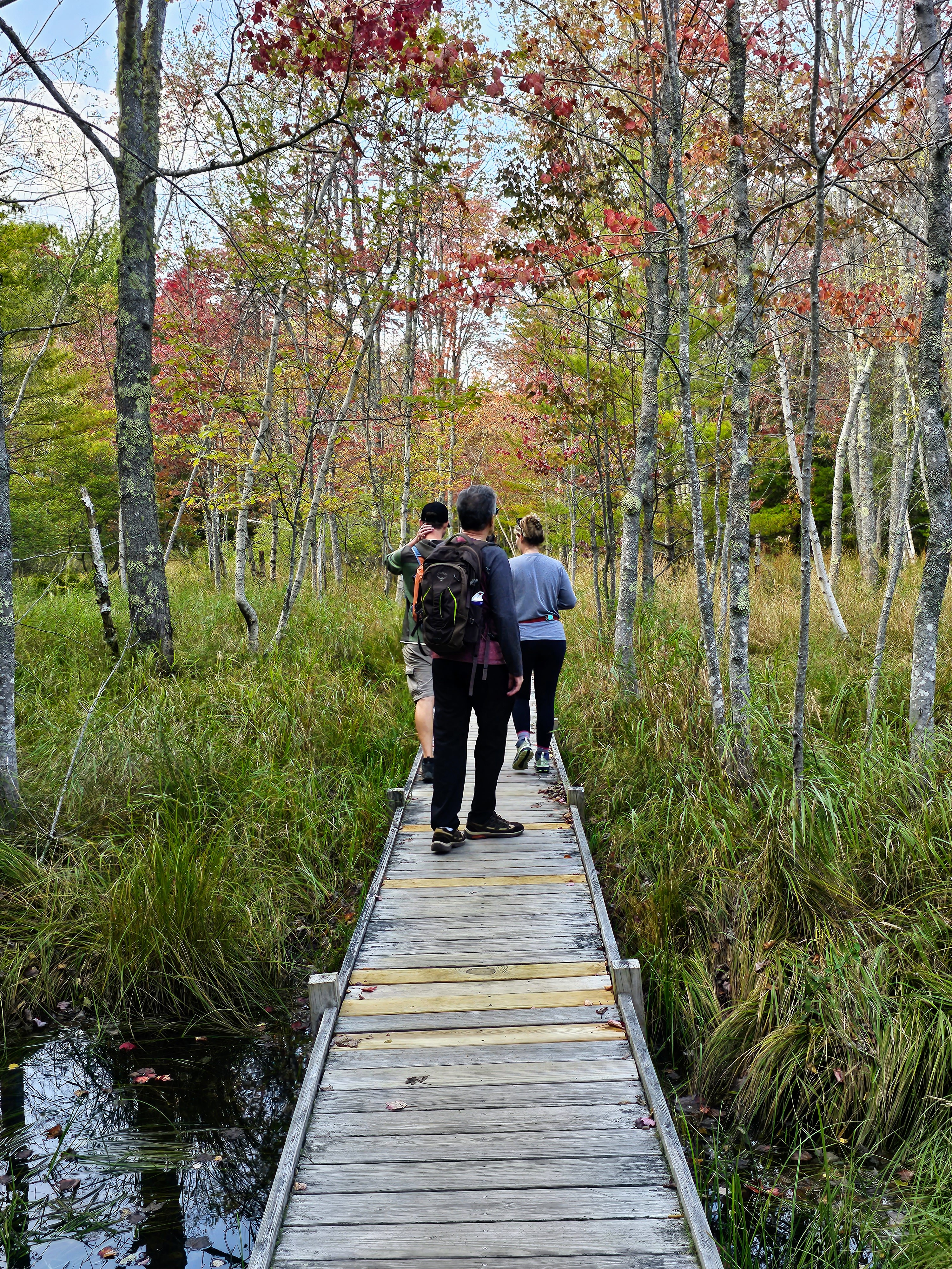
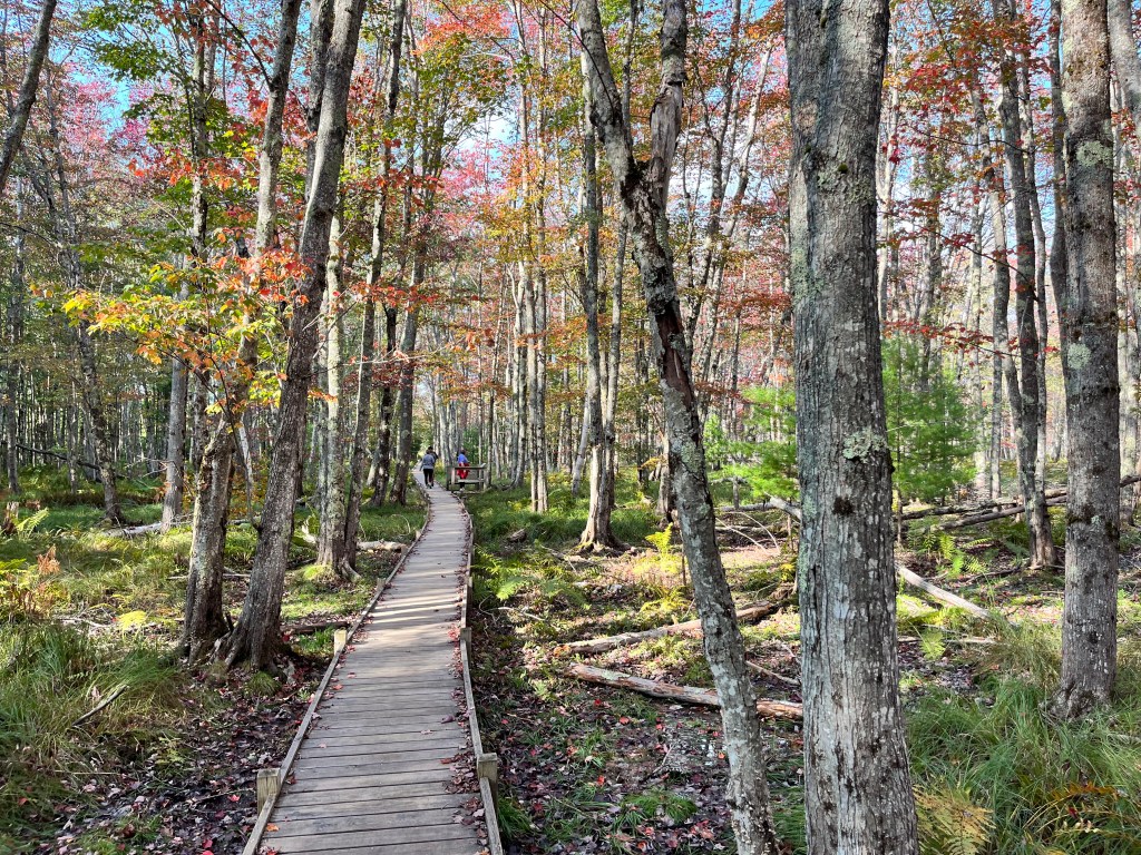
From Cadillac Mountain, we drove to Otter Cliffs along the Park Loop Road and continued where we left off the first day, due to inclement weather. This area has a very dramatic landscape with rugged, steep cliffs and strong ocean surf. We drove the loop, stopped at a little hidden cobblestone beach, then headed to the “meadow” area of the park. We met our kids (after they had completed another treacherous hike that the old people couldn’t/wouldn’t do!) and began our hike on the Jesup Path and looped back on the Hemlock Path. The meadows, wildflowers and trees along these paths made for quite a scenic hike. It was very peaceful and we only saw one other couple on these trails. Loved it! The Jesup Path was mostly a wide, wooden trail (above ground level) through beautiful trees and marshy areas. Many of the tree leaves were beginning to turn their bright fall colors of red, orange and yellow. We intersected with the Hemlock Path after a while, which was more of a forested trail with large trees, boulders and small waterfalls. This was a leisurely afternoon stroll and the perfect way to wrap up a four-day trip in Acadia.

We packed four full days with activities and still didn’t see/do many of the park highlights and tourist faves. There are 158 miles of trails within the park’s boundaries – making hiking the most popular activity. There were many trails that we just didn’t have the time (or guts) to do! Most of the more adventurous trails that our kids hiked involved climbing up/over iron rungs, metal ladders, granite staircases, boulders, exposed cliffs, and steep rock walls. No thank you!
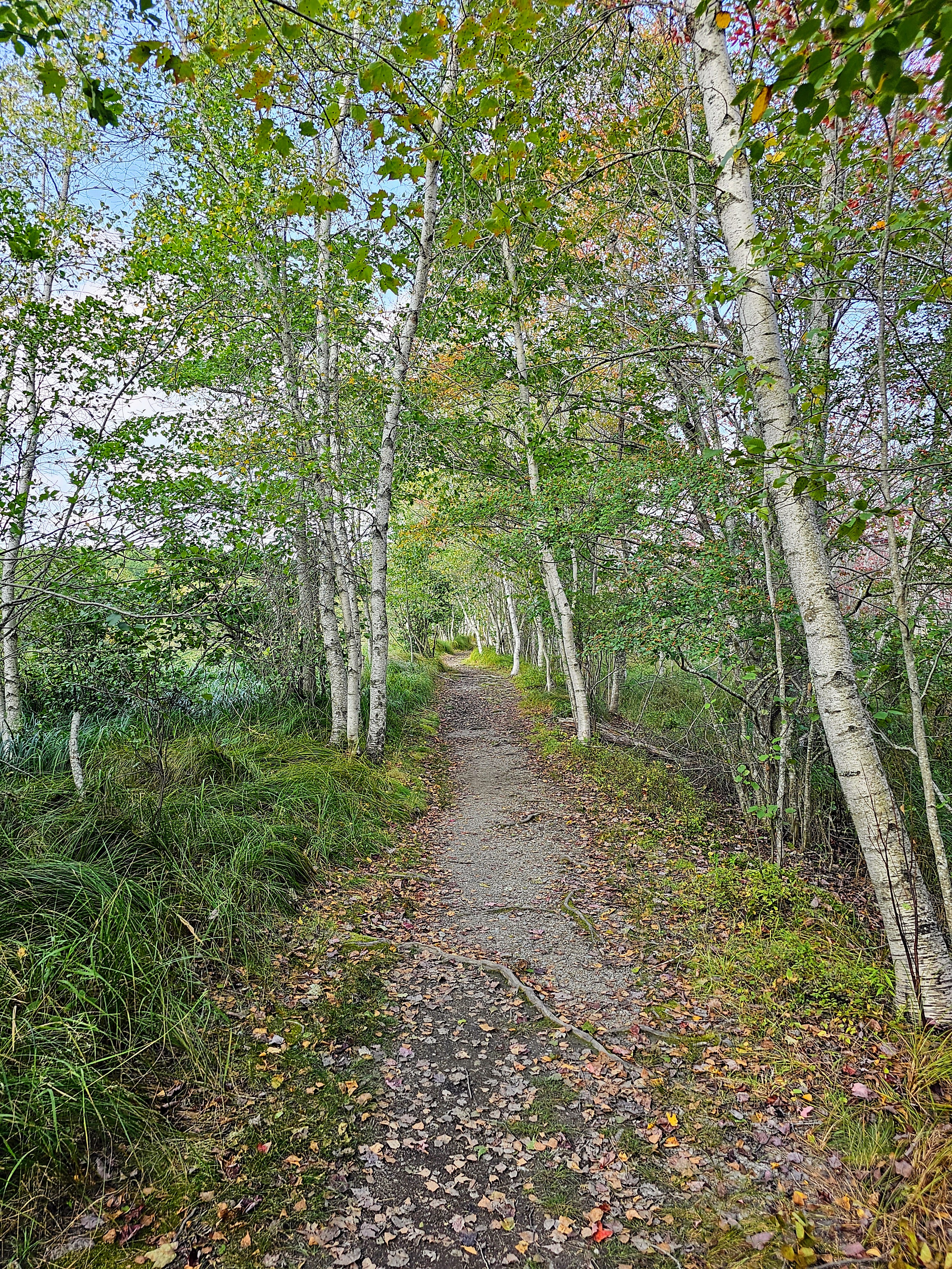
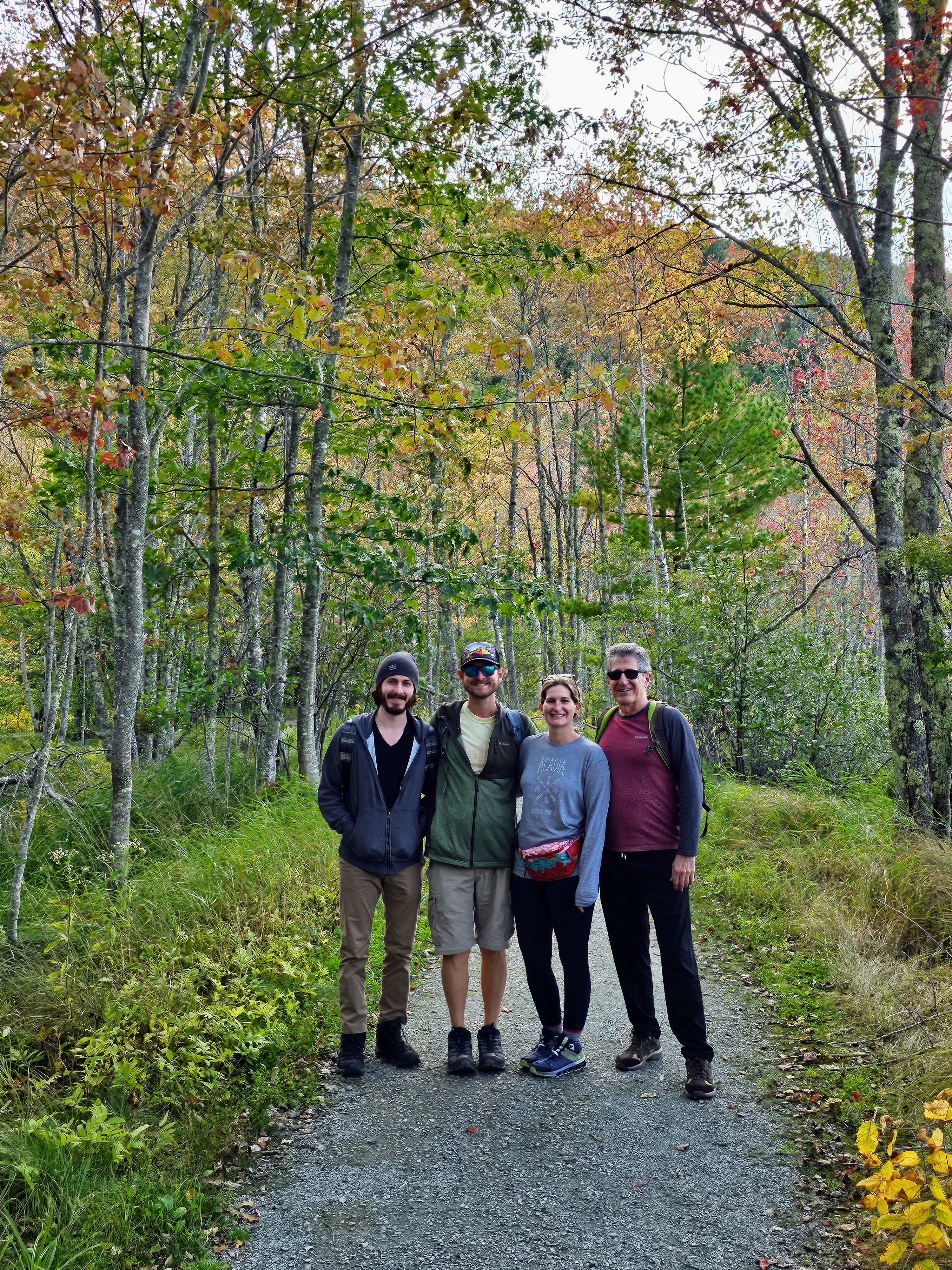
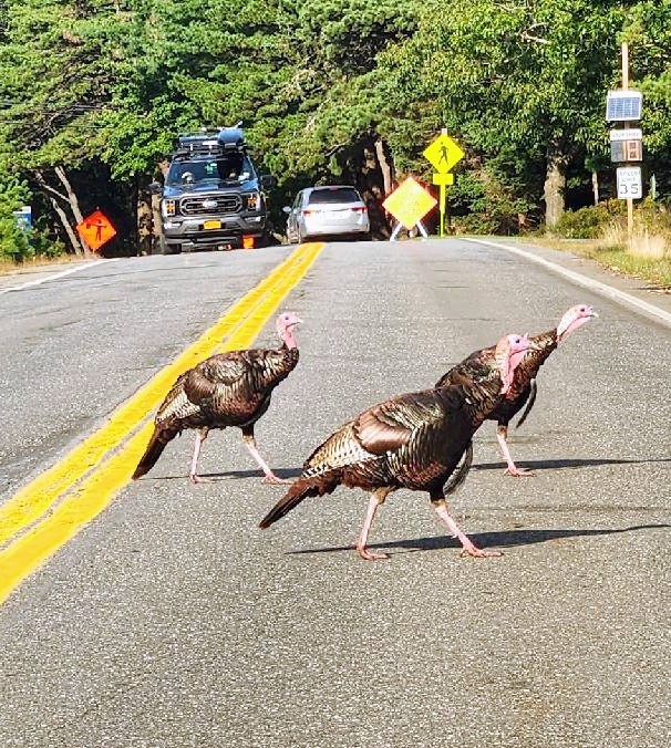
Acadia National Park has miles of Carriage Roads that dissect the park and make perfect trails for hikers, bikers, equestrians, and people with pets (no cars!). Rented E-bikes seem to the “latest & greatest” vehicle of choice along these paved trails. The Carriage Roads were built in the early 20th century as a way to see the park by horse and carriage, which you can still do today (for a nice price). There are 45 miles of these historic roads with 16 old stone bridges. It is not uncommon for people to see owls, frogs, porcupines, tortoises, foxes, turkeys and deer along these trails.
In conclusion, Acadia was a magical place for me and my family. I will always cherish the memories of a week spent in this wonderful national park where the sea meets land, tide pools meet beaches, lakes meet mountains and ponds meet meadows. One can also have fresh lobster three meals a day! What’s not to love?
Comments welcome!!
Bryce Canyon National Park

Utah

A friend recently told me that we would spend all of our time at Zion National Park “looking up” and all of our time at Bryce Canyon “looking down.” That statement couldn’t have been more spot-on!

My husband and I spent two full days exploring Zion and dedicated one full day to seeing Bryce Canyon. Bryce Canyon National Park was spectacular and definitely lived up to all the hype. We could have easily spent more time there if our schedule had allowed.

Bryce Canyon is located in southern Utah and is one of Utah’s Mighty Five National Parks (between Zion and Capitol Reef). It is approximately four hours from both Las Vegas and Salt Lake City. We traveled to Bryce from Zion and it was a scenic 80 mile drive that we easily drove in under two hours.

Bryce Canyon seems to be a little underrated and is always overshadowed by Zion, though I have never heard of anyone visiting Bryce and being underwhelmed. We certainly were not. Both parks have colorful orange and red rocks but that is where the similarities end. Bryce’s geology is very different. Both are fantastic parks in their own way and certainly deserve a visit.

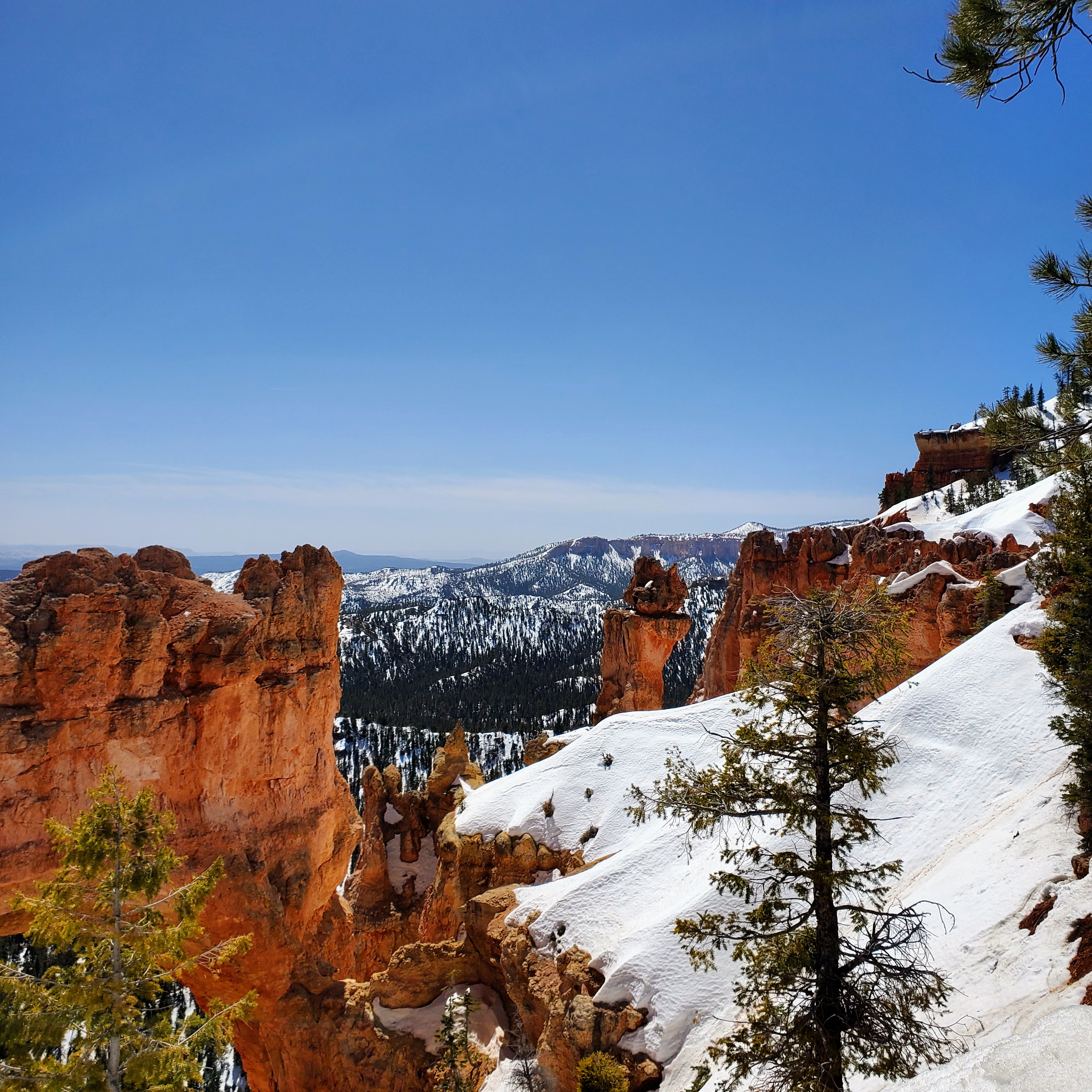
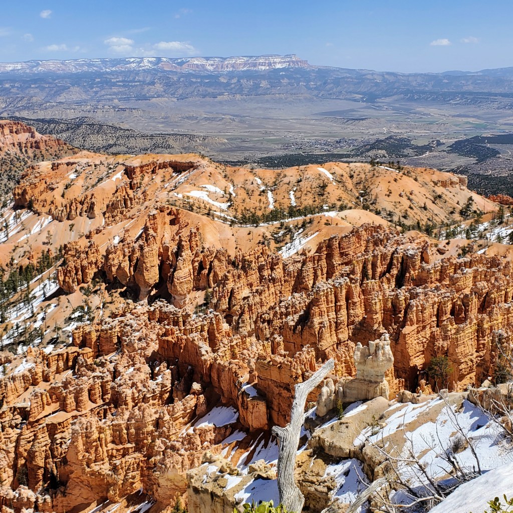
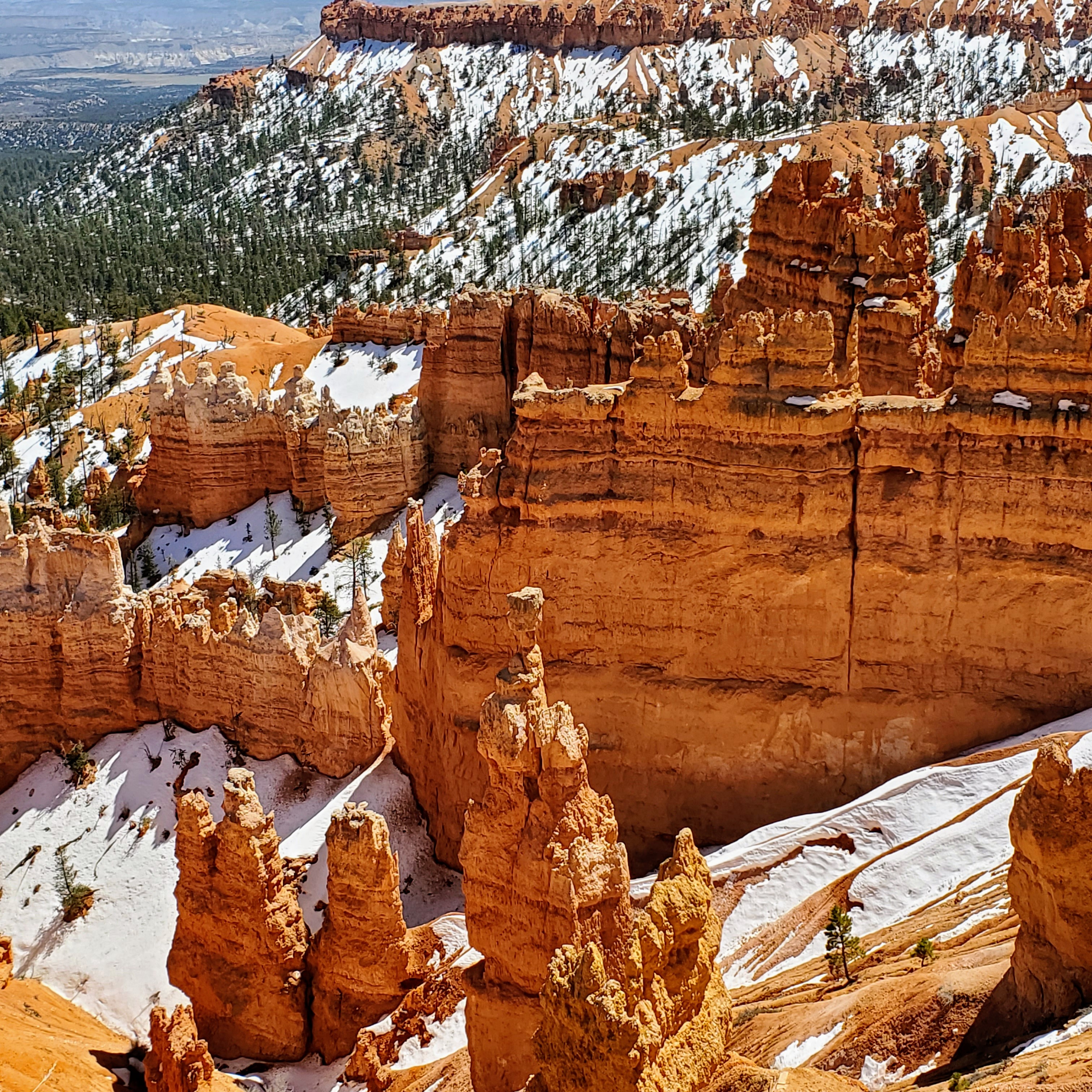
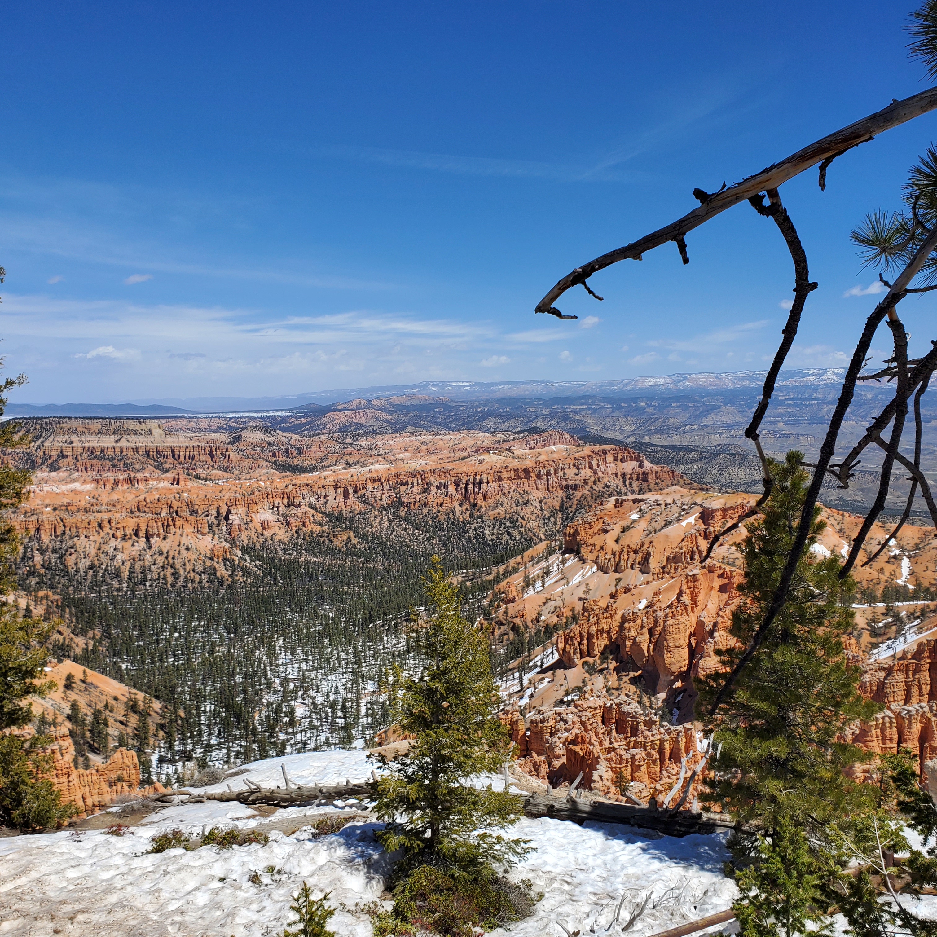
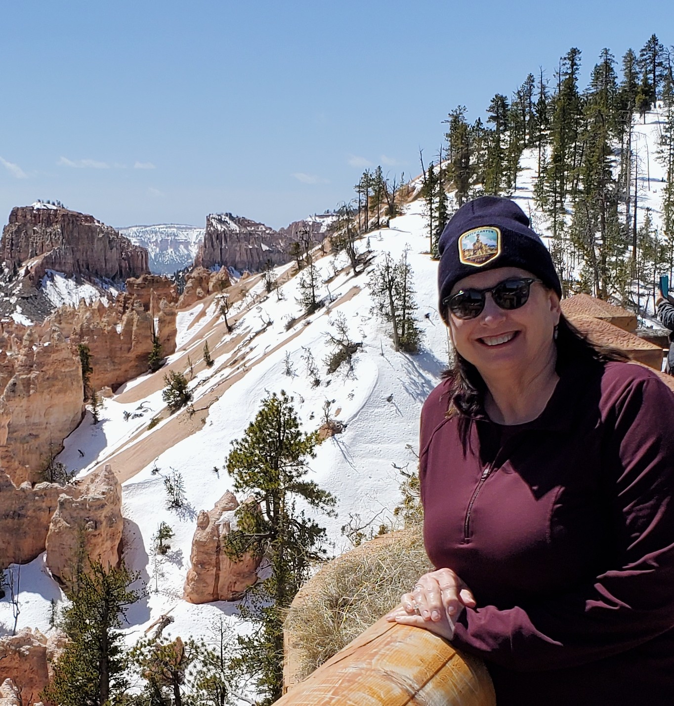
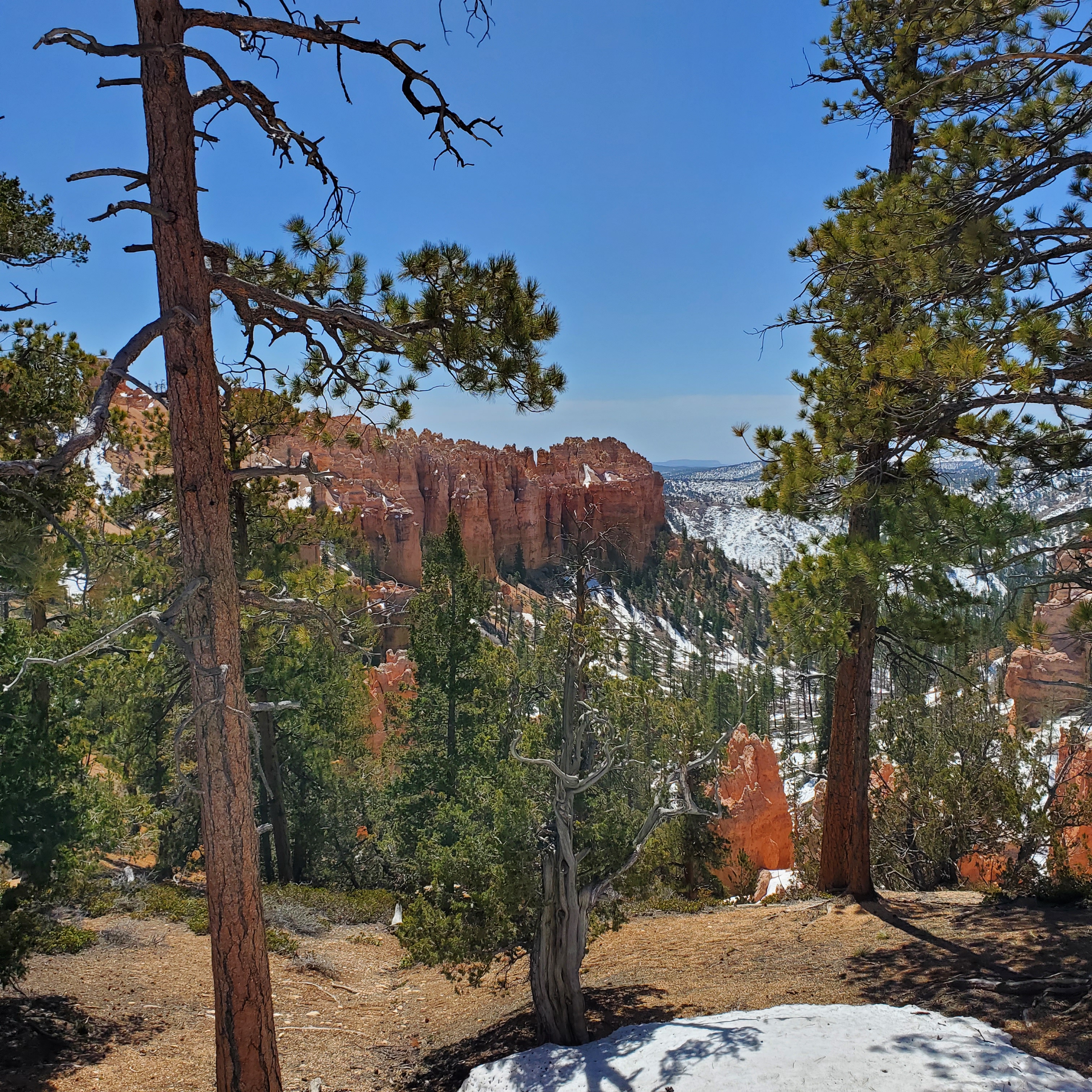
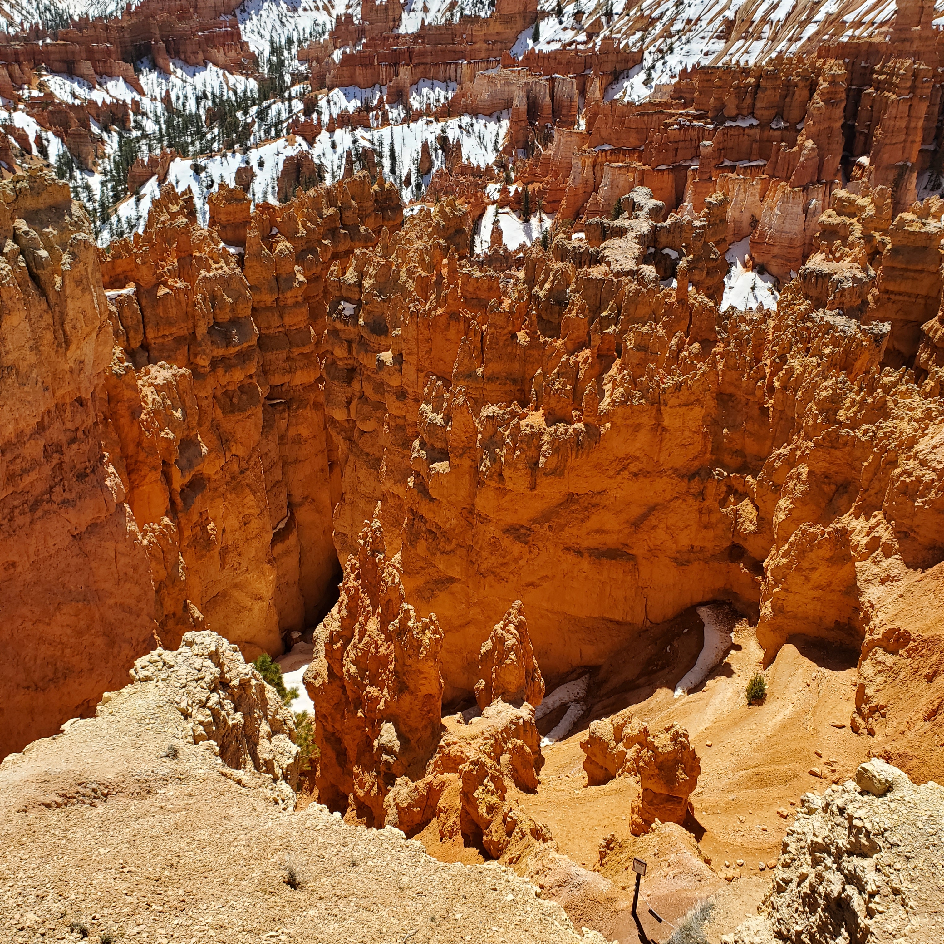
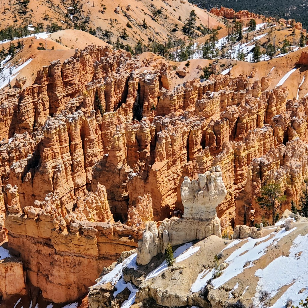
Bryce Canyon was certainly unlike anything that I have ever seen before. The park is filled with red, orange and white towering rock formations known as hoodoos. These spiky limestone “pillars” have been formed by water and wind erosion over millions of years. What we see today seems like something out of a fairytale land or maybe even another planet. Some rock formations appear to be delicate and fragile – others look like strong rock columns that have been stacked by giants. Beautiful, unusual and mesmerizing – all at once. Every view seems different with the sun and shadows constantly changing the colors. When you add in the white sandy hills, the remaining snow drifts and the green tree line in the far distance, the views are truly amazing.

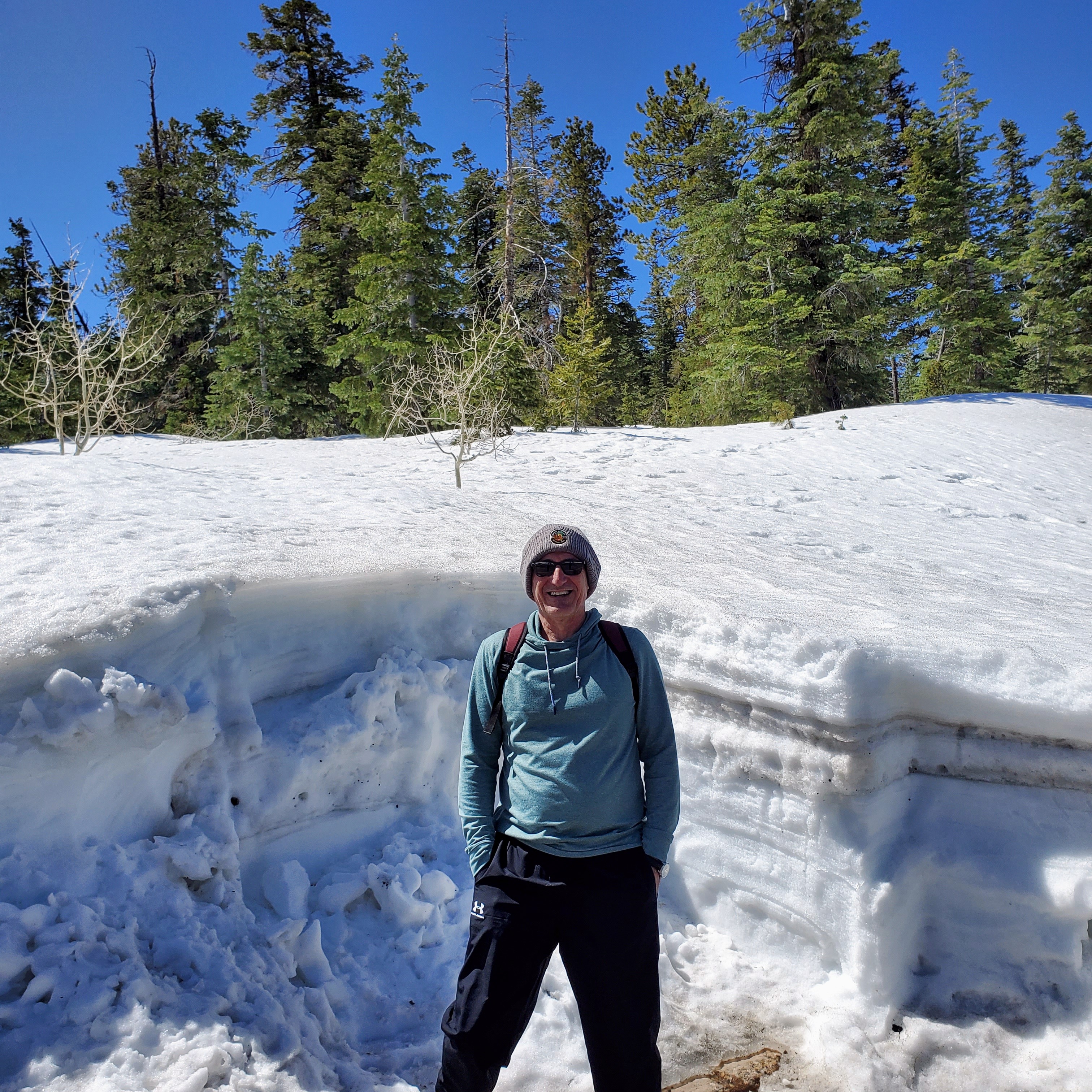
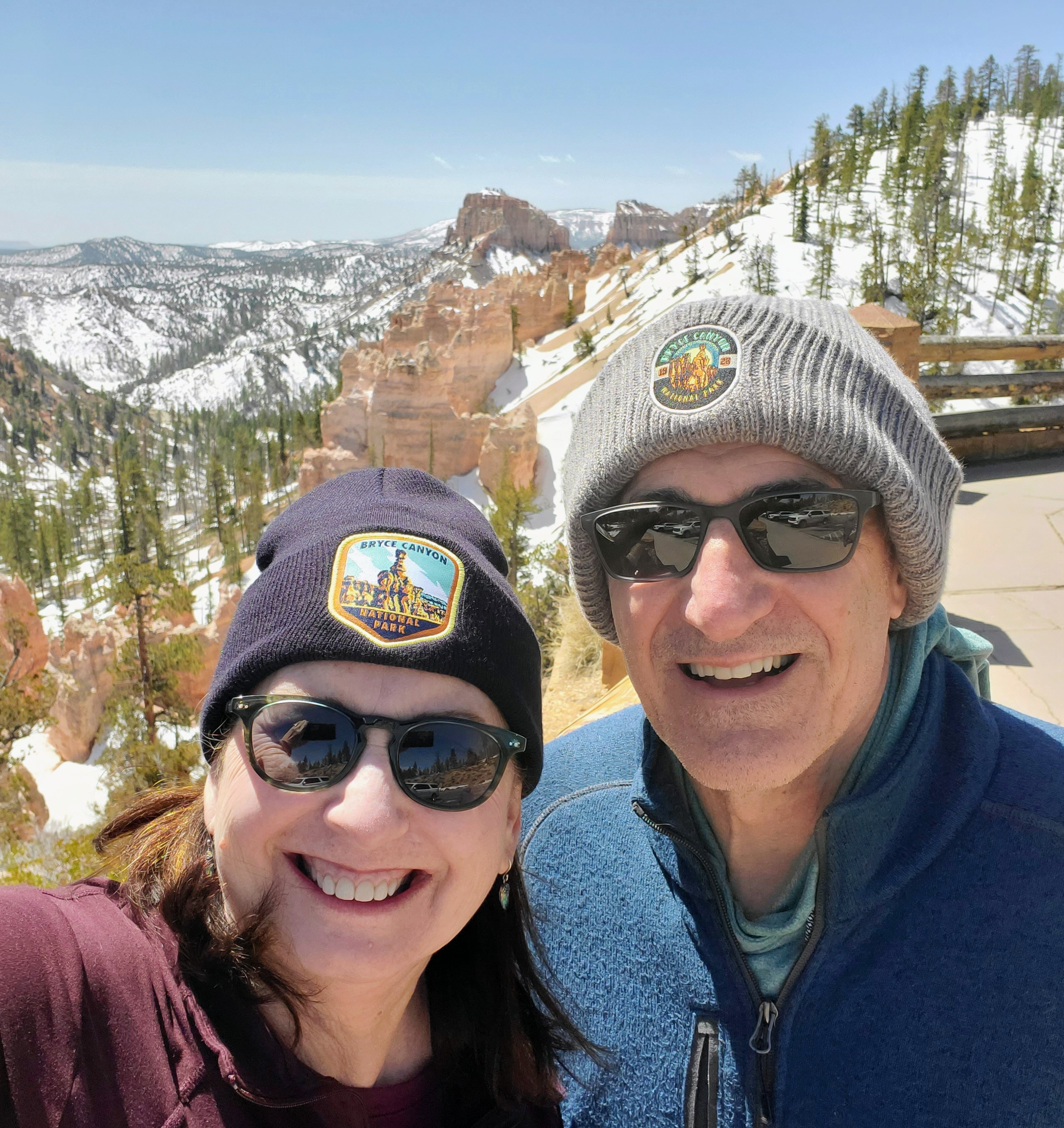
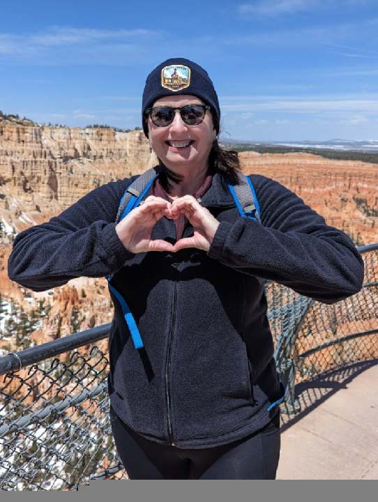
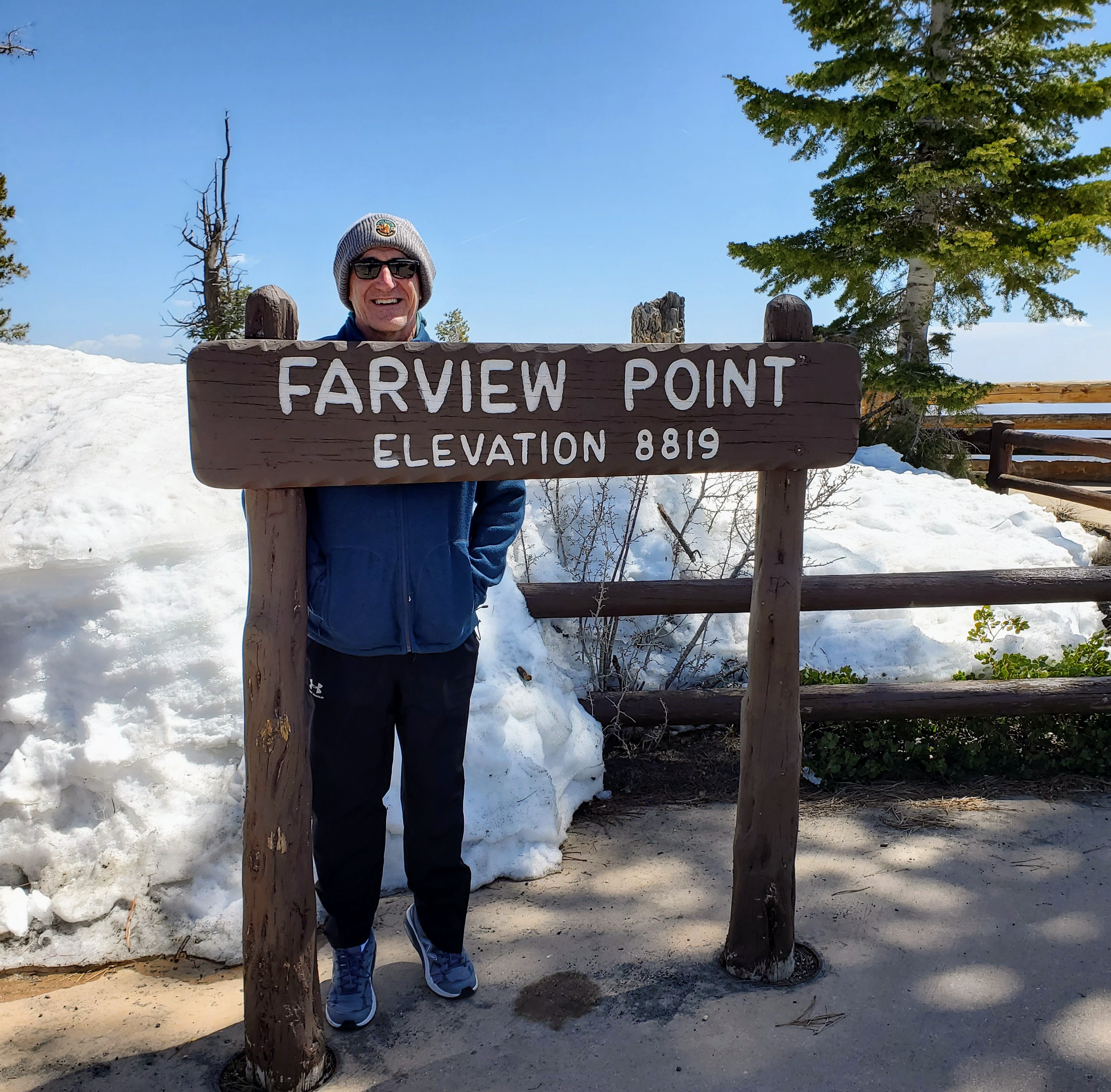
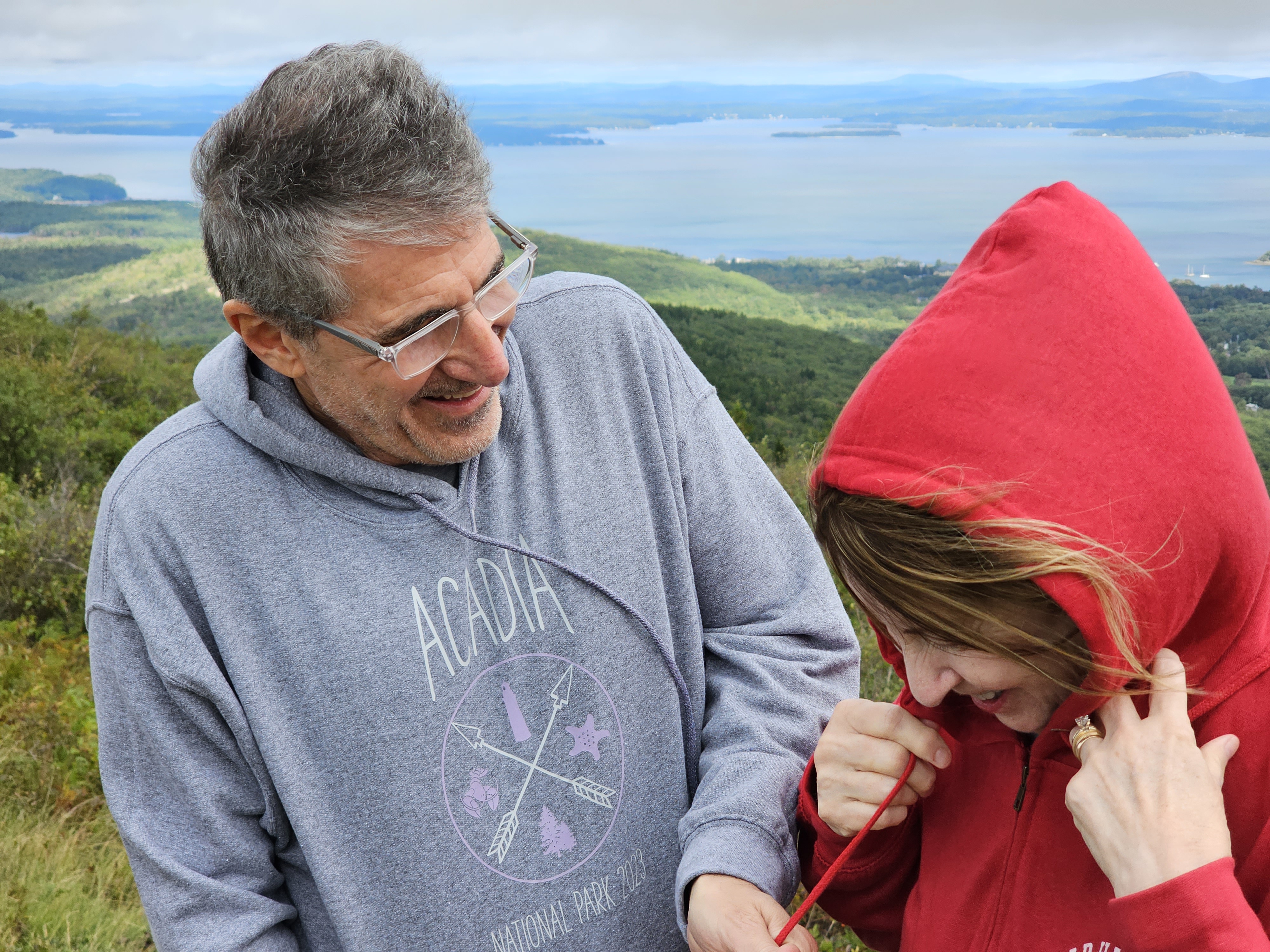
We arrived at the park entrance mid-morning and our first stop was the Bryce Canyon Visitor Center. We learned of the road and trail closures (due to snow/ice), picked up maps, and bought souvenirs. David and I seem to have a habit of always underestimating the weather in certain places we visit, whether it is due to altitude, winds or unpredicted cold fronts. It is now a joke with us to see how much money we spend in each park buying hoodies, jackets, hats, etc. for things that we could have easily packed and brought from home, but didn’t. We now have a wide and varied collection of items with many park logos, including our new knit caps from Bryce Canyon. The wind at that altitude was brutal!!
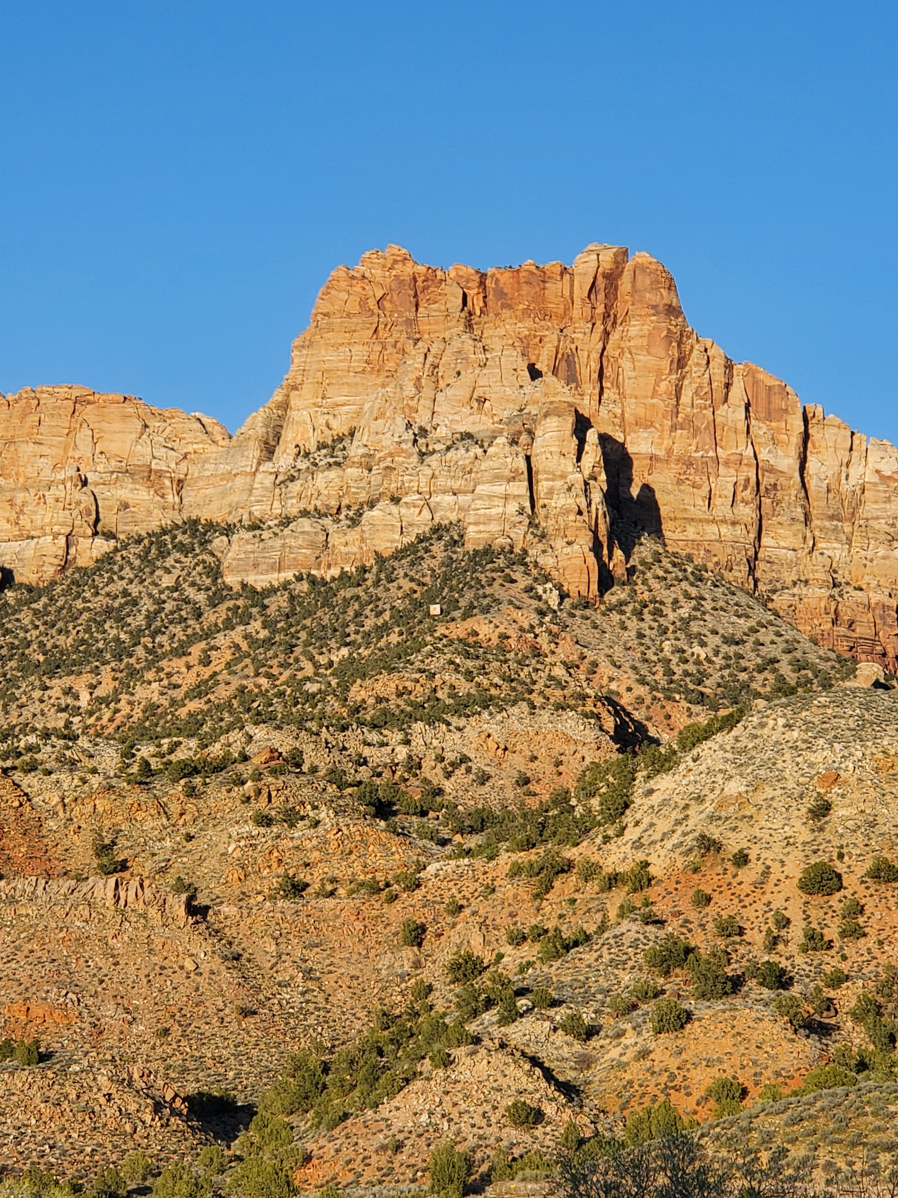
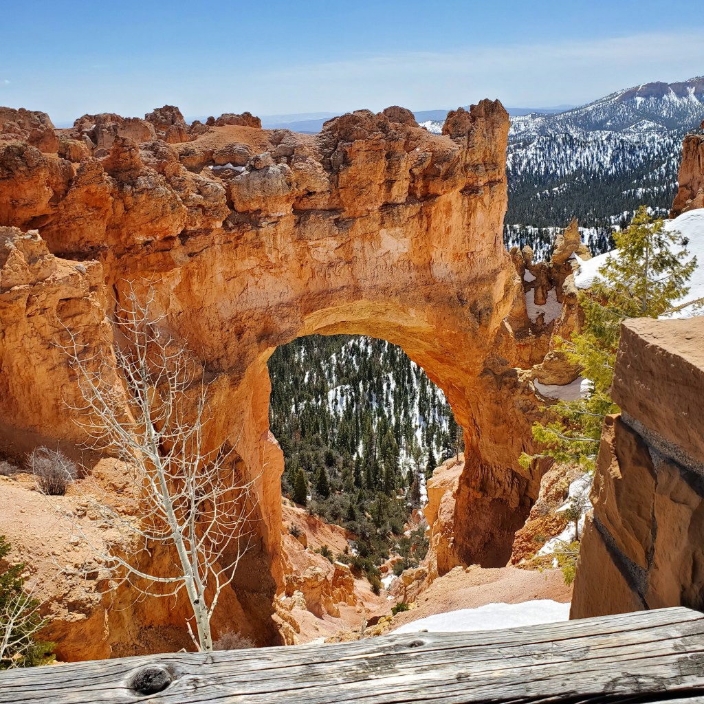
We left from the Visitor’s Center and decided to drive the Bryce Canyon Scenic Drive to the farthest point and work our way back to the park entrance. The route runs 18 miles (one way) to Rainbow Point. Unfortunately, with all the late and heavy snows, the road had not been snowplowed to that point and we could only go as far as the Natural Bridge Overlook. Our first official views of Bryce Canyon were at Natural Bridge and they did not disappoint. Wow!

One of my favorite stops was at Bryce Point, which runs along the Rim Trail. We parked and walked along the paved section of the trail that overlooked the Bryce Amphitheater. This section is an expansive area along the canyon floor where thousands of hoodoos stand like silent soldiers. There is no other place in the world that has as many hoodoos as Bryce Canyon! There are various viewpoints along the six-mile Rim Trail where you can walk/stand and marvel at all these unusual rock formations far below. Fantastic photo ops!

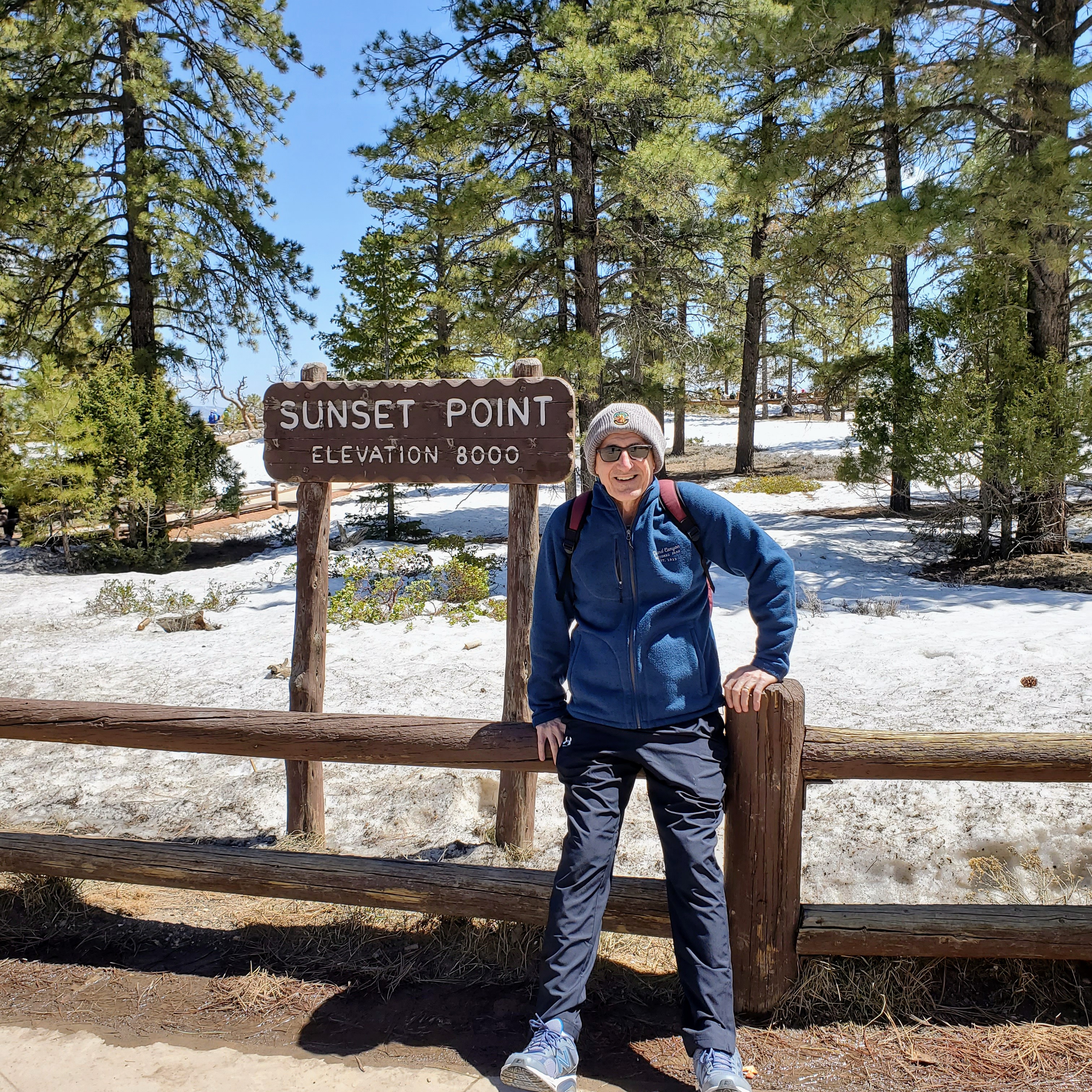
Sunset Point was another very scenic stop along our drive through the park. This is the point where the Navajo Loop Trail and Queen’s Garden Trail begin and where you can view Thor’s Hammer. This seemed to be the most popular viewing spot in the park and the only place where we saw full parking lots and small crowds. The hoodoos and views from this observation point were certainly the reason why it was so appealing.

The canyon rim along these overlooks sits at an elevation around 9,000 feet. This particular day was clear and sunny with warm temperatures. The elevation and light winds made it feel much cooler than expected. Snow still covered much of the park (especially in shadows) and many trails were closed due to icy conditions. It was easy to see why the high altitude and cool temps make Bryce a prime vacation spot in the heat of the summer months.

Bryce Canyon National Park is relatively small and you can see the highlights in one full day, including the 13 vantage points along the Bryce Canyon Scenic Drive and maybe do a short hike or two. If you are more serious hikers, you may want to spend at least a couple of days in the park.

This visit to Bryce ended up being a perfect day for us and we were so glad that we got to experience the park in all its glory. As a side-trip from Zion, it was an easy drive and well worth the effort. Even though some roads and trails in the park were still closed, we thoroughly enjoyed not fighting for parking and pushing through crowds. No regrets!

See you on the trail!

Zion National Park

Utah

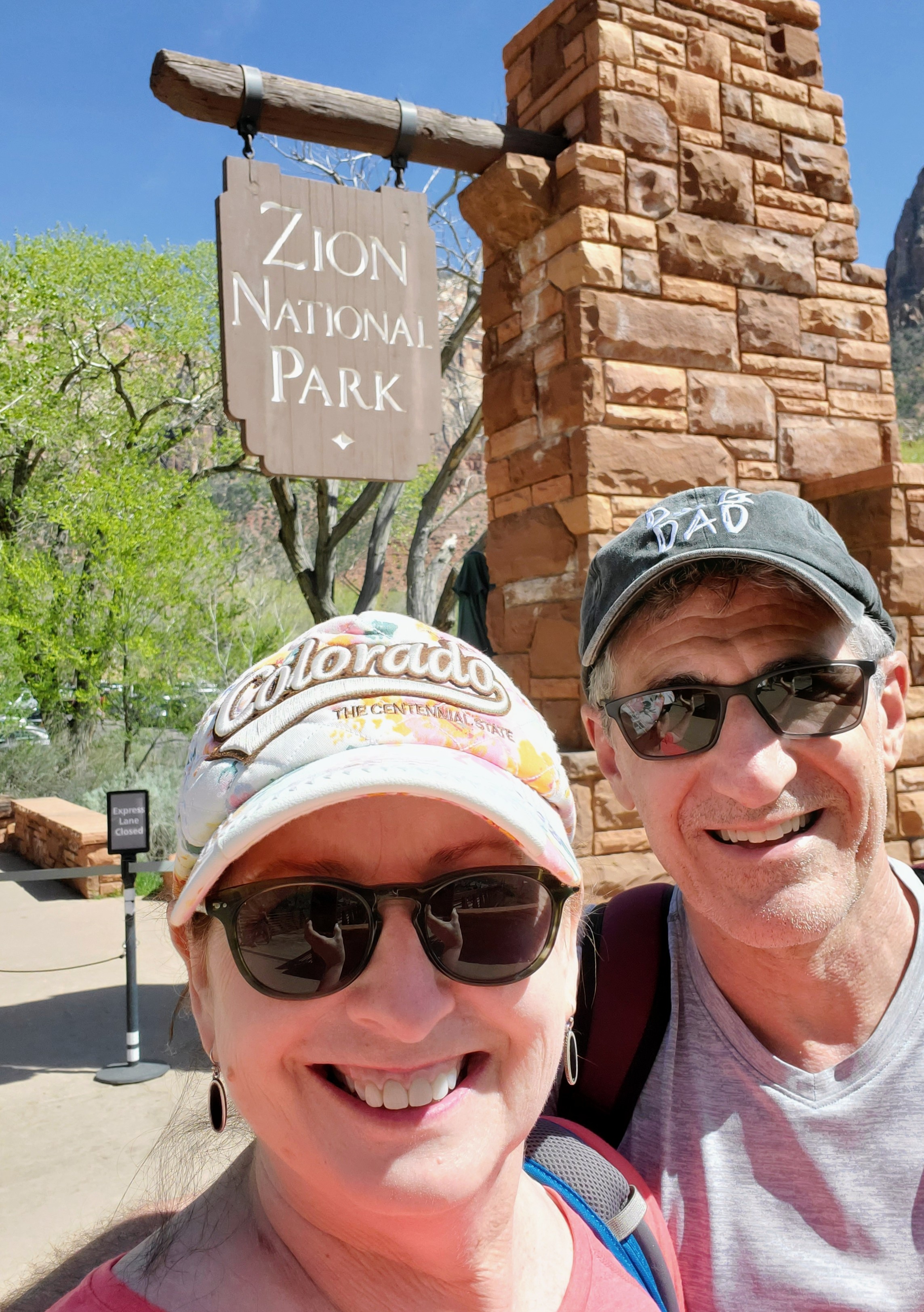
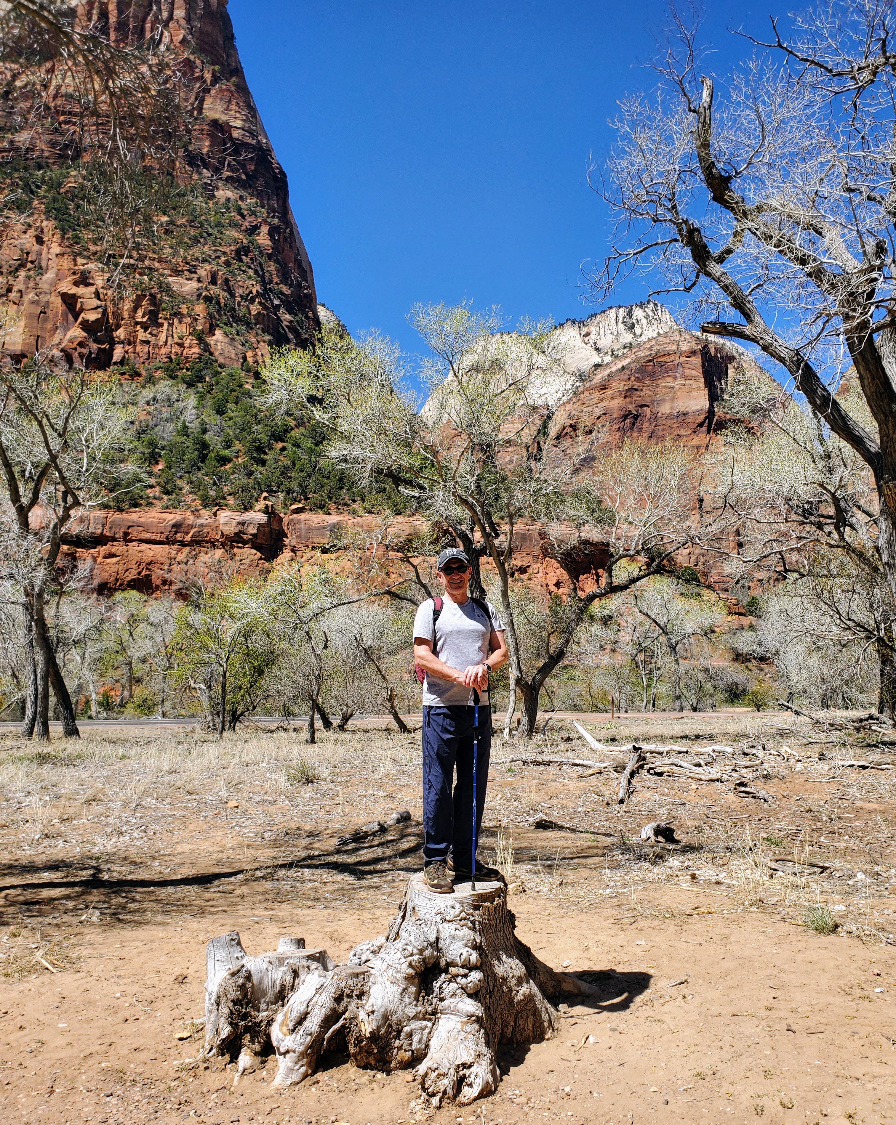
If I had to describe Zion National Park to someone, I would just say, Wow!” Words will never do it justice and neither will photographs. You have to be there in person to experience the full, authentic Zion experience.

Zion National Park is one of Utah’s “Mighty Five” National Parks. Located in the southwest corner of Utah, it is an hour from St. George, two-and-a-half hours from Las Vegas and four-and-a-half hours from Salt Lake City. My husband and I flew into Las Vegas and rented a car there for our drive into Springdale, where we booked a hotel very near the park entrance.

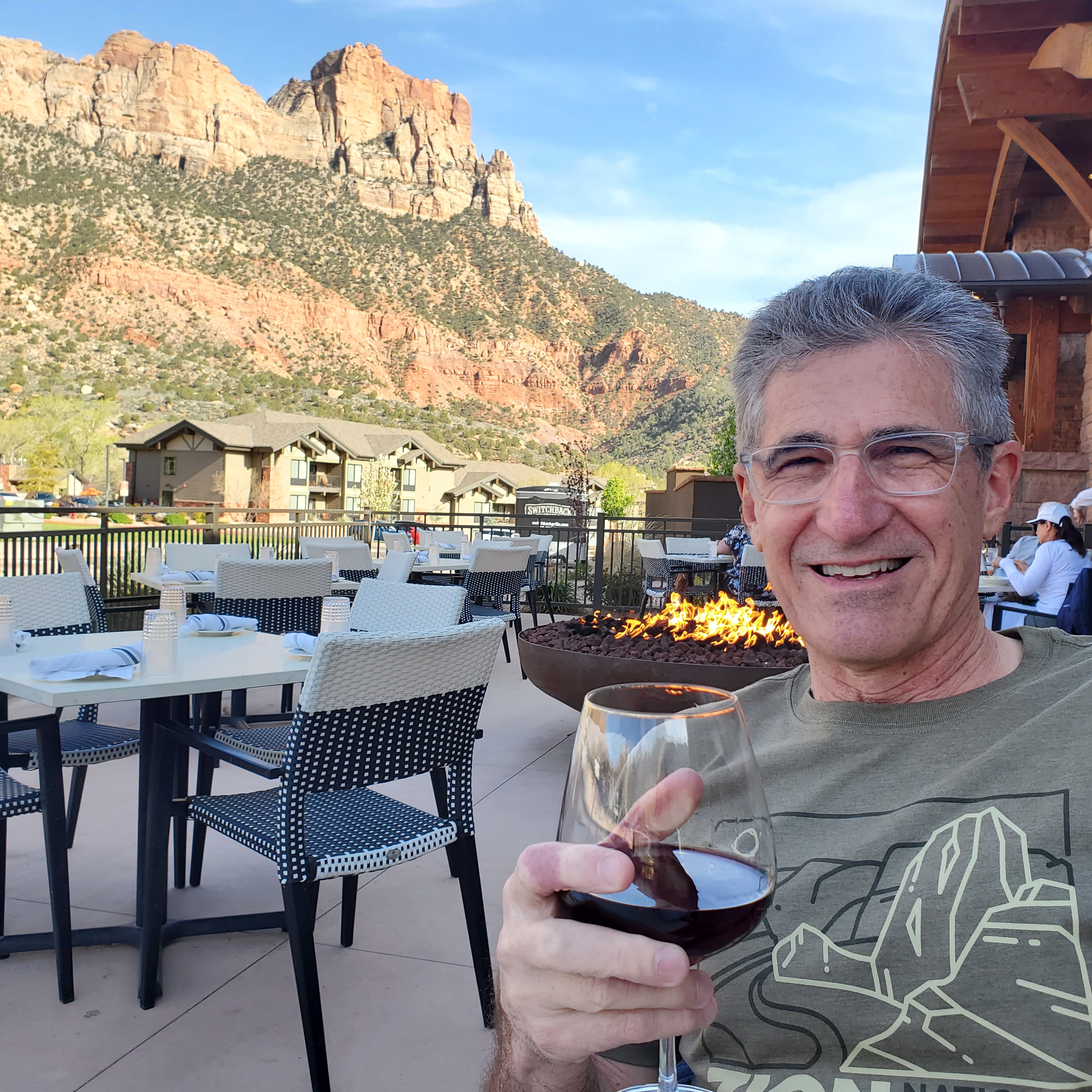
Staying in Springdale worked out perfectly for us. We had designated parking (which can be very scarce near the park) and had several restaurants in easy walking distance. The City of Springdale also runs a shuttle service that had a stop right in front of our hotel. The city shuttle bus took us right to the park’s south entrance and brought us back each day. An added “plus” for Springdale – the entire town has some pretty gorgeous views of the red-striated mountains that make Zion so unique. We felt very connected to the beauty of the area while in town. Springdale was a perfect location and had all the amenities that we wanted. It made our stay “easy, peasy!”

A trip to Zion can be a little confusing until you figure out the logistics. First of all, cars are not allowed in Zion National Park. The park has a free shuttle system in place (March thru November) that reduces road congestion and resolves parking issues that we experienced in other parks. The shuttles do not require tickets or reservations. You just hop on and off wherever you choose. The shuttle system made getting around the park super easy and convenient. We never waited more than 5 minutes for a shuttle at any of our stops throughout the park and the drivers were friendly and helpful. I was very impressed and certainly wish more of the National Parks would use this system.

The park shuttles run from the Zion National Park Visitor Center (stop #1) up the canyon road, stopping at several stops, until the last stop (#9) the Temple of Sinawava. The shuttle stops are located at various viewpoints, waterfalls and trailheads including Zion Canyon Scenic Drive, Zion Human History Museum, Canyon Junction, Court of the Patriarchs, Zion Lodge, the Grotto, Weeping Rock, and Big Bend. Maps and signage are plentiful and easily to navigate. While on the park shuttle, pre-recorded tapes inform riders about the park’s geology, plant & animal life, trails and history. The ride from the Visitor Center to the final stop (Temple of Sinawava) takes about 45 minutes (approximately 9 miles). The full route, out and back without getting off, would run about 90 minutes.

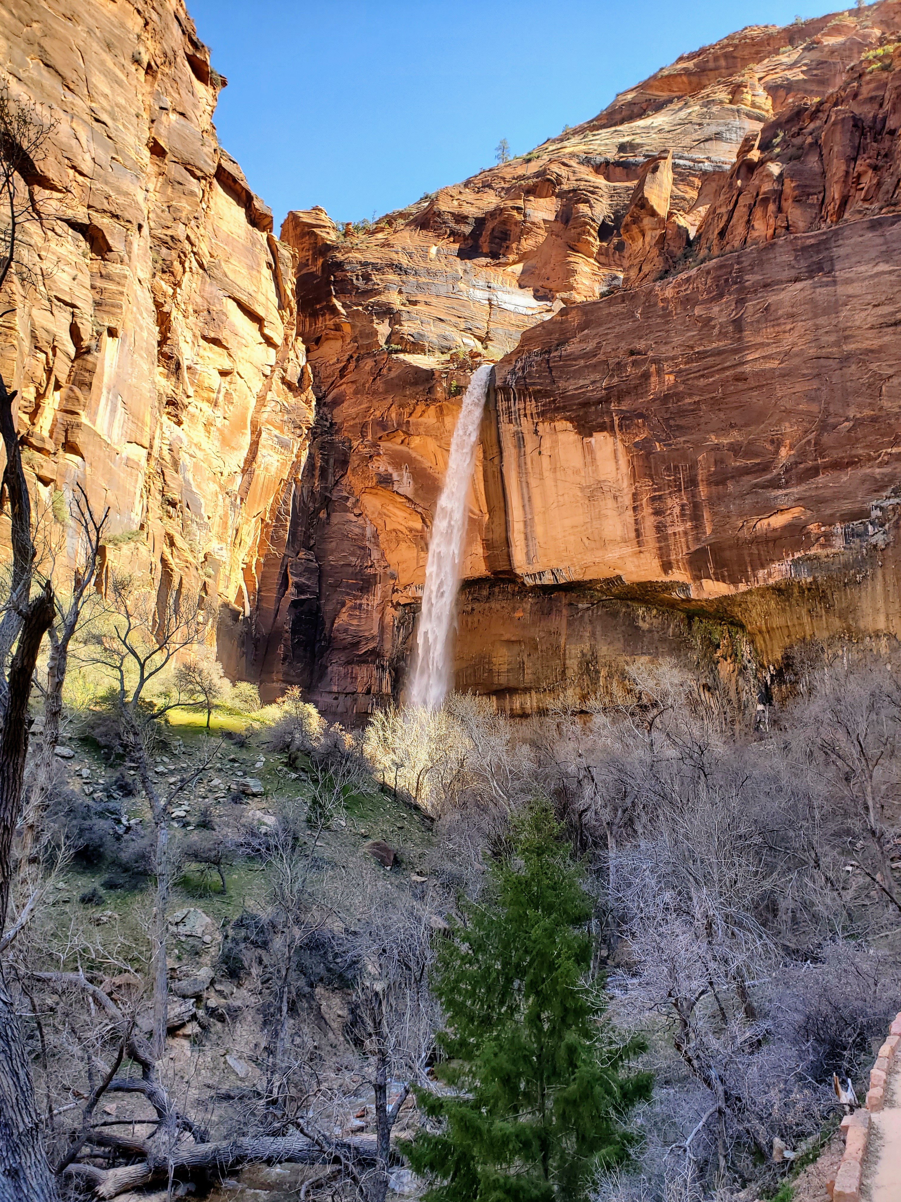
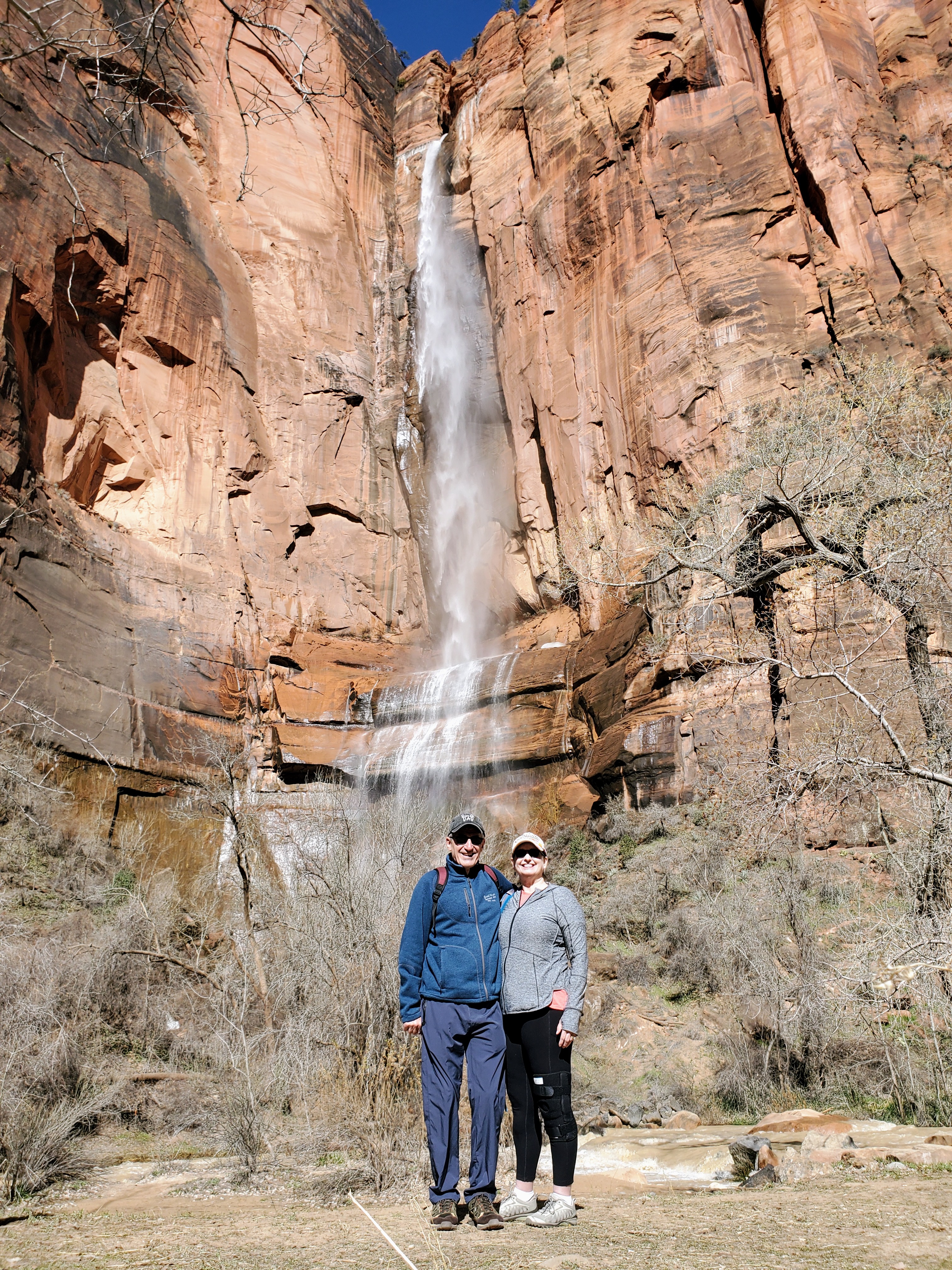
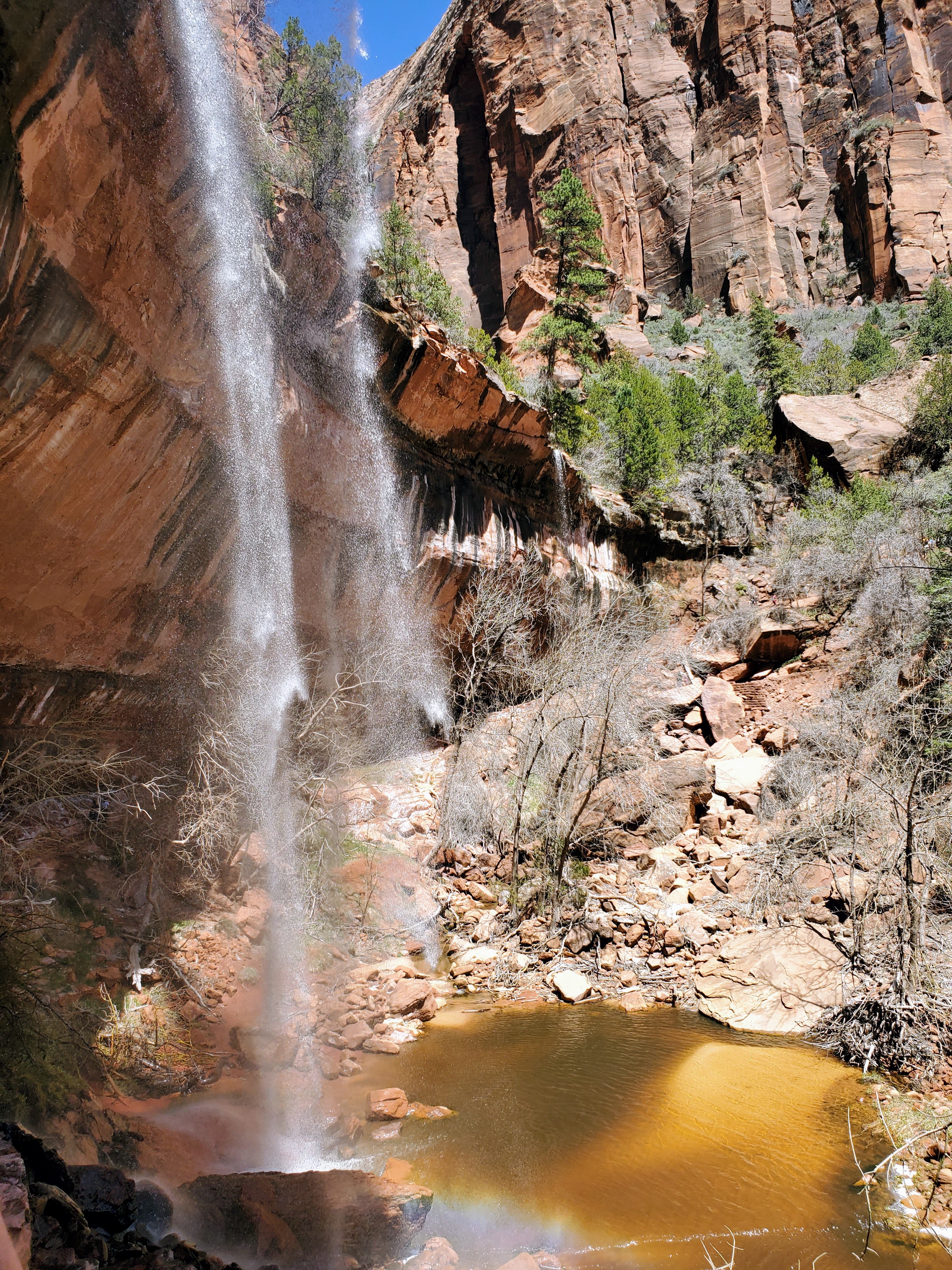
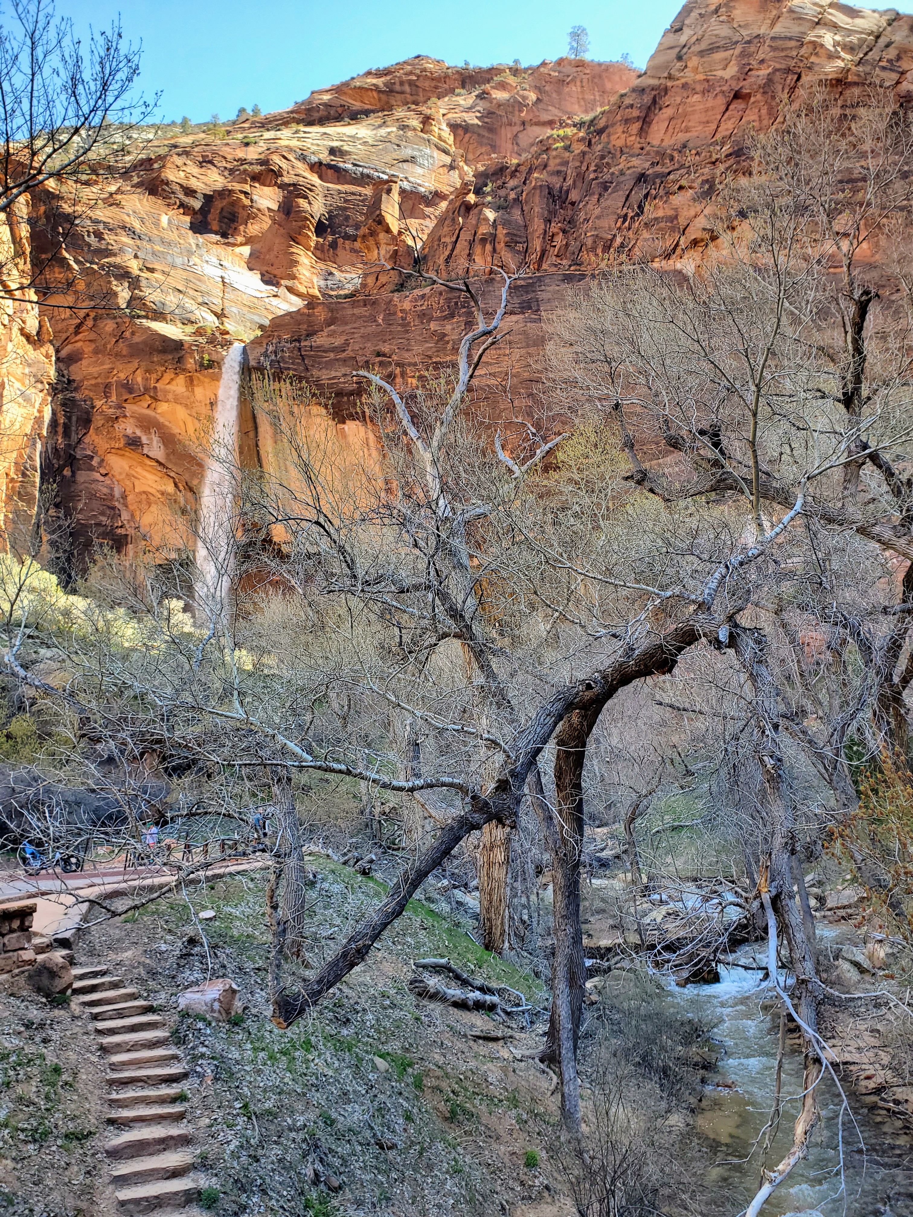
We visited the park in mid-April and the crowds were minimal and the weather was perfect! The temperatures were very pleasant but the water levels were extremely high due to snowmelt and spring rains. The famous Narrows hike through the Virgin River was closed due to the dangerous conditions. Fortunately, these same weather conditions made the waterfalls spectacular! Zion National Park will be its busiest from late April to early October, with summer being the most popular time to visit. Long lines, heavy crowds and the extreme heat may not be ideal for you or your family. Plan accordingly.

This was my first visit to Zion National Park and I had always wondered what the big deal was with a park in southern Utah that is surrounded by deserts. It was in the middle of nowhere and was difficult to get to. Could it really be that great? I was skeptical until we were driving in and got about half an hour from Zion (Hurricane, Utah). The scenery changed quickly and the landscape went from boring to beautiful. Maybe there was something to this place after all.

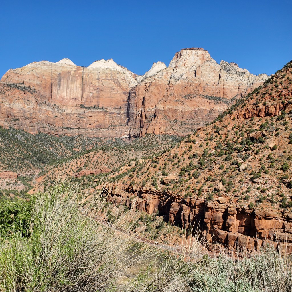
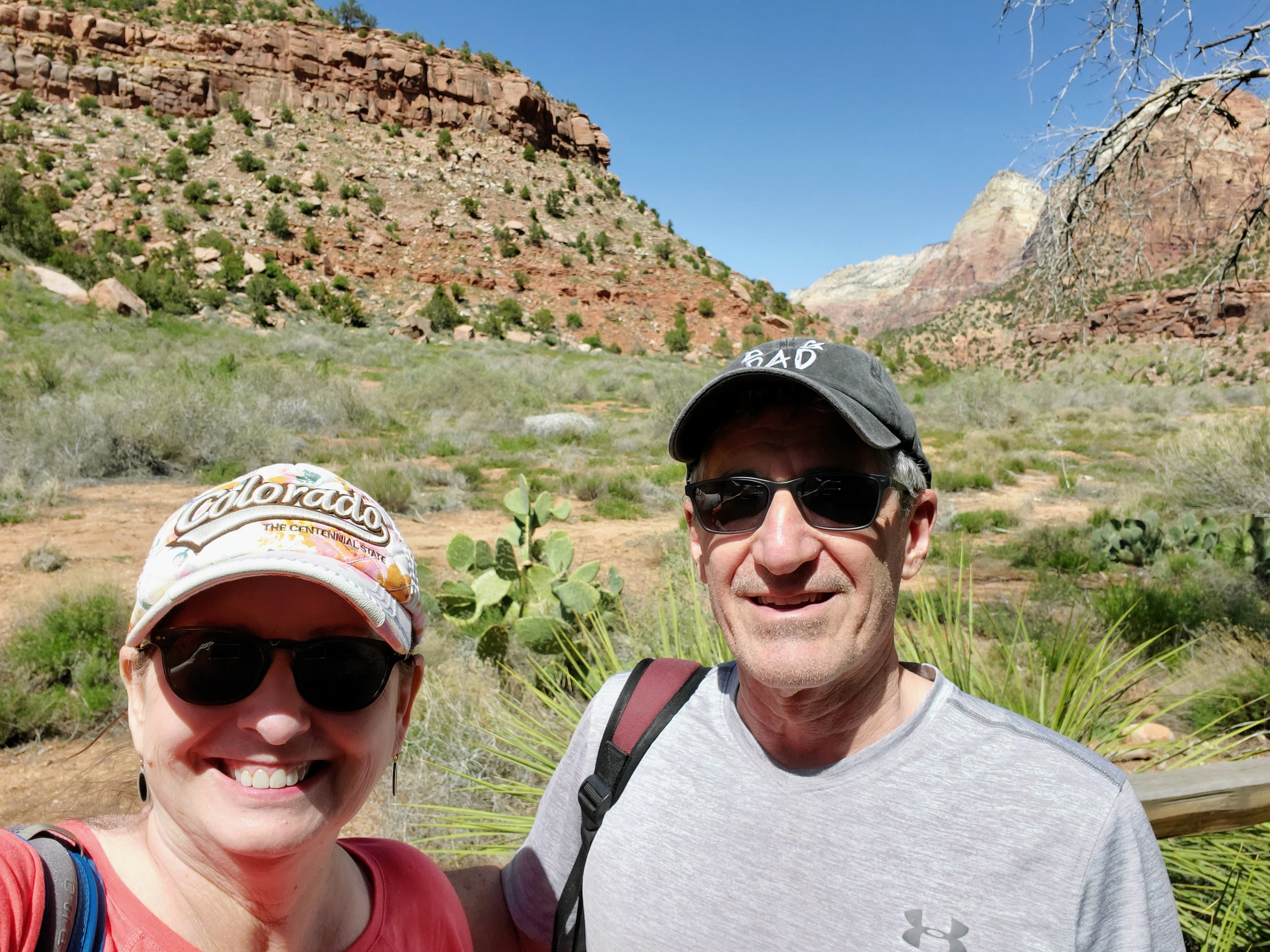
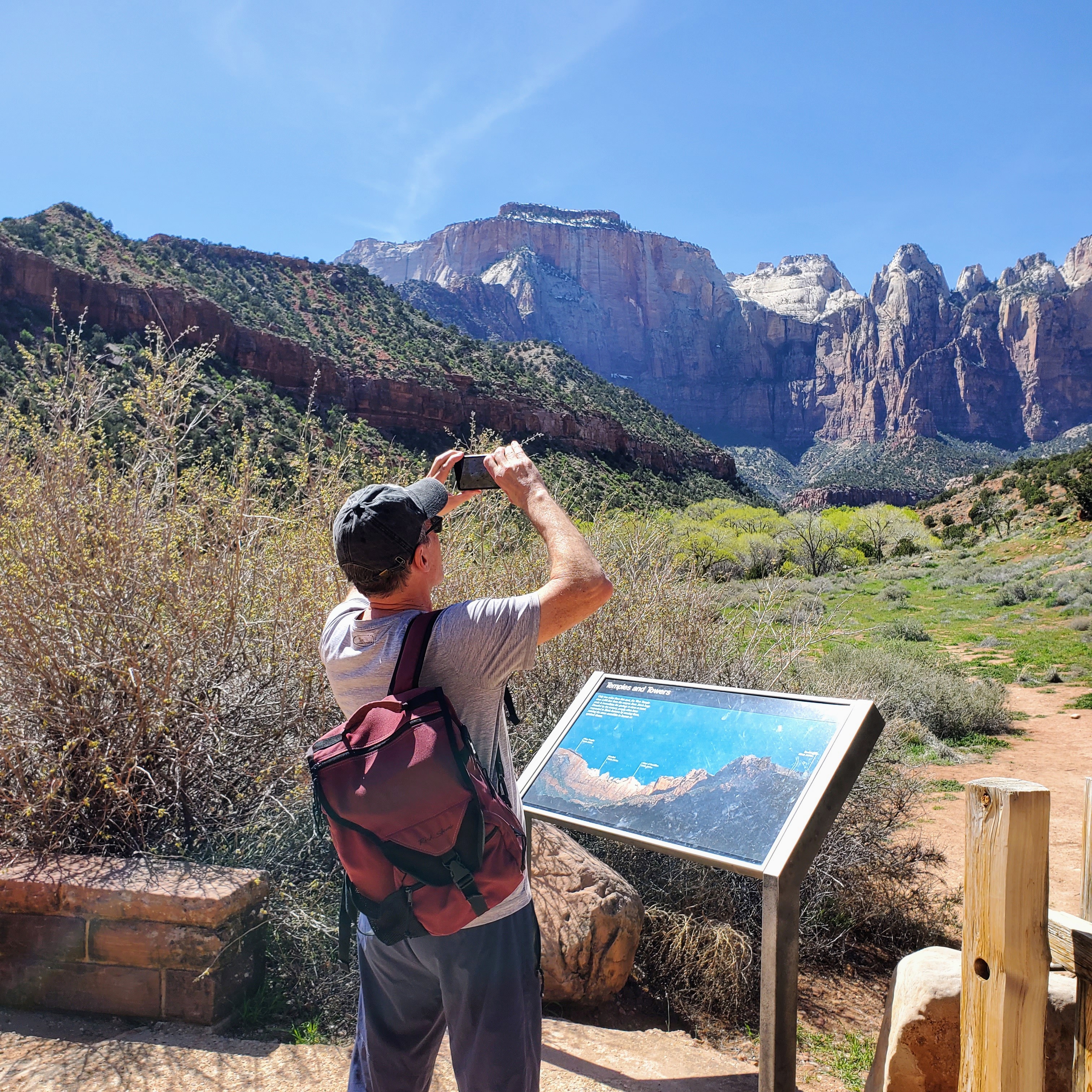
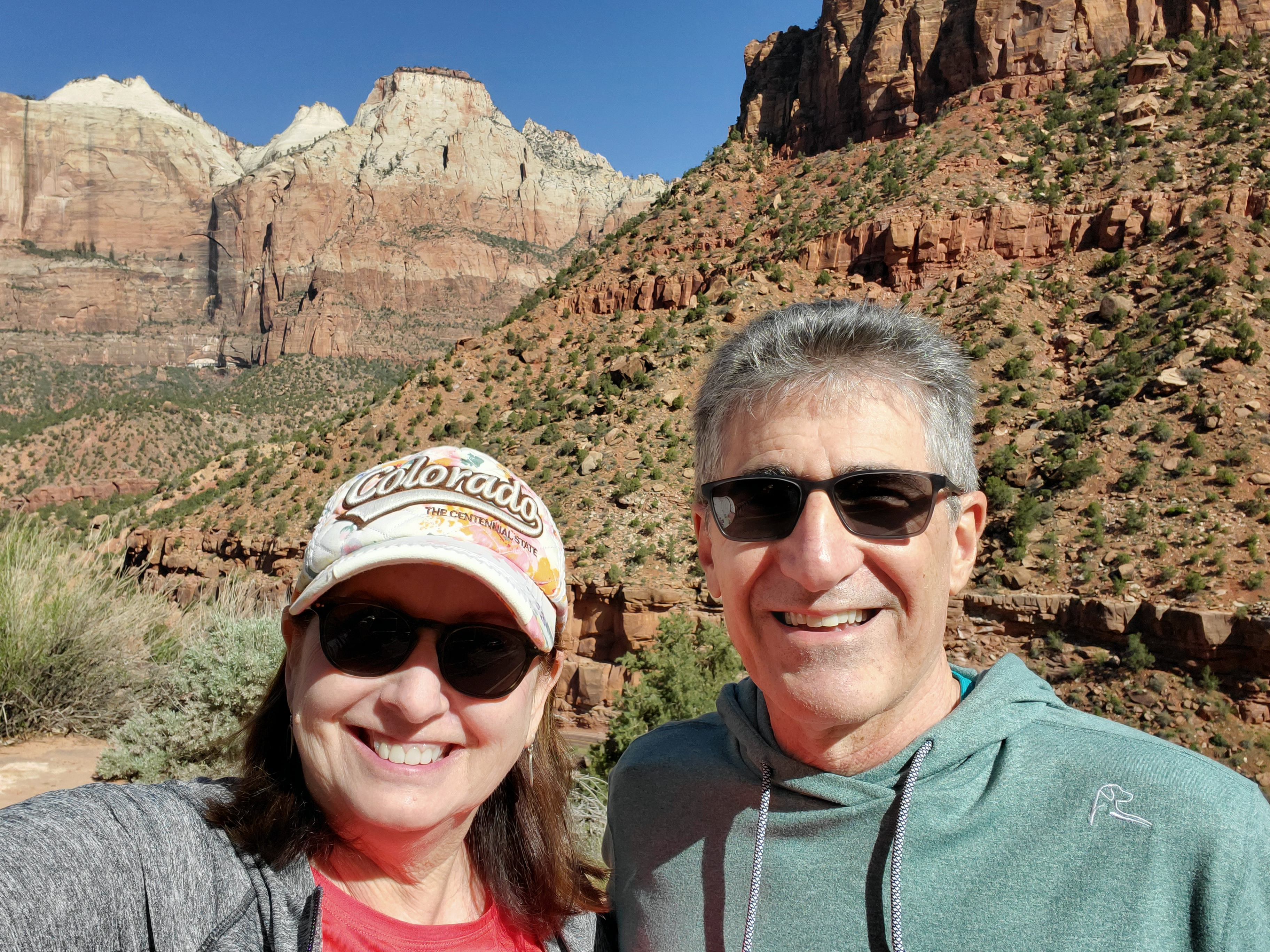
Zion was simply an explosion of shapes, colors and textures. The green grasses in the valley were surrounded by towering white, pink, orange, brown and red sandstone and limestone mountains, cliffs and canyon walls. The fast-running, silty Virgin River carved its way through the valley and ran alongside the highways and byways. We noticed craggy peaks, colorful boulders, fields of wildflowers, brushy cacti and clusters of pine trees. Zion National Park was postcard perfection. I quickly saw the appeal of this place.

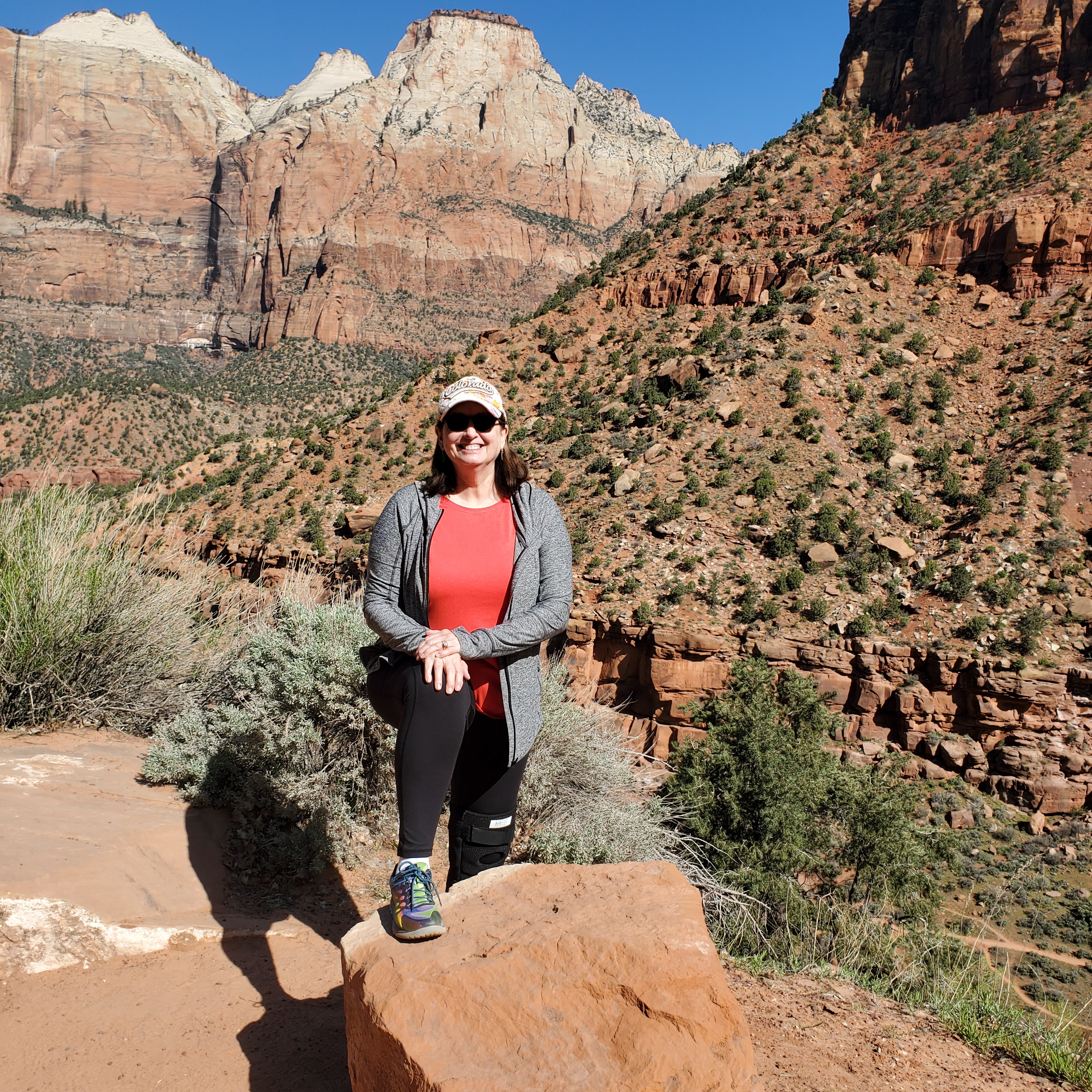
David and I entered the park early on our first full day. No lines! We decided to ride the shuttle all the way to the final stop and work our way backwards. We hiked approximately 7 miles the first day and saw many beautiful sights. We hiked paved, sandy, rocky, forested and dirt trails. We saw mule deer, beautiful waterfalls, clear pools, bridges, sandy beaches, ancient trees, mountain ranges and towering cliffs. We ate a leisurely lunch, snacked on ice cream and shopped at The Zion Lodge gift shop. Quite simply, we had the perfect day. We slept like logs that night!

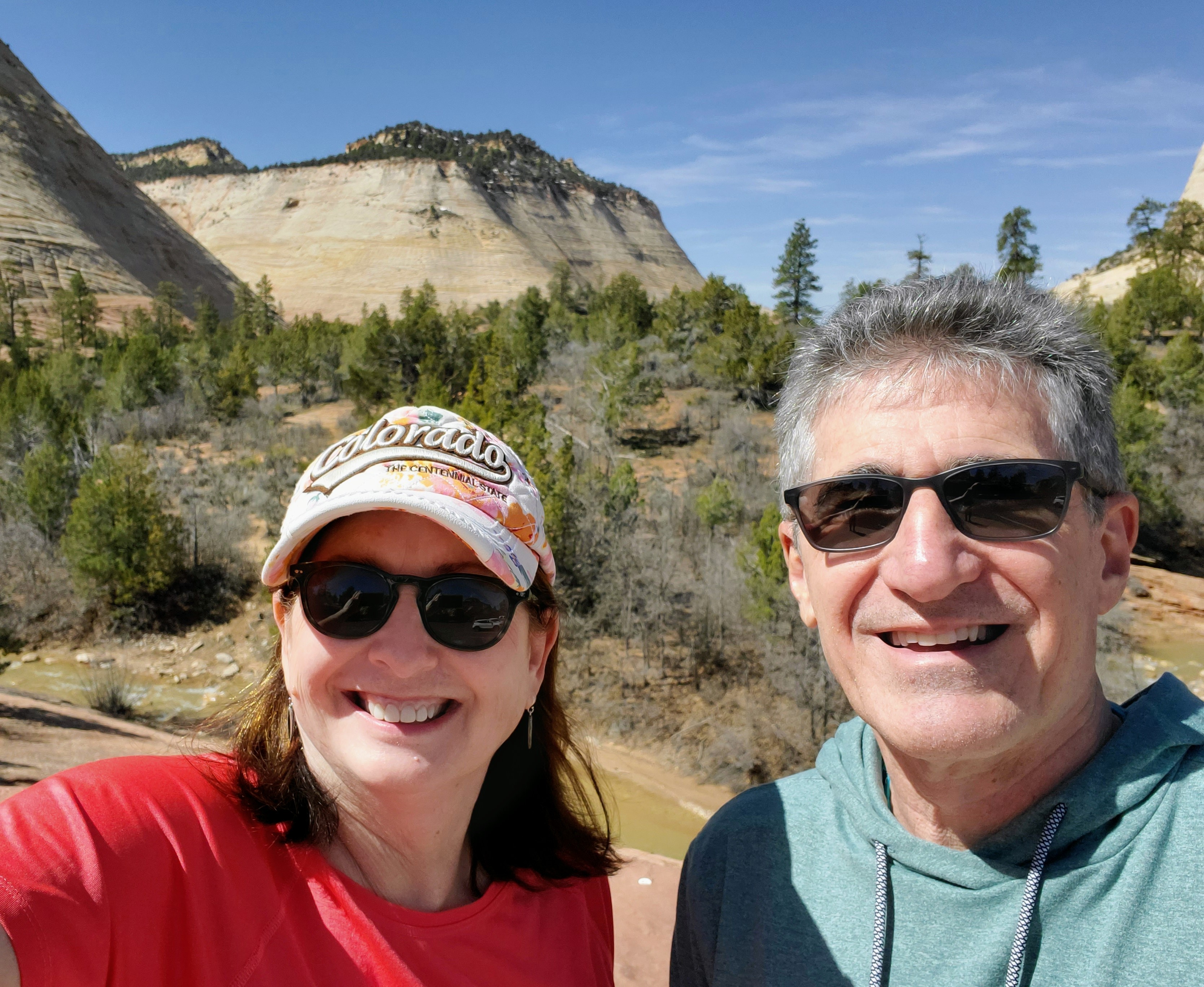
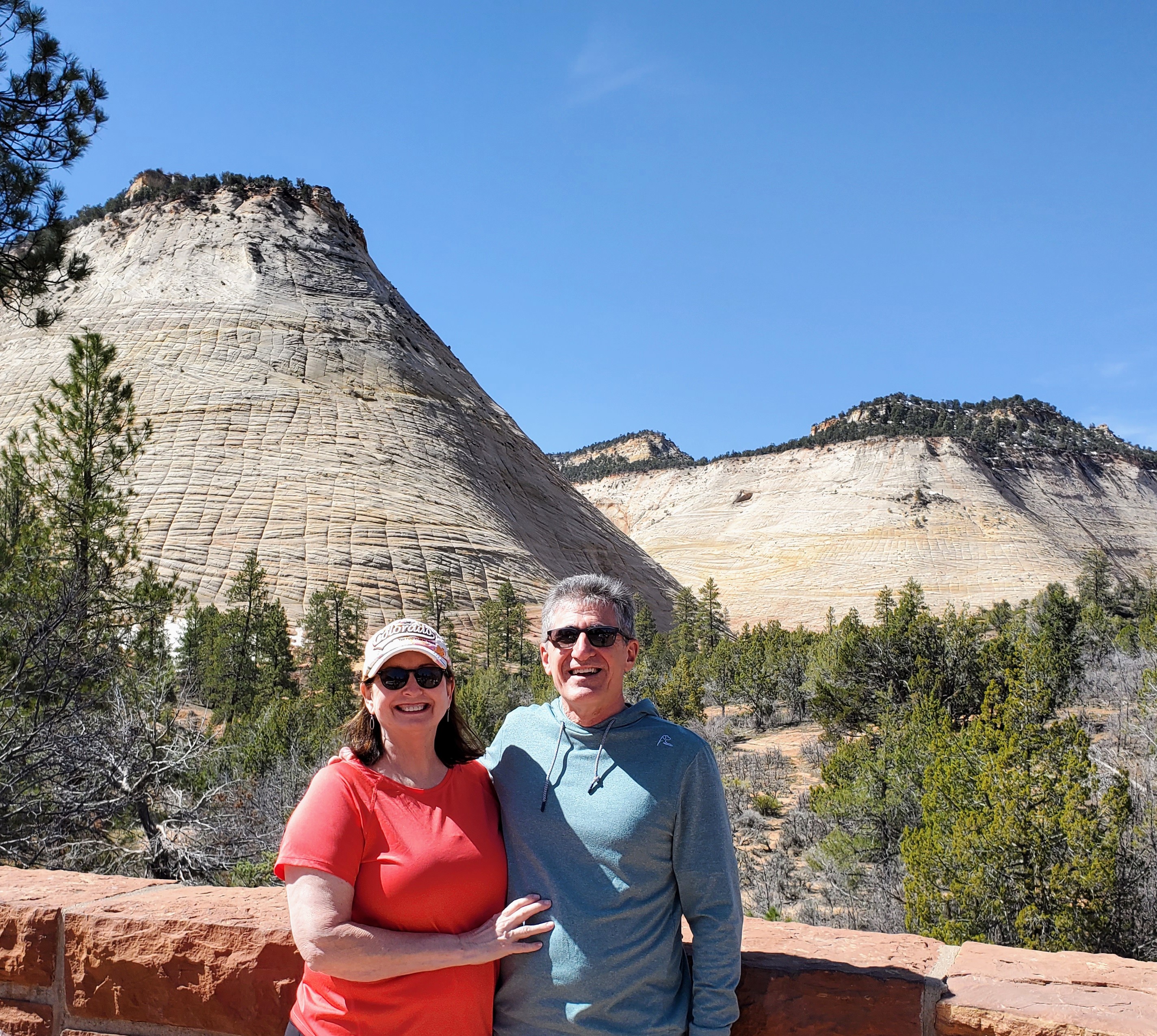
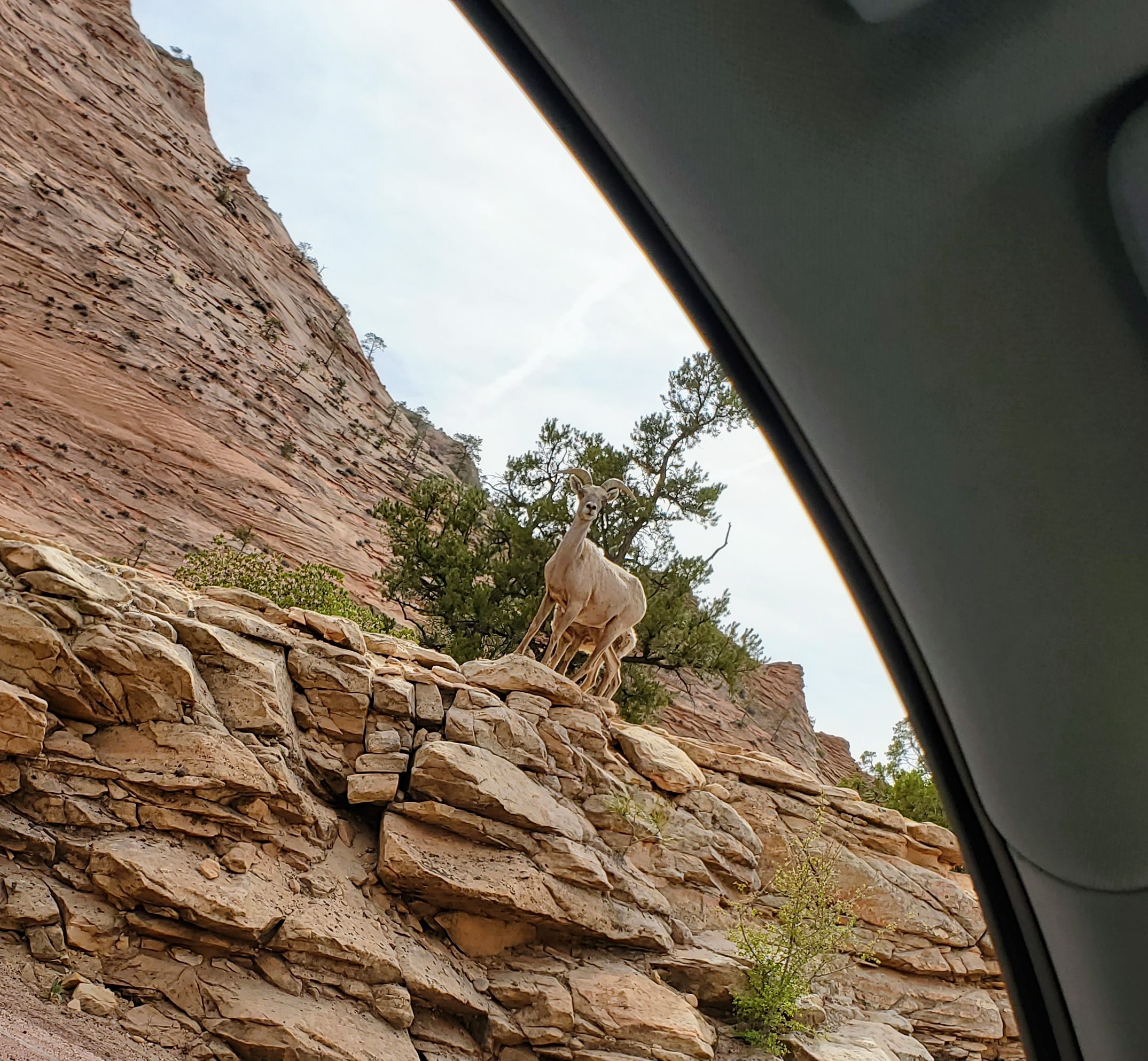
The second day in the park, we drove the Zion-Mount Carmel Highway to Zion’s east entrance. This scenic highway has a tunnel, hairpin switchbacks, elevation changes and great views of Zion. It runs north/northeast and leads to Bryce Canyon or The Grand Canyon . This was a stunning drive with plenty of eye candy. There are many pull-offs, lookouts, parking areas and a few trailheads to stop and explore along the way. This route took us through the mile-long Zion-Mt. Carmel Tunnel, a modern engineering marvel for its time. We enjoyed walking along a sandy bank of the Virgin River, seeing bighorn sheep, and “checking” out the impressive Checkerboard Mesa.

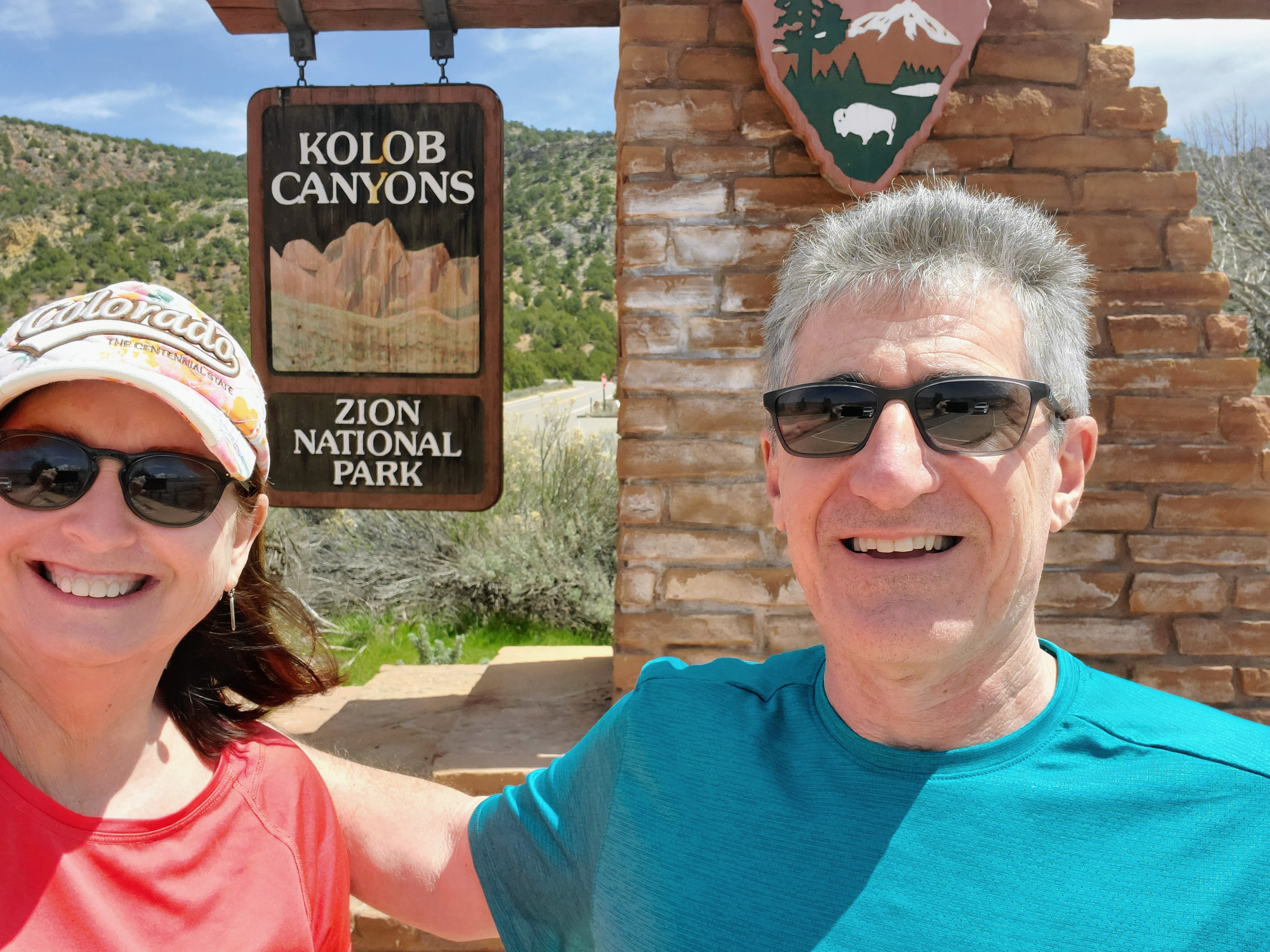
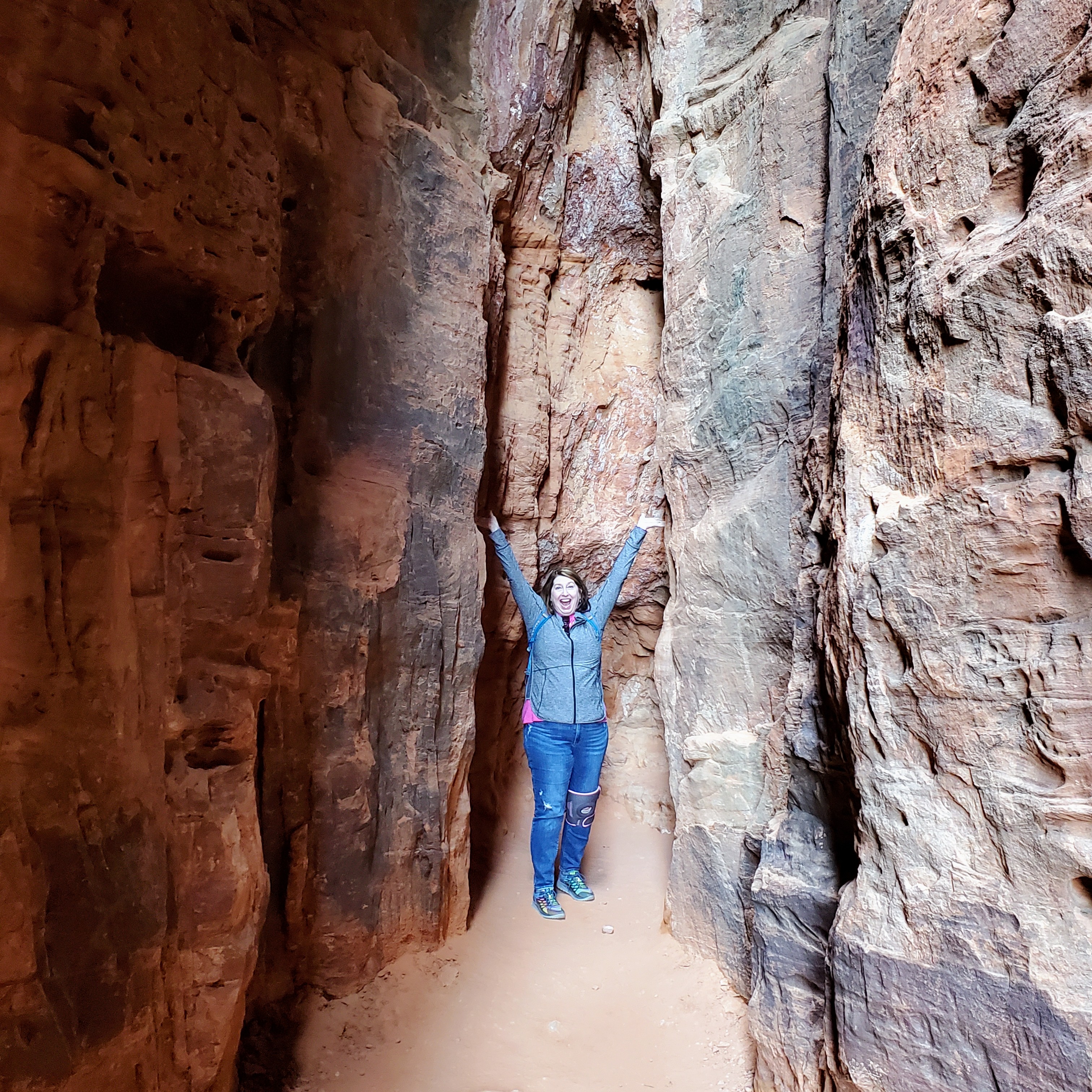
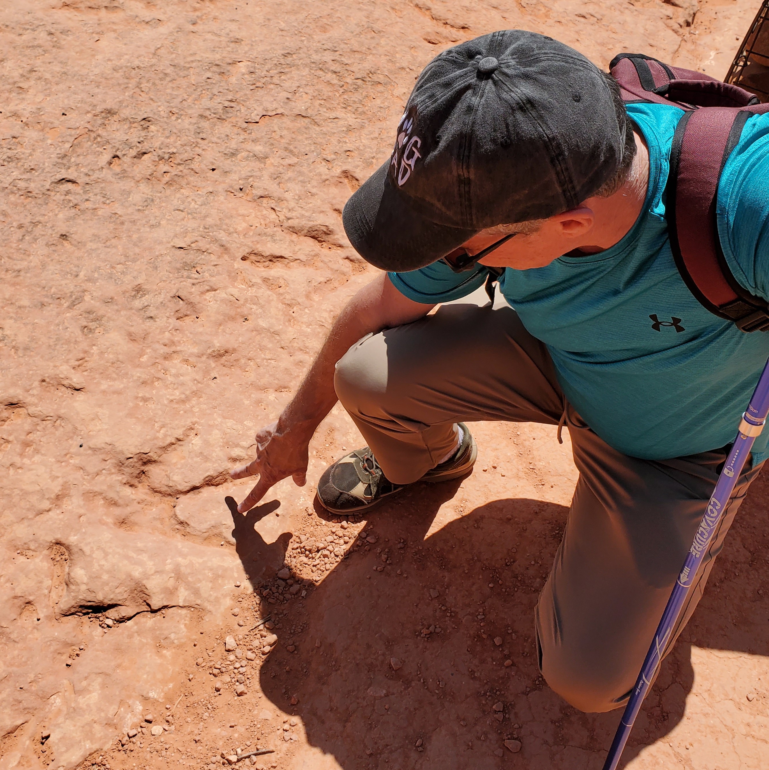
After a delicious lunch in Springdale, we drove to the Kolob Canyon entrance on Zion National Park’s western border. This section of the park is much less popular than the main part but was just as majestic. If you want to immerse yourself into the more “wilderness” part of the park, this is your place. The towering rock formations, finger canyons, arches and quiet scenic trails of Kolob Canyon are a forty-five minute drive from the more trafficked south entrance. The main park road, the Kolob Canyon Road, is just five short miles but encompasses soaring red canyon walls, stunning high desert vistas and powerful waterfalls. The rangers at Kolob Canyon also gave us directions to two nearby state parks where we saw dinosaur footprints and a slot canyon. It was a fun day!

Zion National Park was established by the U.S. government in 1909. There were indigenous peoples that called this area home for centuries. Stop by the Zion Human History Museum (shuttle stop #2) for a better understanding of the park’s history. Artifacts from Native American tribes that inhabited this area date back to 7000 BC. I find that many of our National Parks have an interesting, albeit a sometimes “dark” history, and this one is no exception.

It is no wonder to me now why Zion National Park is one of the top-rated parks in the United States. It is most deserving of its popularity! Zion turned out to be an easy place to visit. The main canyon is relatively small which means you can see most of the popular sights in just one day. However, you could spend days or weeks in the large backcountry part of the park, if you so choose.

If you want more challenging hikes with epic views or if you are like me and want a more relaxed visit with easier hikes, Zion will most likely leave you starry-eyed and wanting more. There seems to be something here that appeals to everyone – even this old dame with a bum knee!

I’ll see you on the trail.

Valley of Fire

Overton, NV

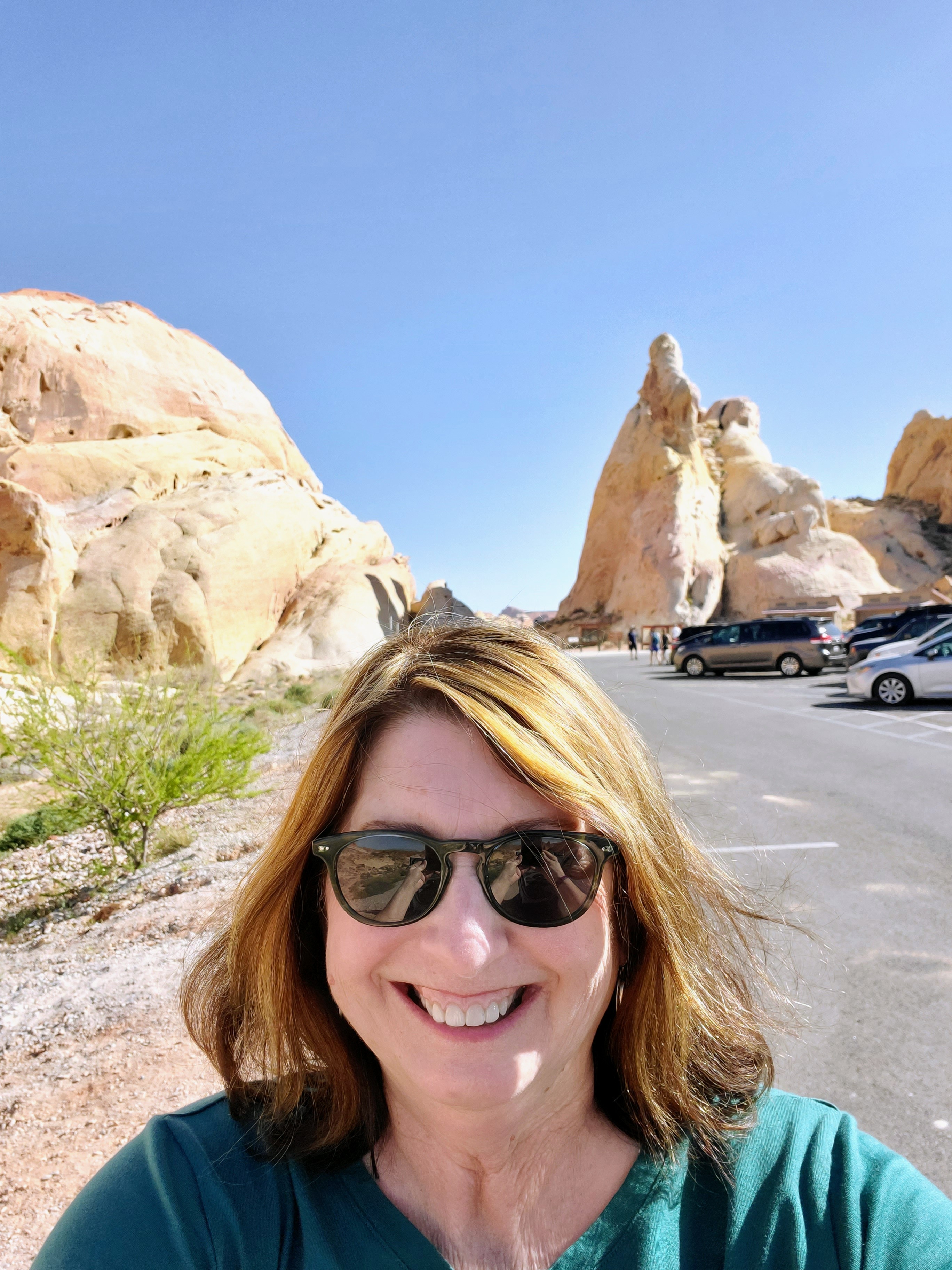
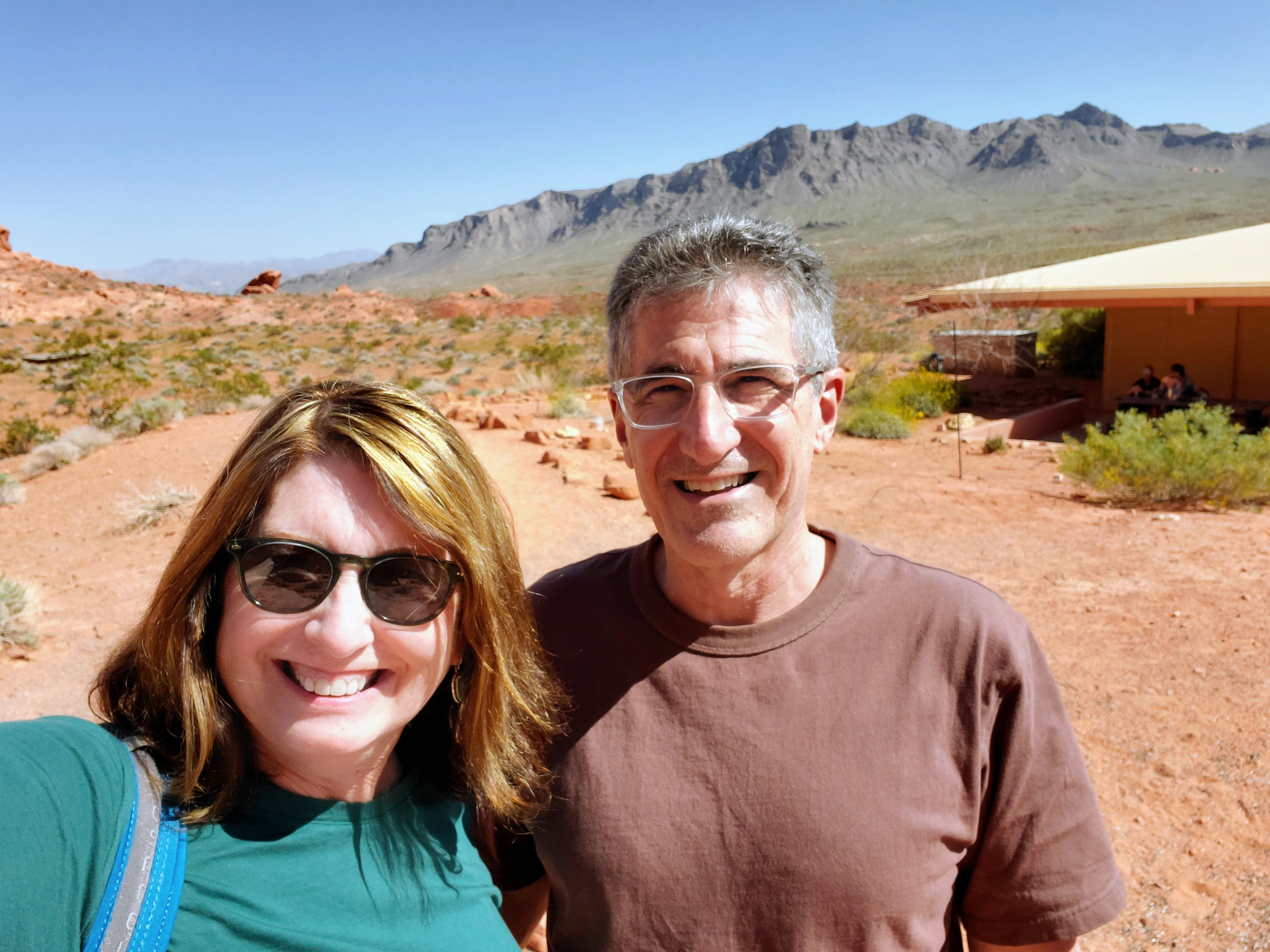
On the drive from Las Vegas to Zion National Park, there is a little jewel of a state park called Valley of Fire. This is Nevada’s oldest and largest state park and well worth a visit. The entry fee for a non-resident vehicle was only $15.00.

We entered the west entrance on Valley of the Fire Road and enjoyed many of the sights on the drive in. After a stop at the Visitor Center to get our bearings, grab a map and formulate a plan, we were on our way. The drive through the park was actually a loop so it was easy to see everything and make stops from the main road.

One thing that instantly stood out on our drive in the park were all the colorful flowers. Who knew that there would be so many desert plants in full bloom? We also spotted lizards, hummingbirds and chipmunks along many of the trails and rocks. Very interesting flora and fauna!

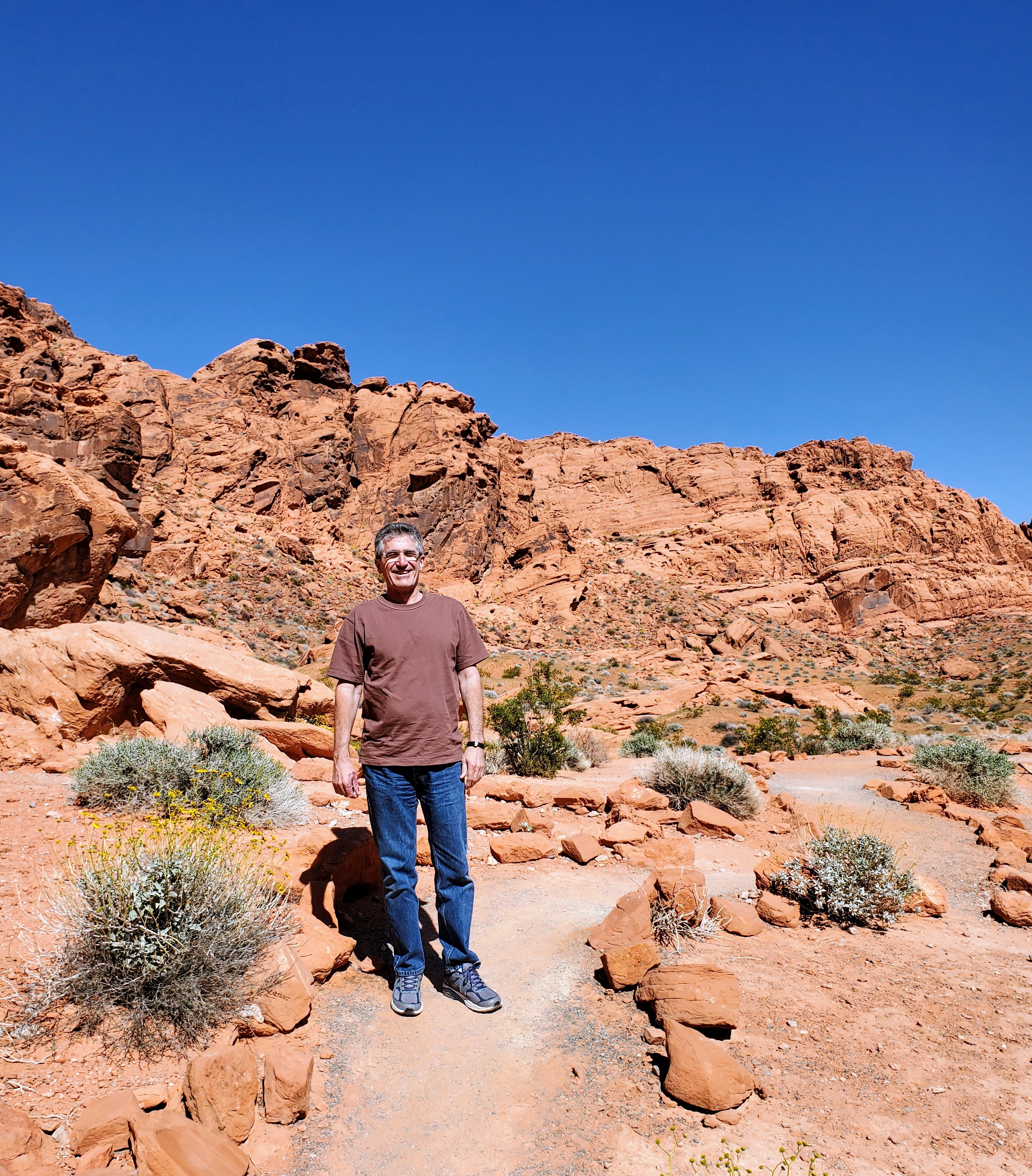
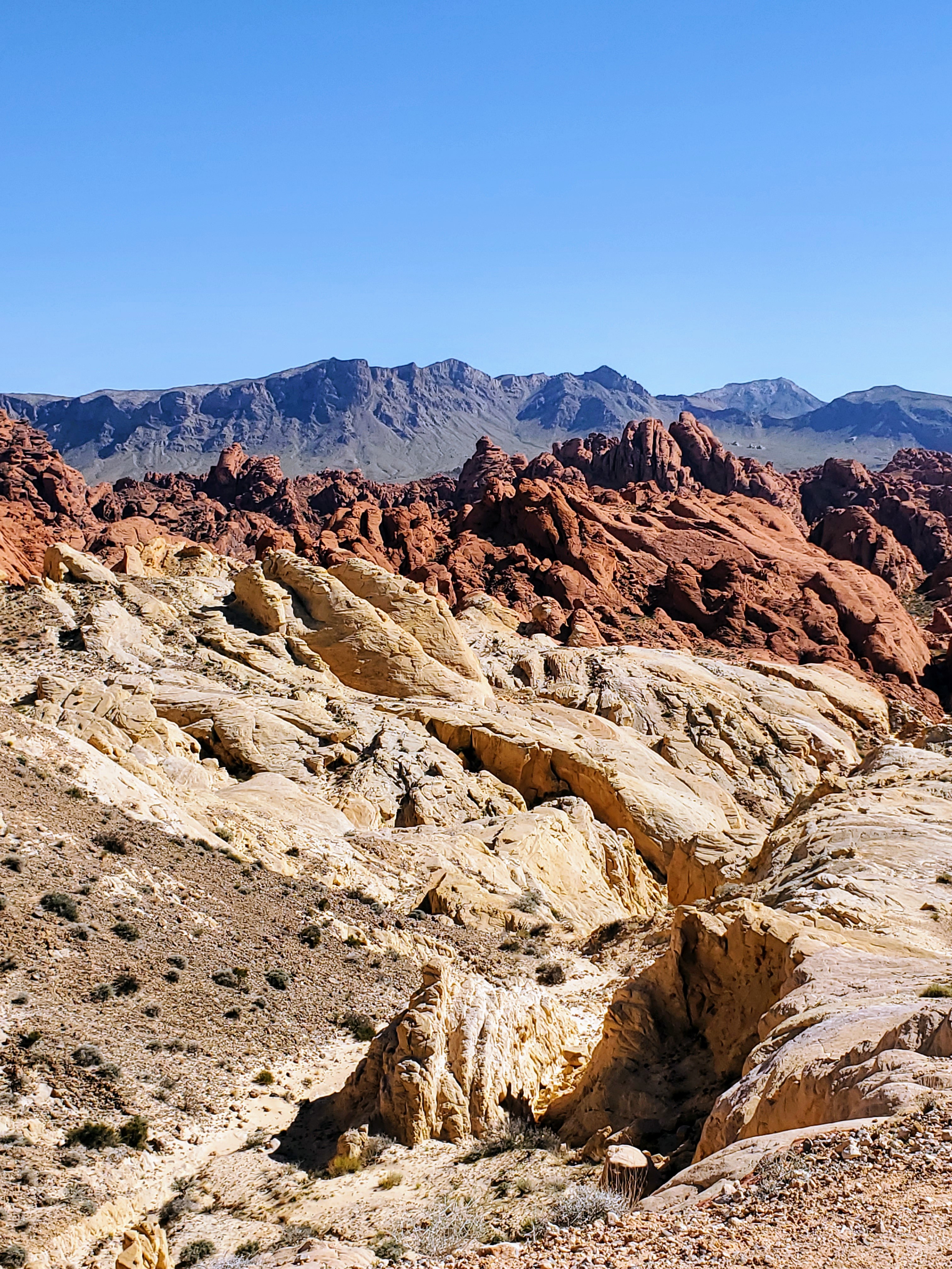
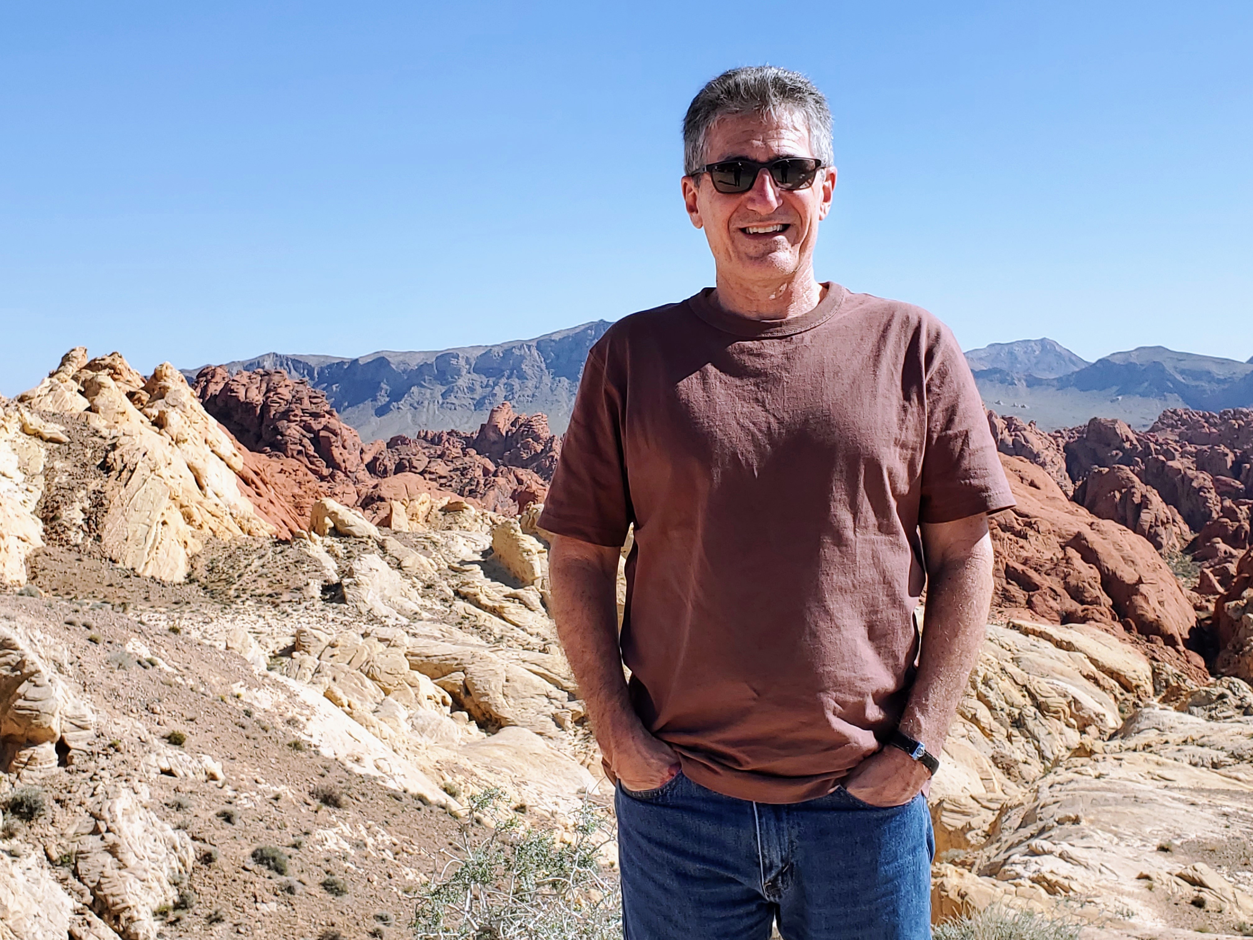
The landscape and rock formations throughout Valley of the Fire were quite unique. Each scenic mile we drove into the park differed from the last. The limestone and sandstone colors ranged from light beige to chocolate brown with a lot of yellows, pinks and oranges in between – a virtual rainbow of sorts.

This part of Nevada was once covered by a prehistoric sea before this particular area became covered with sand dunes during the age of dinosaurs 150 million years ago. Water and wind erosion shaped the landscape into what we see today.

Native Americans lived here hundreds of years ago (AD 500 – 1100), as evidenced by their petroglyphs, found throughout the park. During this time, the climate turned quite harsh, drought set in and many relocated to survive. The area didn’t become popular again until the early 1900s after travelers discovered this remote wonderland filled with strange but colorful rock formations.

As we drove through the park, we noted that some of the rock formations were spiky and rough while many appeared to be “melting and runny.” There was variety around every turn and the landscape changed drastically. There were balanced rocks, arches, petrified logs, canyons, overlooks, domes and cliffs. The park got its name, Valley of Fire, from the evening “glow” many of the red rock formations have at sunset. It was an unworldly and very unusual landscape and I could easily picture Sci-fi movies being filmed here.

I highly recommend a stop at this park on the way to/from Zion, Las Vegas, Lake Mead or Hoover Dam. We spent around two hours here and I wish we had had more time to hike some of the trails and had been more prepared to do so. I still have no regrets doing mostly a “car” tour and we got to see many beautiful sights. Two thumbs up!

Hot Springs

Arkansas

natural hot springs

My husband and I just visited Hot Springs for the first time. We have driven past the exit to Hot Springs on I-30 dozens of times going to visit family in Tennessee and Mississippi but never actually stopped there. It was finally time to check it out.

Lookout Point Lakeside Inn – lake view

I researched hotels and rentals before finding the perfect place for us. Reviews for the Lookout Point Lakeside Inn caught my attention and ended up being a fantastic place to stay! They are ranked the #1 Hotel in Hot Springs (Trip Advisor), #2 Most Romantic Hotel in the U.S. (Trip Advisor), #3 Small Hotel in the U.S. (Trip Advisor), one of the Top Ten Most Romantic Hotels in the U.S. (NBC Today Show), a Top Ten Best Lakeside Hotels (Good Morning America) and #9 Hotel for Service in the U.S. (Trip Advisor). It didn’t take too long for us to see why this beautiful inn had received all these accolades. The service, staff, location, amenities, design, food, rooms, gardens, and views were all exceptional.

our balcony view at the inn

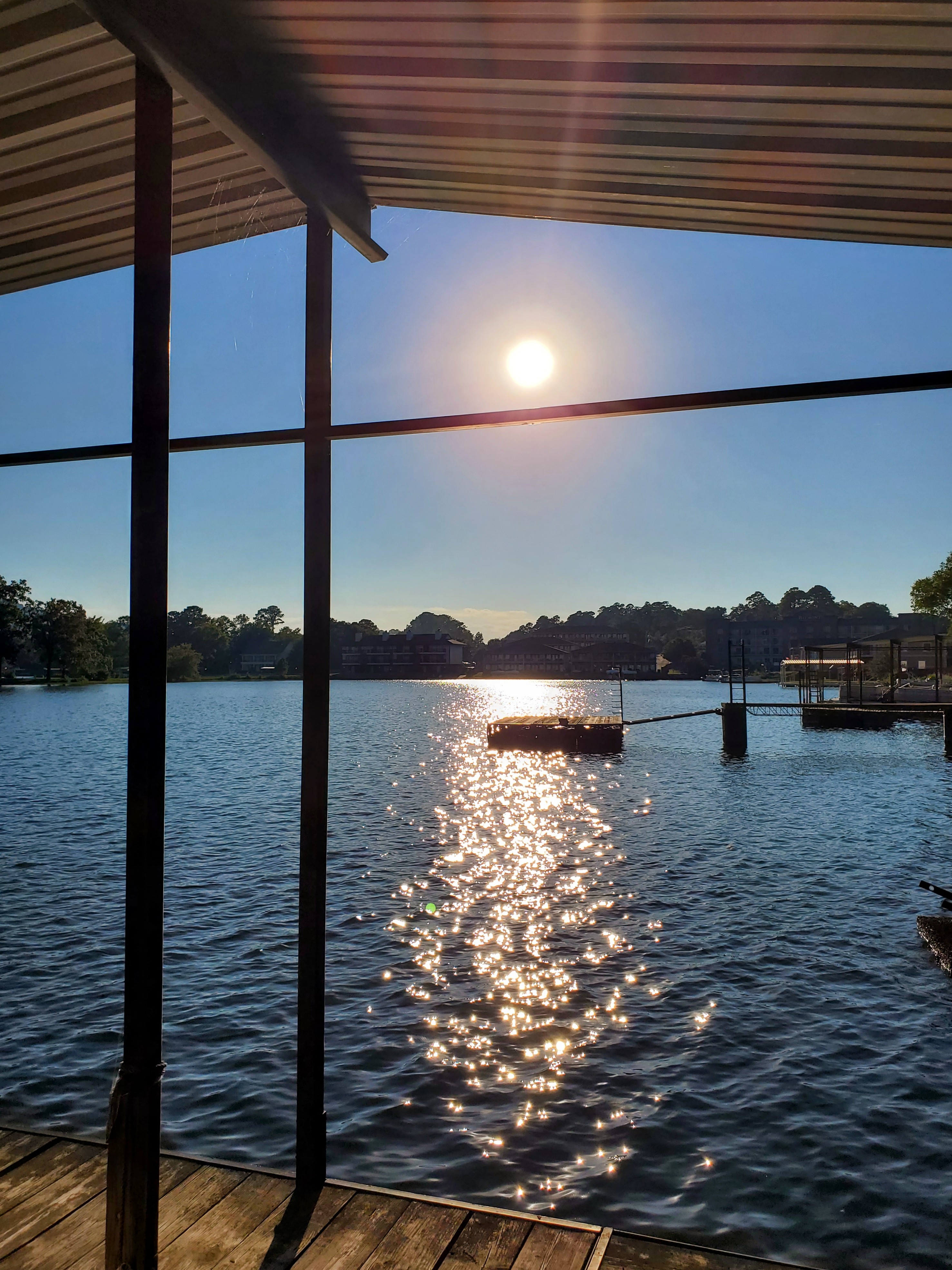
My husband and I particularly enjoyed the gourmet breakfasts in the beautiful dining room and the fresh gluten-free cookies brought to our room each day. Our second floor room and balcony looked out over the manicured gardens, waterfalls, bird feeders, grassy labyrinth, fire pit, boat dock and lake. It was perfect for relaxing. We had a paddleboat, canoe and kayaks for our personal use. The inn also provided us with bug spray, beach towels, DVD movies, hammocks, emergency flashlights, soft drinks, cookies & chocolates, and a Keurig for coffee/tea/hot chocolates. The kitchen was open each day until 7:00 p.m. for snacks, meals, cocktails or wine. The staff was friendly, attentive, and very professional. We had a wonderful stay and I highly recommend this charming, quiet and well-decorated inn.

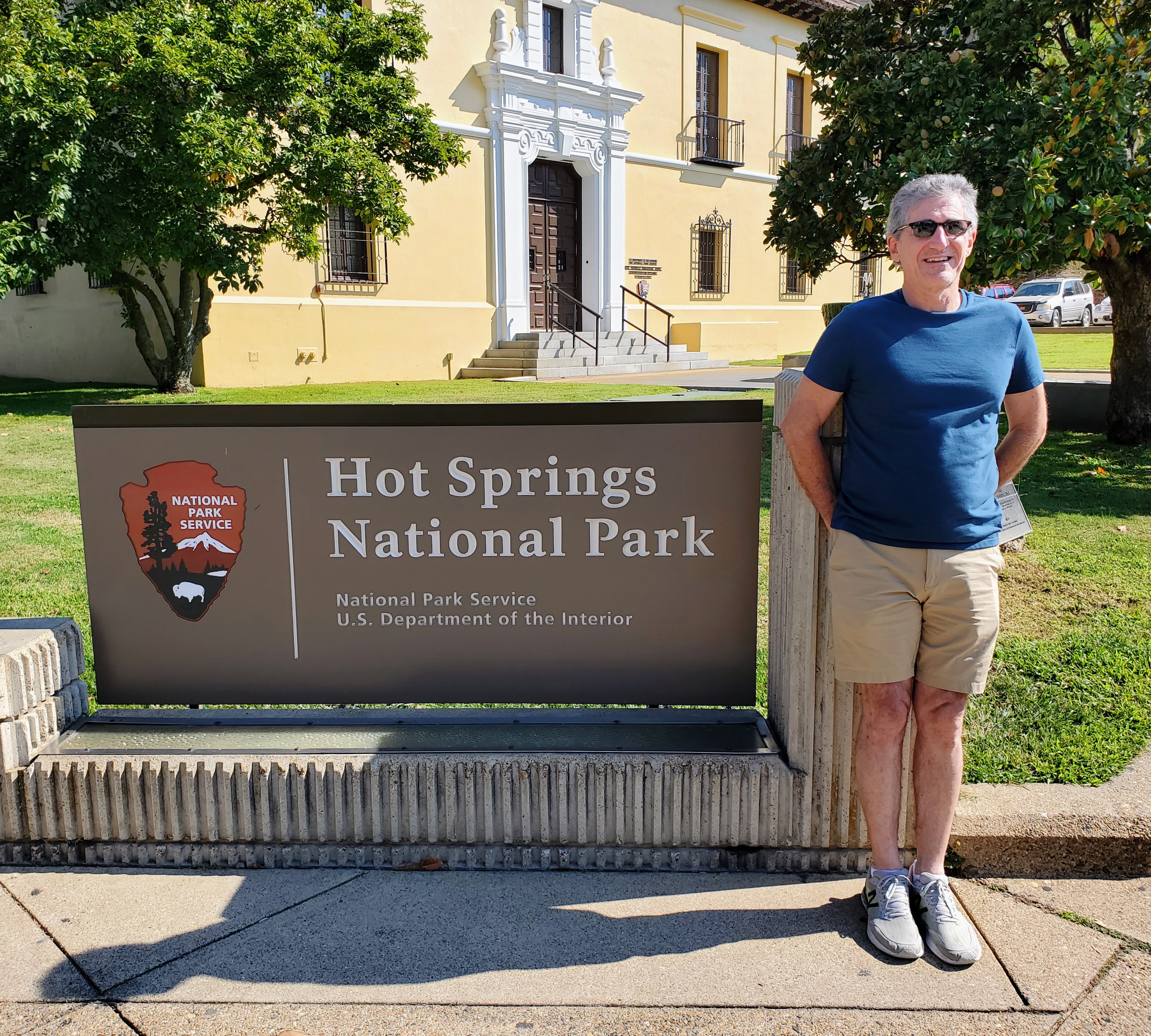
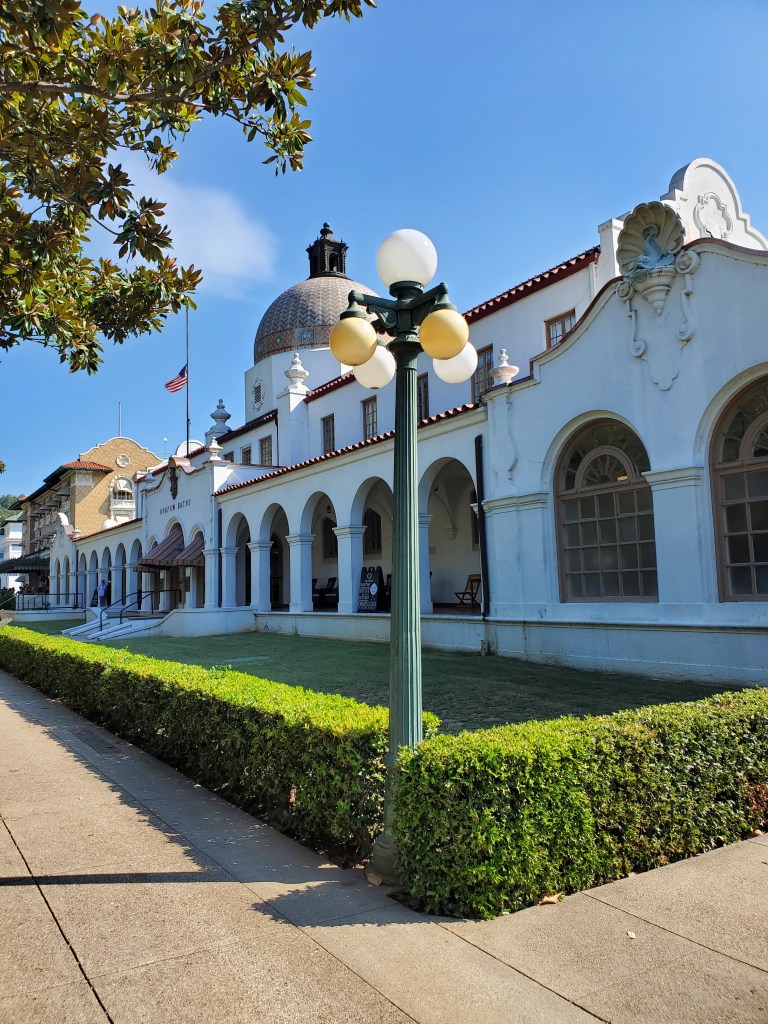
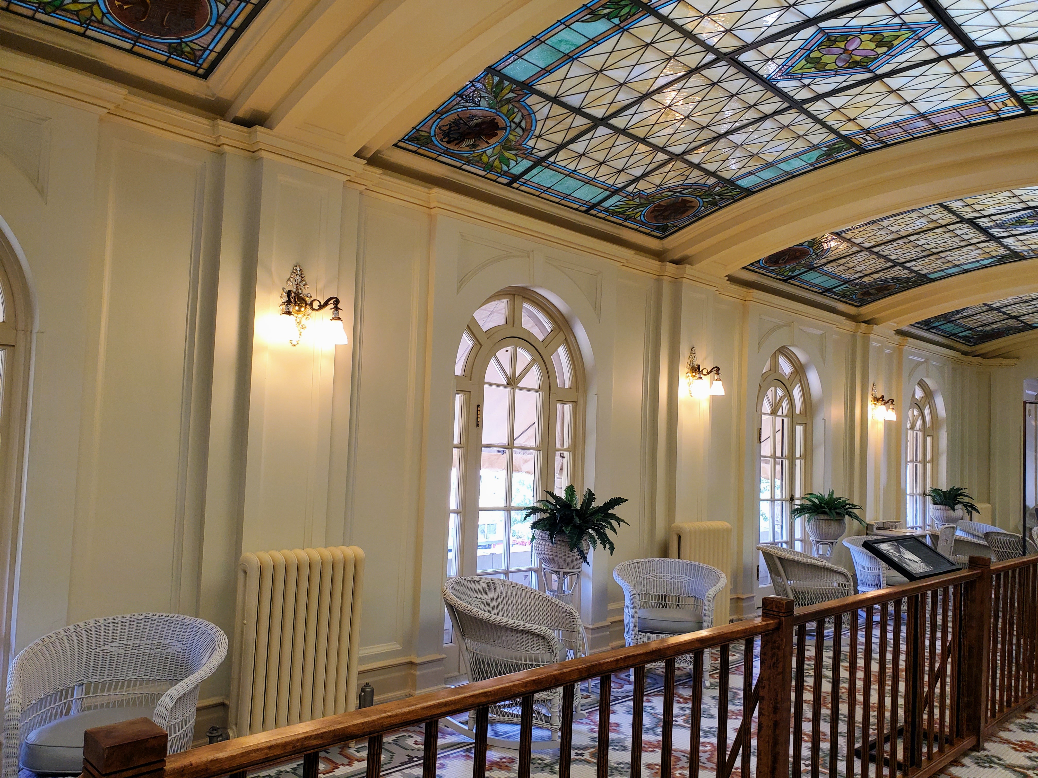
Our first full day was set aside to explore the Hot Springs National Park. This is an urban park located in the heart of downtown Hot Springs and is surrounded by shops, diners, busy roads, gangster museums and tourist attractions. The bathhouses lined up on Bathhouse Row seem to be the park’s most popular attraction. The grand architecture of these eight bathhouses and the stories of the healing waters continue to attract curious visitors as they have since the early 1900s. The therapeutic spas, ancient thermal springs, mountain views, unusual geology, forested hiking trails, and abundant creeks all make this “park” quite unique.

We stopped by the Fordyce Bathhouse which houses the National Park Visitor Center and toured the museum. The three-story bathhouse has informative exhibits, original spa rooms (with equipment) and a short film about the history of the area and Bathhouse Row. We got a more detailed glimpse into the history, grandeur and attraction of this special place. Afterwards, we joined a 45-minute tour led by a National Park Ranger.

the beginning of Bathhouse Row

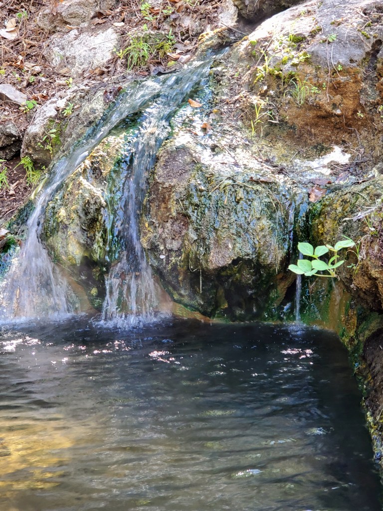
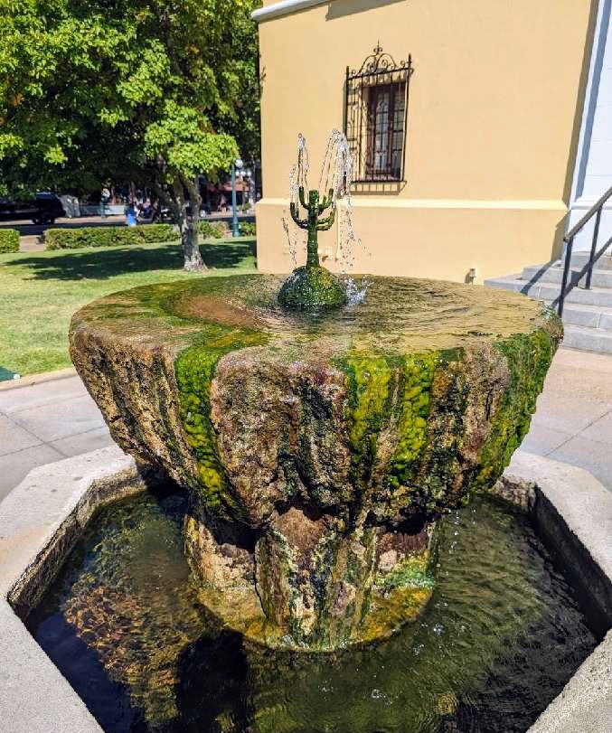
Ranger Lisa was great! She was a Hot Springs native and her walking tour was both interesting and entertaining. We learned about the geology of the area, tasted the 140 degree water, walked the Grand Promenade (on the hill behind Bathhouse Row) and saw a momma groundhog and her baby. We were told that the thermal waters contain potassium, magnesium and sodium – these were the medicinal properties that prior generations found to be so “healing” (today we just take a multivitamin!). Generations ago, most people had poor diets and dirty drinking water. Regular bathing was labor intensive due to large amounts of water having to be carried from the source and then heated. It was quite obvious what was so appealing about these natural springs with clear, clean, nutritious, and heated water just bubbling out of the ground.

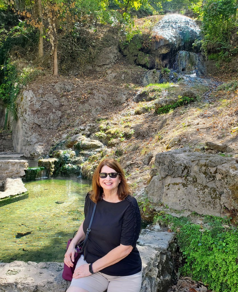
the Hot Water Cascade

Only two bathhouses along Bathhouse Row are currently operational. One of the bathhouses, Superior Bathhouse is now a restaurant and brewery. This is the only brewery in the world that uses thermal spring water to create craft beers. We chose this as our lunch spot and it didn’t disappoint! The other bathhouses currently function as a hotel, a park store, a cultural center, and office building.

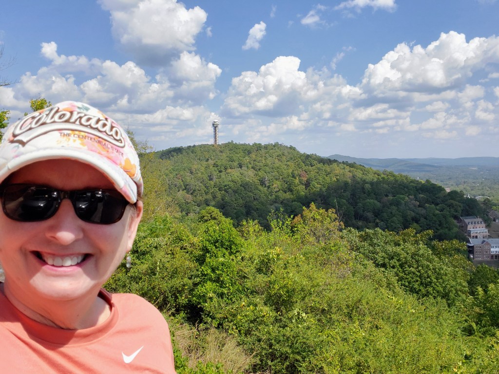
After lunch, we continued touring the park and drove up the winding Mountain Tower Road and West Mountain Road. Both drives provided scenic forested drives and great mountain lookouts. We had clear, beautiful views of Hot Springs and the Ouachita Mountains. For the more adventurous, there are almost 30 miles of hiking trails within the park boundaries that wind up, down and around these mountains overlooking the city. We decided to bypass hiking this time and just enjoyed the scenery from the comfort of our air-conditioned car (it was a humid 97 degrees in late September!).

view from the West Mountain of the Hot Springs Mountain Tower

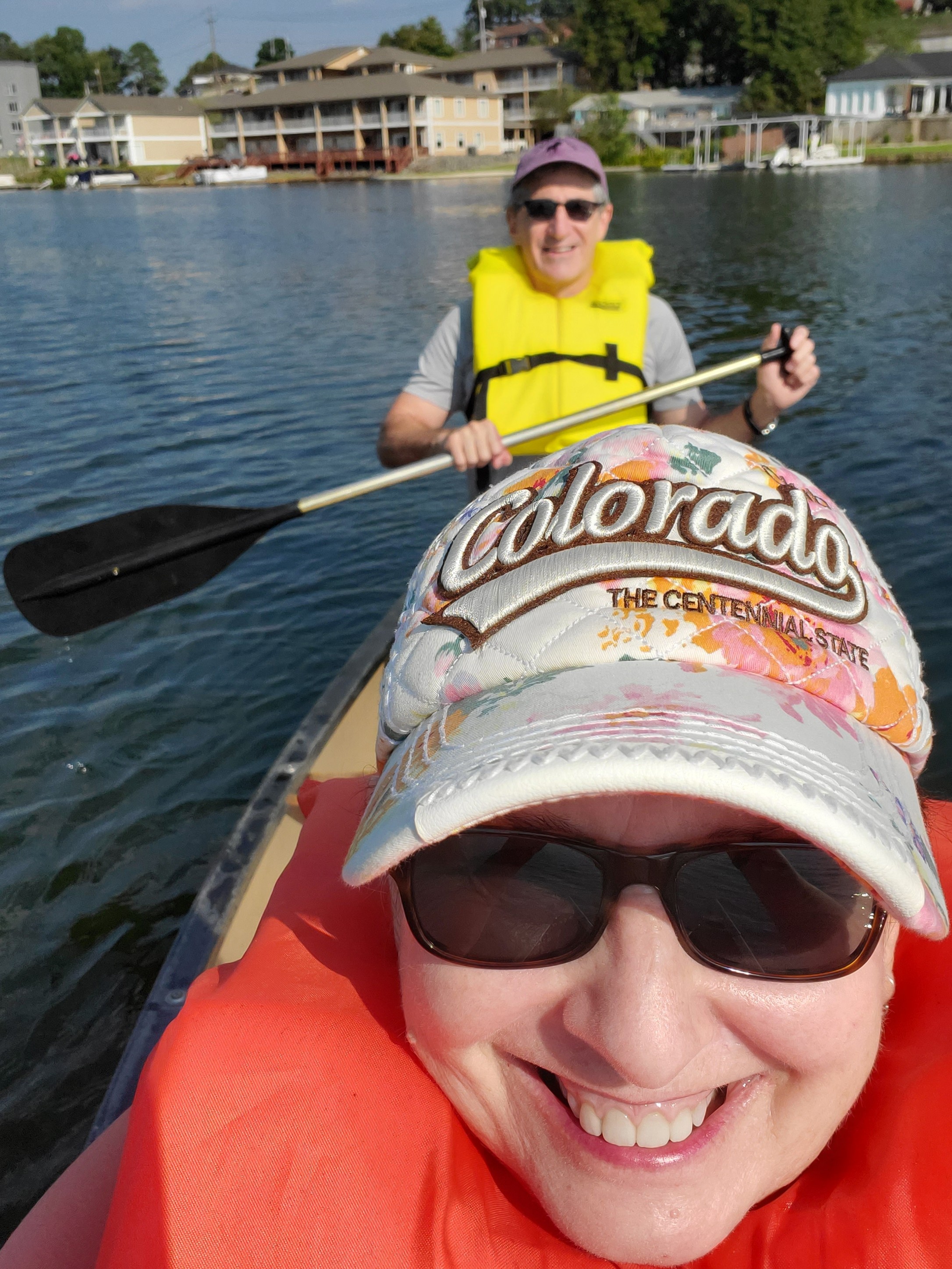
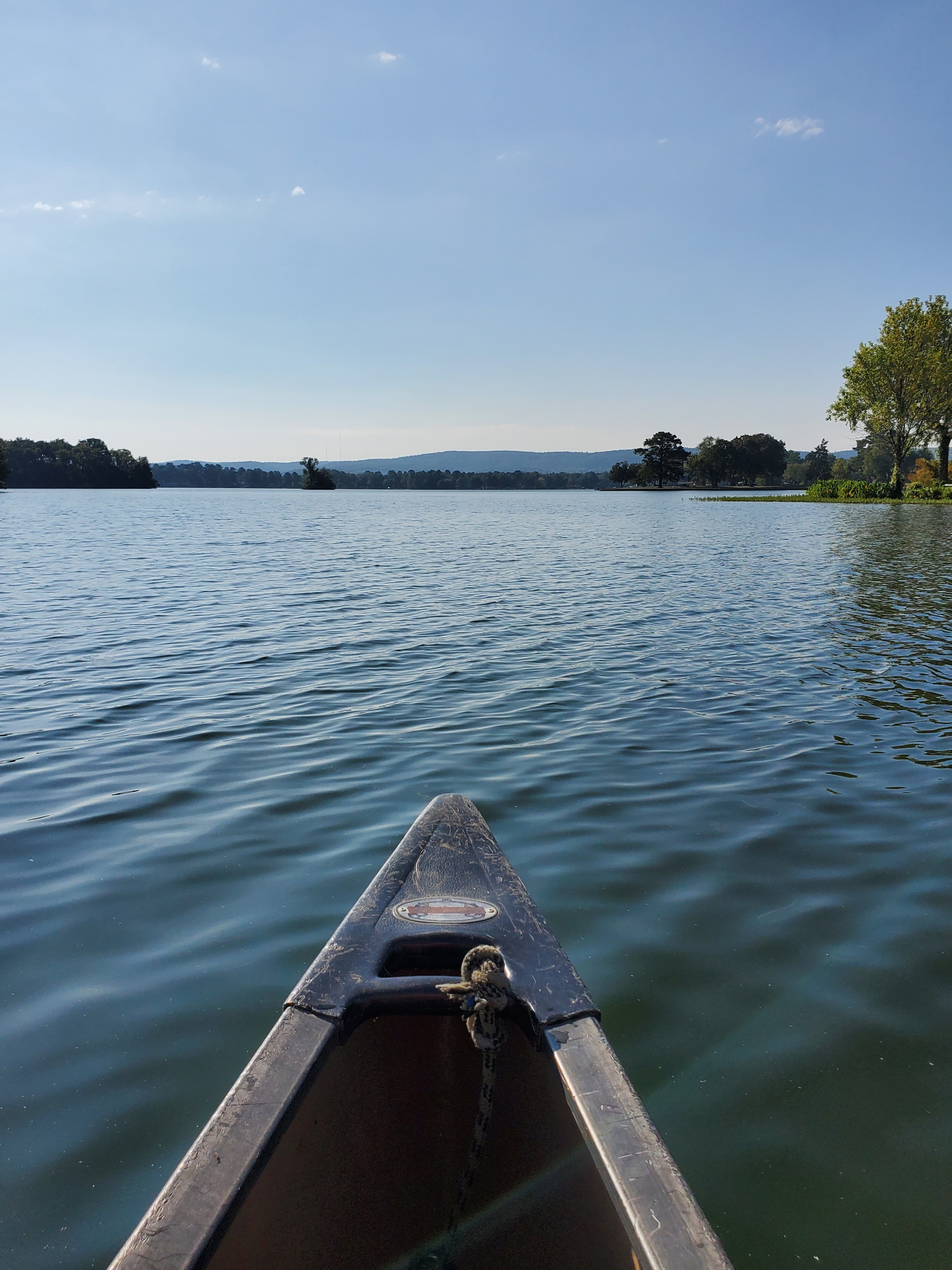
Day Two – we decided to beat the heat, get an early start and canoe from our inn’s dock on Lake Hamilton. After another wonderful breakfast, we grabbed lifejackets, paddles and loaded up in a canoe. It was a beautiful day and the water was clear and calm. We explored the part of the lake and small islands scattered just off the shore from our inn. It was fun!

A couple of hours later, we were off to Garvan Woodland Gardens, a 200-acre botanical garden that is sponsored by the University of Arkansas. It was a short drive away and we got there early to beat the heat and the crowds.

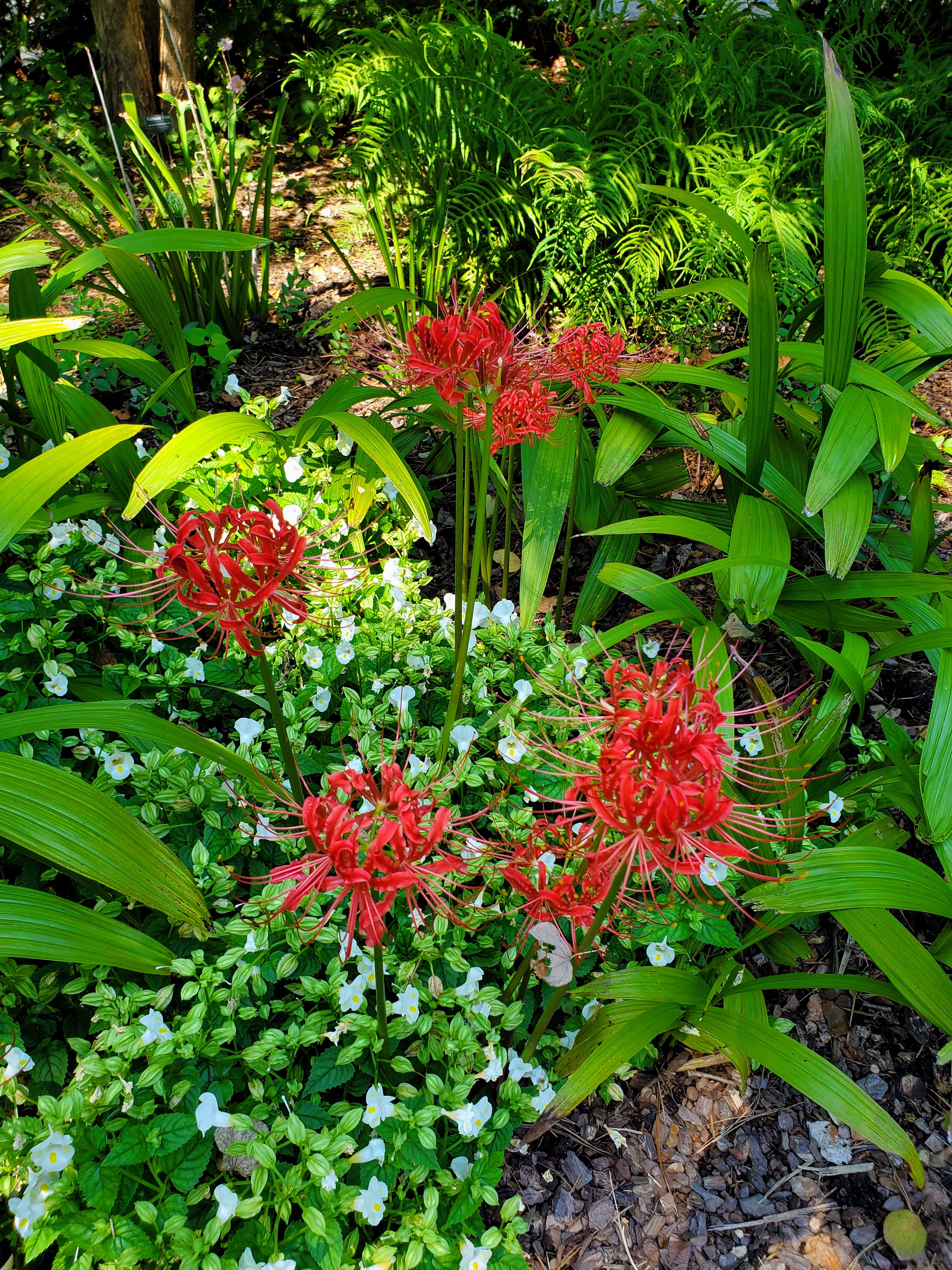
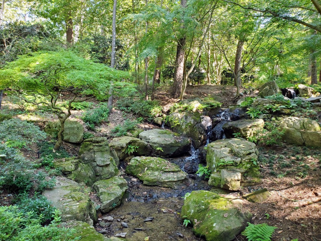
Garvan Woodland Gardens was most enjoyable. The paved pathways through the flower gardens, waterfalls, dense ferns, towering pine canopy, rocky inclines, koi pond and the wooded shoreline provided beautiful sights at every turn. There are 4 miles of trails covering this entire garden so wear comfy shoes! We didn’t see every nook and cranny but hit all the major points. It was a fun spending the day outdoors.

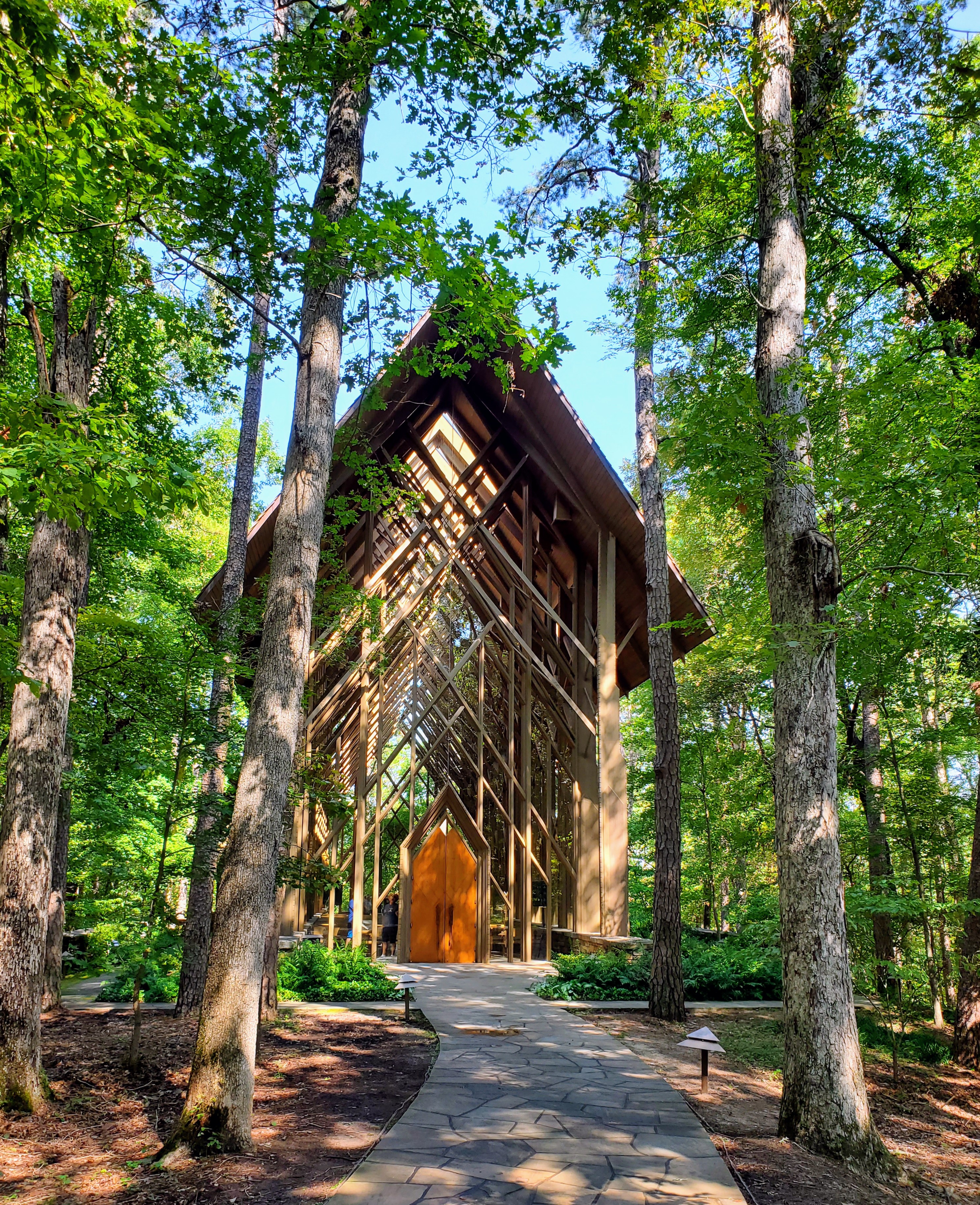
I particularly enjoyed viewing the Anthony Chapel (just didn’t care for the two snakes that greeted us on the way there!). This stunning chapel appears to “be one” with the forest. The lofty pine columns, high ceiling, tall glass windows and oversize skylights all are designed to blend in with the surrounding pine trees. It was quite impressive – both inside and out. I could only imagine how beautiful a wedding ceremony would be here and certainly understood the popularity of this venue.

One of my favorite parts of any trip is the food! We began each day with a great breakfast at the inn. We had one lunch at Superior Brewery where I had a delicious Sweet Potato Salad and a Root Beer Float (with house-made root beer). Another enjoyable lunch was at Rolando’s Restaurante (near Bathhouse Row) where we enjoyed Ecuadorian food and flavored margaritas. Yum!

We found a couple of very good dinner spots in Hot Springs. The Vault (my favorite) was located in an old bank building near downtown Hot Springs. It was classy, dark and well-decorated. The menus had a backlight, which I thought was ingenious! David and I thoroughly enjoyed a delicious steak dinner here. The ambiance, service and food were all topnotch. A dinner at 501 Prime was also a standout. This restaurant and bar (known for its bourbon) served some great oyster dishes and we had exceptional service. A very special “treat” was a cupcake from Fat Bottomed Girl’s Cupcake Shoppe. I knew of this bakery from the Food Network Cupcake Wars competition. There were dozens of flavors to choose from and it was very difficult picking out just one. Decisions, decisions. Ooey Gooey Butter Cake was my final choice. OMG, it was good!

a backlit menu – so cool!

Hot Springs was a great weekend get-away for us. I really enjoyed seeing and learning about the bathhouses, the natural springs and the history of the park. Without a doubt, I would stay at the Lookout Point Lakeside Inn again. Heck, I would even drive three hours again for one of those cupcakes!

Happy travels!


Glacier National Park

Montana

view at Logan Pass

I have an unhealthy fear of bears. The grizzly bear attack in the book/movie “The Revenant” still haunts me to this day. With that being said, why in the world did I choose Glacier National Park as a vacation destination? This is the one park where your chances of running into a grizzly bear or black bear on a trail, on the road, or in a parking lot are well above zero. Bear spray is a necessity at all times. Just great. What had I gotten myself in to?

I planned an itinerary, booked a cabin and rental car, got our park passes, purchased our vehicle registration, reserved our park road permits, booked flights to Kalispell, and my husband and I were off to great adventures. Montana, here we come. A canister of bear spray would become my newest and most valuable accessory.

West Glacier entrance

Why did we choose to visit Glacier National Park in spite of the bear population? Glacier National Park is one of the most beautiful of the US national parks and is nicknamed the “Crown of the Continent.” The park encompasses over one-million acres of glacier-carved peaks and valleys, two mountain ranges, pristine turquoise lakes and streams, meadows full of wildflowers, numerous waterfalls and ancient evergreen forests. It was established as a national park in 1910 after the Blackfeet tribe ceded the area to the government. Glacier National Park is the 10th most visited park (3.1 million annual visitors) making it not only one of the most beautiful, but also one of the most popular national parks to visit in the United States.

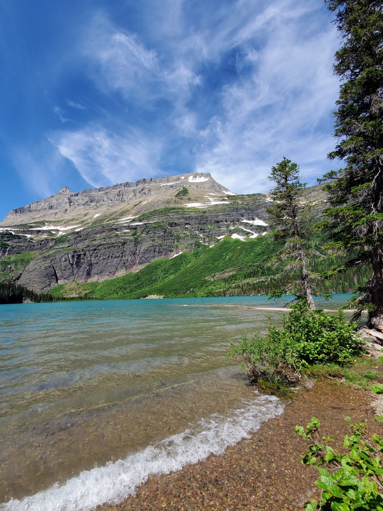
Grinnell Lake in Many Glacier

More park visitors over the last couple of years caused restrictions to be put in place that prevent overcrowding within the park, hence purchasing vehicle passes/registrations was necessary prior to our trip. We appreciated that the crowds were very manageable throughout our visit and we never had long lines or traffic problems.

tunnel on Going-to-the-Sun Road

There is one main highway that cuts through the center of the park, the Going-to-the-Sun Road (GTTSR). The scenic GTTSR connects the west entrance to the park with the east entrance (50 miles/2 hours drive time). We drove it easily and without any access issues due to the pre-purchased passes that were required for each vehicle driving within the park boundaries.

our cozy little cabin

I found us a great little Vrbo rental in Essex, Montana that bordered the southern edge of the park, perfectly located about halfway between the west and east entrances to the park. The cabin was clean, cozy, comfortable and well-stocked. We cooked breakfast each morning, packed up our picnic lunch, went on our daily adventure, and returned each evening to cook/grill our dinner. A large mule deer welcomed us on our very first morning and a mink and chipmunks scampered around near our firepit each day. We had found a great little “home away from home.”

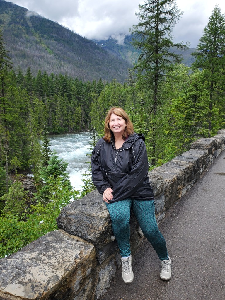
behind Lake McDonald Lodge
the beautiful lobby at Lake McDonald Lodge

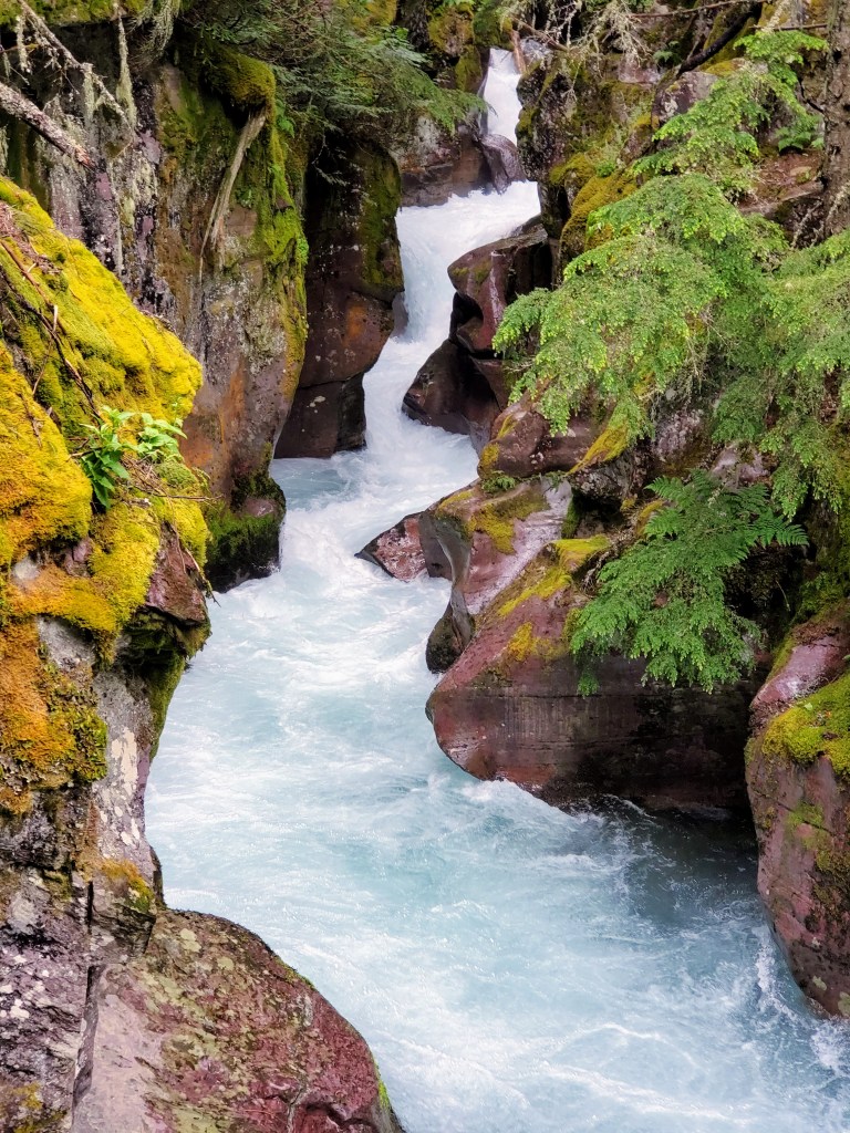
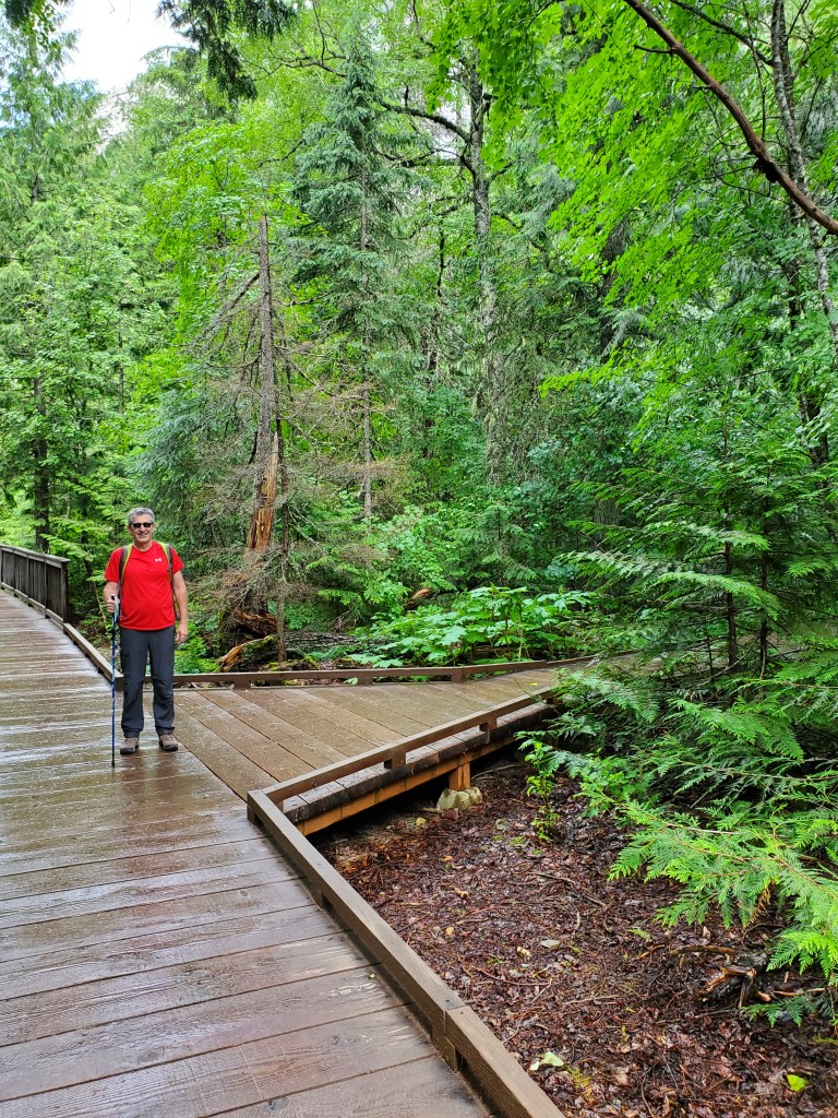
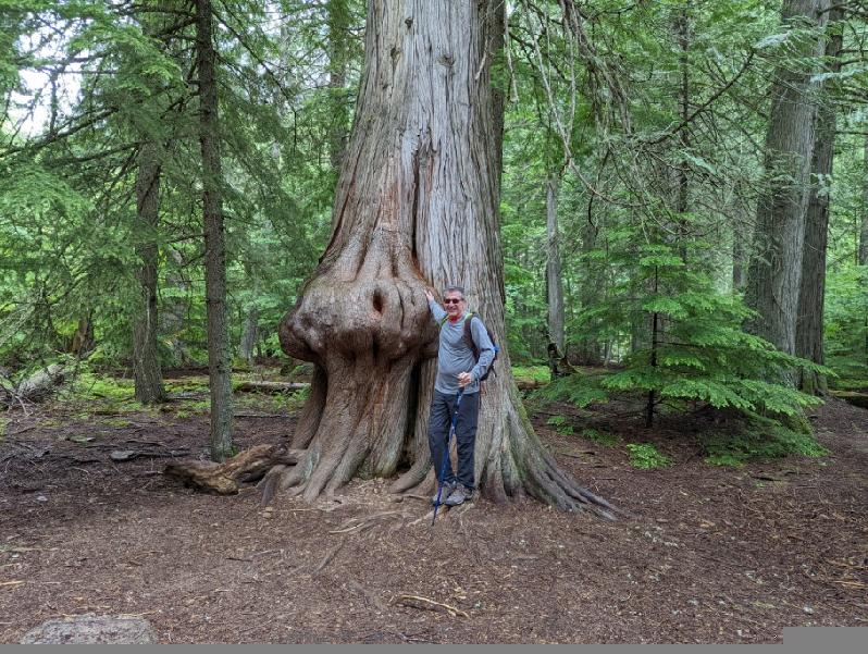
Day #1 – We drove through the West Glacier entrance that morning and headed to Lake McDonald, the largest lake in the park. We explored the historic Lake McDonald Lodge (built in 1914) and grounds before taking a boat ride on the beautiful lake. After a picnic lunch, we drove the Going-to-the-Sun Road and stopped at several turn-outs to view McDonald Creek and the amazing scenery along the way. Mid-afternoon, we parked and hiked The Trail of the Cedars. This was one of our favorite hikes! The trail was a raised boardwalk or gravel trail that winds its way through a thick forest of towering cedar trees. The highlight for us was the view of Avalanche Gorge from the trail with its turquoise water tumbling down colorful moss-covered rocks. The damp weather made it feel like we were exploring a rainforest. Even though it was a drizzly afternoon, nothing could take away from the beauty of this trail. We loved it!

Avalanche Gorge as seen from the Trail of the Cedars
hiking the Trail of the Cedars

Walking back to our parked car after our hike, we heard our names being yelled from the parked car at the crosswalk. Really?! The people in the car were actually close friends from our hometown in Texas. One million acres of national park, 1749.5 miles away from home, and we happened to be at the exact same place at the exact same time. It was just plain weird! All you math geniuses can figure out those odds – it hurts my head just to think about it.

Mick & Lisa Tune, our friends from Rockwall, Texas
McDonald Creek along the GTTSR

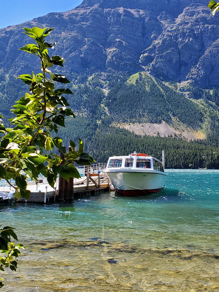
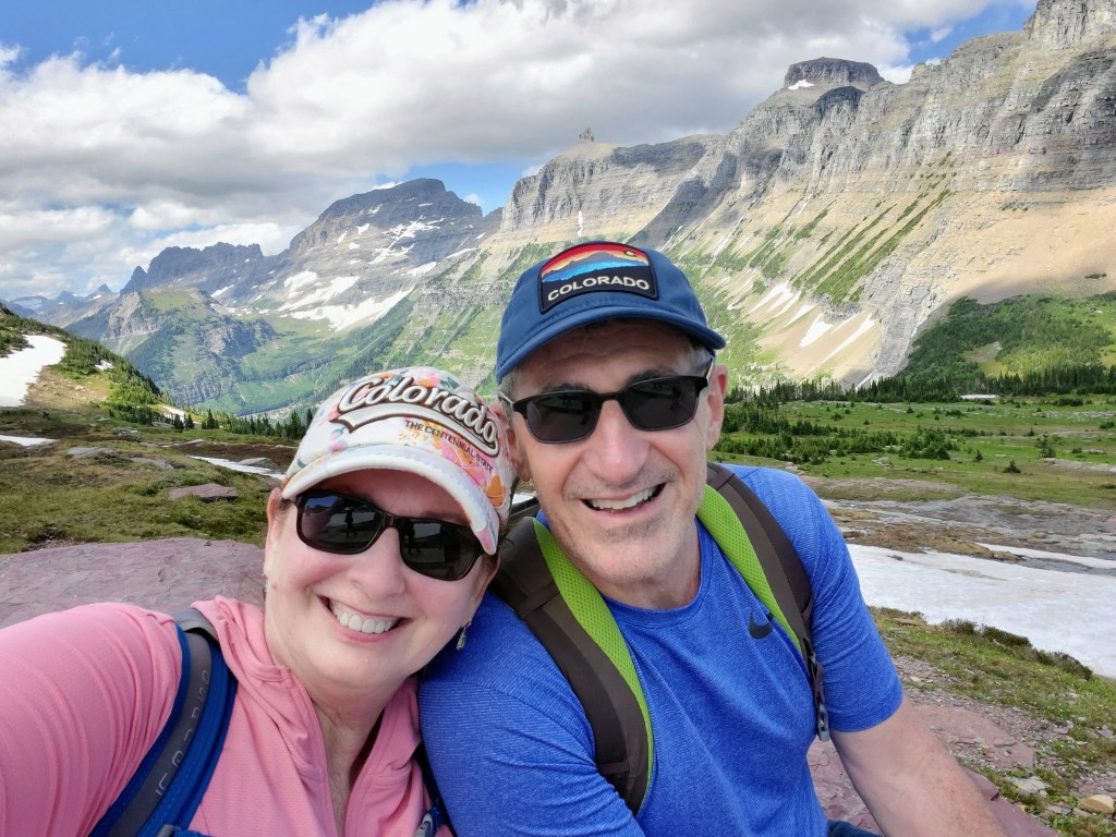
Day #2 – We got an early start and drove east to the park’s St. Mary’s entrance. We had a morning boat ride scheduled on beautiful St. Mary’s Lake that included a hike to a waterfall. It was a gorgeous day and we enjoyed our morning adventures. David and I found a little restaurant nearby in the park and had a great lunch (huckleberry pulled pork stuffed baked potatoes!) and continued our drive on The Going-to-the Sun Road with a few scenic stops along the way. We found ourselves at Logan Pass that afternoon, the highest point of the Going-to-the-Sun Road (6646 feet) and located along the Continental Divide. The road in this area had only opened 4 days prior to our visit due to the difficulty of snowplowing such late, heavy snows. The scenery at this high elevation was amazing! We parked and hiked the Hidden Lake Trail as far as we could but it was quite difficult with the packed, icy snow underfoot. Seeing all the snow, the jagged mountains, fields of wildflowers, waterfalls, marmots, ground squirrels, and big horn sheep made for a very memorable afternoon and gave us some great photo ops!

ready for our St. Mary’s Lake boat ride
selfie at Logan Pass
Bighorn sheep at Logan Pass

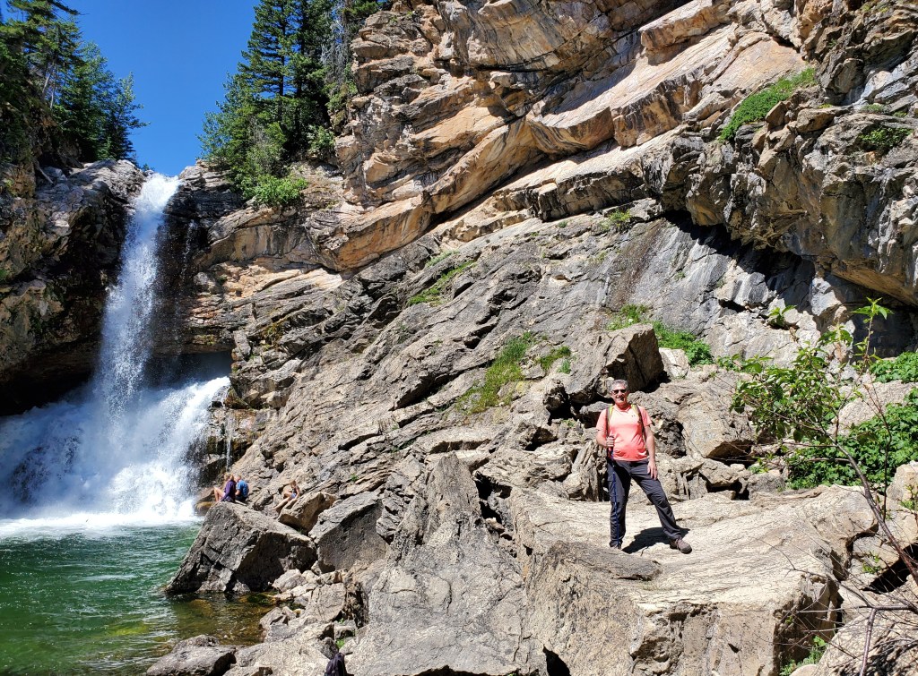
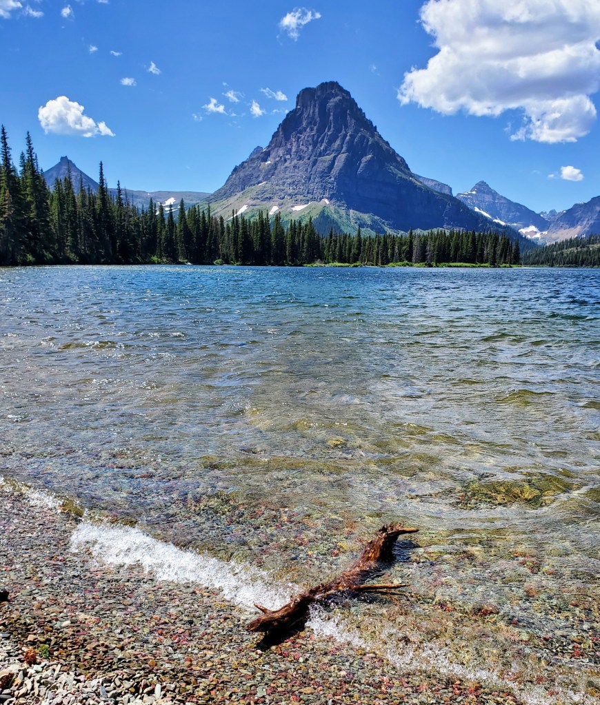
Day #3 – David and I ventured to Two Medicine, a less-popular part of the park that we entered not far from East Glacier that feels off-the-beaten-path. This day actually turned out to be one of our favorites. The drive in had beautiful views and the crowds were sparse. We hiked to Running Eagle Falls, a sacred Native American burial site that celebrates an infamous female warrior and tribal leader. It was easy to feel the spirituality of this place. The double falls were very unusual and we spent quite a bit of time here. We hiked for a bit on a nature trail and soon decided it was lunch time. We drove a short distance to Two Medicine Lake and found a table at the General Store overlooking the picturesque lake with Sinopah Mountain towering in the background. Good food, great views.

Running Eagle Falls in Two Medicine
Two Medicine Lake and Mount Sinopah

After our picnic lunch and a cold huckleberry soda, we were ready for our next hike. We parked at a trailhead and headed up to Apikuni Falls. This was a tough hike for me due to the incline and it was very hot and humid. There were very few people on this trail and we were on a constant lookout for bears. Luckily, we made it to the falls and back without getting eaten. By late afternoon, we headed back out of Two Medicine admiring the scenery and the colorful wildflowers that lined the road and meadows in this scenic valley that is adjacent to the Blackfeet Reservation.

hiking at Two Medicine

We stopped for huckleberry bear claws near East Glacier when we saw our first bear! It appeared to be a younger bear and we spotted it running through a pasture near some horses. The horses seemed a little nervous at first but soon went back to grazing. The bear found a pizza box in the pasture that fully captured his/her attention for quite a while. This is exactly how I wanted to see a bear – from a distance and from the safety of my car!

bear near East Glacier

Day #4 – This was the day we ventured to Many Glacier, located on the farthest side of Glacier National Park from our cabin. Many Glacier is on the northeast side of the park and was the most difficult to get to. With that being said, I felt it was the most scenic part of the park. We arrived at Many Glacier early in the morning to secure a parking place, which worked in our favor. We spent the morning exploring the historic hotel and grounds and enjoyed a coffee while waiting for our scheduled boat tour.

Many Glacier Hotel from Swiftcurrent Lake

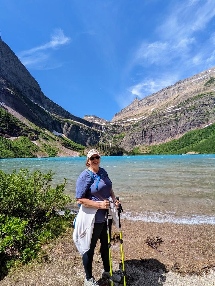
The Many Glacier boat tour was a “two-parter.” The tour began on the shores of beautiful Swiftcurrent Lake. We cruised across the lake, docked, disembarked and then walked 0.2 mile (over a steep hill) to the shores of Lake Josephine. We then boarded another small boat and cruised to the head of Lake Josephine. We disembarked there to do a self-guided hike to Grinnell Lake. This was a beautiful trail that led us through wooded areas, over streams, along narrow hillsides and over a swinging bridge before we arrived on the shoreline. Grinnell Lake had beautiful turquoise waters and was surrounded on three sides by towering mountains and snowy glaciers. It was breathtaking! David and I sat and ate a picnic lunch on a fallen log and took in all the beauty around us. We were even lucky enough to spot a grizzly bear loping through snowfields on the opposite side of the lake before it disappeared into a valley on the far side of the lake. Bear sighting number two….check! We also saw a huge bull moose standing waist-deep in Lake Josephine on our return boat trip. Wildlife abounds!

selfie at Lake Josephine
Lake Josephine with Salamander Glacier and Grinnell Glacier in background

We returned to the Many Glacier Hotel later that afternoon after an amazing day. We located the bar and treated ourselves to a Huckleberry Margarita, a snack, and a short rest before the long ride back to our cabin. Another unforgettable day was in the books.

hiking to Grinnell Lake from Josephine Lake

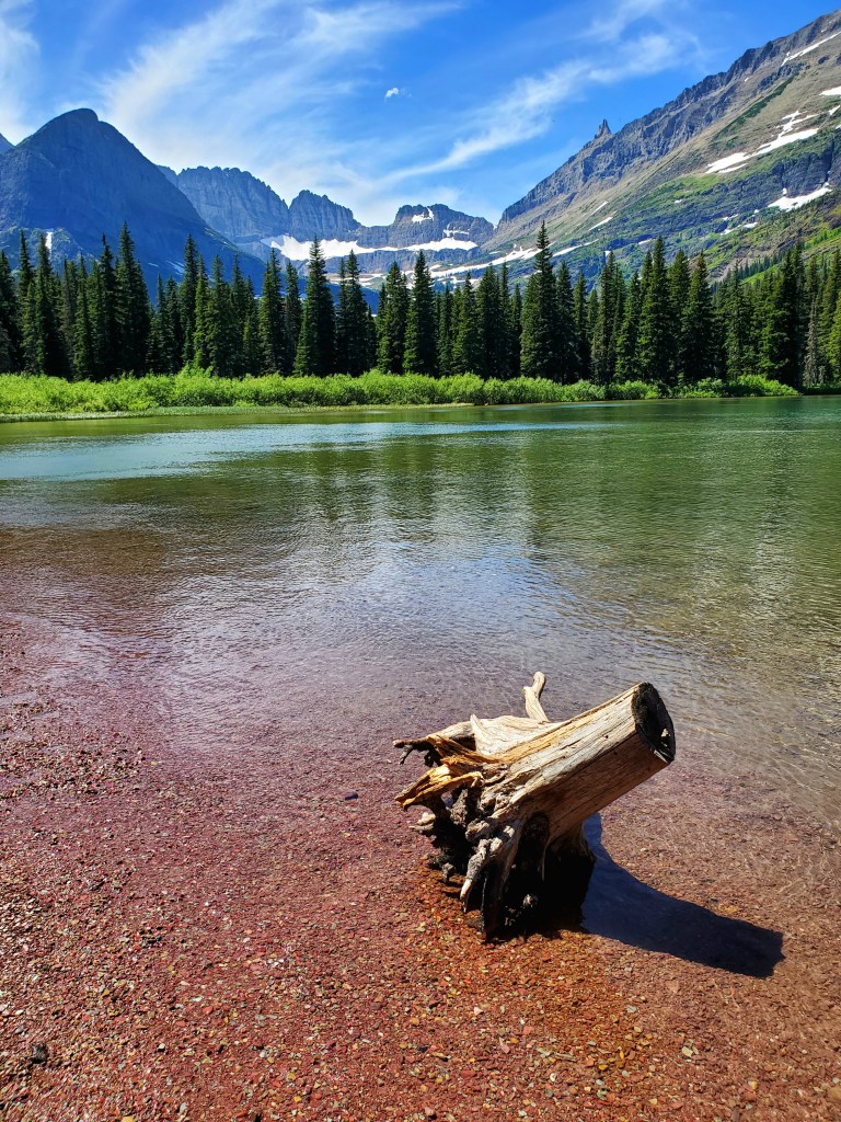
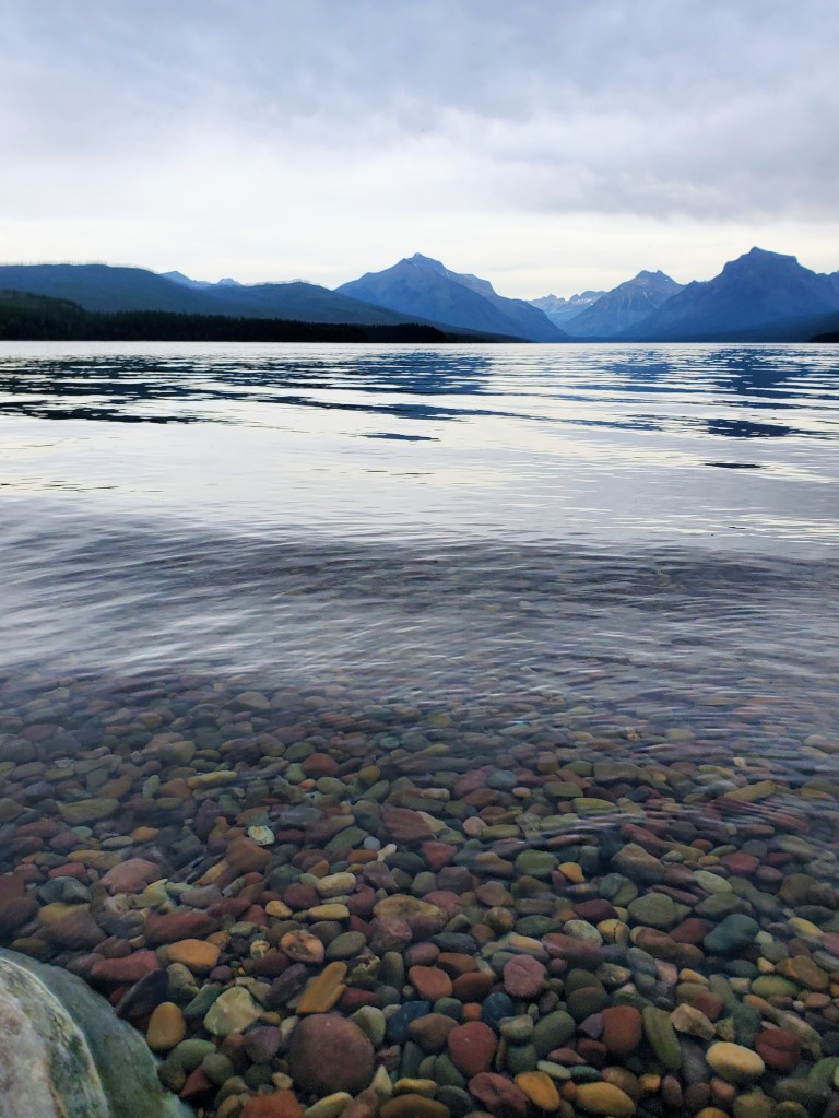
Day #5 – We woke to another cloudy, drizzly day but decided not to let it stop our exploring. We headed back to West Glacier and spent the day at Apgar Village on the shores of Lake McDonald. We walked the shoreline, snapped a few iconic “colored rock” photos, hiked a wooded trail, shopped in the gift stores, and enjoyed coffee/lunch/huckleberry ice cream during the hours we spent there. It was a very relaxing day. On the way back to our cabin, we stopped at the Goat Lick overlook to see a herd of mountain goats that hang out on some rocky cliffs. We saw several of them!

the iconic “rock photo” at Lake McDonald
baby mountain goat

We then returned to the cabin, cleaned up, and drove back to West Glacier where we had dinner reservations. David and I wanted a nice meal on our final night and we enjoyed a lovely dinner at the Belton Chalet Restaurant. It was delicious and made for a great ending to a great trip. We returned our unused bear spray, packed up, and left for home the following morning.

We made memories that will last a lifetime. GNP, thanks for an unforgettable trip!

See you on the trails!

cloudy morning on Lake McDonald
Lake McDonald selfie
near the entrance to St. Mary’s
on the Trail of the Cedars
McDonald Creek from the GTTSR

West Glacier entry

Dinosaur Valley State Park

Glen Rose, TX

One day, a long time ago, a family of plant-eating longnecks was walking along the muddy water’s edge grazing on yummy plants and ferns. Unbeknownst to them, a herd of hungry meat-eaters was hot on their trail. Let’s just say the day ended quite poorly for the plant-eaters.

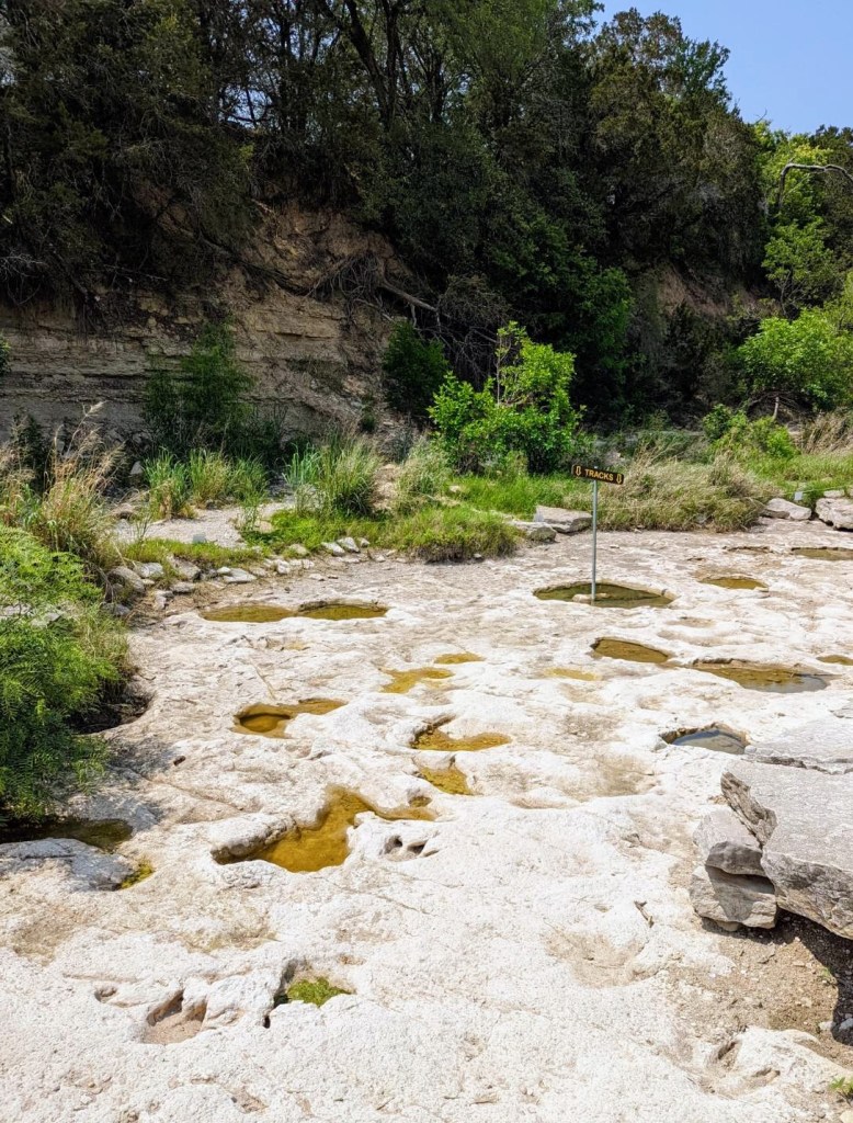
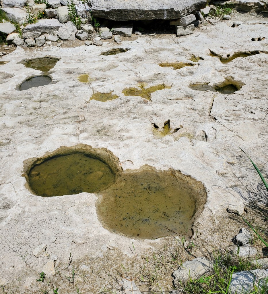
What we are left with today at Dinosaur Valley State Park is the fossilized footprint evidence of this journey and the encounter. The round, elephant-like footprints were the plant-eaters and the three-toed prints were the meat-eaters. Over 100 million years ago, many types of animals lived in this shallow Mesozoic sea area. Tidal pools and coastal swamps covered what is now the state of Texas. Today, these lower Cretaceous rocks are where we find the Paluxy River and its shoreline containing hundreds of dinosaur prints.

One area within the park contains so many preserved footprints that it is named “The Ballroom” due to hundreds of tracks moving in all directions – as if they were all dancing (or trying to keep from being eaten!). Some of the prints are on the dry limestone creek beds, some are in shallow water, and some have (unfortunately) eroded over time. The park provides detailed maps showing all the track sites.

When I stood looking at some of these well-preserved footprints, I could barely wrap my head around seeing something from 105 million years ago. How is that even possible? It was the highlight of my trip, for sure.

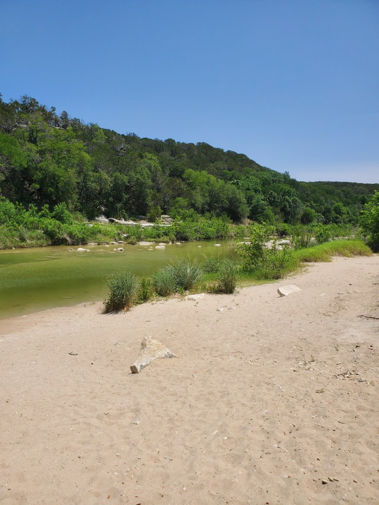
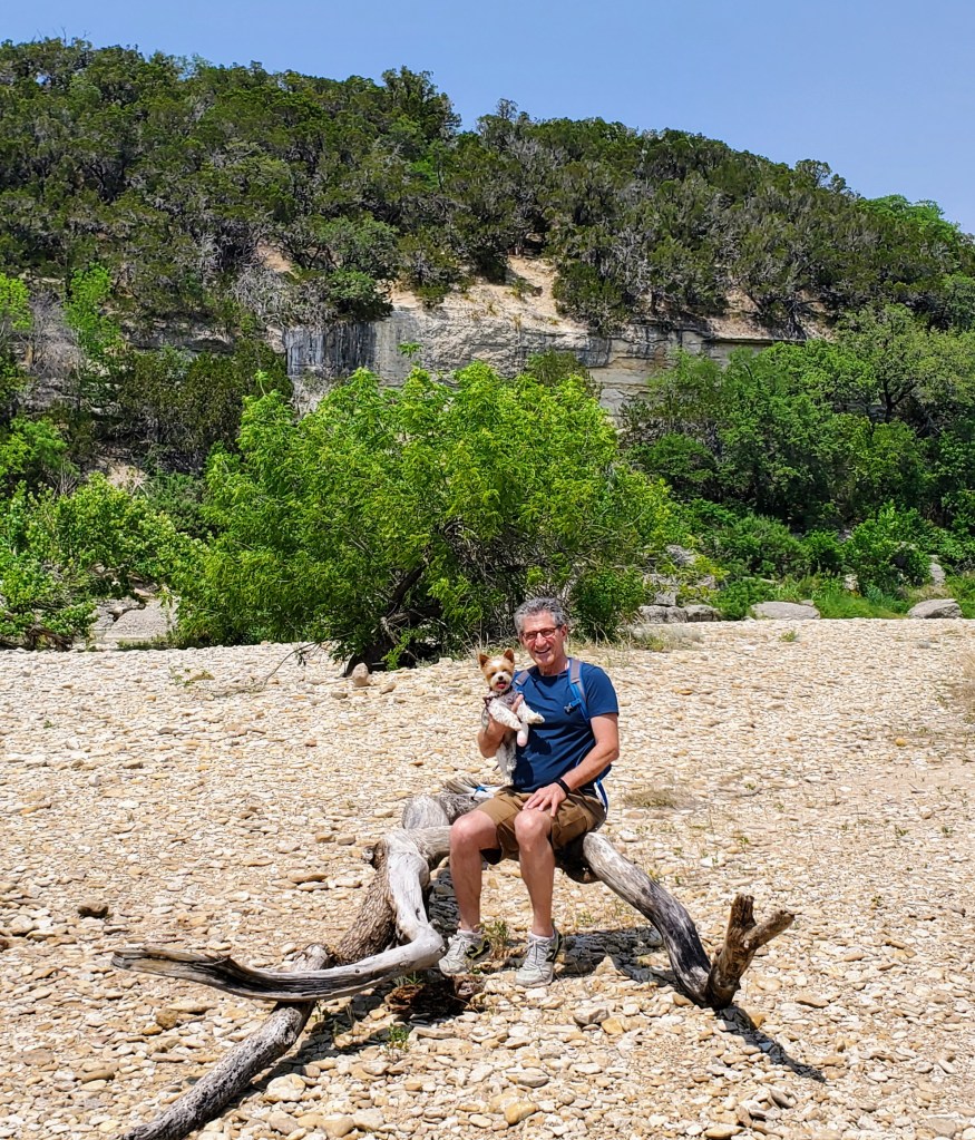
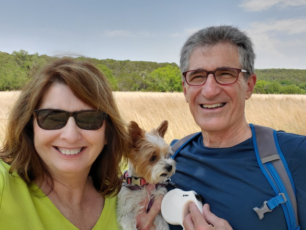
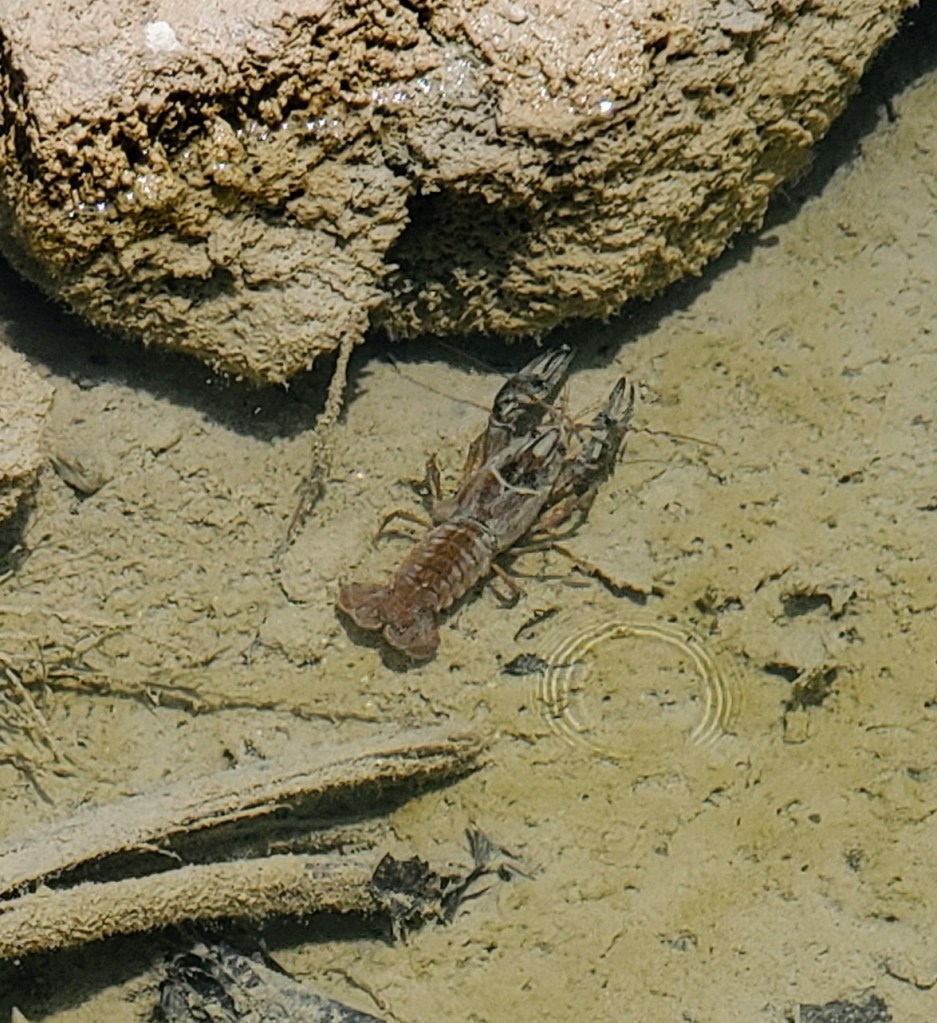
Besides seeing the dinosaur prints in the park, my husband and I did quite a bit of hiking with our yorkie “trail dog.” There are over 20 miles of hiking trails running all through the park and the beautiful Paluxy River Valley. Trails lead into and along the river, up over limestone ridges, through shady cedar brakes, and beside grassy prairie lands. I really enjoyed our walks alongside the clear, shallow river spotting unusual rocks, dinosaur tracks, crawfish, and fish. We also saw lots of lizards, animal tracks, and beautiful wildflowers along the grassy and wooded trails.

A few of the trailheads start near the popular and more crowded attractions within the park. The Blue Hole (definitely green) looked like a family-friendly swimming area, as there were quite a few people there. The Main Track Site had the most visitors with ample parking and easy access to prints on dry land for close-up viewing. When we ventured off on many of the other trails, there were fewer people.

I suggest wearing good hiking shoes for all the varying terrain (rocks, dirt, roots, gravel) and bringing a pair of water shoes to get up close and personal to some of the tracks in shallow water and for river crossings on some trails. Pack a picnic lunch, bring plenty of water, and enjoy the park and all it has to offer!

Reservations are highly recommended as the park limits the numbers of visitors per day. The cost for a one-day pass is $7 per car. Overnight camping is also available with reservations.

See you on the trail!

Black Canyon of the Gunnison

Montrose County, CO

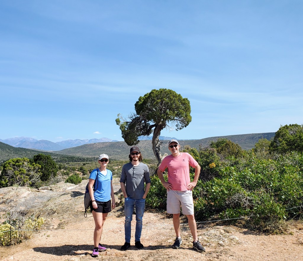
Another Covid-19 vacation is in the books! My family is vaccinated but we are still trying to avoid crowds when traveling. We have spent the past year renting homes/cabins and cooking most of our meals when out of town. This rural southwest part of Colorado seemed like the perfect place to check out a National Park and visit with our adult children for a few days. It turned out to be a great trip.

We took a morning flight from DFW to Montrose. The direct flight was only an hour and thirty-eight minutes – quick trip! The Montrose airport was small (4 gates) and very easy to navigate. Getting our rental Jeep was a breeze. Our Vrbo house actually ended up being a convenient ten minute drive from the airport. So far, so good! We were ready to explore the area.

The first excursion to check off our list: The Black Canyon of the Gunnison National Park. This area has only had National Park status since 1999 and I was not that familiar with it prior to our trip. After seeing a few pics on a National Park social media page recently, it got on my radar. Though not as popular as the Grand Canyon, it certainly seemed less crowded and had some spectacular views with towering walls, spiky peaks, narrow openings and startling depths. I put in a little bit of research, found out how to get there, and off we went!

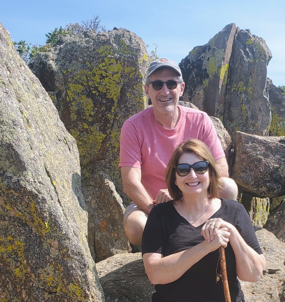
The Black Canyon National Park entrance was only twenty minutes from downtown Montrose and the drive up to the park was quite scenic as our elevation changed (and ears popped!). This route took us to the park’s visitor center that featured cool displays, info on the canyon, picnic areas, restrooms, a gift shop, campgrounds, a nature trail and a great observation platform. It was well worth a stop. I got a map, a walking stick and went on my merry way.

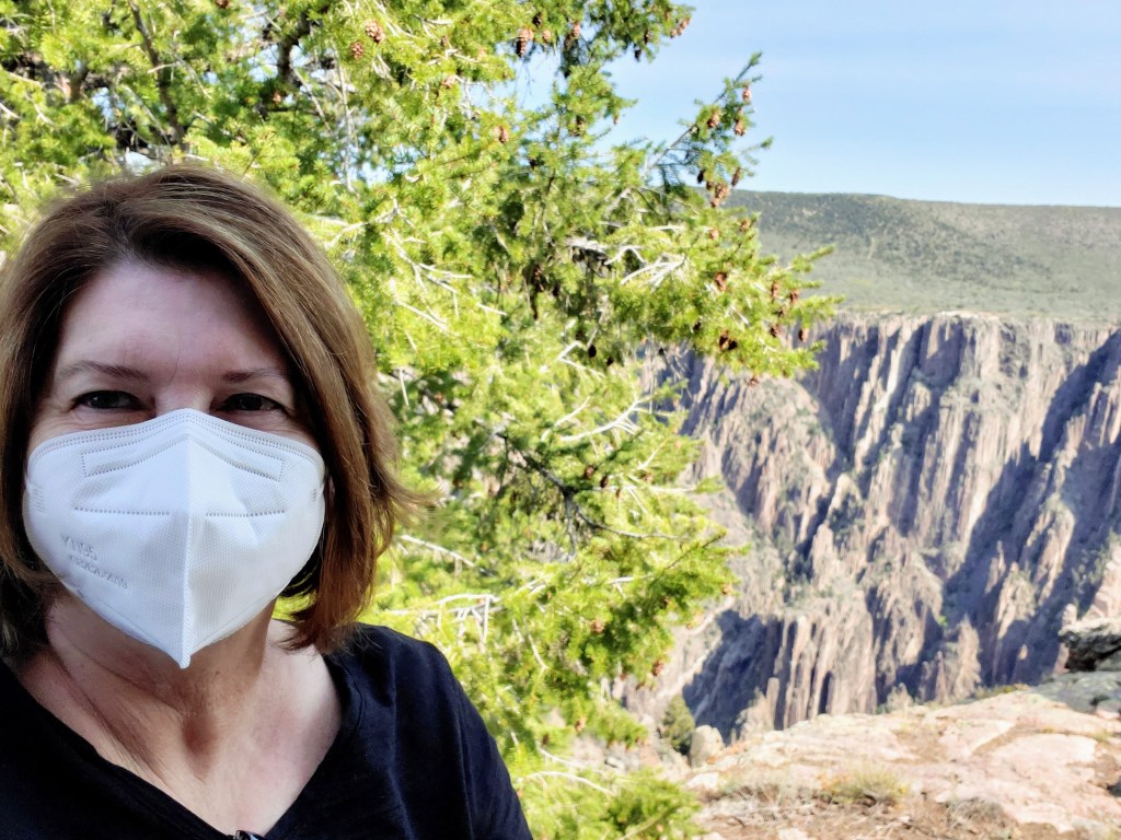
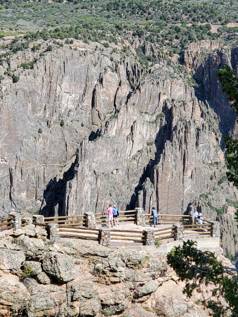
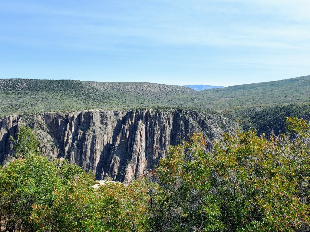
The route through the park along the South Rim Road was easy to drive and well-marked. It allowed us beautiful views of the Black Canyon from many overlooks, most of which only required short walks. I loved seeing all the different landscapes, plants and trees along the way. Hiking there can be as simple as strolling to the various viewpoints and overlooks or as challenging as a 2,700 foot descent down into the inner-canyon to the Gunnison River, which we didn’t do (because we are sane people!).

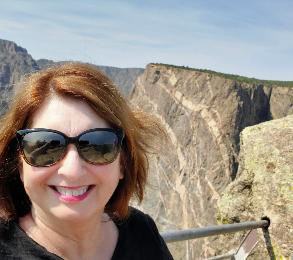
The Black Canyon itself was breathtakingly beautiful with its dark, solid granite canyon walls that tower almost 3,000 feet above the greenish river snaking far, far below. The canyon gets its name due to the fact that certain parts of the gorge only get thirty total minutes of sunlight per day. The walls literally look black due to the shadows. It is very, very narrow and very deep! For you geology nerds, the canyon has some of the world’s oldest exposed rock that dates back two billion years to the Precambrian era. Today the impenetrable, steep cliffs provide homes and protection to the world’s fastest bird, the peregrine falcon.

We enjoyed many of the twelve lookout points along the rim with Pulpit Rock, the Painted Wall and Dragon Point being my favorites. The Painted Wall is the highest cliff (tallest vertical wall) in Colorado. From the rim down to the river, it stands 2250 feet high and as my daughter described it, “it looks like a big ole slab of marbled steak.” It is a huge, dark granite wall with wide, white “marble” streaks running through it. The size is somewhere in the neighborhood of ginormous!

At Dragon Point, the Painted Wall was across the gorge from us and far below was the Gunnison River. The river actually looked very curvy and small from our vantage spot so high above. Our view was quite deceiving. The Gunnison River actually drops an average of 43 feet per mile through the canyon, which is six times more than the Colorado River through the Grand Canyon – just to put it in perspective.

If we had more time, I would have liked to experience the canyon from the bottom up. There is a road at the park entrance that follows a steep, switch-back route into the canyon’s depths. This would certainly be a memorable day for hiking, fishing, kayaking or rock climbing. I would have loved to have seen the mighty river up close and personal. Maybe next time…

The Ute Tribe that inhabited these tribal lands for thousands of years referred to this area as “much rocks, big water.” I don’t think anyone could have said it any better.

.

The Vampire Grave

Lafayette, CO

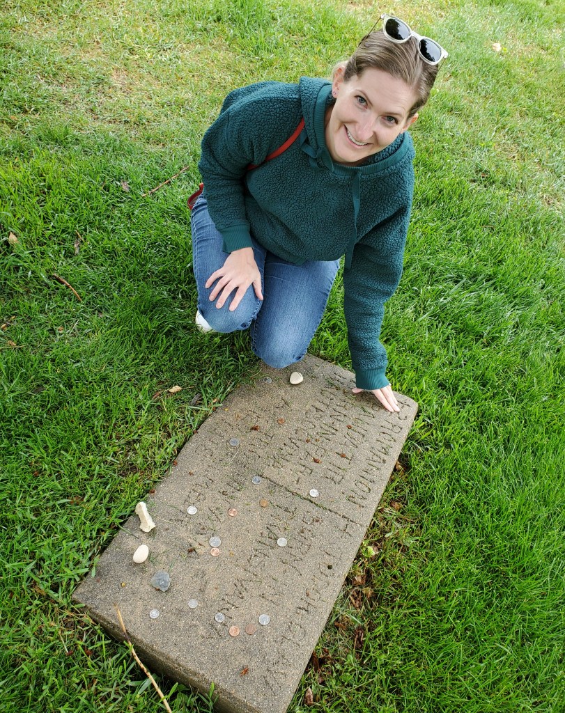
My daughter at the Vampire Grave

Want to hear about a vampire grave in Colorado? Cool! This is how the story goes.

In the early 1900s in Lafayette, Colorado (near Boulder) a pale, lanky man living in the area was pretty much a loner with no friends or family. No one knew much about him other than his name, Fodor Glava. When he died in 1918, townspeople took notice of his headstone at his gravesite. It was discovered that he was from Transylvania. Rumors spread through the town like wild fire that he was, of course, a vampire!

No one had ever seen him much during the day when he was alive. He had always been very pale. He was originally from Transylvania. The facts were undeniable.

Several townspeople dug up Glava’s grave and found blood by his mouth, his teeth seeming bigger than normal, and his nails long, pointed and still growing. The frightened and superstitious settlers drove a wooden stake through his heart and reburied him.

Of course, we now know that all of these physical changes are natural for a decaying body.

Shortly after his second burial, a tree “unlike any other in the area” grew straight up through the grave plot. Folklore claims it “grew from the wooden stake in his heart.” Red rose bushes suddenly sprang up around his grave. These wild roses were thought to be growing from his fingernails. They knew roses had some importance in his life since the word was on his gravestone. It was black magic at its best!

Back to present day:

My adult children live in Colorado. They always have fun things planned for us to see and do when we visit. Our most recent visit a couple of months ago was no exception. The first day there, we were off to see the Vampire Grave in Lafayette. My daughter and son-in-law had been given a book by a family member regarding “odd and interesting” places to visit in the state. We found ourselves marching through a wet cemetery in the rain to find this unusual tombstone. The folklore story is actually much more interesting than the actual gravesite.

Now for the truth: Theodore “Fodor” Glava was a very pale, tall and lanky Transylvanian immigrant who came to America for a better life. He lived a very quiet and modest life as a coal miner before dying from the Spanish flu during the 1918 epidemic that ravaged Colorado. He was buried in the poorest section of the local Lafayette cemetery in a pauper’s grave. It wasn’t until after his death that he gained his notoriety.

Glava’s headstone was carved/chiseled by a stonemason with his personal info, birthplace, and year of death. Among the inscription is the word “trandofir” which is the Romanian word for “rose.” Not much was known about Glava’s life in this area during this time, but the mention of his birthplace on his headstone actually sparked the rumors that he was a vampire. Many locals knew that Transylvania was home to Count Dracula and Vlad the Impaler, therefore he must also be a “creature of the night.”

The truth is most likely that this is the gravestone for Fodor Glava and his wife Trandatir (Rose). Both probably died from the influenza around the same time. He was from Transylvania (part of Romania today) and Rose was from Bucovina (part of the Ukraine and Romania today). They were both very poor and he worked as a miner, probably another reason he was so pale. He could also have been sickly and/or had a poor diet.

Unfortunately, Glava was an easy target for these uneducated settlers who tried to explain away natural happenings with superstition.

Rumors of this vampire still exist to this day. Local residents have claimed for many years that they have seen a mysterious figure walking near the gravesite late at night. Yikes!! If you do plan a visit to the Vampire Grave, go in the day time. It is also a sign of respect that you take and leave a small gift – a coin, rock, token or a bouquet of roses.

No garlic, please.

Note: This is what is actually engraved on the headstone. A vertical line divides the sections. The right side reads –

FODOR GLAVA, BORN IN TRANSYLVANIA, a small cross, AUSTRO-UNGARIA (should read Austro-Hungarian, which Transylvania was a part of), DIED DECEMBER 1918

The left side (that people seem to ignore) reads – + 2 ROMANION (two Romanians buried here), TRANDATIR (Rose), BORN IN PAR-HAUTIBOCVINA (from Parhauti Village in Bocvina, an area also in Austro-Hungary).

May they both rest in peace.

Bluebonnet Trail

Ennis, TX

For all of us Texans still dealing with the outcome of the devastating arctic blast, there is a positive. The freeze that wiped out many of our trees, shrubs and flowers and spelled disaster to our state’s infrastructure, spared the bluebonnets and wildflowers.

It seems that all the snow we received in Texas actually acted as an insulator and saved many of the wildflowers and their root systems from the low surface temperatures. The bluebonnets weathered the winter quite nicely and they are currently in full bloom throughout many parts of the state.

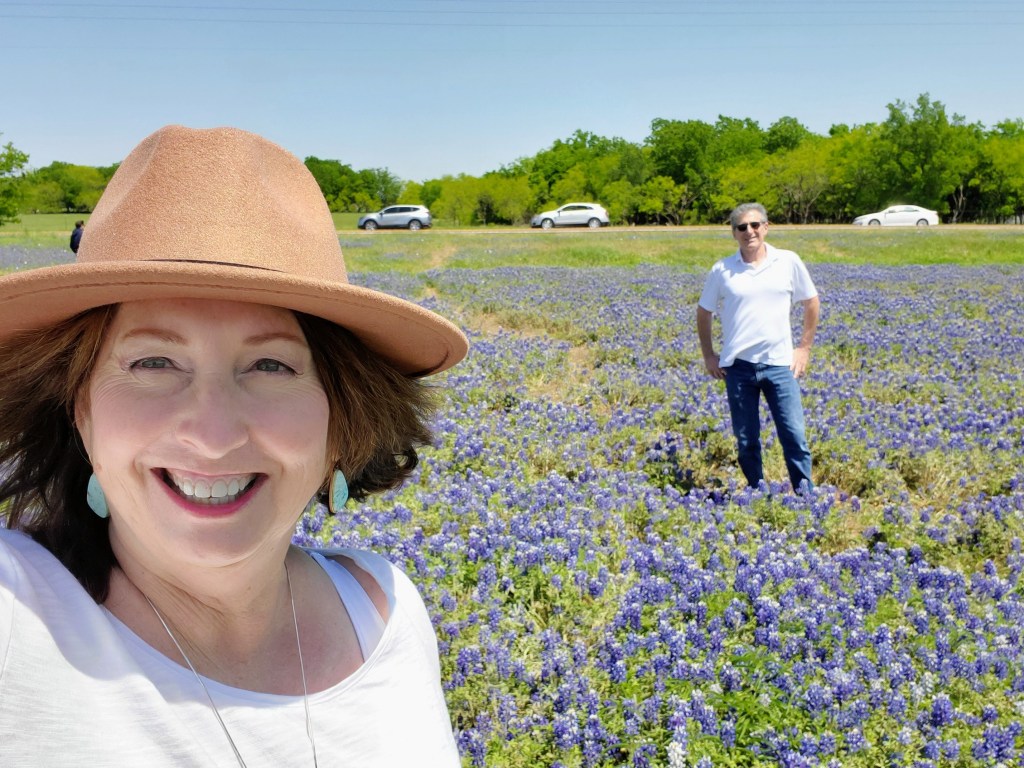
Now more than ever during this pandemic, Texans are looking for fun outdoor activities to get us out of the house and the Texas Bluebonnet Trail is a perfect opportunity. My husband and I packed a picnic lunch this past weekend and drove down to Ennis, the Bluebonnet City of Texas. I wanted to see the state flower of Texas in all its glory!
Located off Hwy 45 and south of the Dallas metroplex, the Ennis Bluebonnet Trail is the oldest in the state and has over 40 miles of viewing opportunities. The best way to follow the trail is in your car because trails are mainly on paved or gravel roads and in park areas. The rule of thumb is that you can pull off on the side of any road as long as you do not block roadways, driveways or fire hydrants. Everyone is also asked to take photos – not flowers!

I downloaded a driving map off the Ennis Garden Club website (which is updated frequently) and we headed off. Our map told us the North Trail and West Trail had “peaked” so we headed to the suggested South Trail. It was rural, uncrowded and had acres of gorgeous bluebonnets as well as other colorful Texas wildflowers. We had some great photo ops!

We also visited the Meadow View Nature Area (and had a picnic lunch near Lake Bardwell), scenic Bluebonnet Park and the Ennis Veterans Memorial Park. The Veterans Park had acreage off to the side of the park with a large “natural” area that we really enjoyed.

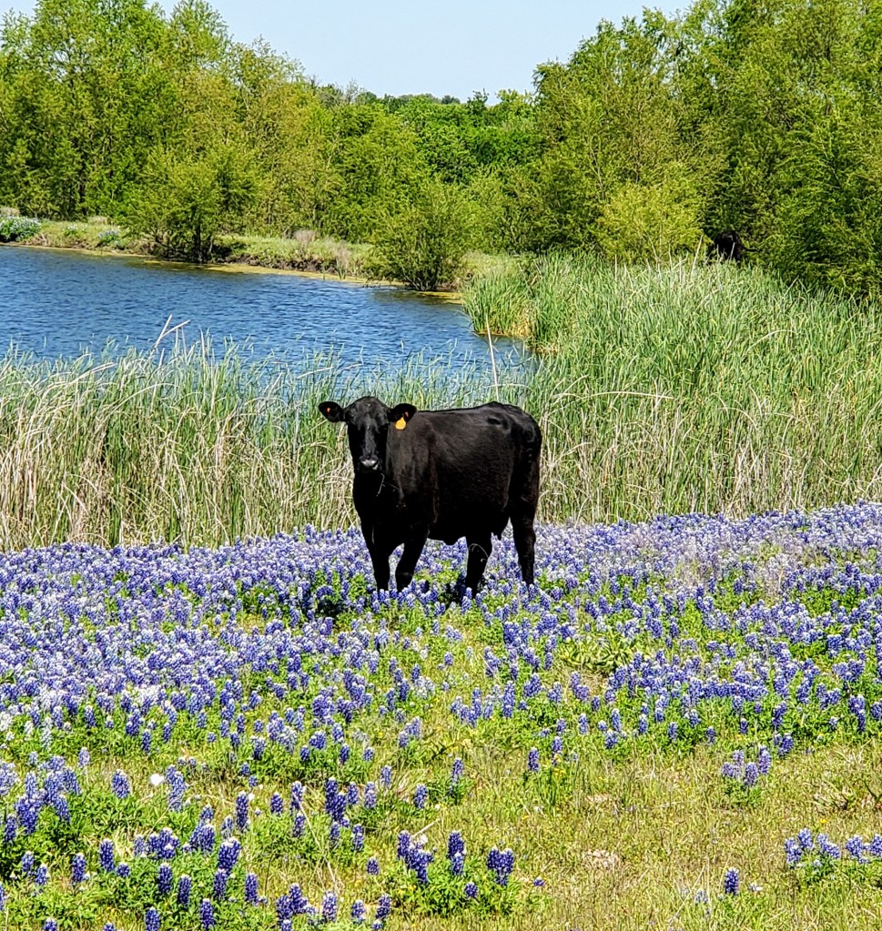
The pastures, roadsides, meadows and yards along the marked routes are bursting with color! We noticed sapphire blues, fiery oranges, citrusy yellows, dainty pinks, scarlet reds, and deep purples all adding to Mother Nature’s spring palette. Most bluebonnets range in color from a light sky blue to a deep, dark navy blue – and all shades in between. We read that slight genetic modifications can occur and render the flowers white, pink or maroon as well but they usually don’t last long in the wild. I only saw blue, blue, and more blue!

A word of warning – bluebonnet fields are usually in rural areas and can be so dense that they provide shelter to animals and reptiles, especially snakes! Be cautious when moving around and through these areas. Bluebonnets are also toxic to humans and animals if ingested so keep an eye on your kids or pets when taking photos in or walking through the fields. This past weekend was late in the bluebonnet season and luckily for us, there were well-worn paths through most of the fields and no unwanted varmints were encountered.

April is the best month for viewing the bluebonnets but it looks as though they will still have at least another couple of weeks of peak season left. If you haven’t driven the Bluebonnet Trail yet, make plans quickly before they have lost their vibrant colors and healthy blooms. Kingsland, Marble Falls, Burnet, Brenham and Austin also have bluebonnet tours so pick your favorite spot and plan a trip SOON! Become a part of this incredible Texas tradition.