Texas
I finally got to check another national park off my bucket list this past month – Big Bend National Park!
Driving from the Dallas/Ft. Worth area down to Big Bend National Park is about a ten-hour drive. I have lived in Texas for over 40 years and finally got to see parts of this vast state that I hadn’t experienced before. Pumpjacks, cattle, petroleum facilities, windmills and desert landscapes were prevalent along the highways and byways as we headed southwest.

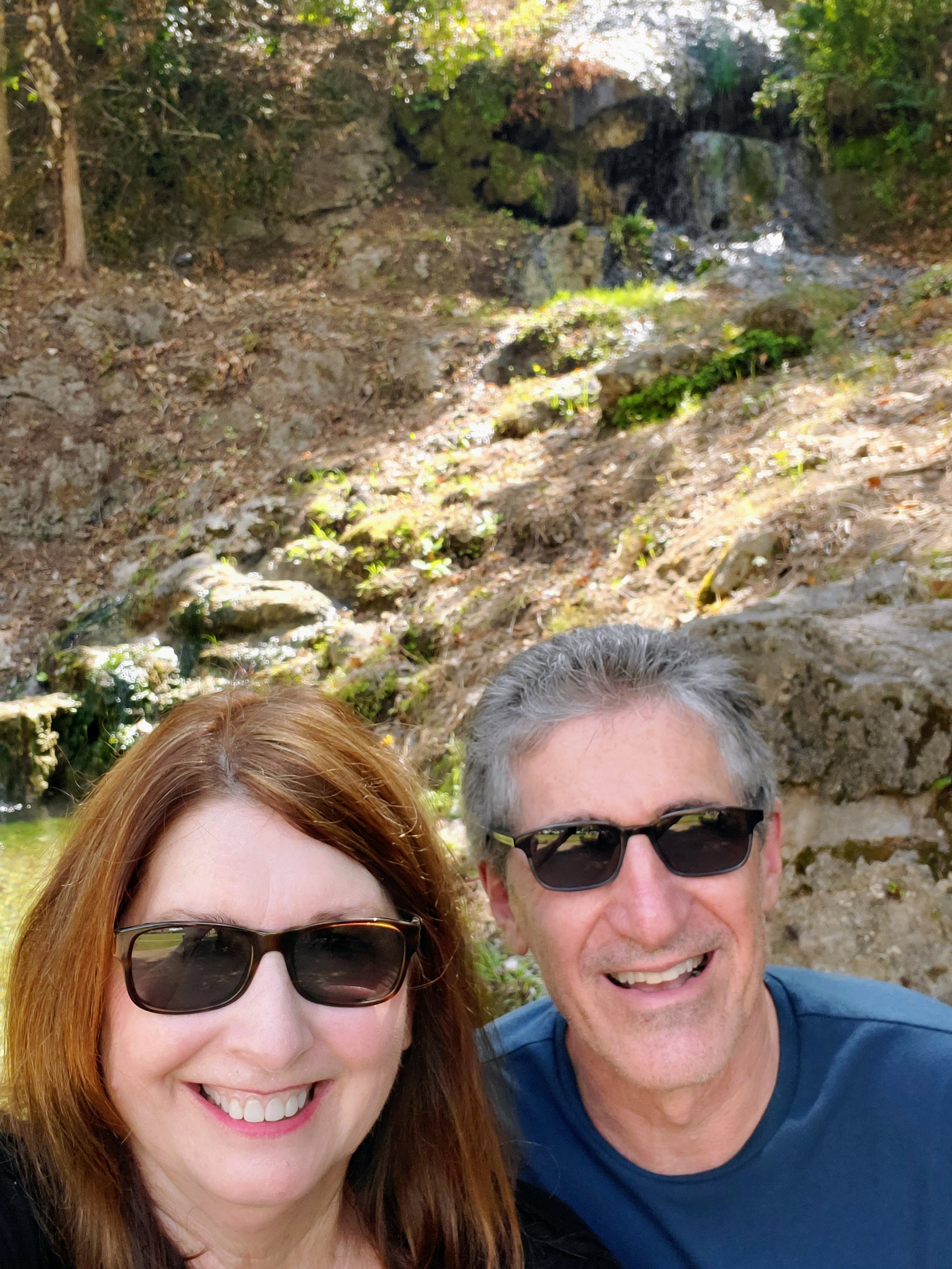
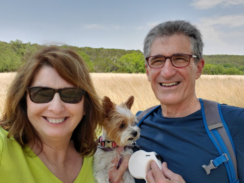
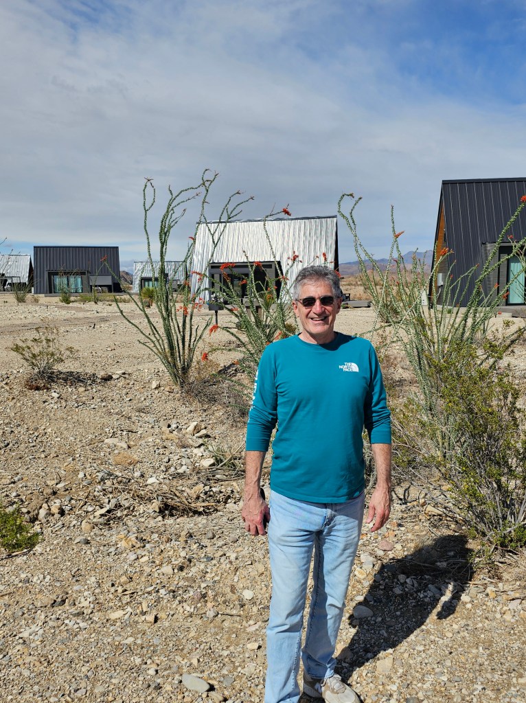
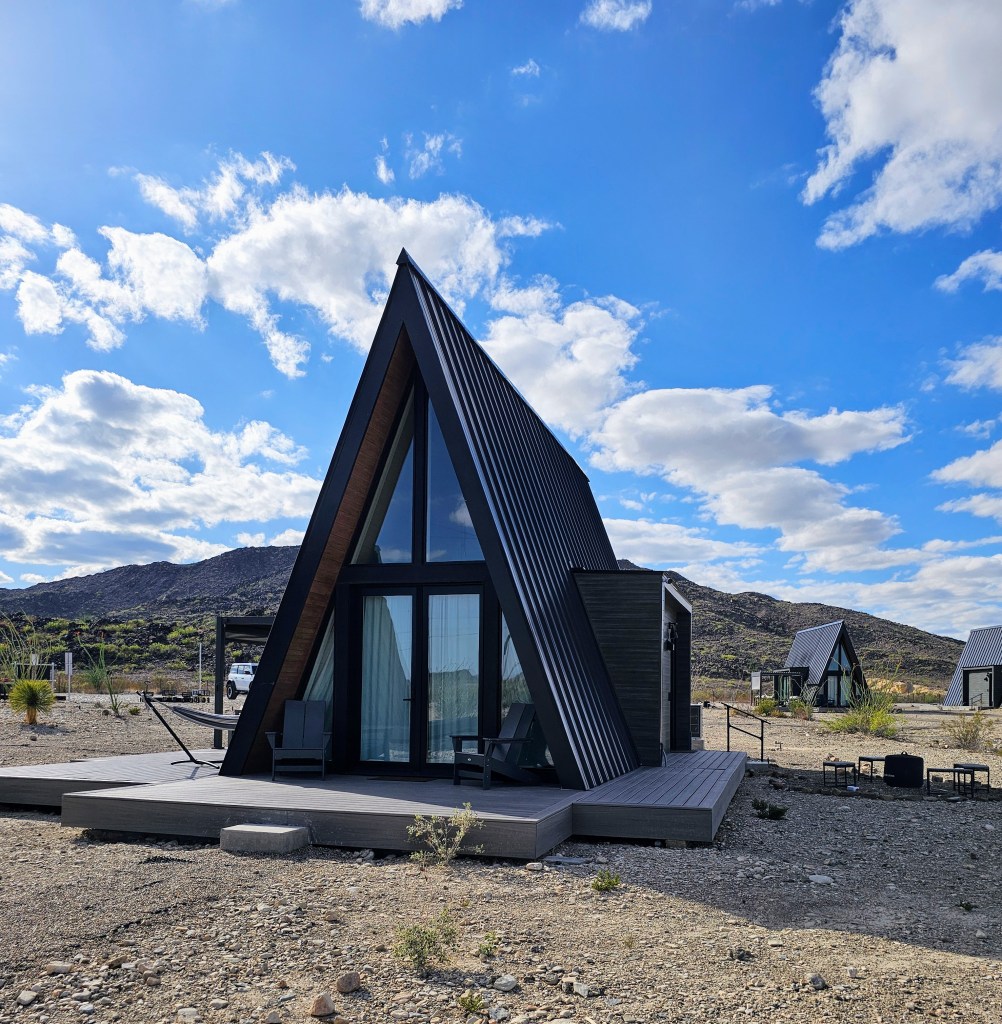
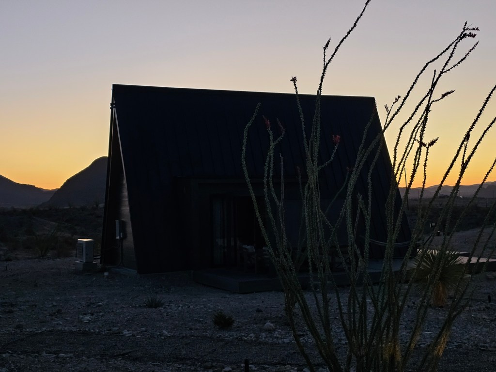
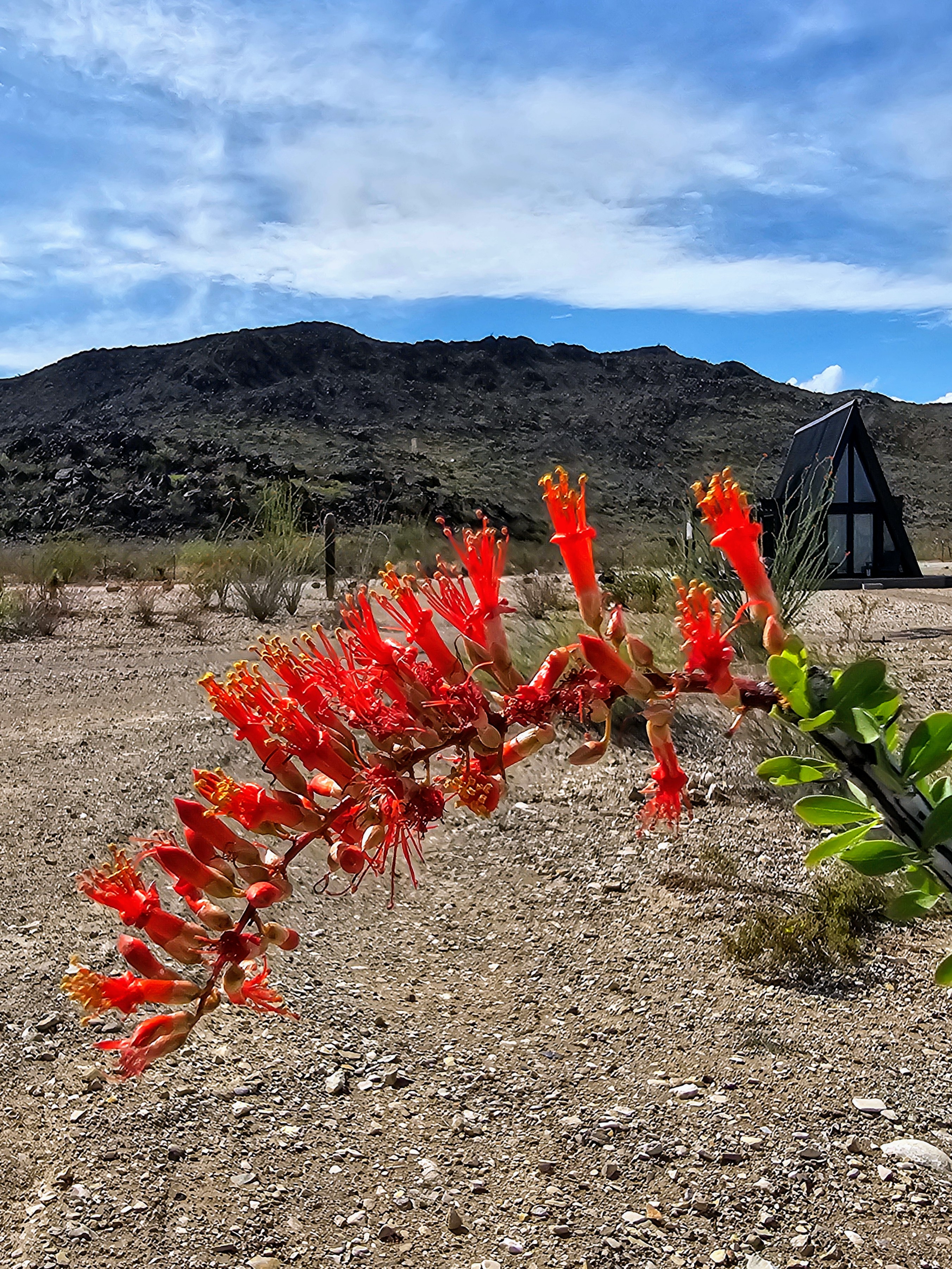
My husband and I stayed in Terlingua, Texas in a cute little luxury A-frame rental (Stardust Big Bend) that was just a few minutes from the park entrance. It was a prefect location for our “home base” and provided all the amenities that we needed. We especially enjoyed relaxing on the covered deck in the late afternoons and watching the dark skies at night from our back porch.


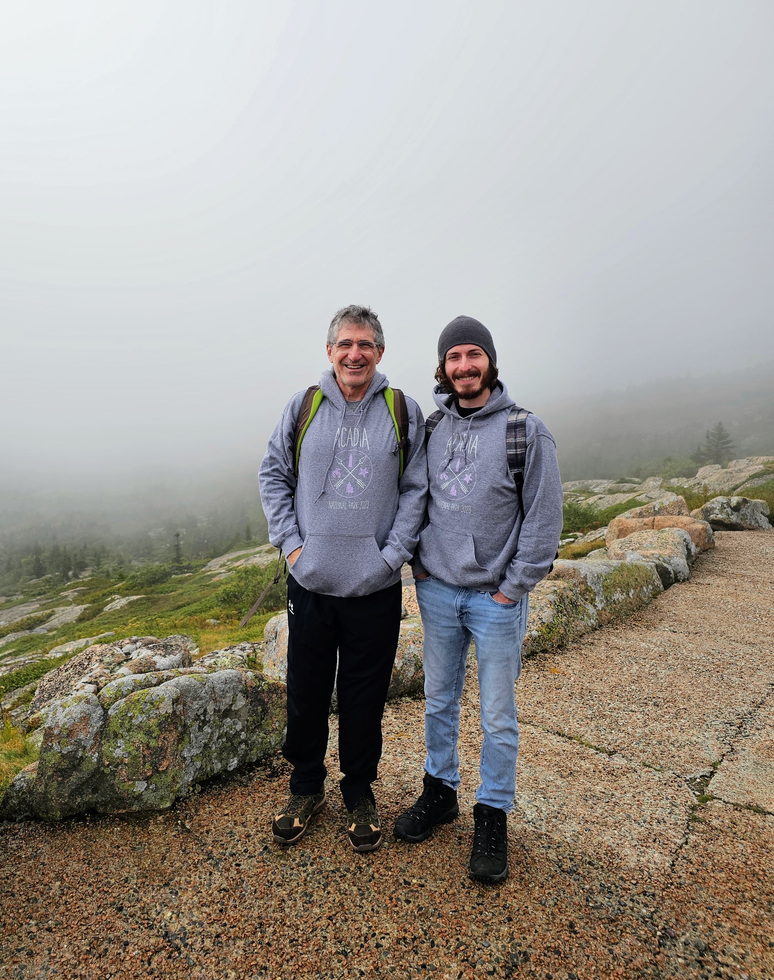
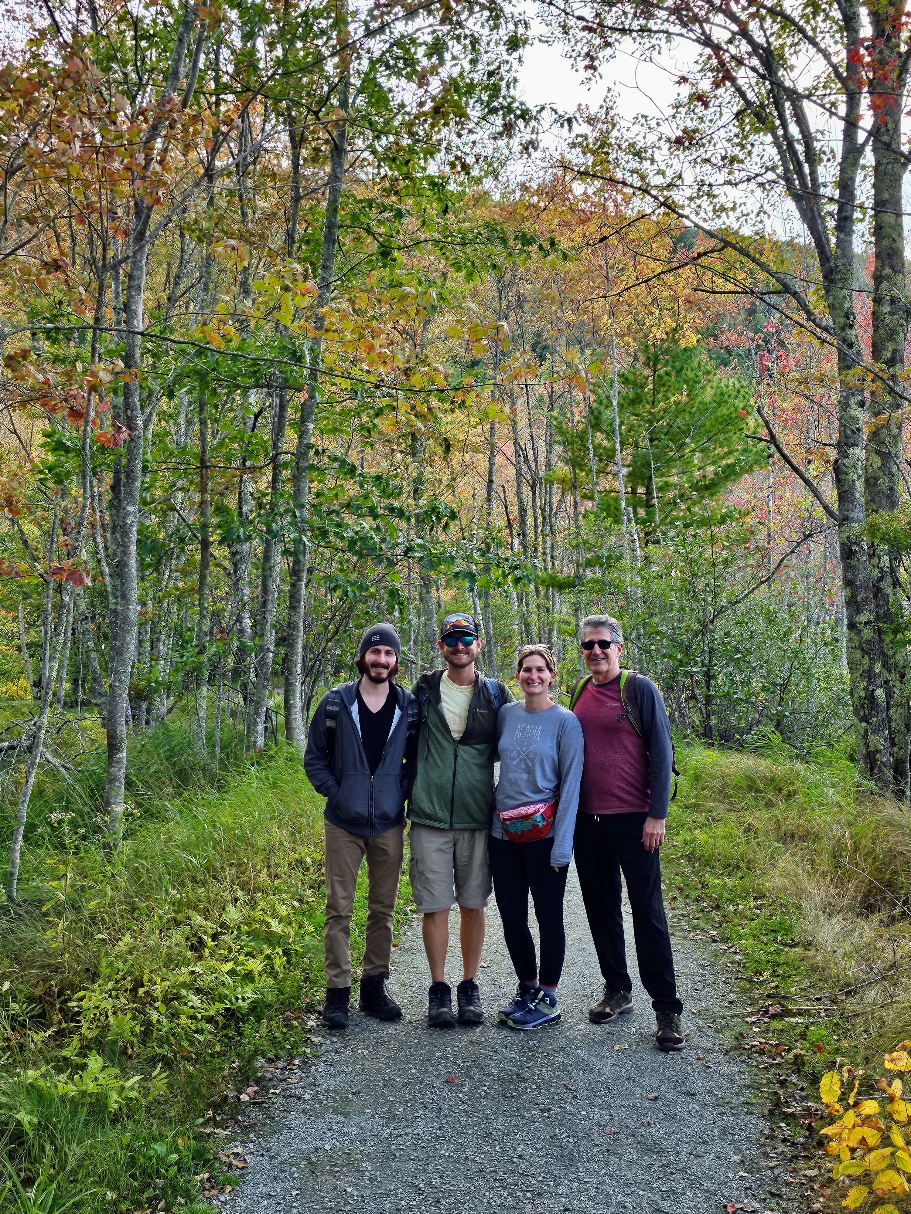
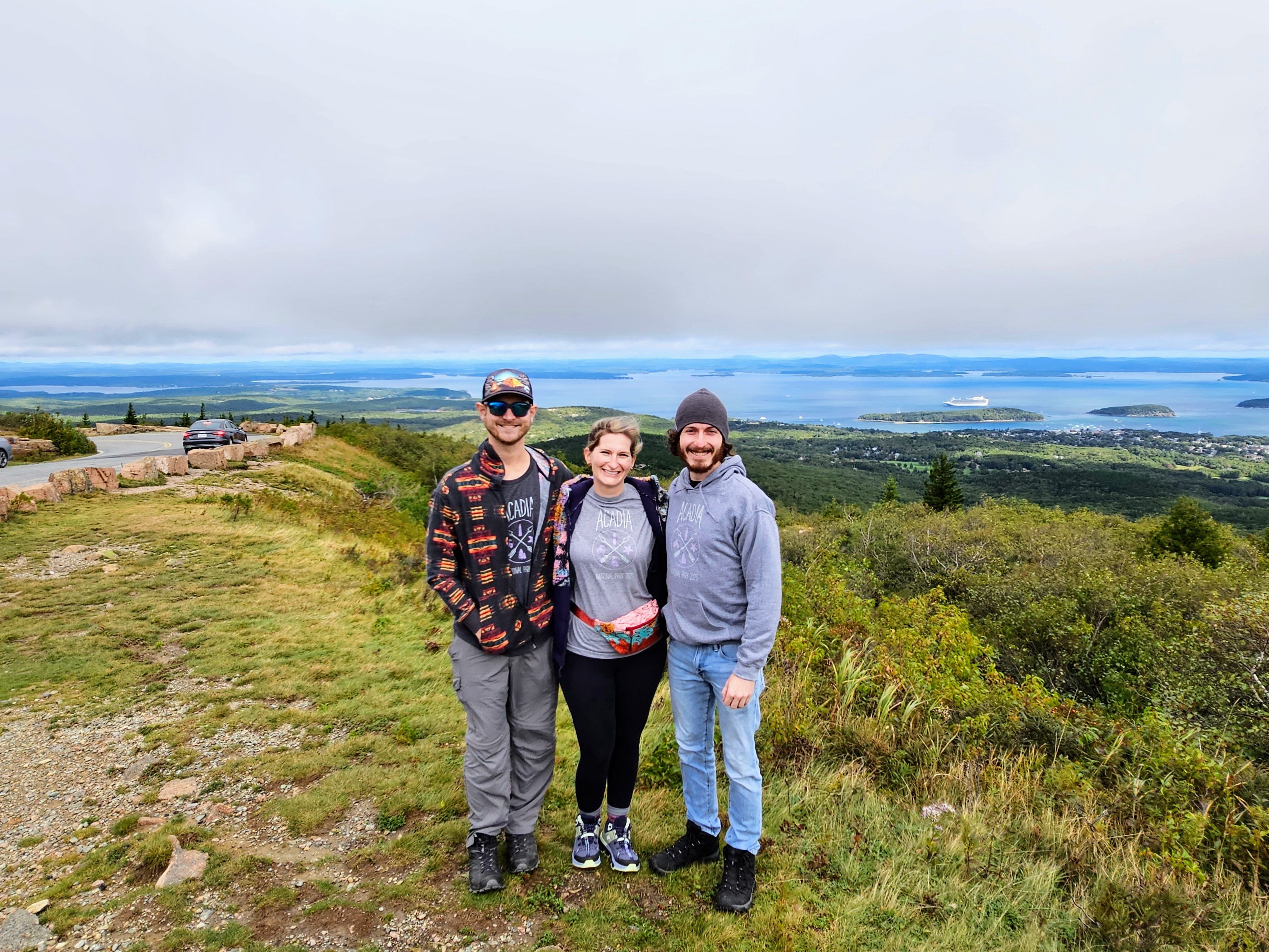
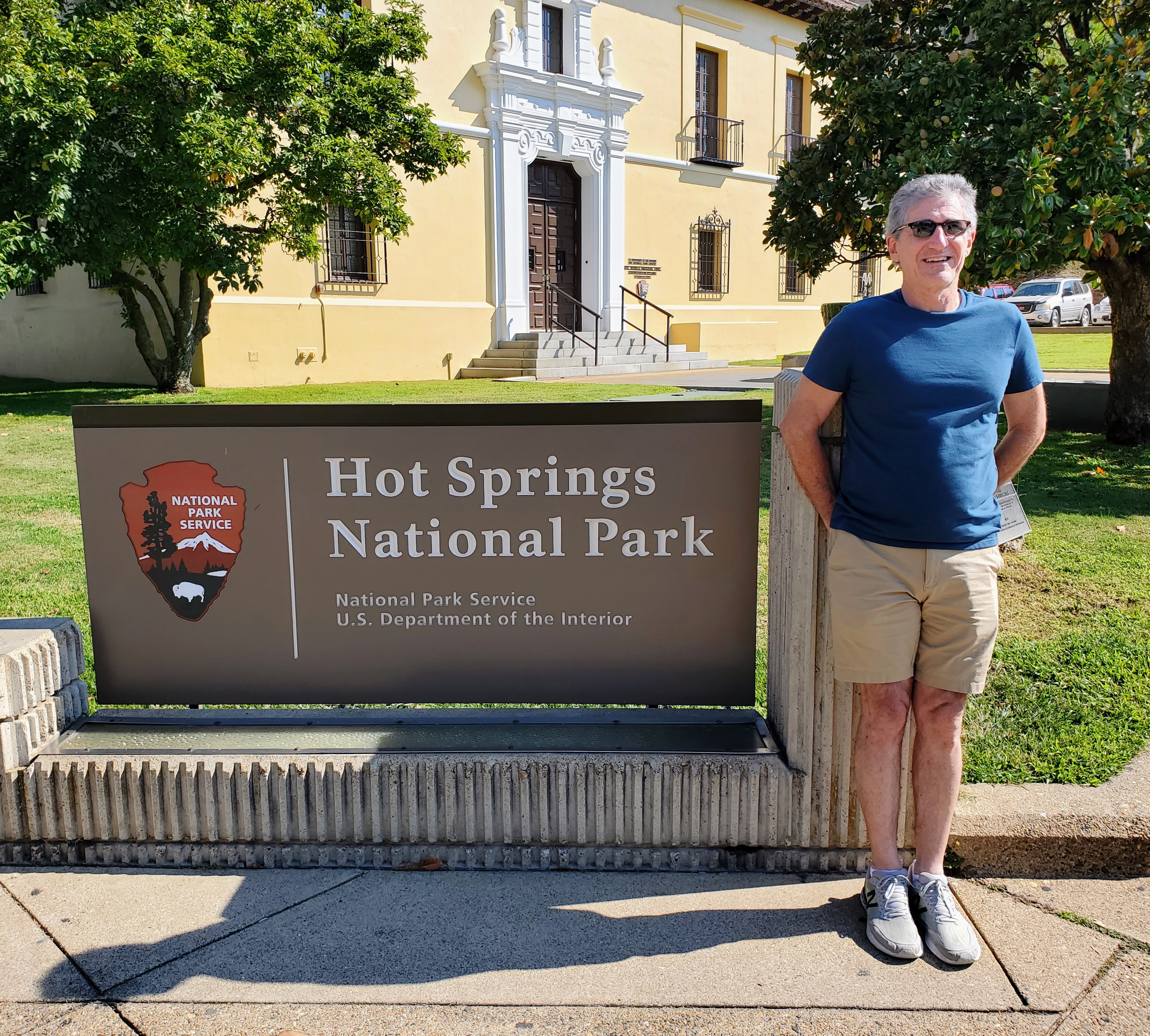
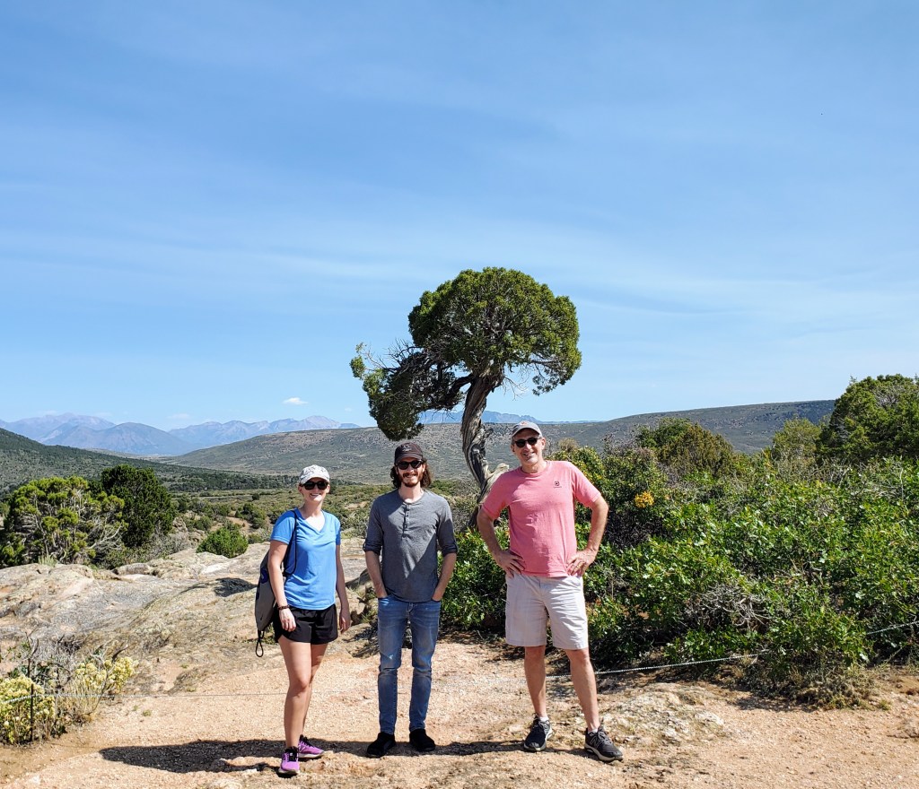
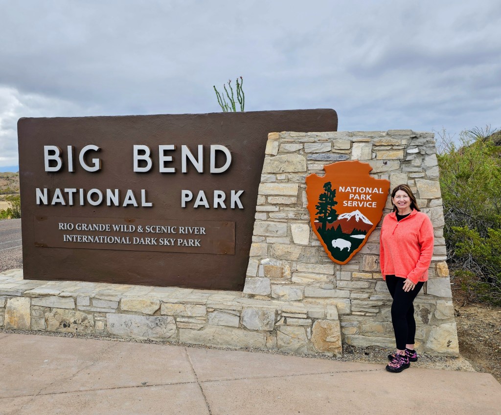
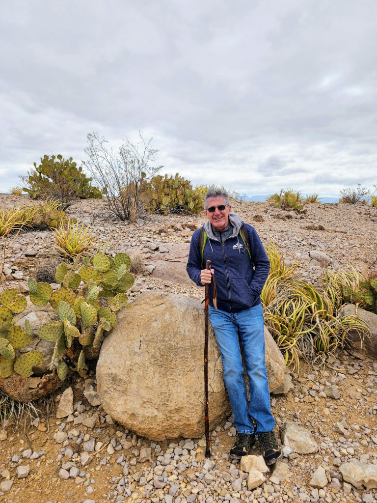
We began our first day in the park with the required photo-op at the official park sign – a “must do” if you travel in my company! There were only 2 cars ahead of us when we reached the park entrance and we didn’t have to wait any time in line. My husband showed our park pass and kindly thanked the park ranger for his service and dedication to our National Parks. We were promptly waved through.
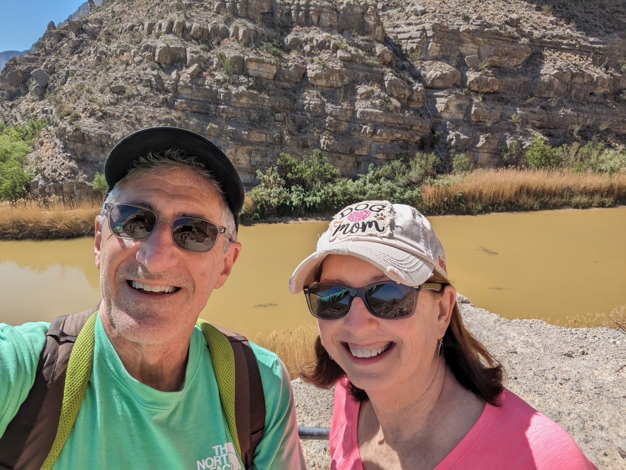
We headed east on the park roads towards the Panther Junction Visitor Center to get our bearings, check maps and closures, and see the exhibits. From there we drove southeast to the Rio Grande Village, the easternmost part of the park. The drive was quite beautiful as morning clouds gave way to clearing skies, allowing the mountains and meadows to come into clear view.
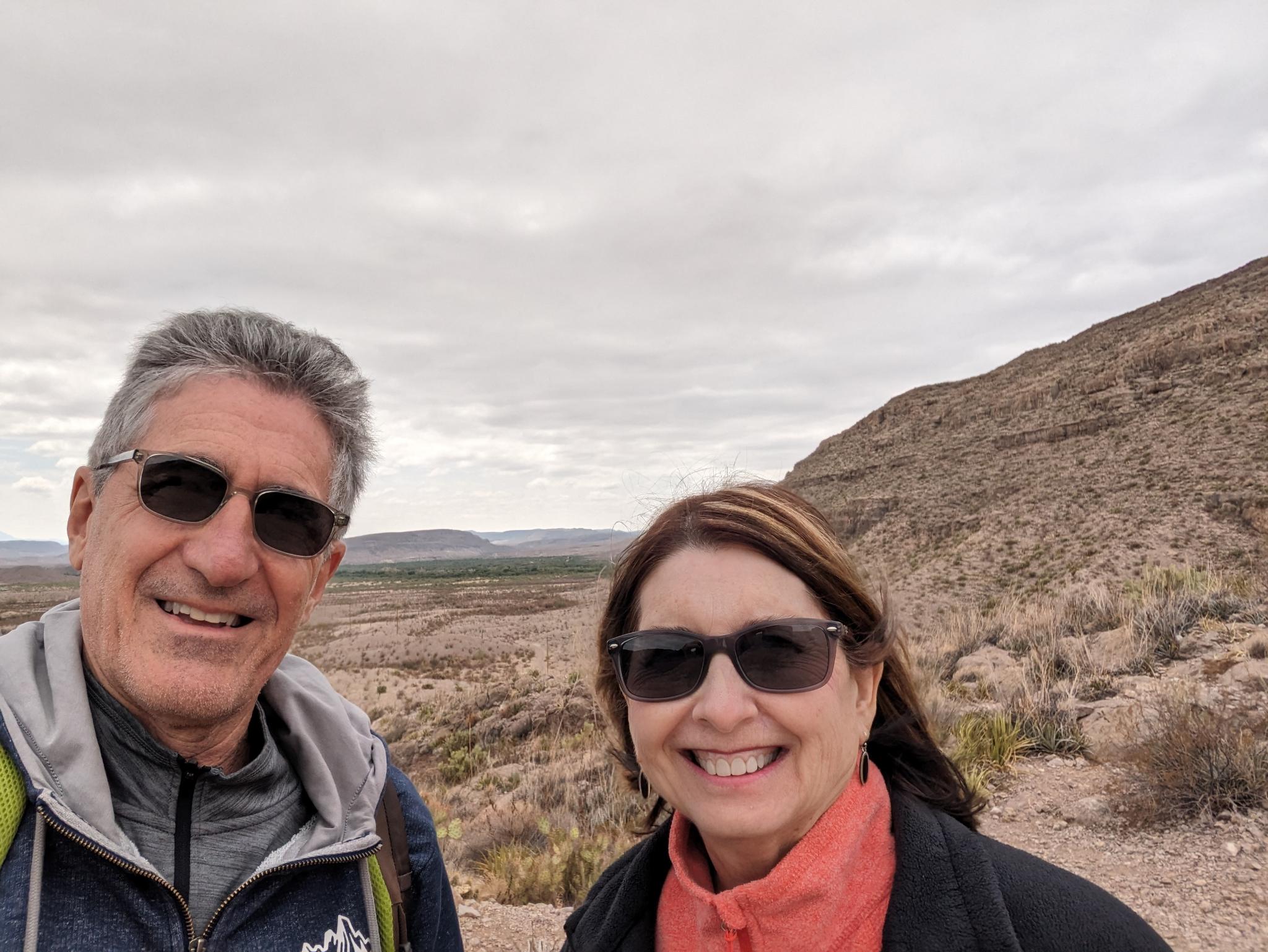

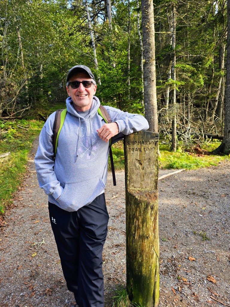
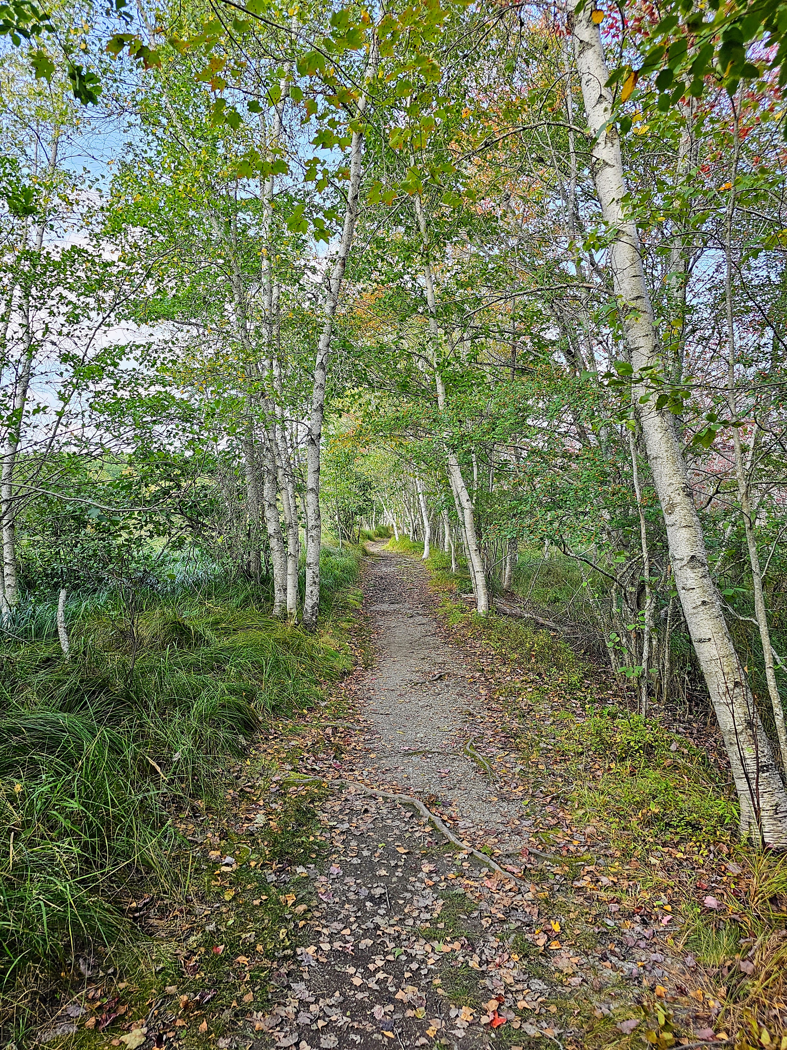
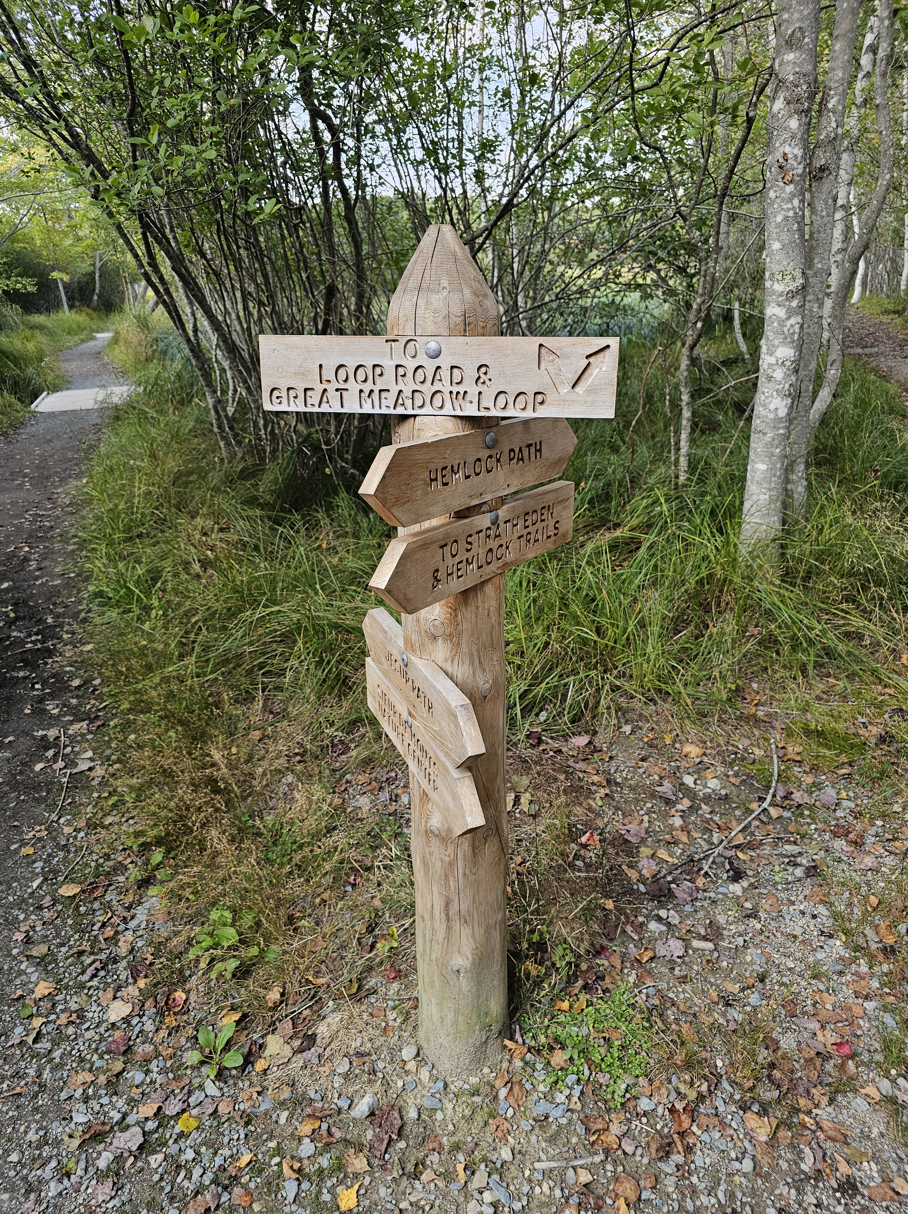
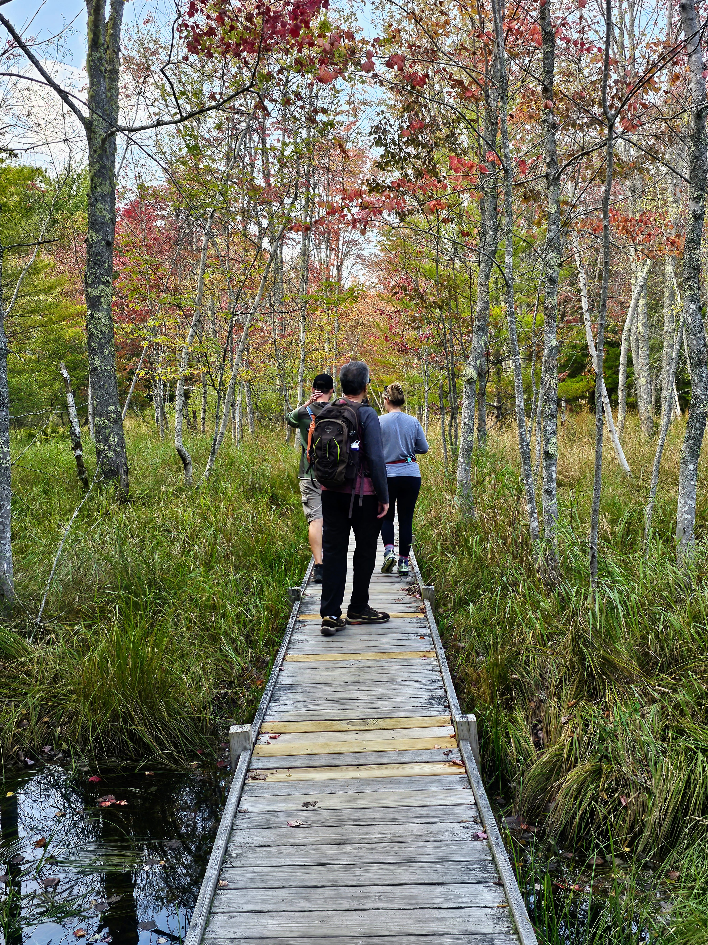
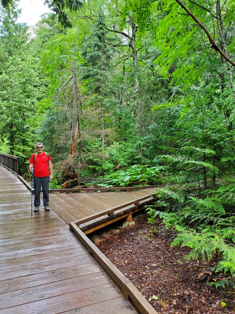
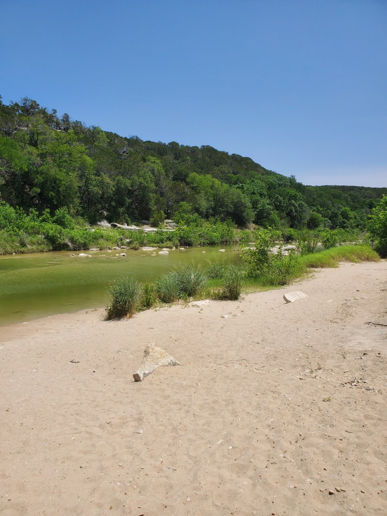
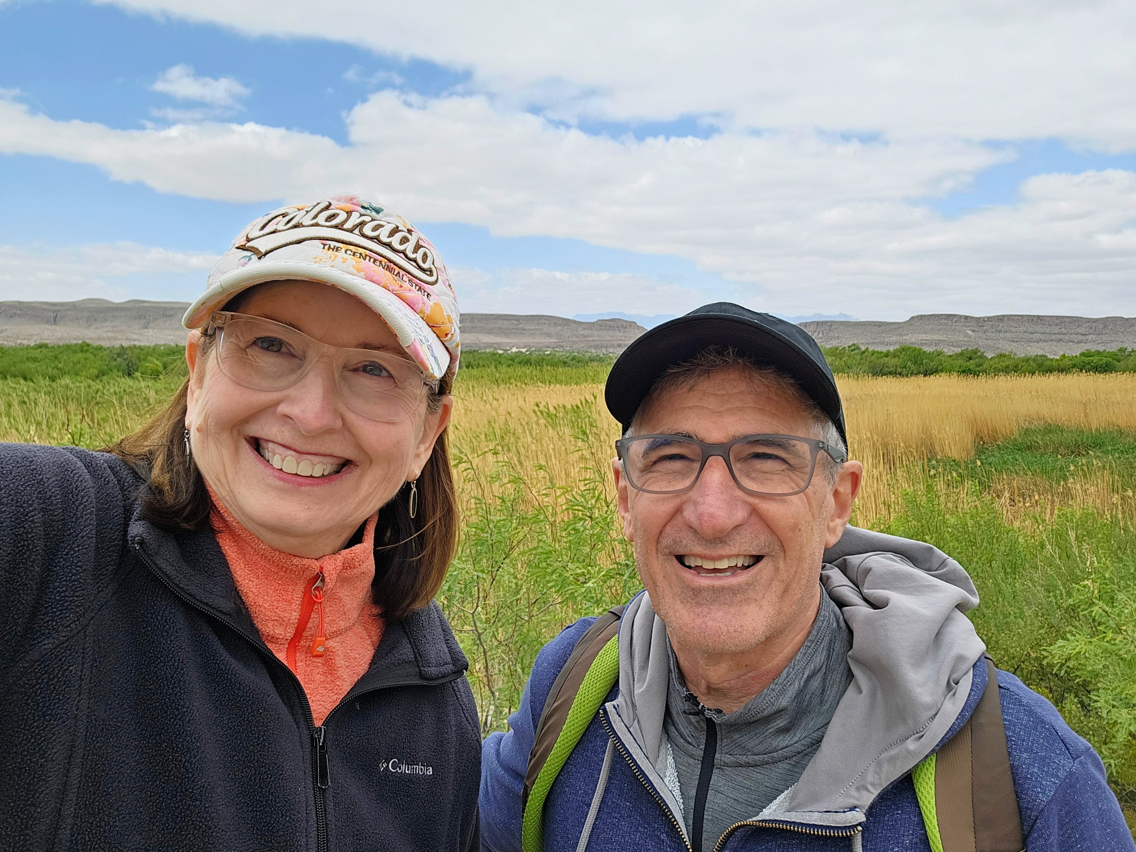
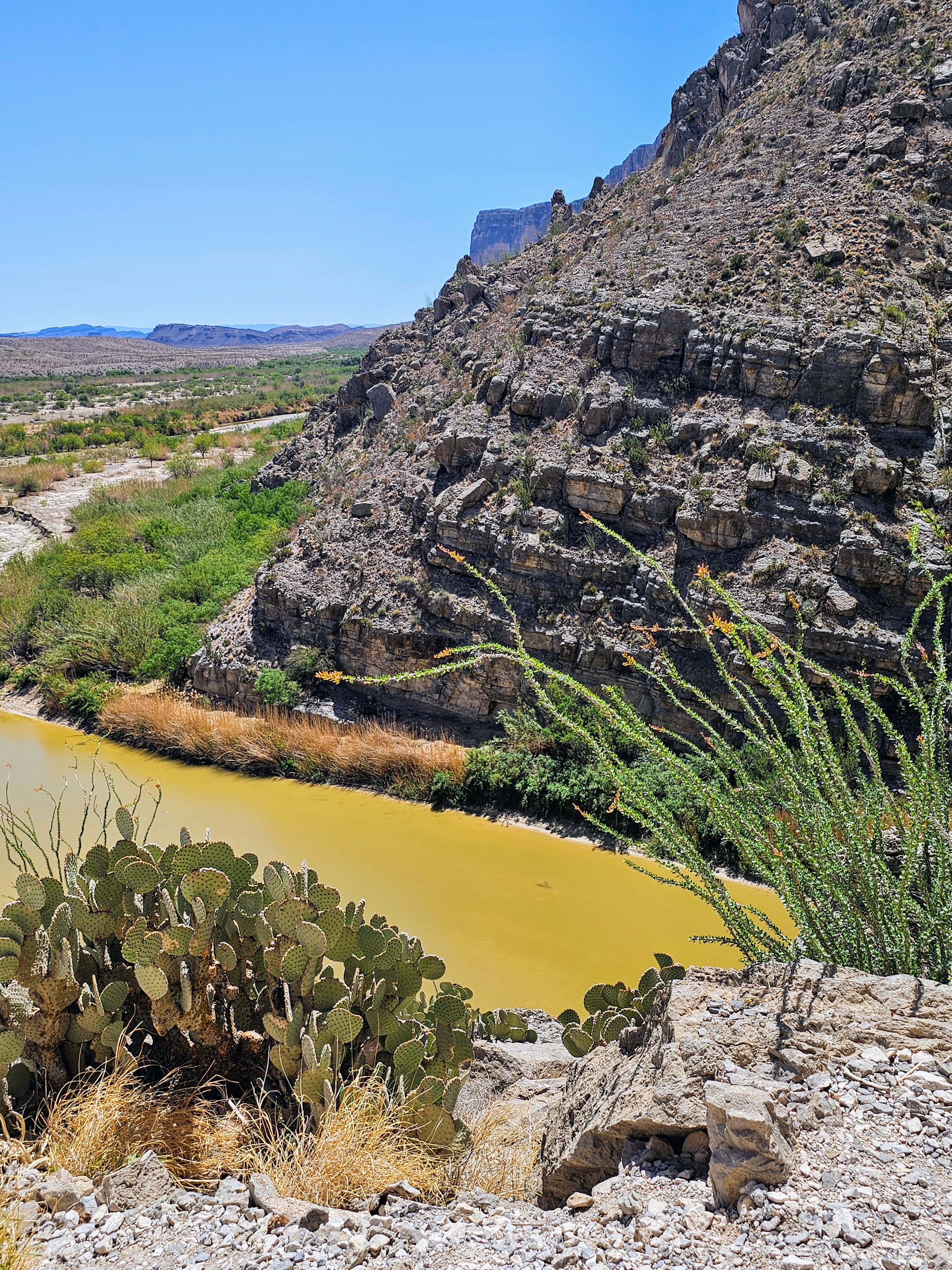
After reaching Rio Grande Village Visitor Center, we got directions to the Rio Grande Village Nature Trail trailhead and began our first trek from a campground parking lot. The trail began in a cool, marshy area but quickly changed to a sandy, rocky trail leading toward the Rio Grande River.
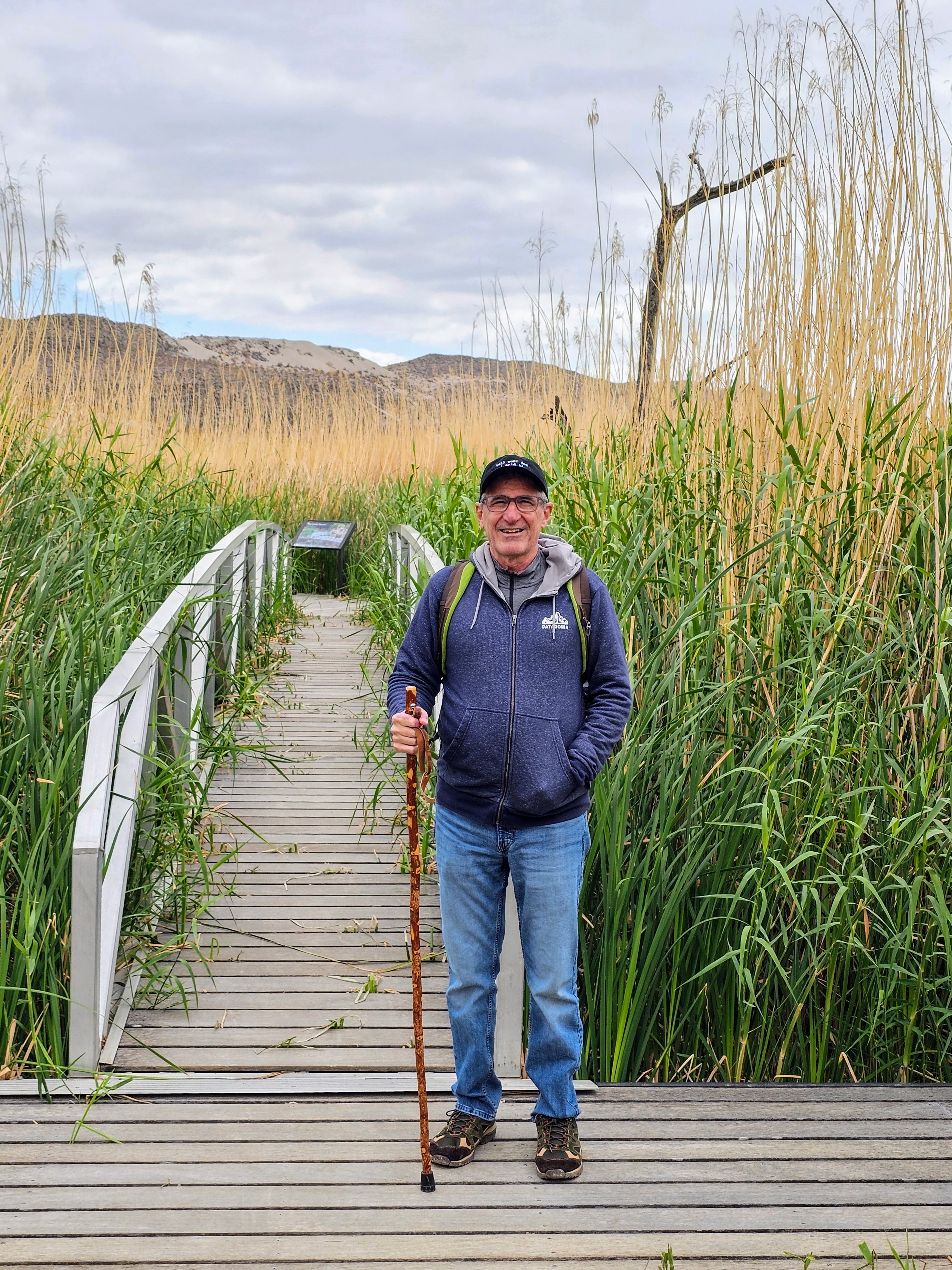
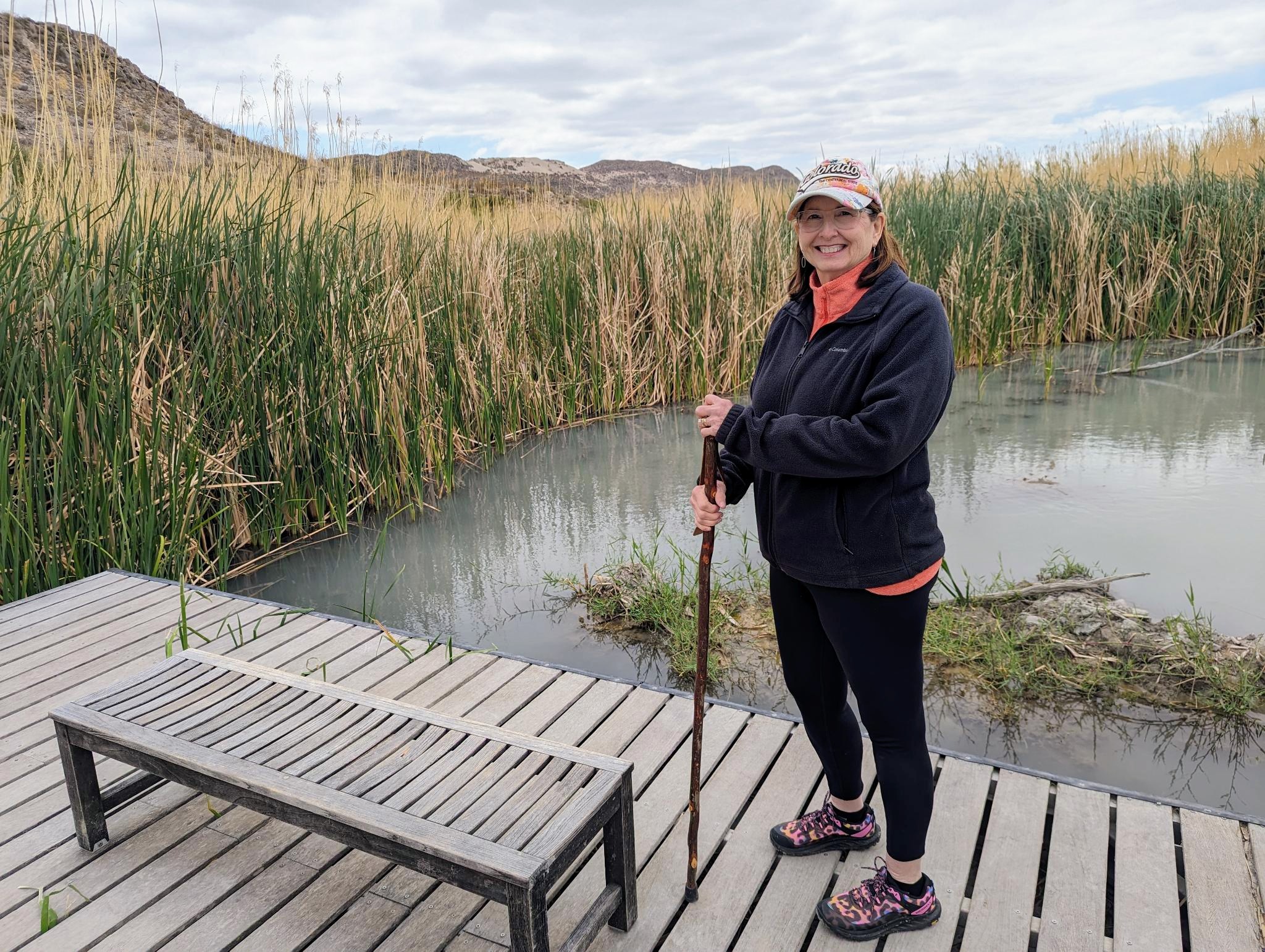
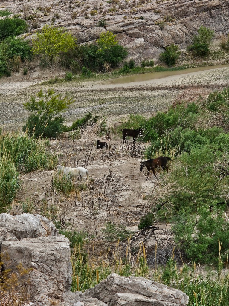
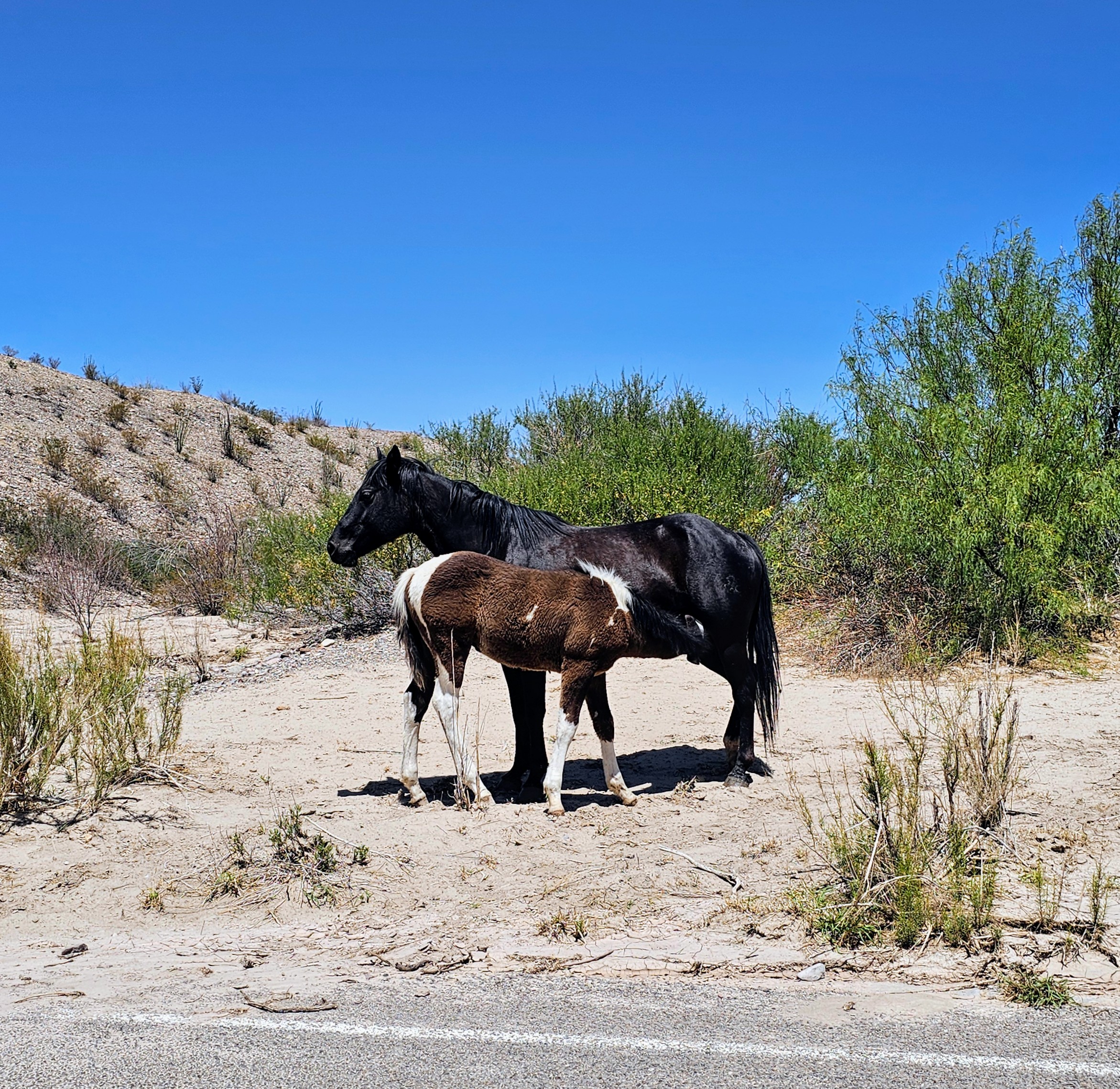
This was a great first hike to experience the park. We stepped over/around quite a large amount of horse & burro droppings on the trail and soon spotted the culprits on the riverbank a few minutes ahead of us. We walked down to the river’s edge for a quick look before heading up a steep, rocky incline that afforded us great views of the river valley below. We only saw 3 other hikers on this entire trail.

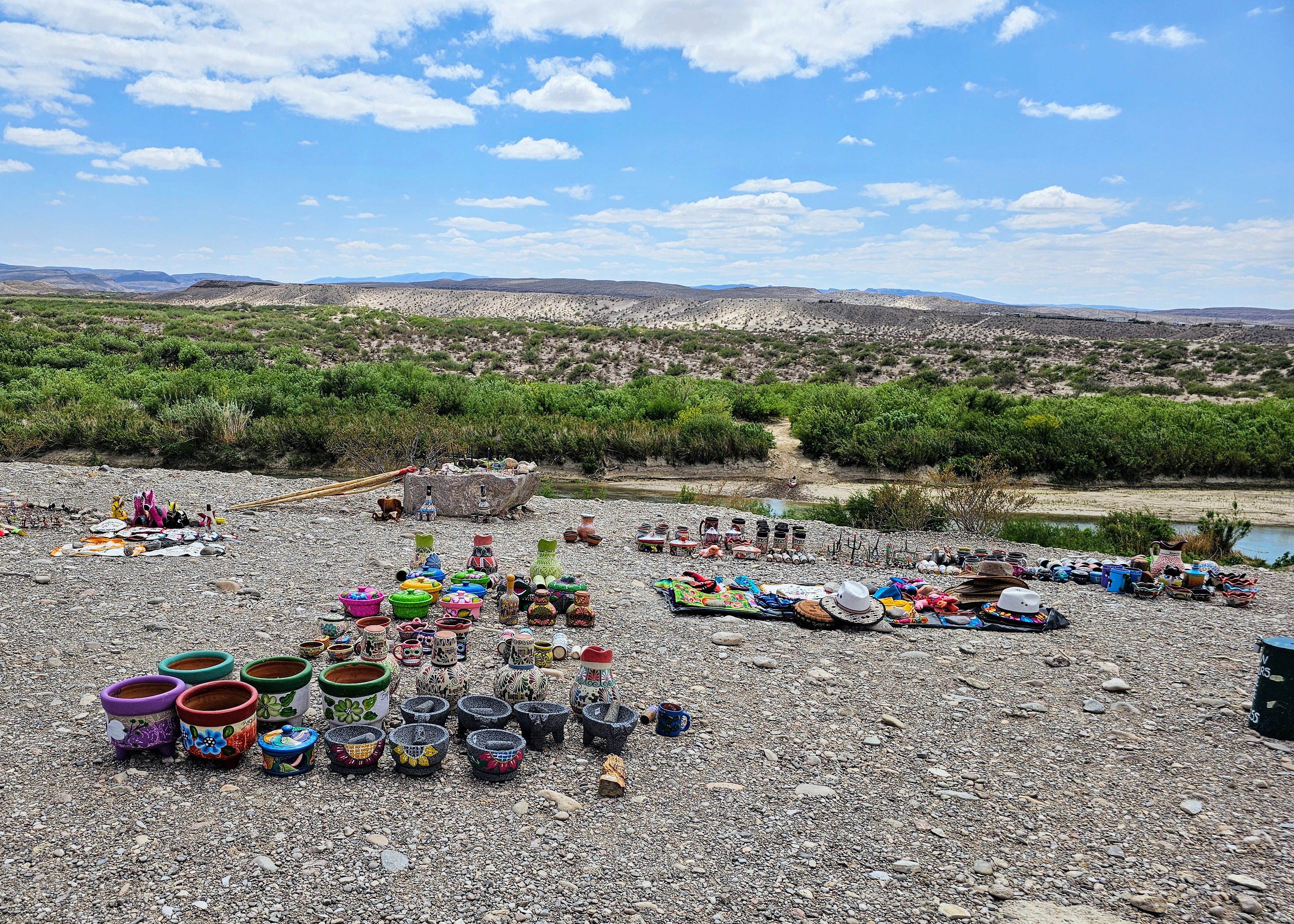
This was the first place we spotted homemade “wares” (pottery, sculptures, fabric pieces, walking sticks, blankets, etc.) for sale. The items were displayed on rocks or boards with handprinted cardboard signs indicating prices and where to leave your money. We kept wondering how, when and by what manner do these people cross the river and set these up? We came across these “little stores” in all areas of the park but never saw any of the actual vendors. My husband read later that items purchased from these spots along the trails can actually be confiscated at the U.S. Border Patrol. Sad, but true.

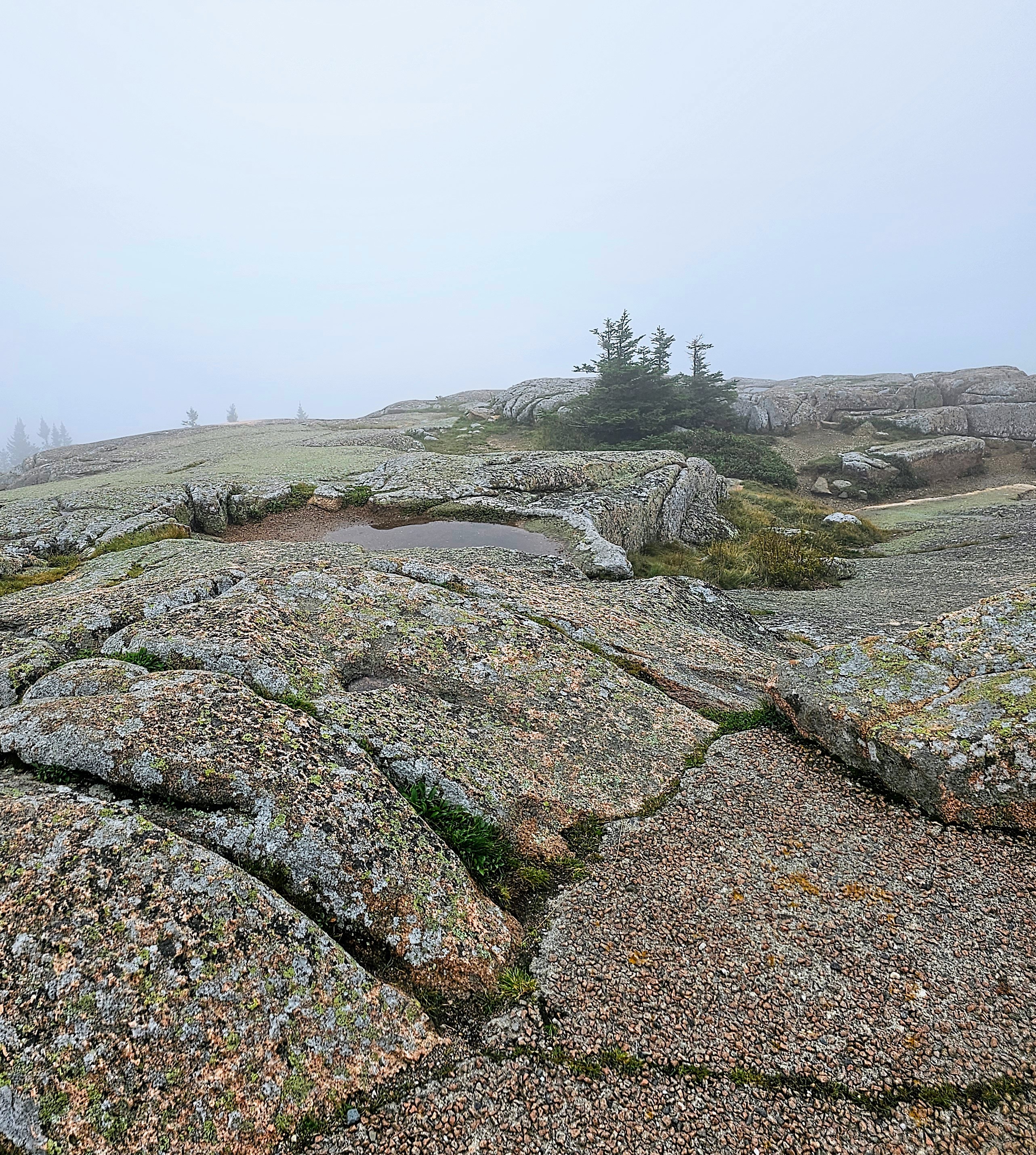
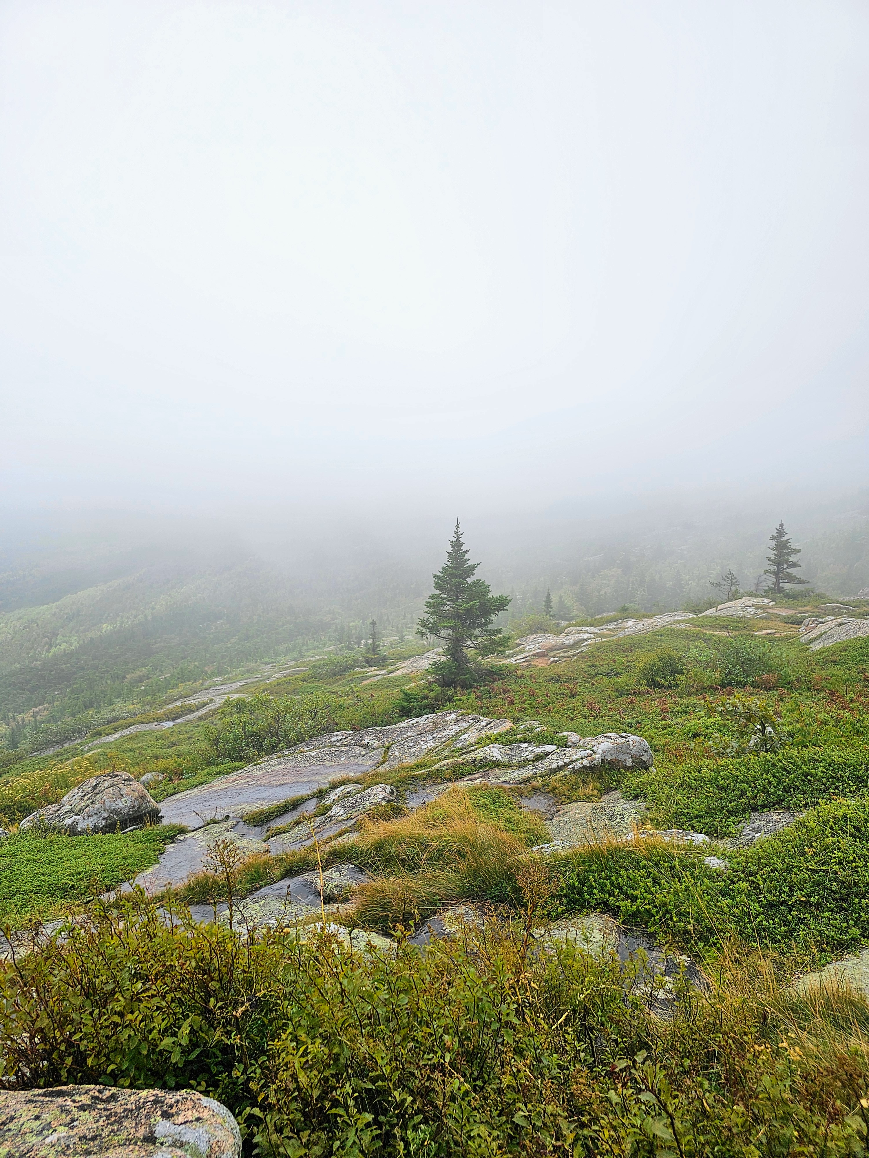
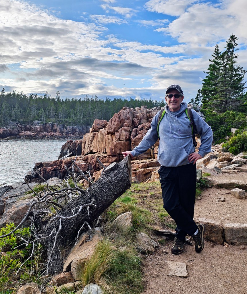
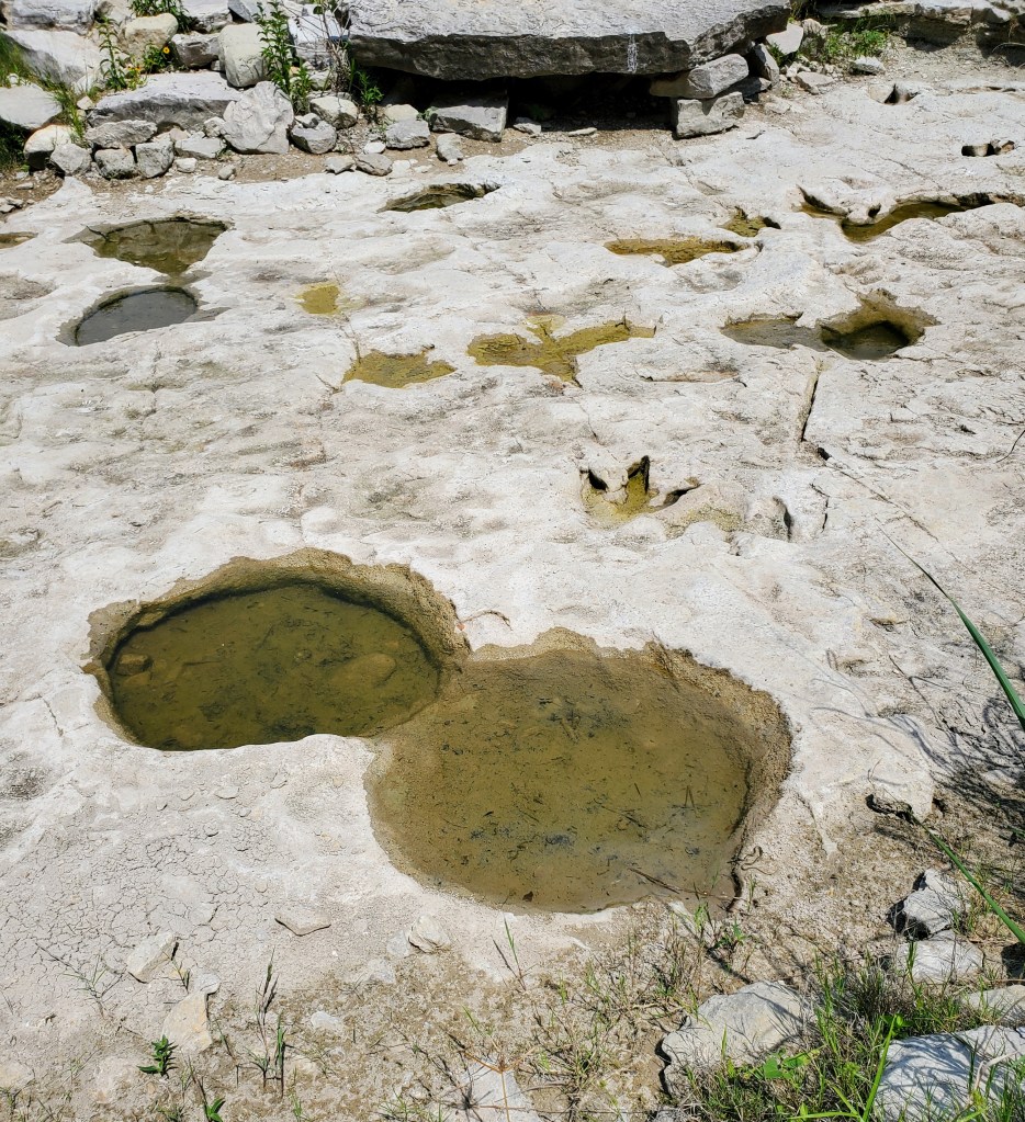
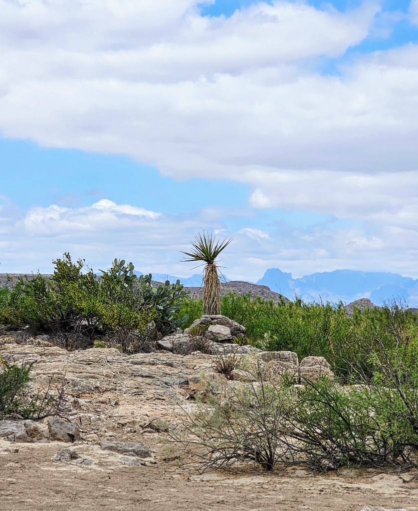
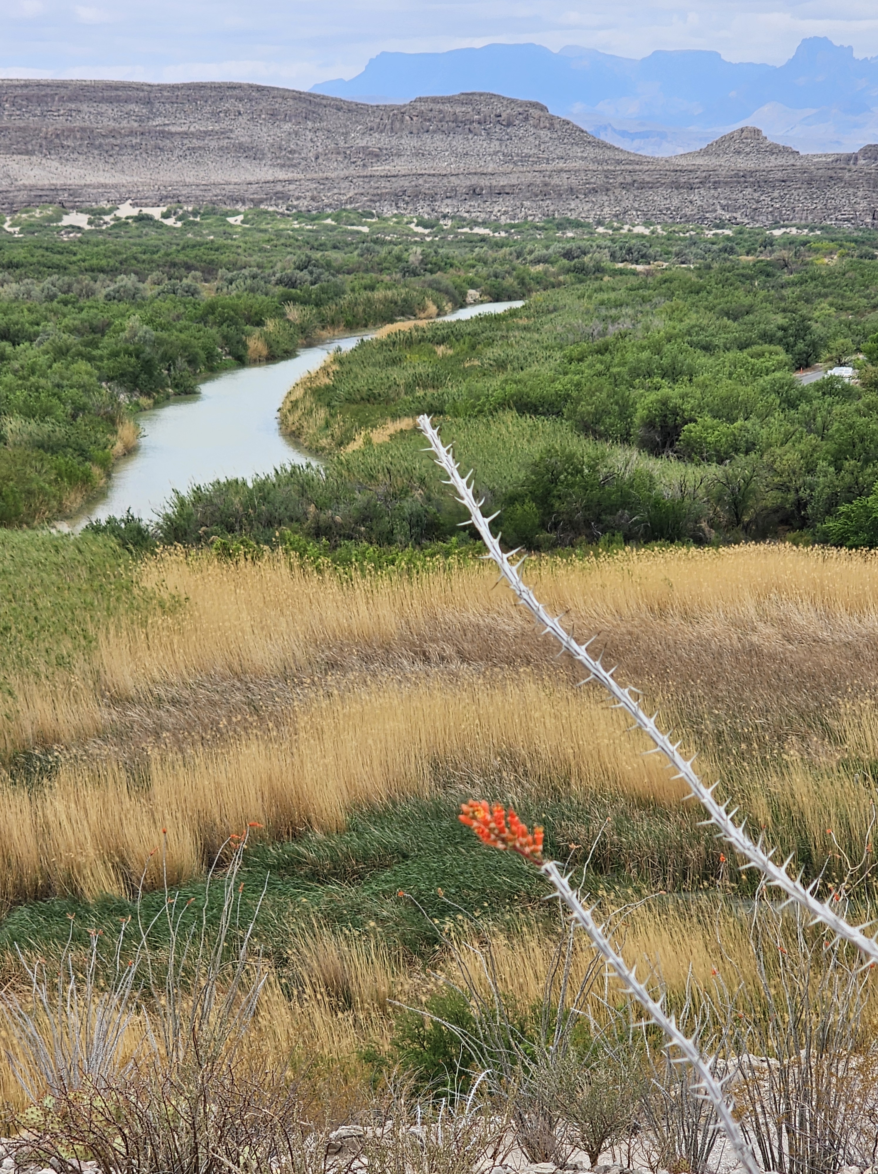
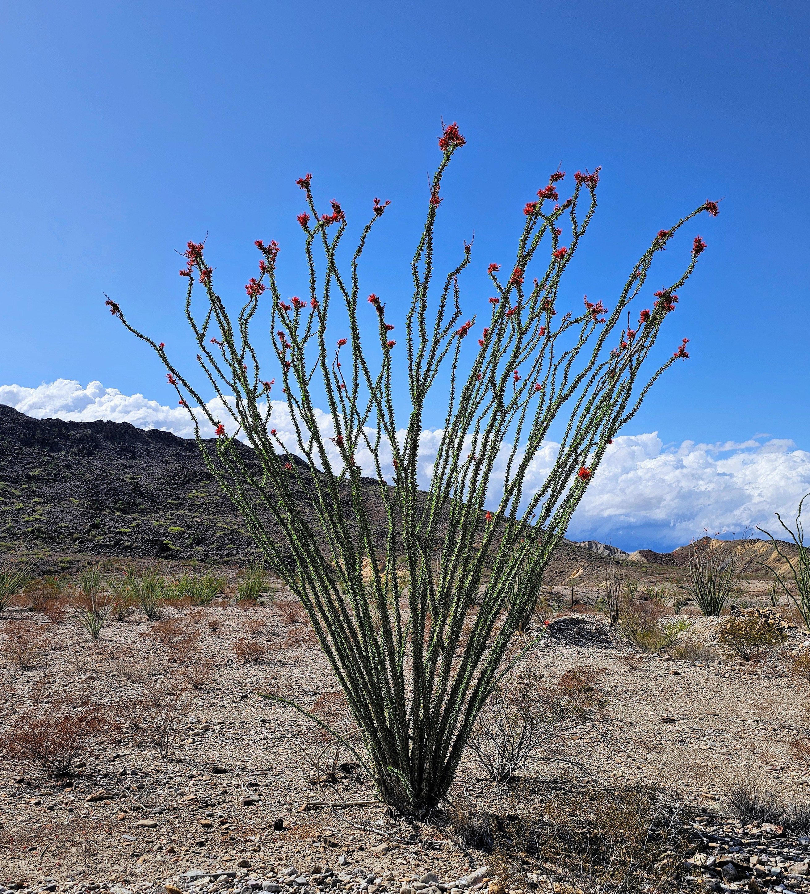
Back to the hiking – we followed this trail up onto a high lookout point and enjoyed the view below. As we stood on the rocky precipice, we could see all the colors of the Chihuahua Desert. There were green marshy areas and cacti, white sandy river banks, yellow/brown water, blue skies, grey burros, black and white horses, and brown rocky terrain. There were also red ocotillo blooms and my red face from the exertion of the uphill climb! Going back down was much easier, thankfully.
Fun!!
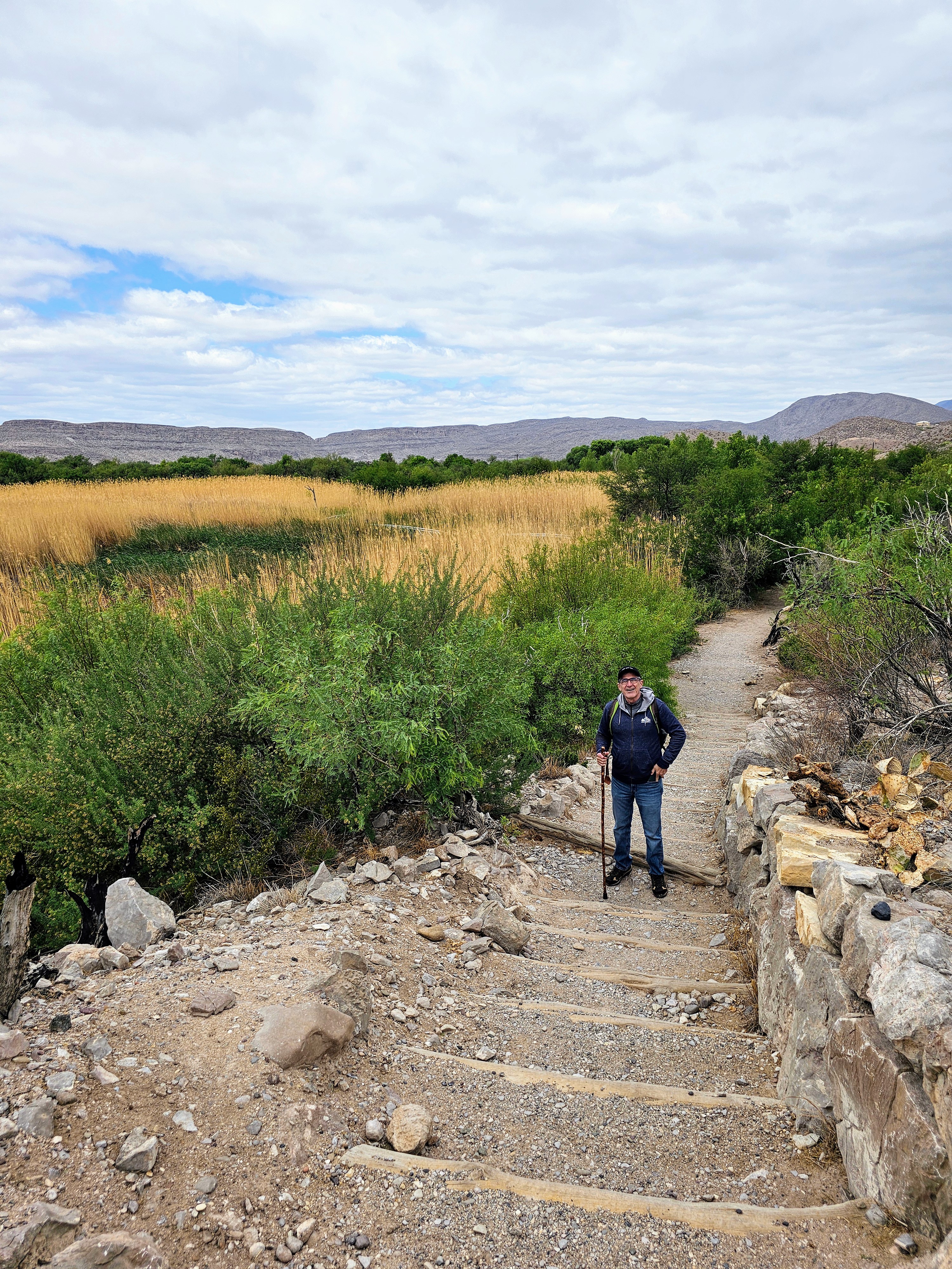
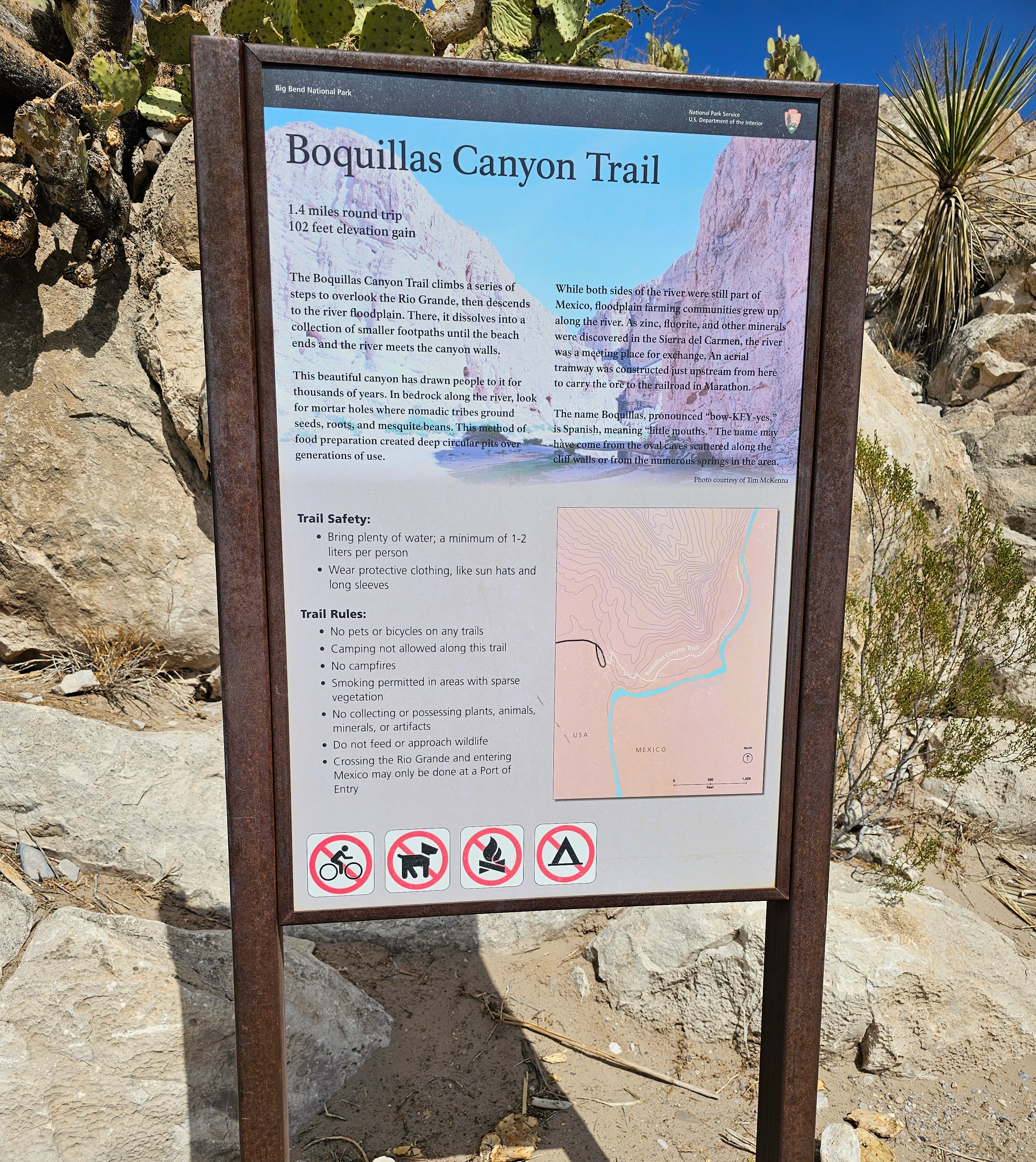
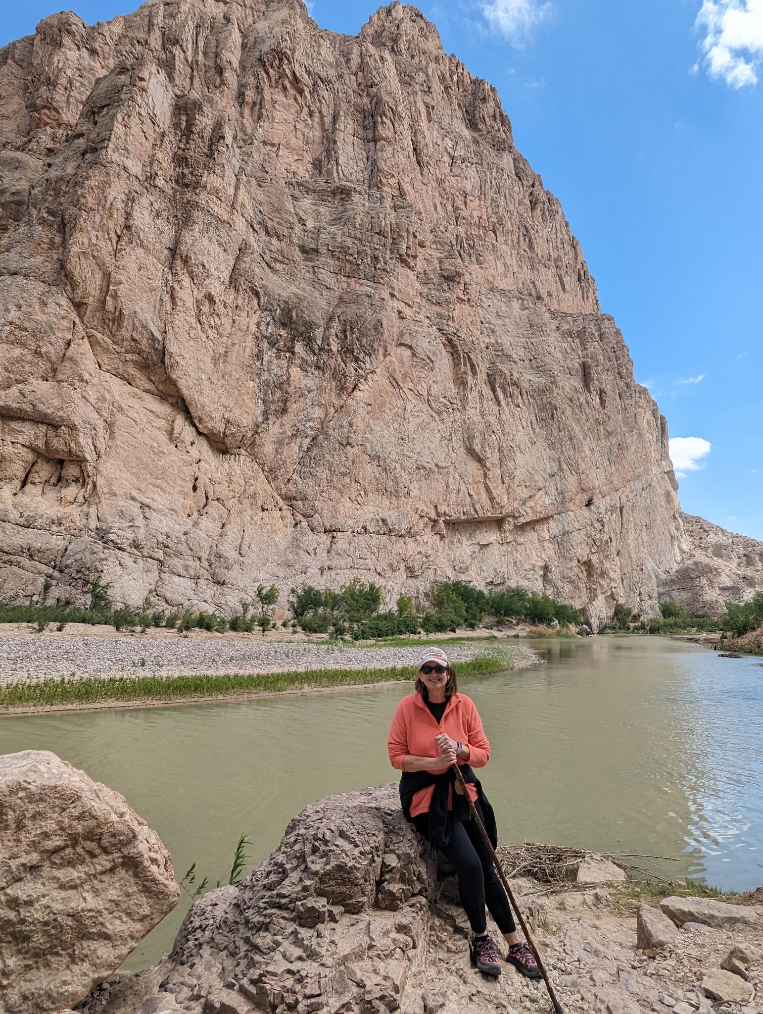
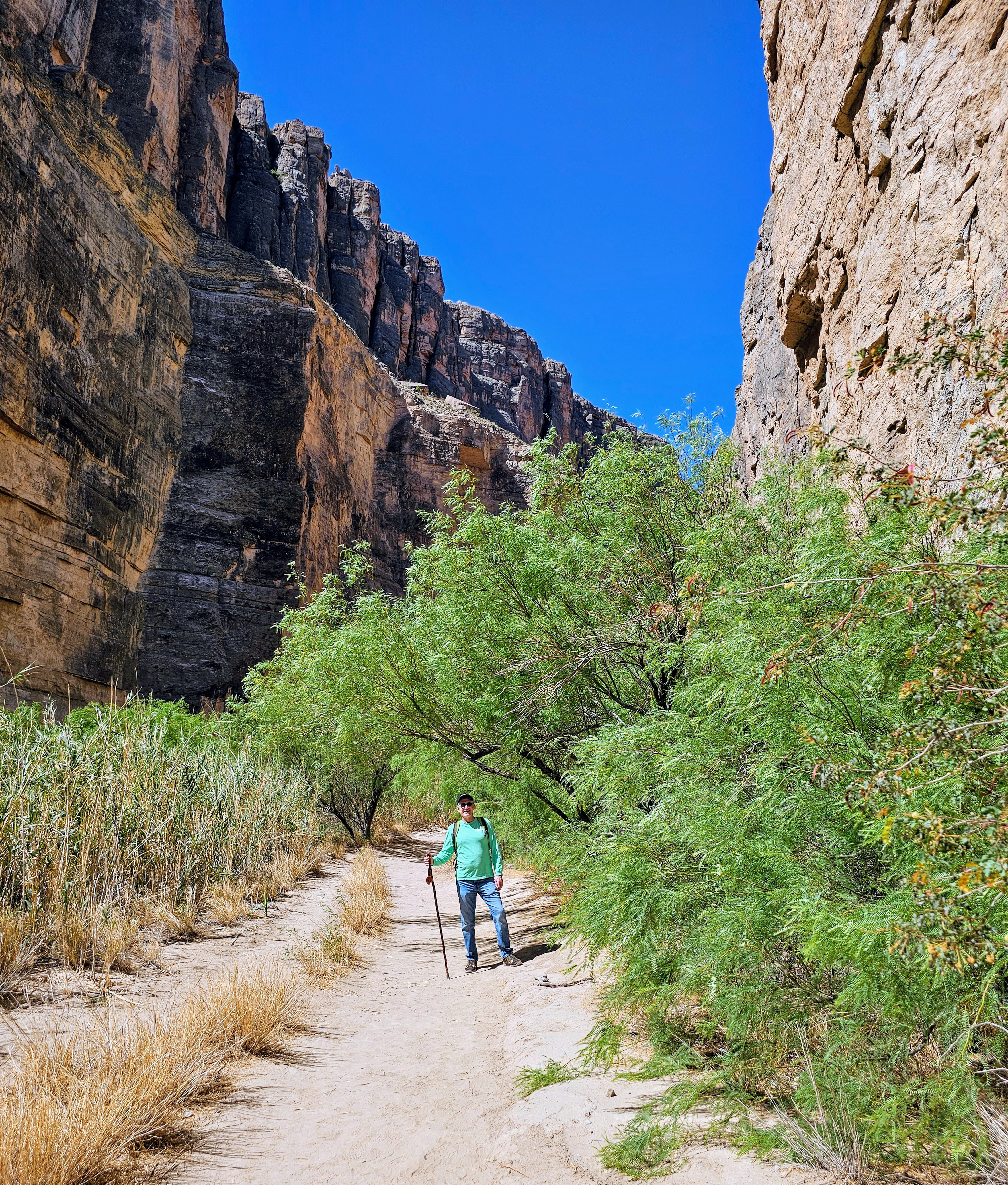
After a picnic lunch back at the visitor center and some much-needed hydration, we were off to hike the Boquillas Canyon Trail located just a few minutes away. There were a few cars in the trailhead parking lot here and we encountered maybe a dozen people on this trail. The trail had quite a few ups and downs before leveling off and following along the river. The path was mostly rock and packed dirt. This ended up being a very pleasant stroll that took us about an hour roundtrip.
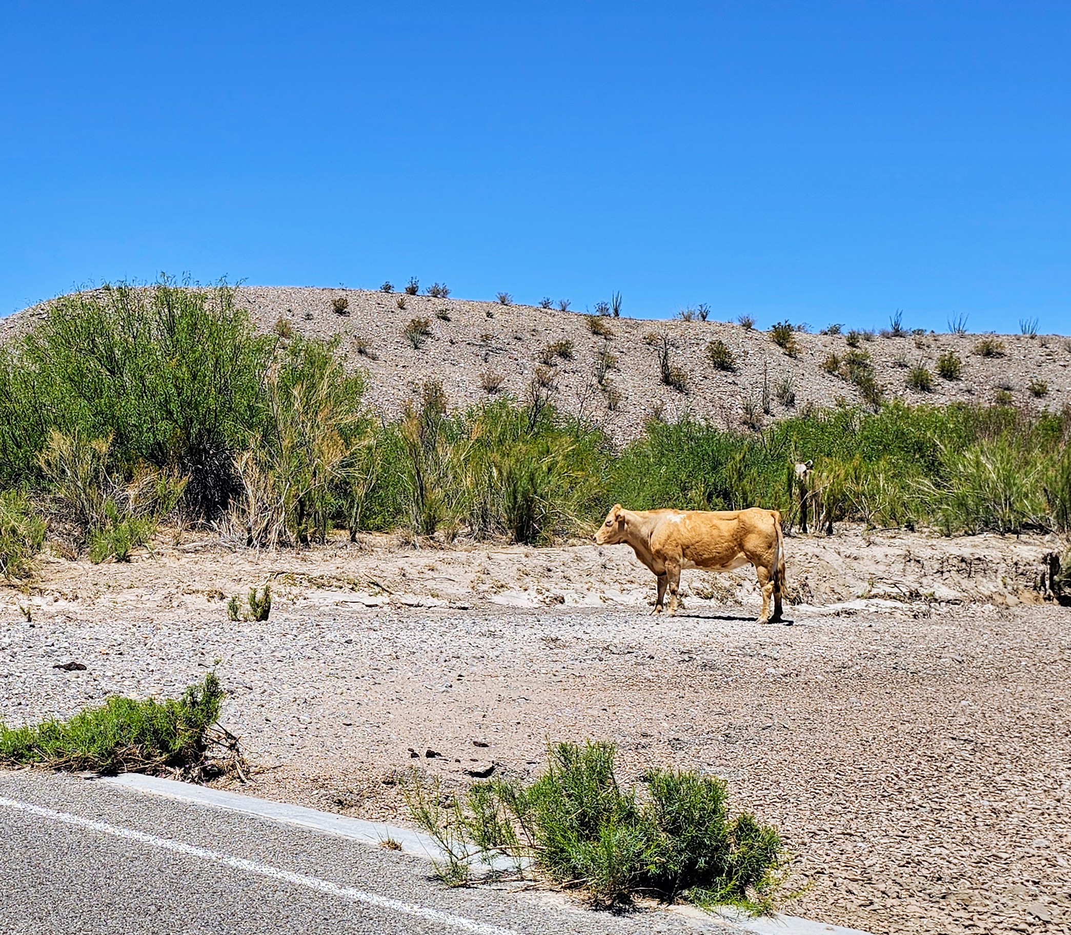
At one point, we were quietly walking down the trail in a shady area and came upon three “free-range” cattle napping beside the path. This was certainly not something we turn a corner and see everyday! Luckily, they were friendly, sleepy or both.
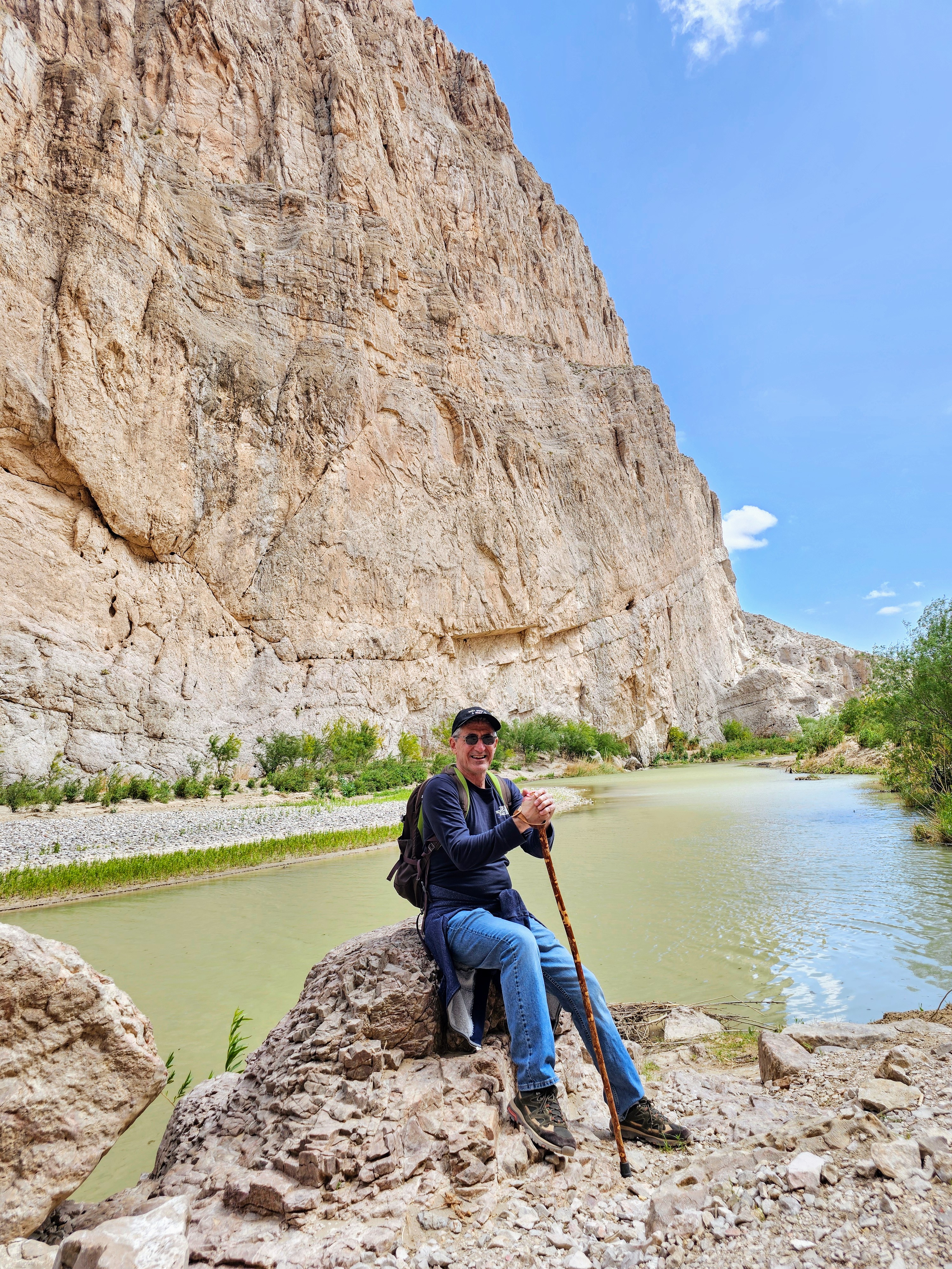

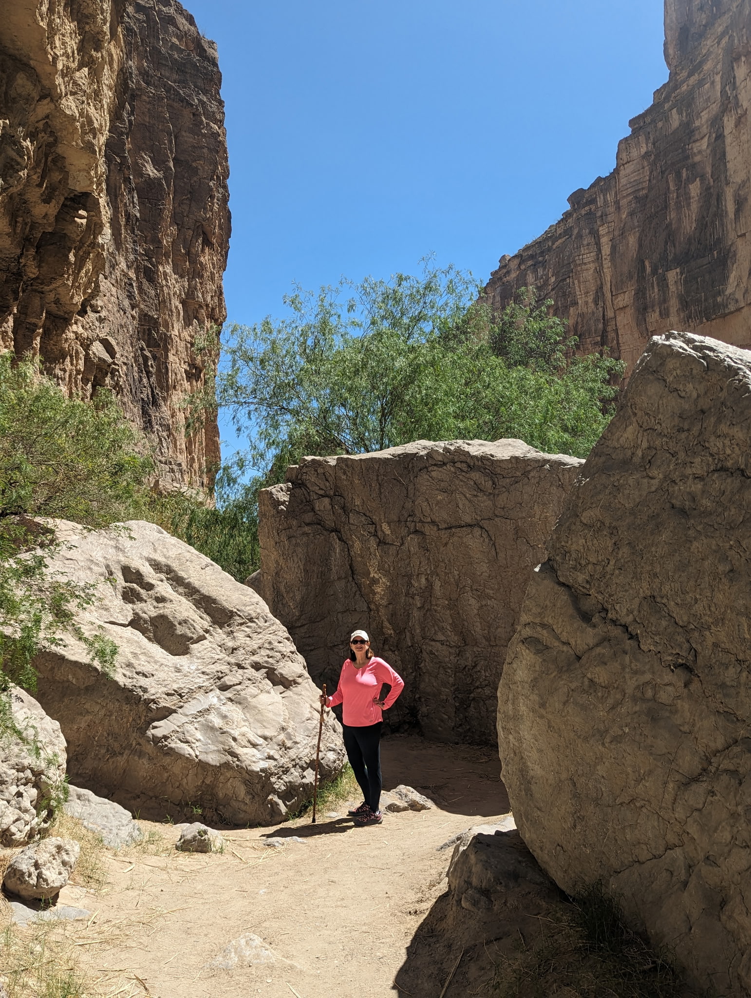
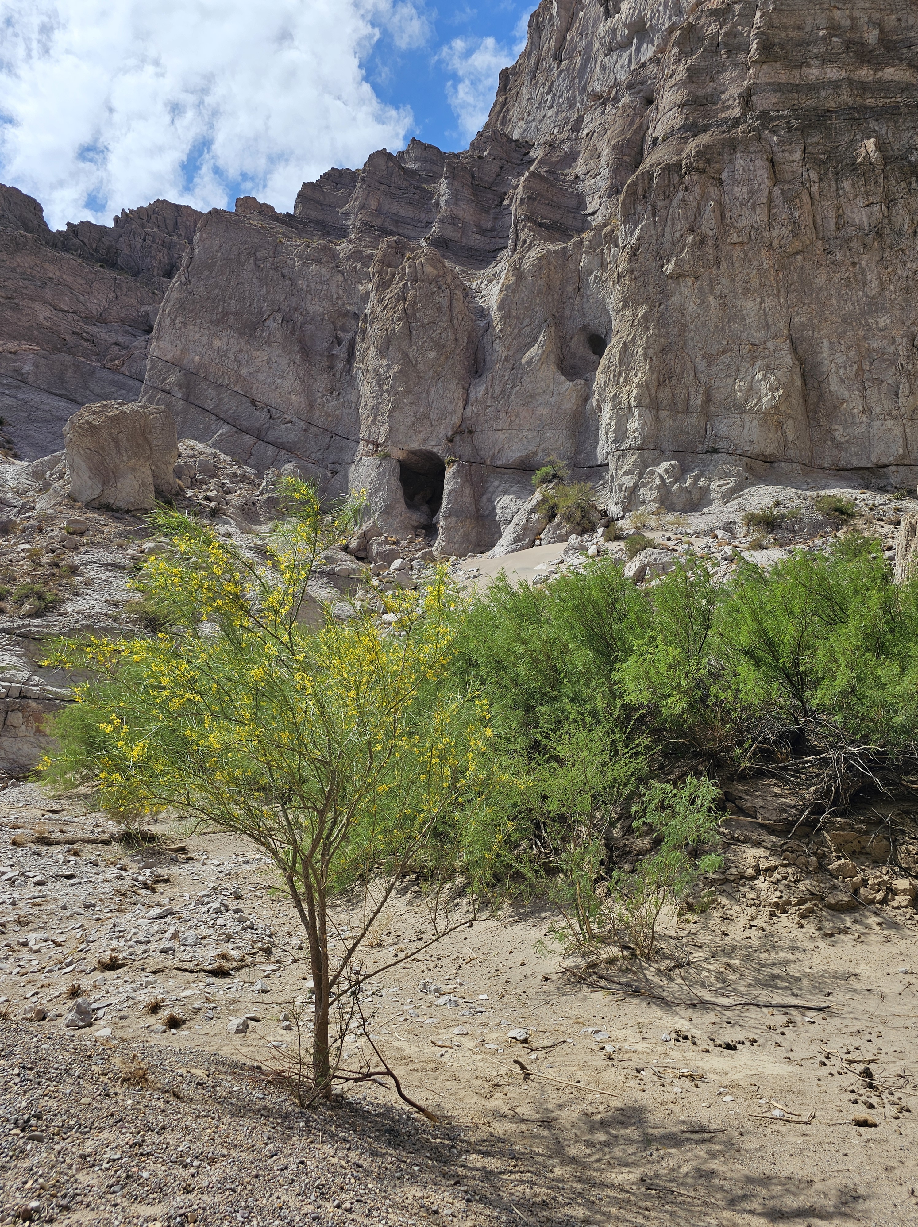
The trail eventually led us to the entrance of a high limestone gorge and the end of the hike. It was a very scenic spot with high walls and big boulders and was well-worth the effort to see. We enjoyed the view for a few minutes before turning around and heading back. We had hiked over six miles our first day and it was over all kinds of terrain.
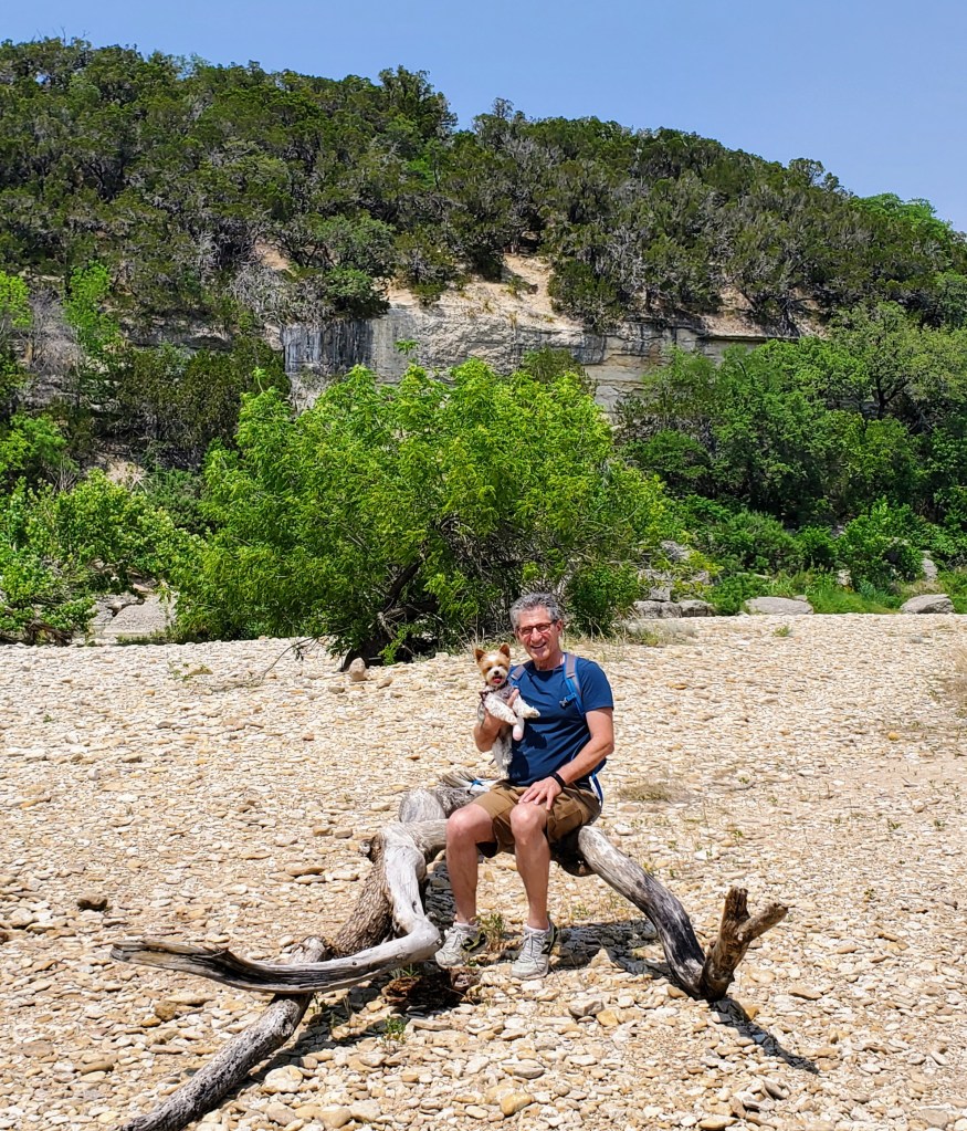
Day one was complete. We were both tired and hungry and more than ready for dinner and a much-needed shower. We both laughed as I literally poured sand out of my hiking shoes and onto the floor back at our rental. You know you have had a great day when your shoes are full of dirt!
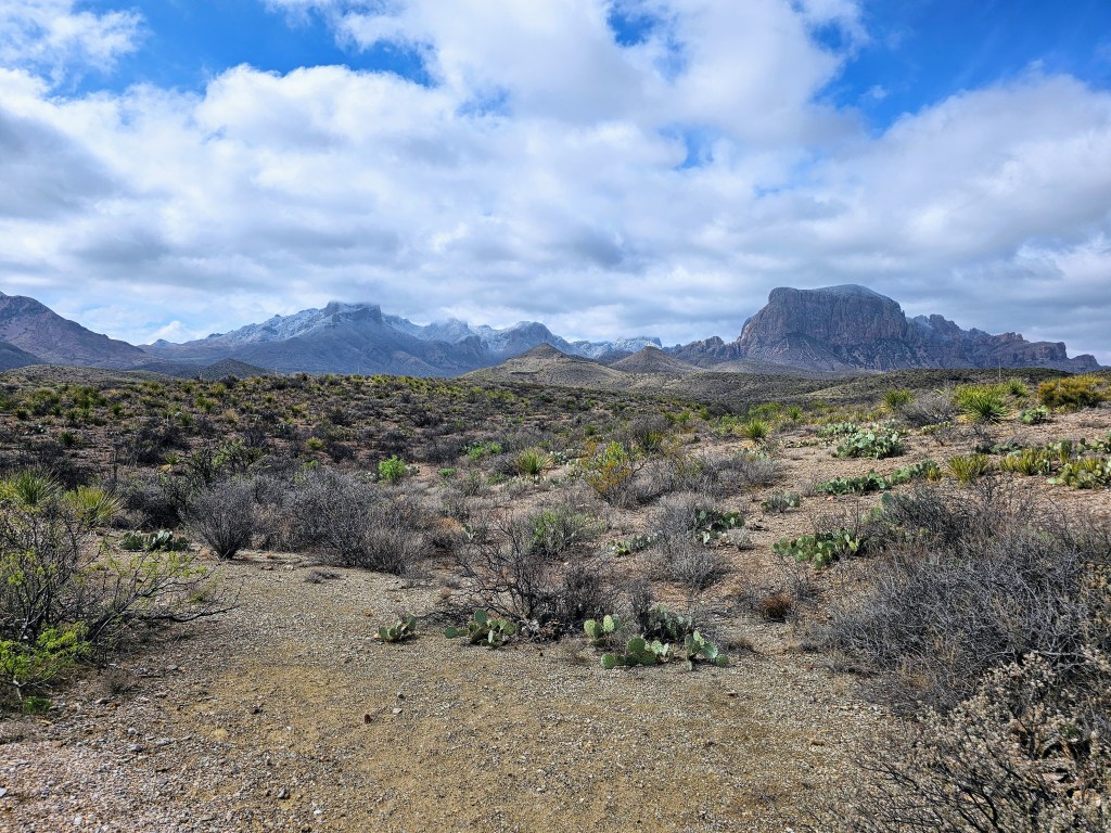
Day two began with an early morning drive to the southwestern part of the park. We drove the thirty-mile Ross Maxwell Scenic Drive and headed to Santa Elena Canyon, the most popular spot in Big Bend. The drive to Santa Elena Canyon was very picturesque and we made several stops along the way. The landscape was constantly changing – desert, ancient volcanoes, mountains, canyons, hoodoos, etc. As we got closer to the border, we could see the area where the large rock walls appeared to be separated, forming the canyon. That was going to be our destination.

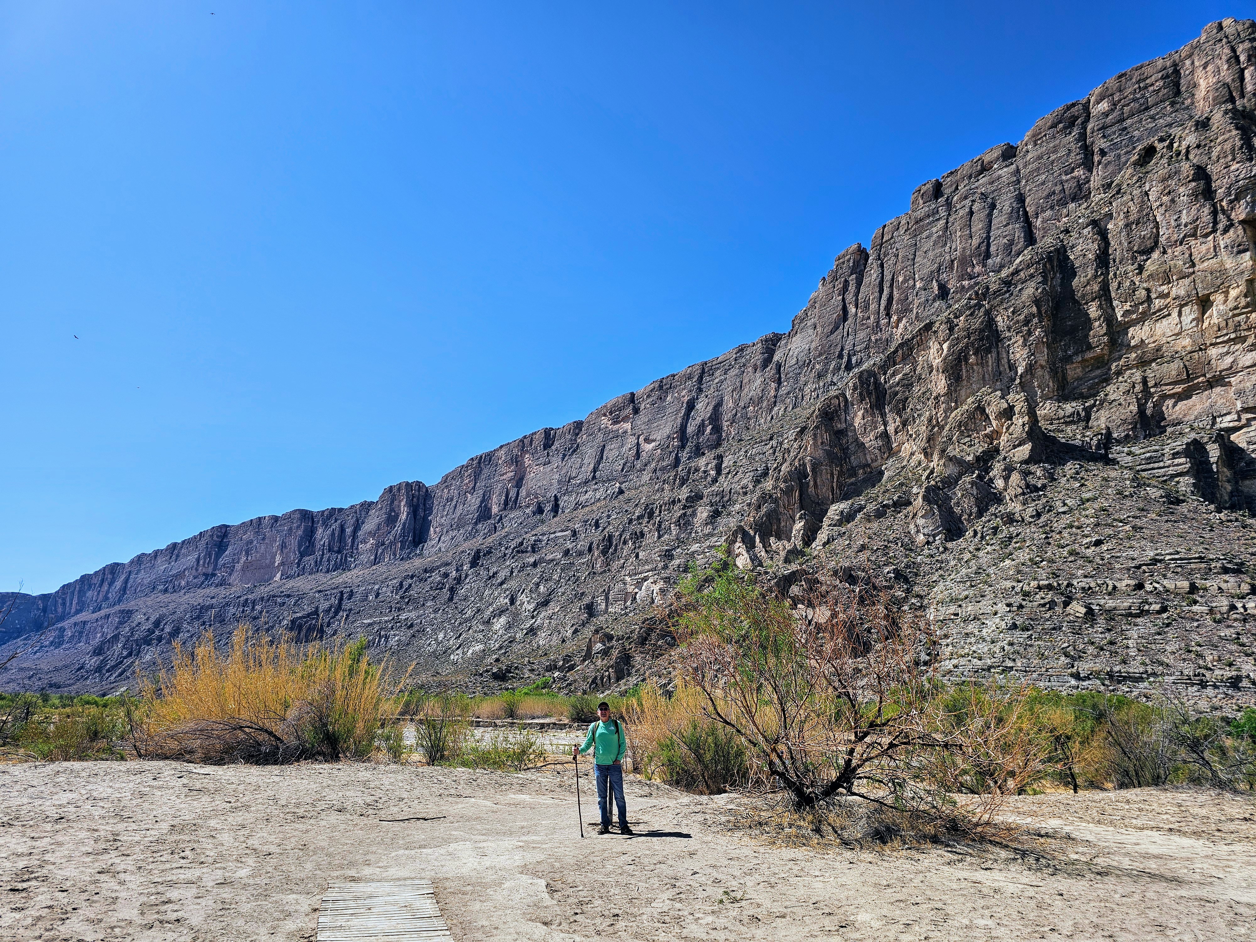
The Santa Elena Canyon Trail parking lot was fairly full and we did see more people here than all the other places in the entire park combined. The trail began from the parking lot and soon crossed Terlingua Creek. Luckily for us, it was not muddy and was more of a dry creek bed on this day. We did have to climb up a steep bank and follow a dense, winding trail to the actual start of the canyon hike.
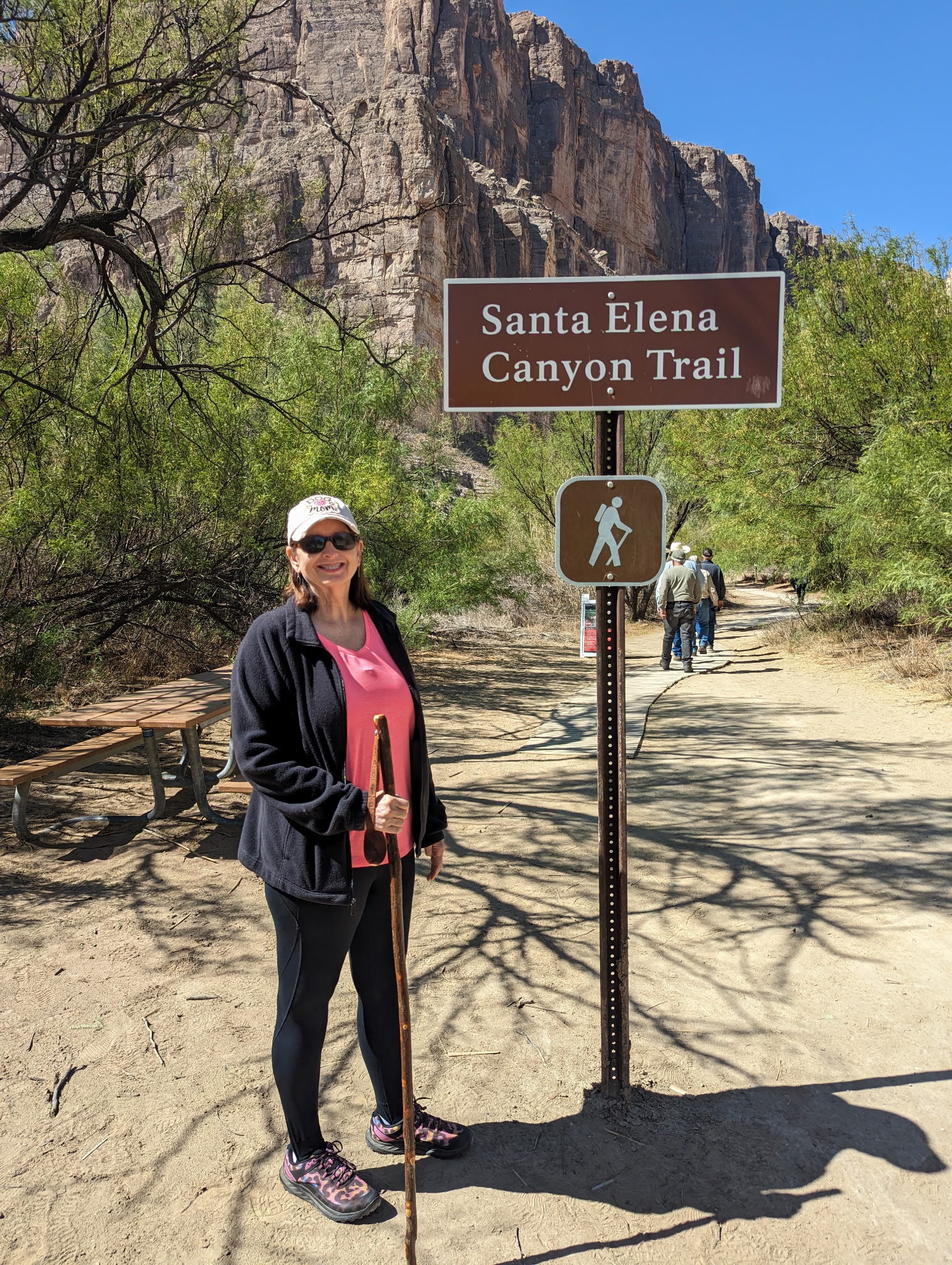

This trail was listed as “moderate” and we saw several people turn around on the first leg, which was quite strenuous. The trail began by going up a rocky ledge, full of switchbacks, without any guardrails at the top. I tried to hang on the inside as much as I could and not look down! Once we got over the first half of this hike, the second half was a piece of cake and leveled off along the river bank.
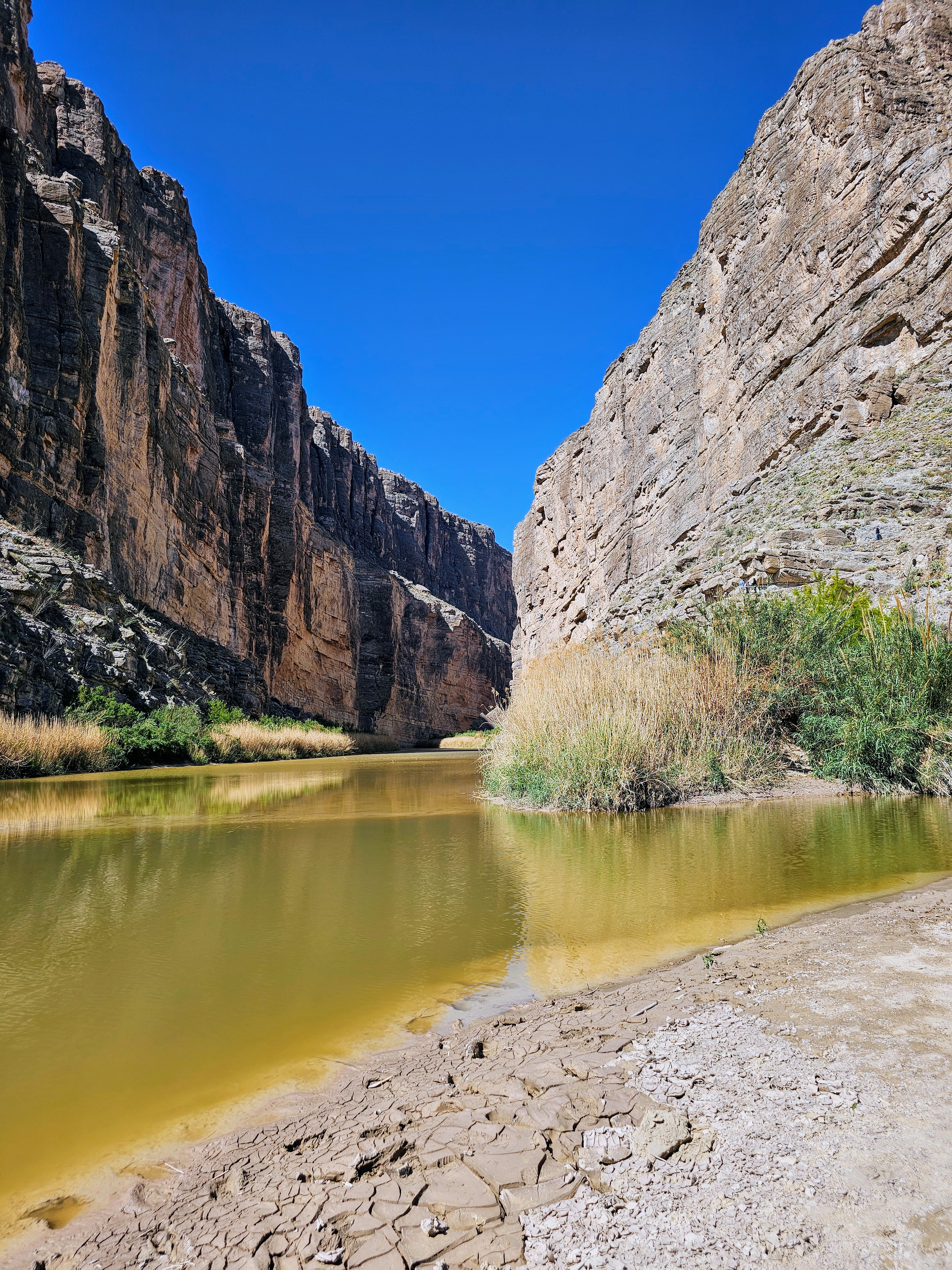
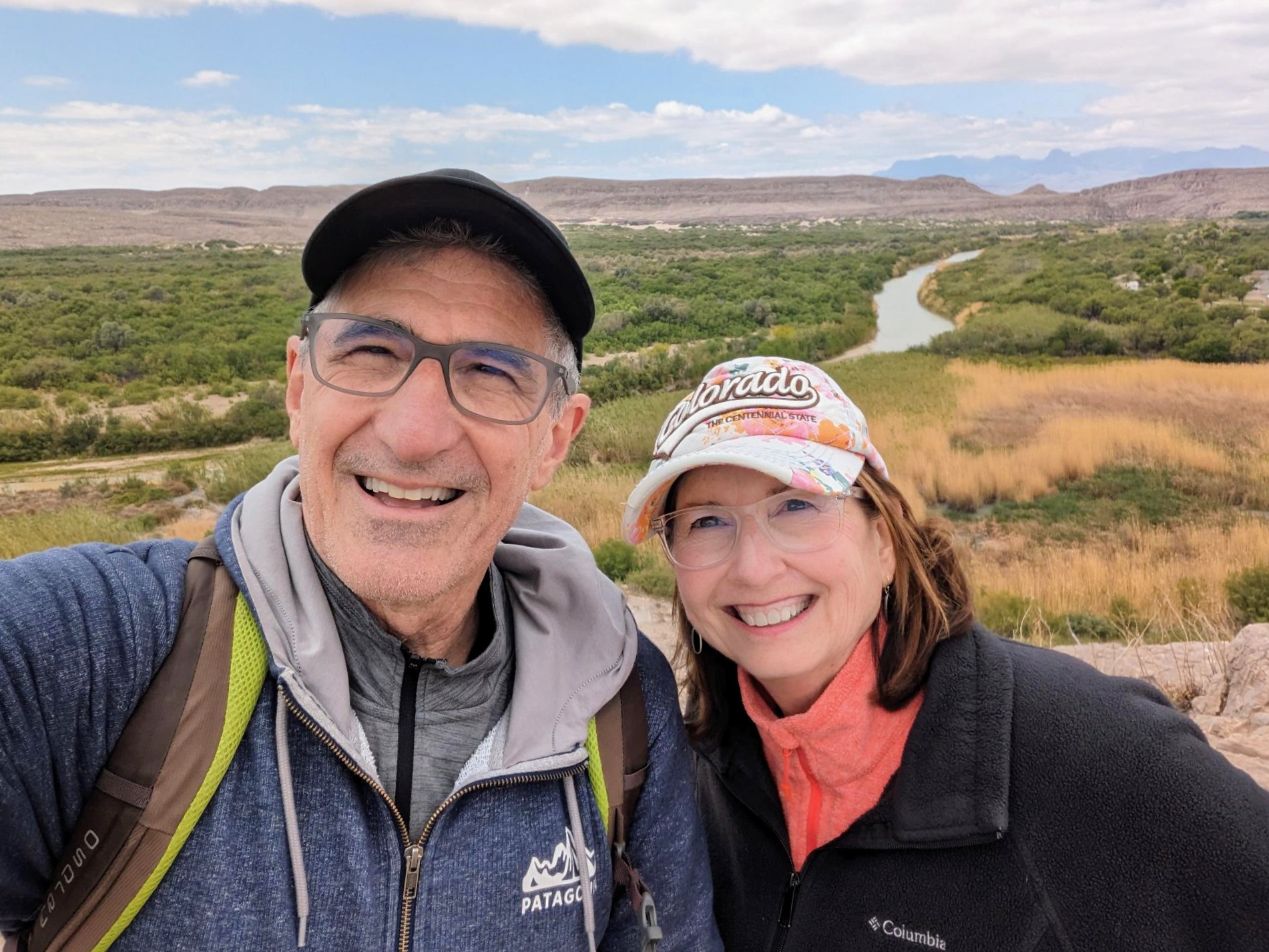
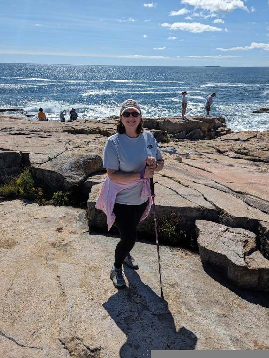
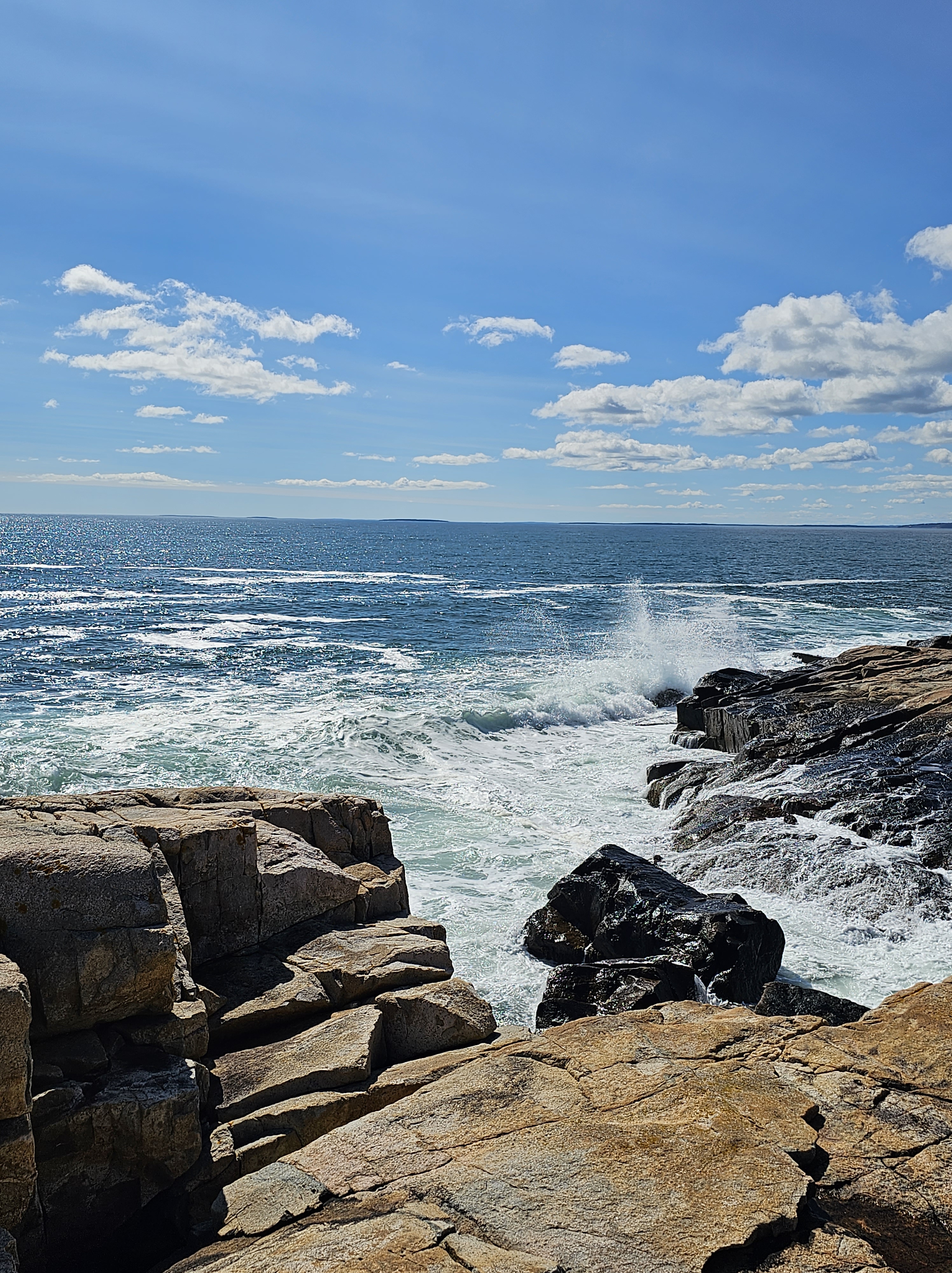
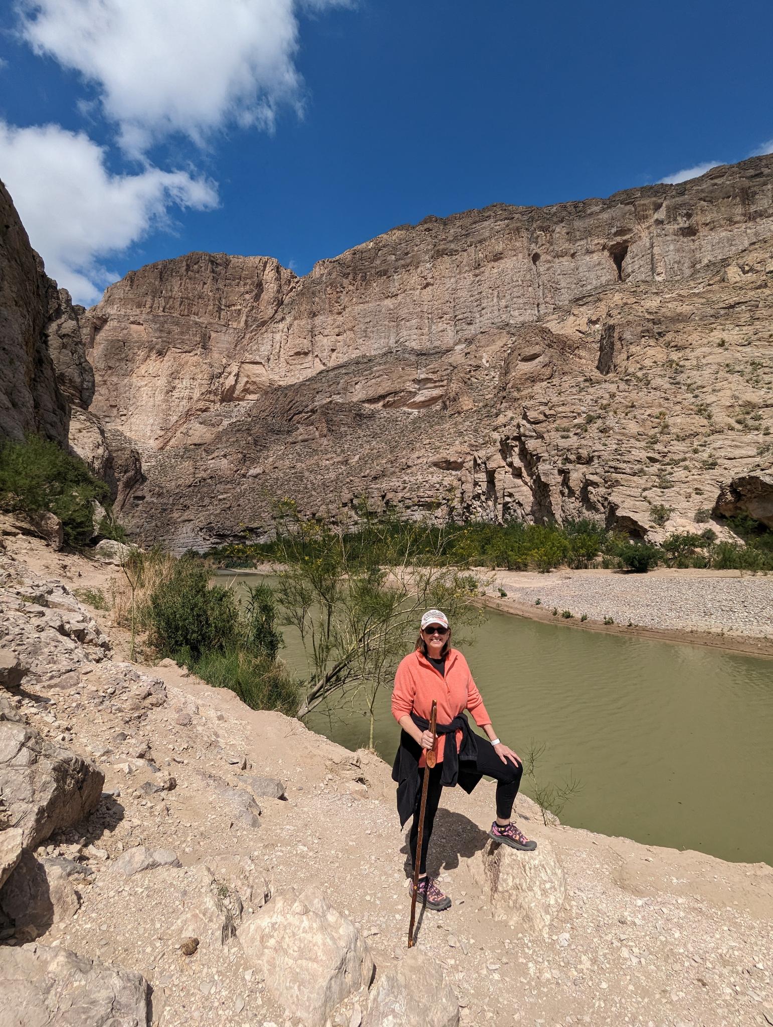
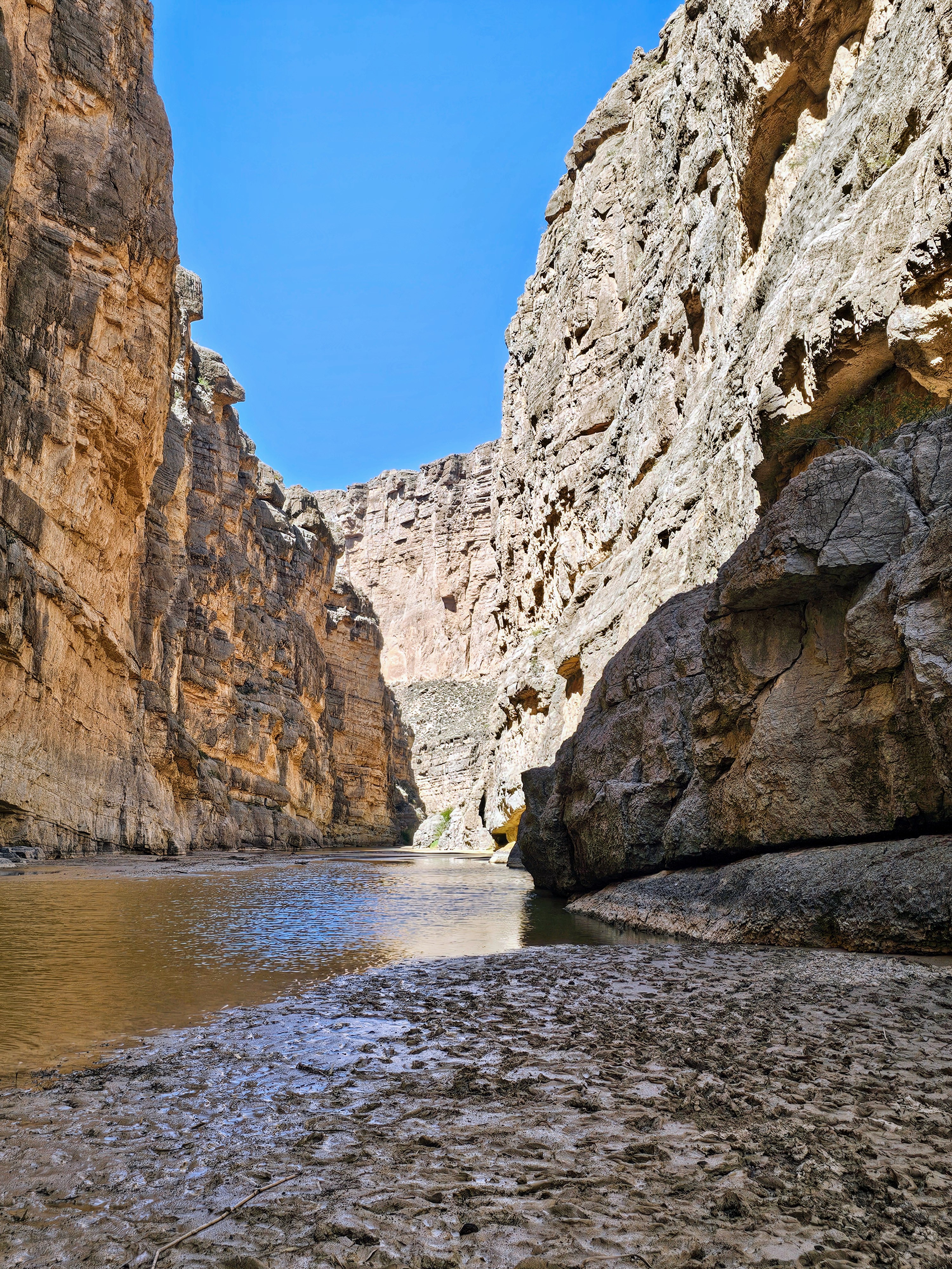
This was a two-mile round-trip trail located between sheer cliffs and towering rock walls with the sleepy Rio Grande River in between. The United States was on one side – Mexico was the on the other. The path led us through huge boulders and rocks until it ended on a sandy bank where the canyon wall met the river. What you see here is the narrowest point in the entire Santa Elena Canyon and it was a spectacular sight. It was very quiet. It was very peaceful. It was very easy to understand why this place was so popular. Gorgeous scenery!
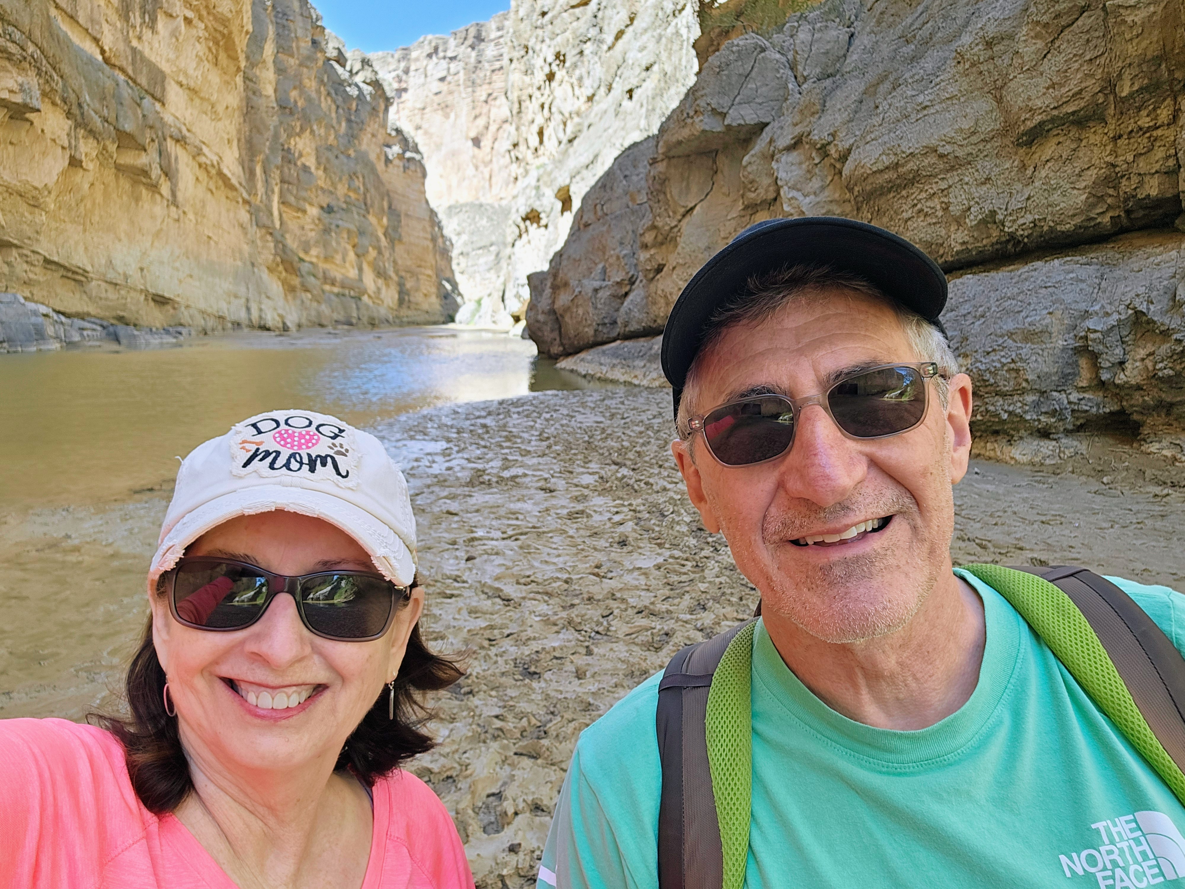
We heard an owl “hooting” up above us while we were standing there on the canyon floor. It called out several times and the sound echoed through the canyon walls as we made our way back to the trailhead. This was one of those days that will forever be etched in my memory. It was such a beautiful, natural place.

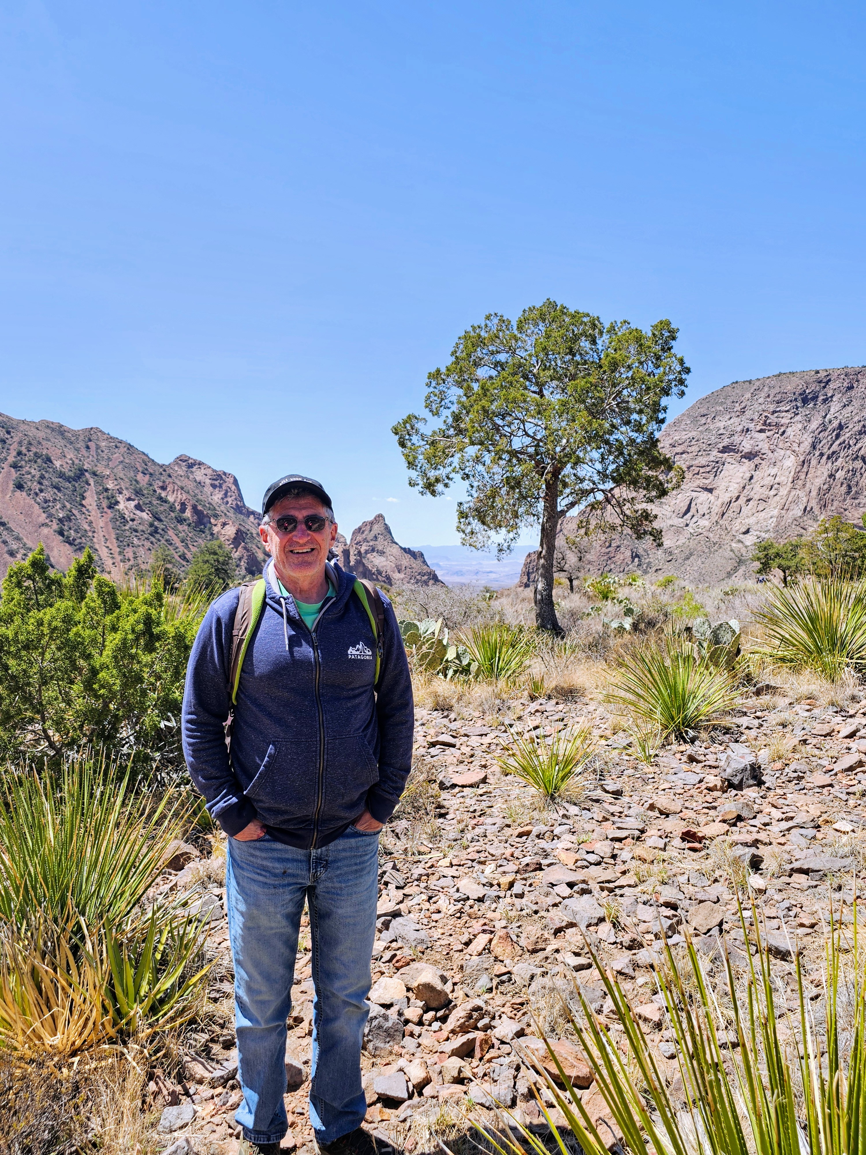
After a picnic lunch near the parking lot, with a curious roadrunner on our table, we headed to the Castalon Visitor Center. We made a brief stop there and then drove onward towards the Chisos Basin. This was located more in the central area of the park and is where most of the park’s mountains and forests are located.


The park road gained elevation as it climbed into the Chisos Mountain Basin, a scenic valley surrounded by craggy mountains. This area is the heart of Big Bend and is home to the only mountain range totally contained within a single national park. This area is also home to black bears and (gulp) mountain lions!
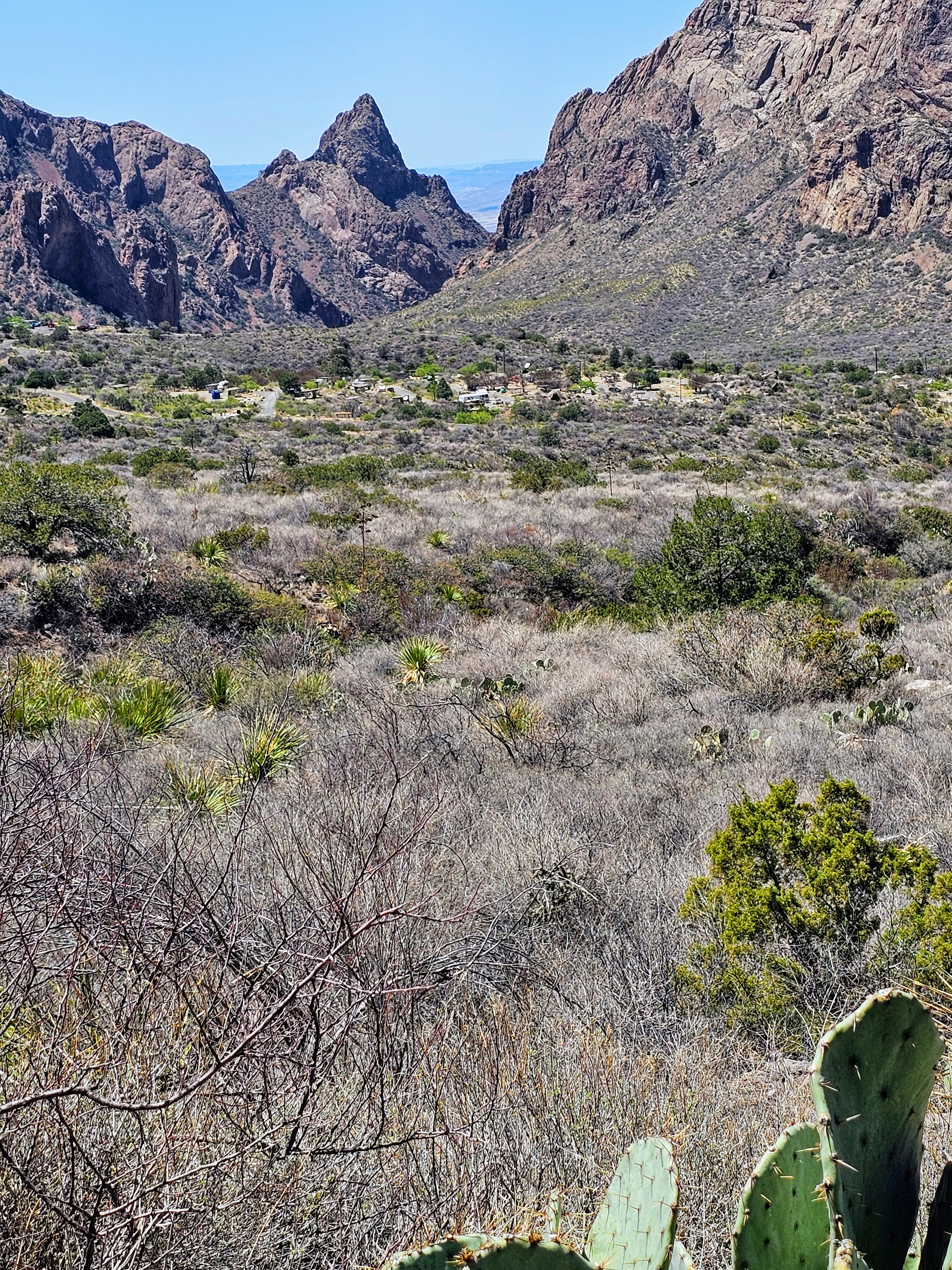
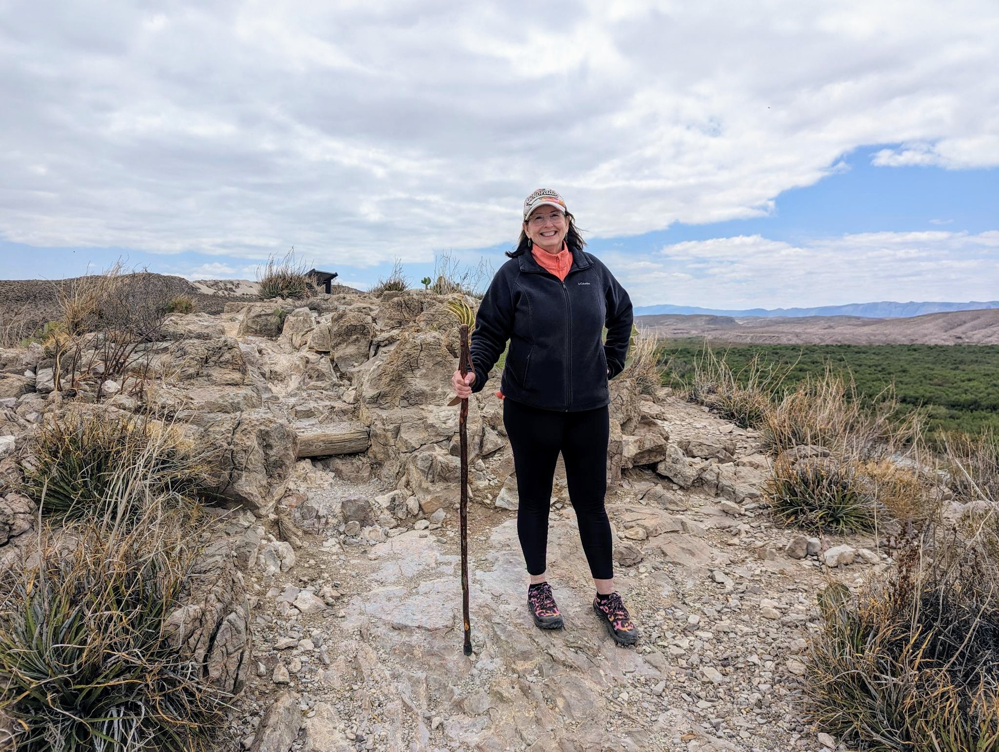
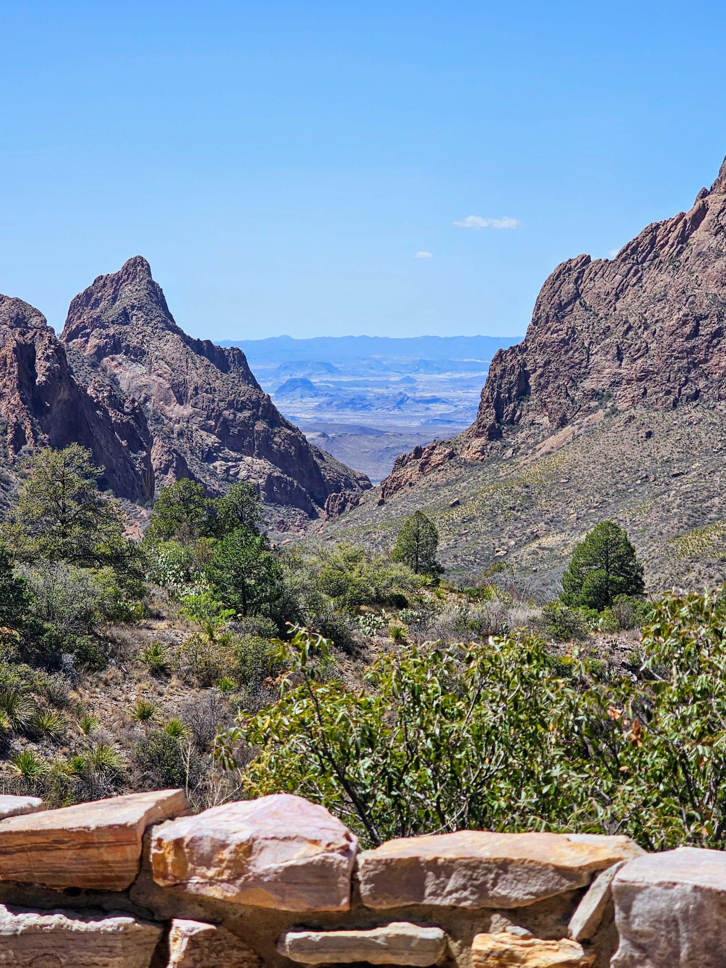
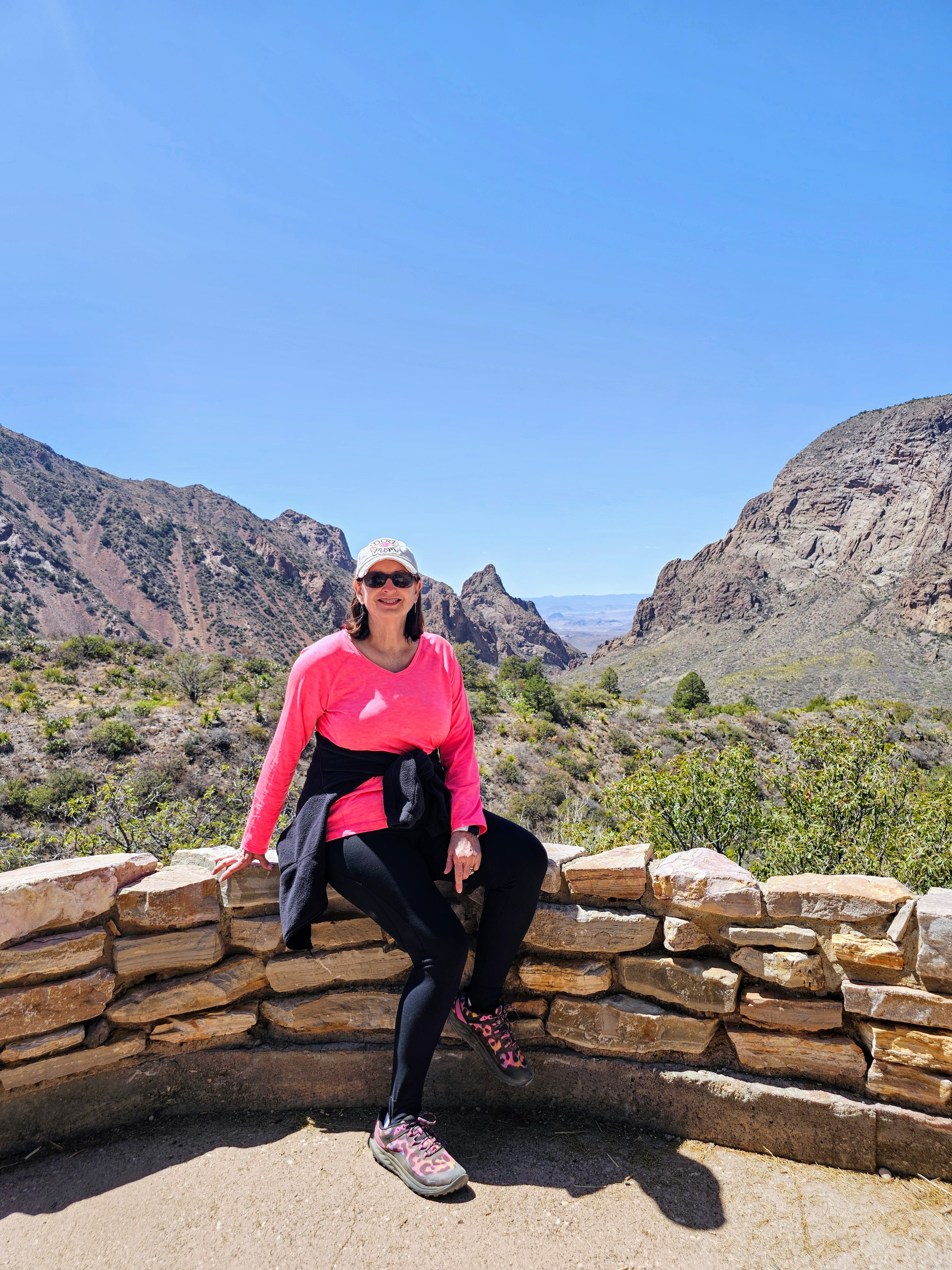
There was a campground, ranger station, lodge, restaurant and grocery store here. There was ample parking and we walked the Window View Trail for great views of the park from this high vantage point. This trail had been closed earlier in the week due to “bear activity” so we didn’t hang around too long!
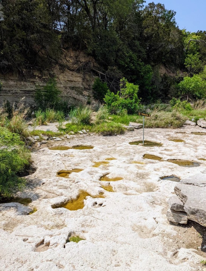
We took a few pics and bought some ice cream to enjoy before our drive back down the mountains into the Chihuahuan Desert and on to Terlingua. We had enjoyed two full days in Big Bend National Park and I really wished we had had one more full day. Three days would have been perfect for a trip here – two days was a little rushed. We never made it to the northern part of the park to Persimmon Gap and I regret not having time to see the fossilized rocks and petroglyphs in certain areas. Sigh.
Overall, we had a great trip. The park was more impressive than I anticipated. The weather turned out to be prefect and there were no crowds anywhere. We felt like we had the park to ourselves. There were no complaints with any part of our trip except for needing more time (and the l-o-n-g drive back home). There were no encounters with rattlesnakes, scorpions, bears or mountain lions – only roadrunners, javelinas, burros, cows, jackrabbits, wild horses and birds.
Official park T-shirt, check. Official park sign photo, check. Official park sticker, check. Hiking shoes held together and didn’t come apart at the soles, check.
All-in-all, this was another very enjoyable national park visit! I highly recommend.